 Block
Maple Valley, Indiana
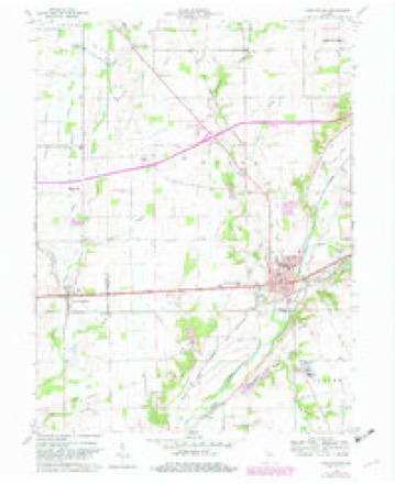
9 topographic sheets cover this place, the earliest surveyed in 1953 and the latest in 1986. It stands in Wayne Township. It lies in ZIP code area 46186. It stands on Perry Brook. The Survey maps it on the Knightstown quadrangle.
Topographic sheets covering this place
4 surveys from 9 printed sheetsMatched by testing this settlement's coordinate against the published boundary of every sheet in the United States Geological Survey's historical collection. Each opens the scanned sheet at the Survey.
- 1953 USGS Cincinnati quadrangle1:250000, 3 printings
- 1957 USGS Cincinnati quadrangle1:250000
- 1960 USGS Knightstown quadrangle1:24000, 3 printings
- 1986 USGS New Castle quadrangle1:100000, 2 printings



In the county-history sources
22,216 words on this townshipHistory of Henry County, Indiana : Together with Sketches of Its Cities, Villages, and Towns ... Also a Condensed History of Indiana, Embracing Accounts of Pre-historic Races, Aborigines, Winnebago and Black Hawk Wars, and a Brief Review of Its Civil and Political History., published 1884 names this settlement in its chapter on Wayne Township. These are the passages that mention it, exactly as the scans read.
Court. The same year he was elected Prosecuting Attorney of the Eighteenth Judicial Circuit. Soon after his nomination he was appointed by the Governor to fill the vacancy of C. M. Butler, and thus served nearly two terms. At present he is City Attorney for Knightstown. He was married in 1876 to Elizabeth Breckenridge.
Passage source: History of Henry County, Indiana : Together with Sketches of Its Cities, Villages, and Towns ... Also a Condensed History of Indiana, Embracing Accounts of Pre-historic Races, Aborigines, Winnebago and Black Hawk Wars, and a Brief Review of Its Civil and Political History., published 1884.
Machine-read from a century-old scan, so expect the errors a machine makes: misspelled names, dropped words, stray characters.
Nearest settlements
The eight closest, with where each one stands in the county. Distances are straight-line, computed from the Geographic Names Information System coordinates.
| Map | Place | Distance | Sheets |
|---|---|---|---|
| Grant City | 2.4 miles | 9 | |
| Knox | 3.9 miles | 9 | |
| Woodville | 4.0 miles | 8 | |
| Kennard | 4.4 miles | 8 | |
| Stone Quarry Mills | 5.7 miles | 10 | |
| Knightstown | 5.9 miles | 9 | |
| Raysville | 6.3 miles | 9 | |
| Greensboro | 6.4 miles | 11 |
Provenance
This settlement is recorded in the Geographic Names Information System as feature 438580. The sheet list is computed by point-in-boundary test against the United States Geological Survey's historical topographic inventory. Both are works of the United States government and carry no copyright under 17 U.S.C. 105.