 Block
Maysville, Indiana
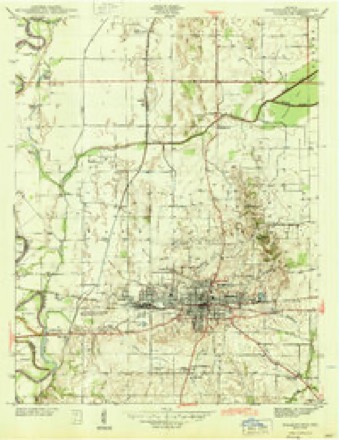
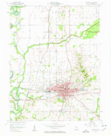
15 topographic sheets cover this place, the earliest surveyed in 1944 and the latest in 1986. It stands in Washington Township. It lies in ZIP code area 47501. It stands on Hawkins Creek. The Survey maps it on the Washington quadrangle. It stands 446 feet above sea level.
Topographic sheets covering this place
6 surveys from 15 printed sheetsMatched by testing this settlement's coordinate against the published boundary of every sheet in the United States Geological Survey's historical collection. Each opens the scanned sheet at the Survey.
- 1944 USGS Washington quadrangle1:24000, 2 printings
- 1956 USGS Vincennes quadrangle1:250000, 4 printings
- 1957 USGS Vincennes quadrangle1:250000
- 1957 USGS Washington quadrangle1:24000, 4 printings
- 1958 USGS Vincennes quadrangle1:250000, 2 printings
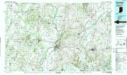
- 1986 USGS Vincennes quadrangle1:100000, 2 printings



In the county-history sources
136,139 words on this townshipHistory of Knox and Daviess County, Indiana : from the Earliest Time to the Present; with Biographical Sketches, Reminiscences, Notes, Etc. ; Together with an Extended History of the Colonial Days of Vincennes, and Its Progress Down to the Formation of the State Government, published 1886 names this settlement in its chapter on Washington Township. These are the passages that mention it, exactly as the scans read.
The principal food of the pioneer was wild meats, such as deer, turkey, bear and smaller game, or hogs that were raised in the woods and were considered common property. Bread stuff was, to a great extent, hominy. What little meal or flour was made was cracked on hand-mills, horse-mills or little water-mills, or beaten in a mortar. The process was about as follows: A block of wood or stump was hollowed out by cutting or burning, and a small mallet or hammer was used for a pestle. The corn was first soaked in lye to remove the bran. It was then placed in the mortar, and the work began. Stimulated by good digestion, strong muscles and sometimes hunger, the work was done. The indifferent meal or flour was bolted by hand ; at first by punching holes in a deer skin with the tines of a fork or other sharp instrument, and this was used as a kind of sieve. A box was sometimes made, and the bottom covered with some suitable cloth, and the meal or flour put in this and shaken over another box, which would receive the finer particles as they fell through the cloth. Some went to Maysville to mill, some to Harbin's horse-mill, some to Donaldson and others elsewhere.
Passage source: History of Knox and Daviess County, Indiana : from the Earliest Time to the Present; with Biographical Sketches, Reminiscences, Notes, Etc. ; Together with an Extended History of the Colonial Days of Vincennes, and Its Progress Down to the Formation of the State Government, published 1886.
Machine-read from a century-old scan, so expect the errors a machine makes: misspelled names, dropped words, stray characters.
Read the whole chapter on Washington Township - it names this place 3 more 3 times.
Fires near this place
6 since 2003Regional context, not property-specific evidence. The federal wildfire occurrence database lists 6 fires within 5 miles of Maysville between 2003 and 2006, burning about 10 acres in total. None started naturally. 1 was recorded as arson. Distance is straight-line from the map coordinates, so a fire counted here may appear on a neighbouring settlement's page as well.
| Reported cause | Fires |
|---|---|
| Debris and open burning | 3 |
| Equipment and vehicle use | 1 |
| Missing data/not specified/undetermined | 1 |
| Arson/incendiarism | 1 |
The most recent of them, most recent first, with the day each was reported and the service that recorded it.
| Date | Cause | Size | Reported by | Name on the report |
|---|---|---|---|---|
| 13 April 2006 | Equipment and vehicle use | 3.0 acres | Indiana State Fire Marshal's Office | not named |
| 9 March 2005 | Debris and open burning | 1.0 acres | Indiana State Fire Marshal's Office | not named |
| 4 March 2006 | Arson/incendiarism | 1.0 acres | Indiana State Fire Marshal's Office | not named |
| 19 March 2005 | Debris and open burning | 3.0 acres | Indiana State Fire Marshal's Office | not named |
| 28 February 2006 | Missing data/not specified/undetermined | 2.0 acres | Indiana State Fire Marshal's Office | not named |
| 25 October 2003 | Debris and open burning | under an acre | Indiana State Fire Marshal's Office | not named |
Settlements close enough to share some of these fires:
Mines and quarries near this place
1 within 5 milesRegional context, not property-specific evidence. The federal mineral resources record lists 1 working within 5 miles of Maysville: 1 producer. All of them still produce. What was taken out: Stone. Distance is straight-line from the map coordinates, so a quarry counted here may appear on a neighbouring settlement's page as well.
| Where | Site | Commodity | Status | Recorded |
|---|---|---|---|---|
| Daviess County Highway Dept. | Stone | Producer |
Storms near this place
8 since 2007Regional context, not property-specific evidence. The National Weather Service names Maysville in 8 storm reports between 2007 and 2024: 4 flood, 3 flash flood, 1 tornado. No death or injury is recorded in these reports. Each account below is quoted exactly as the forecast office filed it, from the NOAA Storm Events Database, and each date opens the federal record of that event.
| When | Event | Place named | Harm | What the report says |
|---|---|---|---|---|
| November 2013 | Tornado (EF2) | Maysville | $100,000 | At 1520EST, this EF-2 tornado touched down 2.8 miles west-southwest of Washington. The tornado moved into the southwest side of Washington, with property damage in the city of Washington. An entire home was knocked off of its foundation near the intersection of Fourth and Sycamore Streets. The tornado lifted at 1523EST in Washington. |
| March 2011 | Flash Flood | Maysville | $50,000 | An emergency management official reported a break on the Unit 8 Bennington levee on the White River, northwest of Washington. At least 49 homes, around U.S. Highways 150 and 50 near Maysville, in Daviess County were evacuated and about 8,000 acres were under water. |
| March 2024 | Flash Flood | Maysville | $10,000 | Water noted flowing over a bridge within Washington. |
| February 2007 | Flood | Maysville | $10,000 | The White River flooded in Daviess County. High water remained into March. |
| March 2007 | Flood | Maysville | $10,000 | The White River remained in flood through the end of the month. Crests were over six feet above flood stage. |
| March 2007 | Flood | Maysville | $10,000 | The White River remained flooded in Daviess County from late February into March. Crests were nearly 4 feet above flood stage. |
| September 2008 | Flash Flood | Maysville | $2,000 | Water was reported over several county roads. Radar estimates indicated that 3 to 4 inches of rain fell over the southern part of the county over a period of several hours. |
| April 2007 | Flood | Maysville | $1,000 | Flooding continued from March into April on the White River in Daviess County. Crests were as high as six feet above flood stage. |
Nearest settlements
The eight closest, with where each one stands in the county. Distances are straight-line, computed from the Geographic Names Information System coordinates.
| Map | Place | Distance | Sheets |
|---|---|---|---|
| Thomas | 2.4 miles | 14 | |
| South Washington | 2.8 miles | 15 | |
| Jordan | 3.0 miles | 15 | |
| Washington | 3.0 miles | 15 | |
| Graham | 5.4 miles | 15 | |
| Sandy Hook | 5.5 miles | 14 | |
| Lettsville | 5.7 miles | 15 | |
| Capehart | 7.0 miles | 15 |
Elsewhere
Matched on this settlement's Geographic Names Information System number rather than its name, so it cannot be a different place of the same name in another state.
| Wikipedia article on Maysville | An encyclopaedic summary. Its text is share-alike, so it is linked here rather than copied. |
| Wikidata item Q14688608 | The structured record the population and elevation above come from. Public domain (CC0). |
Provenance
This settlement is recorded in the Geographic Names Information System as feature 438767. The sheet list is computed by point-in-boundary test against the United States Geological Survey's historical topographic inventory. Both are works of the United States government and carry no copyright under 17 U.S.C. 105.
Wildfire. Short, Karen C. 2022. Spatial wildfire occurrence data for the United States, 1992-2020 [FPA_FOD_20221014]. 6th Edition. Fort Collins, CO: Forest Service Research Data Archive. https://doi.org/10.2737/RDS-2013-0009.6 Collected with United States Government funding and usable without additional permissions or fees.
Mines and quarries. USGS Mineral Resources Data System (MRDS) https://mrdata.usgs.gov/mrds/ A work of the United States government, no copyright under 17 U.S.C. 105.
Storms. NOAA National Centers for Environmental Information, Storm Events Database https://www.ncei.noaa.gov/stormevents/ A work of the United States government, no copyright under 17 U.S.C. 105. Narratives are quoted verbatim from the National Weather Service report and are not edited or summarised.