 Block
New Whiteland, Indiana
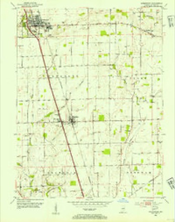
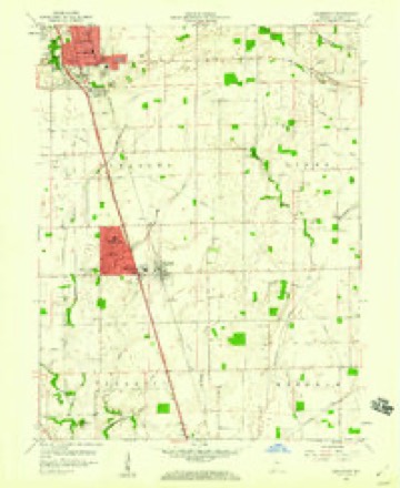
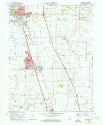
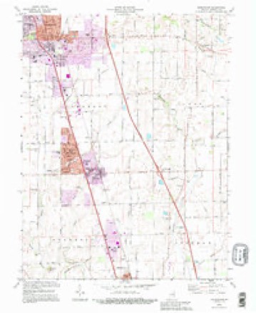
16 topographic sheets cover this place, the earliest surveyed in 1953 and the latest in 1992. It stands in Pleasant Township. It lies in ZIP code area 46184. It stands on East Grassy Creek. The Survey maps it on the Greenwood quadrangle. 5,550 people lived here at the 2020 count. It stands 807 feet above sea level.
Population over time
2 figuresNew Whiteland grew from 5,472 to 5,550 between 2010 and 2020. These are the recorded population figures Wikidata holds for this place, reached through the Geographic Names Information System number this page is keyed on rather than by name, so they belong to this place and not to another of the same name. Most are census counts, but not all are: an early figure may be a founding or settlement estimate, and an estimate published within five years of a census is left out. The change column is computed, and is left blank where more than 20 years separate a figure from the one before it, because a gap that long is not a change between two counts.
| Year | People | Change |
|---|---|---|
| 2010 | 5,472 | |
| 2020 | 5,550 | +78 (+1%) |
Topographic sheets covering this place
9 surveys from 16 printed sheetsMatched by testing this settlement's coordinate against the published boundary of every sheet in the United States Geological Survey's historical collection. Each opens the scanned sheet at the Survey.
- 1953 USGS Greenwood quadrangle1:24000
- 1953 USGS Indianapolis quadrangle1:250000, 4 printings
- 1956 USGS Indianapolis quadrangle1:250000
- 1957 USGS Indianapolis quadrangle1:250000, 2 printings
- 1959 USGS Greenwood quadrangle1:24000
- 1962 USGS Indianapolis quadrangle1:250000
- 1973 USGS Greenwood quadrangle1:24000, 3 printings
- 1986 USGS Indianapolis quadrangle1:100000, 2 printings
- 1992 USGS Greenwood quadrangle1:24000





In the county-history sources
22,145 words on this townshipA Historical Sketch of Johnson County, Indiana, published 1881; History of Johnson County, Indiana : from the Earliest Time to the Present, with Biographical Sketches, Notes, Etc. Together with a Short History of the Northwest, the Indiana Territory, and the State of Indiana, published 1888 has no passage naming this settlement, which was common for smaller places. Its township is covered in full.
The chapter on Pleasant Township covers the township.
Read the chapter on Pleasant Township - 22,145 words.
Mines and quarries near this place
1 within 5 milesRegional context, not property-specific evidence. The federal mineral resources record lists 1 working within 5 miles of New Whiteland: 1 unknown. None of them still produces. What was taken out: Sand and Gravel, Construction. Distance is straight-line from the map coordinates, so a quarry counted here may appear on a neighbouring settlement's page as well.
| Where | Site | Commodity | Status | Recorded |
|---|---|---|---|---|
| Kelsay & York Gravel Pit | Sand and Gravel, Construction | Unknown |
Storms near this place
25 since 2000Regional context, not property-specific evidence. The National Weather Service names New Whiteland in 25 storm reports between 2000 and 2026: 11 hail, 7 thunderstorm wind, 2 lightning, 2 flood. No death or injury is recorded in these reports. Each account below is quoted exactly as the forecast office filed it, from the NOAA Storm Events Database, and each date opens the federal record of that event.
| When | Event | Place named | Harm | What the report says |
|---|---|---|---|---|
| March 2023 | Tornado (EF3) | New Whiteland | $6,670,000 | The rotating supercell's fifth and final tornado was a violent EF3 that immediately followed the Johnson County EF0. Following the storm's east-northeasterly track, a tornado redeveloped (2.8 miles after the end of the EF0) in an open field, 0.15 miles west of the intersection of South Sawmill Road and Park Forest South Drive. The tornado moved through mainly northern portions of the Park Forest neighborhood while strengthening from EF1 to EF2 intensity. The circulation continued towards US Highway 31, damaging a communications tower near Whiteland Sewer Department. After crossing US Highway 31, the tornado inflicted mainly EF2-intensity damage to southeastern portions of Whiteland, especially east of West Street and south of Main Street. Multiple homes sustained major roof damage, while a few homes had most exterior walls collapse, and one poorly constructed home had only one wall left standing.||Higher-end EF2 damage was observed as it crossed the railroad track and hit the neighborhood near Paris Lane and East Pearl Street. Numerous homes sustained roof damage. A poorly constructed and very poorly anchored home along East Pearl Street was completely destroyed down to its concrete slab. The tornado produced damage to a home along Whiteland Road before crossing an open field as it departed the Whiteland community. The vortex maintained intensity before hitting a few more homes along County Road 225 East (Graham Road). Many trees were uprooted or snapped with significant roof damage and a collapsed garage. A warehouse further east-northeast along Graham Road sustained EF3 damage from winds of 140 mph. Portions of the warehouse were completely gone and blown onto Interstate Route 65.||The circulation crossed Interstate 65 and weakened while continuing to the east-northeast. The tornado produced ground scoring through a field to the south of County Road 600 North, and then turned more northeasterly when approaching the intersection of 600 North and Hurricane Road. EF1 damage occurred on either side of Hurricane Road immediately south of its bridge over Hurricane Creek, where a large garage's walls were collapsed and minor tree damage occurred. Finally, the circulation strengthening to EF2 while turning back to more east-northeasterly, completely destroying two farm outbuildings one-third of a mile northeast of the Hurricane Road bridge. The tornado continued another 0.3 miles before ending on a slight rise of land, 0.3 miles west of County Road 500 East. |
| May 2000 | Lightning | New Whiteland | $500,000 | no account filed |
| February 2019 | Flash Flood | New Whiteland | $40,000 | The fire department reported water flowing over numerous roads in Johnson County with a swift water rescue completed near Greenwood due to flash flooding from heavy rainfall. |
| March 2026 | Flood | New Whiteland | $25,000 | Standing water caused vehicles to become stranded on roads with at least one road closed by the high water. |
| February 2019 | Flash Flood | New Whiteland | $20,000 | Several roads were closed all across the county due to flash flooding from heavy rainfall. |
| April 2015 | Thunderstorm Wind | New Whiteland | $15,000 | A grain silo was downed due to damaging thunderstorm wind gusts. |
| June 2025 | Thunderstorm Wind | New Whiteland | $5,000 | Tree and power line downed by thunderstorm wind gusts. |
| June 2006 | Lightning | New Whiteland | $5,000 | Lightning struck a transformer on Tracy Road, causing a power outage lasting 11 hours. |
| June 2011 | Flood | New Whiteland | $1,000 | Numerous roads were reported with water over the road and closed in Johnson County, especially near New Whiteland. |
| June 2017 | Thunderstorm Wind | New Whiteland | $750 | A home sustained minor shingle damage due to strong thunderstorm wind gusts. |
| May 2015 | Thunderstorm Wind | New Whiteland | $200 | A three inch diameter tree limb was snapped due to strong thunderstorm wind gusts. This was reported by BAM Chase. |
| March 2020 | Thunderstorm Wind | New Whiteland | - | Trained spotter estimated 65 mph thunderstorm wind gust. |
| June 2011 | Hail | New Whiteland | - | This hail was accompanied by a measured 45 mph thunderstorm wind gust. |
| June 2006 | Thunderstorm Wind | New Whiteland | - | Trees were downed. |
| May 2024 | Hail | New Whiteland | - | no account filed |
| June 2011 | Hail | New Whiteland | - | no account filed |
| May 2011 | Hail | New Whiteland | - | no account filed |
| May 2011 | Hail | New Whiteland | - | no account filed |
| May 2011 | Hail | New Whiteland | - | no account filed |
| May 2011 | Hail | New Whiteland | - | no account filed |
| April 2006 | Hail | New Whiteland | - | no account filed |
| July 2006 | Hail | New Whiteland | - | no account filed |
| April 2003 | Hail | New Whiteland | - | no account filed |
| May 2003 | Thunderstorm Wind | New Whiteland | - | no account filed |
| September 2001 | Hail | New Whiteland | - | no account filed |
Nearest settlements
The eight closest, with where each one stands in the county. Distances are straight-line, computed from the Geographic Names Information System coordinates.
| Map | Place | Distance | Sheets |
|---|---|---|---|
| West Whiteland | 0.6 miles | 16 | |
| Whiteland | 1.0 miles | 16 | |
| Tremont | 3.5 miles | 16 | |
| Stones Crossing | 3.6 miles | 16 | |
| Greenwood | 3.9 miles | 16 | |
| McCarty | 4.0 miles | 16 | |
| Green Valley | 4.1 miles | 16 | |
| El Dorado | 4.2 miles | 16 |
Elsewhere
Matched on this settlement's Geographic Names Information System number rather than its name, so it cannot be a different place of the same name in another state.
| Wikipedia article on New Whiteland | An encyclopaedic summary. Its text is share-alike, so it is linked here rather than copied. |
| Wikidata item Q2648248 | The structured record the population and elevation above come from. Public domain (CC0). |
Provenance
This settlement is recorded in the Geographic Names Information System as feature 440125. The sheet list is computed by point-in-boundary test against the United States Geological Survey's historical topographic inventory. Both are works of the United States government and carry no copyright under 17 U.S.C. 105.
Mines and quarries. USGS Mineral Resources Data System (MRDS) https://mrdata.usgs.gov/mrds/ A work of the United States government, no copyright under 17 U.S.C. 105.
Storms. NOAA National Centers for Environmental Information, Storm Events Database https://www.ncei.noaa.gov/stormevents/ A work of the United States government, no copyright under 17 U.S.C. 105. Narratives are quoted verbatim from the National Weather Service report and are not edited or summarised.