 Block
Deerfield, Indiana
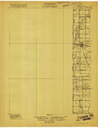
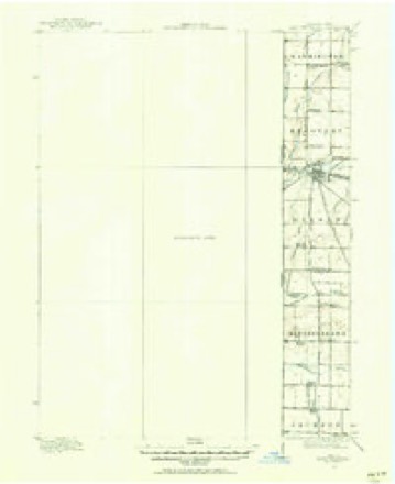
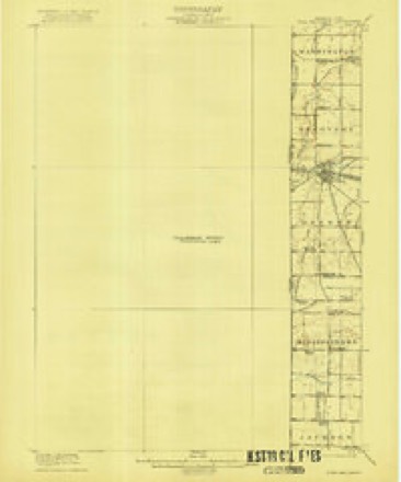
14 topographic sheets cover this place, the earliest surveyed in 1915 and the latest in 1992. It stands in Ward Township. It lies in ZIP code area 47380. It stands on Mud Creek. The Survey maps it on the Deerfield quadrangle. It stands 991 feet above sea level.
On record in Deerfield
Buildings and businesses the archive holds for this place. Each opens its own page, with the source record it came from.
On the National Register 1 record
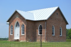 Ward Township District No. 5 Schoollisted 2017
Topographic sheets covering this place
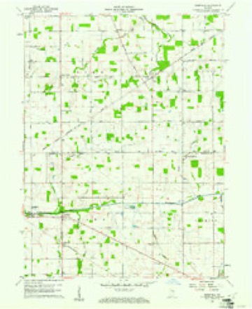
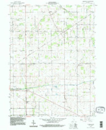
8 surveys from 14 printed sheetsMatched by testing this settlement's coordinate against the published boundary of every sheet in the United States Geological Survey's historical collection. Each opens the scanned sheet at the Survey.
- 1915 USGS Fort Recovery quadrangle1:48000
- 1915 USGS Fort Recovery quadrangle1:62500
- 1918 USGS Fort Recovery quadrangle1:62500
- 1953 USGS Muncie quadrangle1:250000, 5 printings
- 1956 USGS Muncie quadrangle1:250000
- 1960 USGS Deerfield quadrangle1:24000
- 1986 USGS Piqua quadrangle1:100000, 3 printings
- 1992 USGS Deerfield quadrangle1:24000


In the county-history sources
10,585 words on this townshipHistory of Randolph County, Indiana with Illustrations and Biographical Sketches of Some of Its Prominent Men and Pioneers : to Which Are Appended Maps of Its Several Townships, published 1882 names this settlement in its chapter on Ward Township. These are the passages that mention it, exactly as the scans read.
A few settlers found their way upon the Mississinowa very early in the history of the county.' When, in August, 1818, the first election was held in the then new county of Randolph, several families resided in the Mississinewa Valley, and most of them east of Deerfield. Just who were there at that early time cannot now with certainty be determined. The Ih-st entry in the Mississinowa Valley and in Ward Township as well, appears to have been near the river, and not far fi-om the east side of the, township. It comprised a whole section, Section 13, Town 21, Range l-f-. and was entered by .Tames Strain. The tract lies betvteen Judge Miller's old farm and the Mississinewa. Whether Mr. S. settled on the tract is not now known. We have not met his name in any account of the primitive settlement of the valley.
Passage source: History of Randolph County, Indiana with Illustrations and Biographical Sketches of Some of Its Prominent Men and Pioneers : to Which Are Appended Maps of Its Several Townships, published 1882.
The next entry was by Daniel Rifhardson, S. W. Section 12, Town 21 . Range 14, May 21, 1817. The land lay directly north of Strain's section, and on both sides of the river. June 10, 1817, or three weeks after Ricliardsons entry, eight other entries were made, all quarter sections but one, 1,360 acres in all. The parties wore James Wilson, Benjamin Lewallyti, David Kite, Daniel Kite, James and John Jacobs, Joel Oanady, James Reed. These tracts all lay in Sections 7, 8, 9 iind 10, Township 21, Range 14, comprising one-quarter of Section 7, throe-quarters of Section 8, one half of Section 9 and three eighties in Section 10. These lands extended from Burkett Pierce's, on the west, to one and one half miles oast of Deerfield, three miles in length, but did not include the town itself. AVith Meshach Lewallyn's and James Strain's, the whole extent of the river for seven miles had been takcu up, except one and thi-ee-f ourths uiiles in two " gaps." In the course of three years, or by October, 1820, most of the rest of the land on and near tlii^ river and several tracts along Mud and Hickory and Goshc»n Creeks, had been pm-chased.
Passage source: History of Randolph County, Indiana with Illustrations and Biographical Sketches of Some of Its Prominent Men and Pioneers : to Which Are Appended Maps of Its Several Townships, published 1882.
Samuel Cain, Jeremiah Lindsay. Jacob Weaver and William -hicksou had entered laud on Hiclcorv Creek, south of Deerfield. .James Jacobs had entered the Ritenom- land. Josejjh Hinshaw entered the laud embracing th(< west part of Deerfield, June 23, 1S17. The east part was in Section IG and therefore school laud.
Passage source: History of Randolph County, Indiana with Illustrations and Biographical Sketches of Some of Its Prominent Men and Pioneers : to Which Are Appended Maps of Its Several Townships, published 1882.
Machine-read from a century-old scan, so expect the errors a machine makes: misspelled names, dropped words, stray characters.
Read the whole chapter on Ward Township - it names this place 12 more 12 times.
Mines and quarries near this place
2 within 5 milesRegional context, not property-specific evidence. The federal mineral resources record lists 2 workings within 5 miles of Deerfield: 1 past producer, 1 producer. 1 still produces. What was taken out: Stone, Crushed/Broken. Distance is straight-line from the map coordinates, so a quarry counted here may appear on a neighbouring settlement's page as well.
| Where | Site | Commodity | Status | Recorded |
|---|---|---|---|---|
| H&R Stone Corp Limestone Quarry | Stone, Crushed/Broken | Past Producer | ||
| Ridgeville, Meshberger Bros. S | Stone, Crushed/Broken | Producer |
Storms near this place
9 since 2001Regional context, not property-specific evidence. The National Weather Service names Deerfield in 9 storm reports between 2001 and 2021: 3 thunderstorm wind, 3 flood, 2 hail, 1 flash flood. No death or injury is recorded in these reports. Each account below is quoted exactly as the forecast office filed it, from the NOAA Storm Events Database, and each date opens the federal record of that event.
| When | Event | Place named | Harm | What the report says |
|---|---|---|---|---|
| March 2008 | Flood | Deerfield | $15,000 | Flooding occurred along the Mississinewa River in Randolph County, including near Ridgeville, due to heavy rain. |
| January 2008 | Flood | Deerfield | $10,000 | Flooding occurred along the Mississinewa River in Randolph County, including near Ridgeville, due to heavy rain and snow melt. |
| February 2008 | Flood | Deerfield | $10,000 | Flooding occurred along the Mississinewa River in Randolph County, including near Ridgeville, due to heavy rain and snow melt. |
| June 2012 | Thunderstorm Wind | Deerfield | $2,000 | Shingles were blown off a garage roof due to damaging thunderstorm wind gusts. Winds were estimated at 65 to 70 mph. |
| May 2015 | Thunderstorm Wind | Deerfield | $1,000 | Power lines were reported down across Highway 27 near State Route 28 due to damaging thunderstorm wind gusts. |
| July 2008 | Flash Flood | Deerfield | $1,000 | Highway 28 in Deerfield was flooded by heavy thunderstorm rains. |
| June 2021 | Hail | Deerfield | - | no account filed |
| July 2002 | Thunderstorm Wind | Deerfield | - | no account filed |
| April 2001 | Hail | Deerfield | - | no account filed |
Nearest settlements
The eight closest, with where each one stands in the county. Distances are straight-line, computed from the Geographic Names Information System coordinates.
| Map | Place | Distance | Sheets |
|---|---|---|---|
| Randolph | 0.9 miles | 14 | |
| Ridgeville | 2.9 miles | 12 | |
| Stone | 3.3 miles | 13 | |
| Saratoga | 4.2 miles | 18 | |
| New Pittsburg | 4.6 miles | 14 | |
| Mull | 7.1 miles | 13 | |
| Winchester | 7.4 miles | 18 | |
| Shedville | 8.1 miles | 11 |
Elsewhere
Matched on this settlement's Geographic Names Information System number rather than its name, so it cannot be a different place of the same name in another state.
| Wikipedia article on Deerfield | An encyclopaedic summary. Its text is share-alike, so it is linked here rather than copied. |
| Wikidata item Q5250879 | The structured record the population and elevation above come from. Public domain (CC0). |
Provenance
This settlement is recorded in the Geographic Names Information System as feature 433436. The sheet list is computed by point-in-boundary test against the United States Geological Survey's historical topographic inventory. Both are works of the United States government and carry no copyright under 17 U.S.C. 105.
Mines and quarries. USGS Mineral Resources Data System (MRDS) https://mrdata.usgs.gov/mrds/ A work of the United States government, no copyright under 17 U.S.C. 105.
Storms. NOAA National Centers for Environmental Information, Storm Events Database https://www.ncei.noaa.gov/stormevents/ A work of the United States government, no copyright under 17 U.S.C. 105. Narratives are quoted verbatim from the National Weather Service report and are not edited or summarised.