 Block
Samaria, Indiana
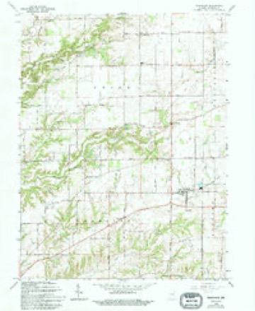
21 topographic sheets cover this place, the earliest surveyed in 1942 and the latest in 1986. It stands in Hensley Township. It lies in ZIP code area 46181. The Survey maps it on the Trafalgar quadrangle. It stands 801 feet above sea level.
Topographic sheets covering this place
10 surveys from 21 printed sheetsMatched by testing this settlement's coordinate against the published boundary of every sheet in the United States Geological Survey's historical collection. Each opens the scanned sheet at the Survey.
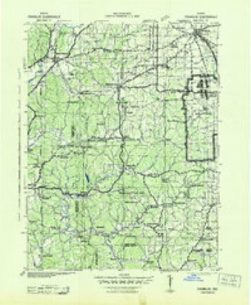
- 1942 USGS Franklin quadrangle1:125000
- 1947 USGS Franklin quadrangle1:62500
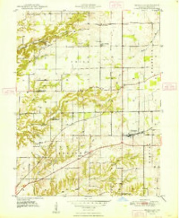
- 1948 USGS Trafalgar quadrangle1:24000, 2 printings
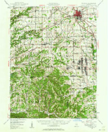
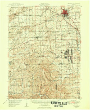
- 1950 USGS Franklin quadrangle1:62500, 2 printings
- 1953 USGS Indianapolis quadrangle1:250000, 4 printings
- 1956 USGS Indianapolis quadrangle1:250000
- 1957 USGS Indianapolis quadrangle1:250000, 2 printings
- 1962 USGS Indianapolis quadrangle1:250000
- 1965 USGS Trafalgar quadrangle1:24000, 4 printings
- 1986 USGS Bloomington quadrangle1:100000, 3 printings





In the county-history sources
8,633 words on this townshipHistory of Johnson County, Indiana : from the Earliest Time to the Present, with Biographical Sketches, Notes, Etc. Together with a Short History of the Northwest, the Indiana Territory, and the State of Indiana, published 1888 names this settlement in its chapter on Hensley Township. These are the passages that mention it, exactly as the scans read.
Aaron V. Burget, prominent farmer and stock-raiser of Hensley Township, is an Indianian by birth, having been born in Johnson County, on the 3d day of November, 1843. His father, Valentine Burget, was a native of Ohio, and an early resident of Johnson County, accompanying his parents here about the year 1832, and settling in Nineveh Township. Valentine Burget grew to manhooc} in Nineveh Township, and in 1S39 was uniT-ed in marriage with Nancy Keaton, a native of Tennessee, and daughter of Miles and Sylvia (Butram) Keaton, of North Carolina. To this marriage ten children were born, five of whom are now living, and residents of Johnson County. Mr. Burget was a prominent citizen, and had a large circle of friends in this and other parts of the country. He died in 1885, aged seventy-one years. The subject of this sketch was reared to agricultural pursuits, receiving a good practical English education, and for some time followed the teacher's calling in Nineveh Township. He afterward abandoned the profession for farming, which useful vocation he has since carried on. On the 16th of April, 1863, was solemnized his marriage with Miss Lucinda, daughter of William and Mary (Teeters) Gillaspy. The father of Mrs. Burget was drowned in White River a number of years ago, and the mother, who is still living, subsequently married Thomas Gillaspy. Mr. Burget was a resident of Nineveh Township until 1871, at which time he purchased his present home place, consisting of 109 acres, in Section 13, Hensley Township, where he has since lived and prospered. He is a democrat in politics, and as such has held minor official positions at different times, the duties of which he discharged in a manner highly satisfactory to all concerned. He identified himself with the Christian Church a number of years ago, and is an earnest and consistent member of that denomination. Mr. and Mrs. Burget have had eight children, seven of whom are now living, viz. : Dillard A., William M., Tillas A., Alice, Nancy A., Sallie E. and Floyd E. Emma L., the fourth child, died at the age of five years.
Passage source: History of Johnson County, Indiana : from the Earliest Time to the Present, with Biographical Sketches, Notes, Etc. Together with a Short History of the Northwest, the Indiana Territory, and the State of Indiana, published 1888.
Joseph Clark, M. D., is a native of Indiana, and was born in Bartholomew County, on the 14th day of October, 1838. His father, Thomas S. Clark, was born in the city of Manchester, England, and at an early age came to America, locating at Lebanon, Ohio, where he learned the cabinet-makers' trade. After residing at this place a number of years, he moved to Indiana, about 1823, and entered a tract of land in Jackson Township, Shelby County.
Passage source: History of Johnson County, Indiana : from the Earliest Time to the Present, with Biographical Sketches, Notes, Etc. Together with a Short History of the Northwest, the Indiana Territory, and the State of Indiana, published 1888.
Machine-read from a century-old scan, so expect the errors a machine makes: misspelled names, dropped words, stray characters.
Mines and quarries near this place
1 within 5 milesRegional context, not property-specific evidence. The federal mineral resources record lists 1 working within 5 miles of Samaria: 1 past producer. None of them still produces. What was taken out: Clay. Distance is straight-line from the map coordinates, so a quarry counted here may appear on a neighbouring settlement's page as well.
| Where | Site | Commodity | Status | Recorded |
|---|---|---|---|---|
| Ashboro Pit | Clay | Past Producer |
Storms near this place
3 since 2010Regional context, not property-specific evidence. The National Weather Service names Samaria in 3 storm reports between 2010 and 2015: 2 tornado, 1 hail. No death or injury is recorded in these reports. Each account below is quoted exactly as the forecast office filed it, from the NOAA Storm Events Database, and each date opens the federal record of that event.
| When | Event | Place named | Harm | What the report says |
|---|---|---|---|---|
| July 2015 | Tornado (EF0) | Samaria | $75,000 | A sporadic path of trees were downed from State Route 135, just southwest of Samaria, southeast to near Princes Lakes. Corn stalks and a few trees in a field along County Road 450 West, south of County Road 525 South, were laid down in multiple directions. The maximum width of damage was found in this area. Several homes sustained property damage to trees falling on them in a neighborhood along County Road 750 South and on the northwest side of Princes Lakes.||Radar analysis combined with the survey information is suggestive that areas of straight line downburst winds may have occurred within the damage path as well. |
| July 2010 | Tornado (EF0) | Samaria | $20,000 | The damage from this tornado is rated at EF0, associated with winds ranging from 45 to 85 miles per hour. Damage seen in a survey conducted by the National Weather Service on the morning of Wednesday, July 21, 2010 included several trees snapped in half or uprooted, damage to a shed where the tin roof was littered into an open field, and tin siding embedded into the ground. Matted down corn with a convergent pattern was also found in the location where the touchdown occurred. Several witnesses also reported lots of debris in the air at the time of the tornado verified by scattered branches in fields and onto power lines. |
| April 2013 | Hail | Samaria | - | Hail was covering the ground in this location. |
Nearest settlements
The eight closest, with where each one stands in the county. Distances are straight-line, computed from the Geographic Names Information System coordinates.
| Map | Place | Distance | Sheets |
|---|---|---|---|
| Anita | 1.5 miles | 21 | |
| Trafalgar | 2.1 miles | 21 | |
| Bud | 3.0 miles | 21 | |
| Peoga | 4.8 miles | 23 | |
| Mount Pleasant | 5.3 miles | 23 | |
| Princes Lakes | 5.8 miles | 23 | |
| Providence | 6.0 miles | 21 | |
| Nineveh | 6.1 miles | 23 |
Elsewhere
Matched on this settlement's Geographic Names Information System number rather than its name, so it cannot be a different place of the same name in another state.
| Wikipedia article on Samaria | An encyclopaedic summary. Its text is share-alike, so it is linked here rather than copied. |
| Wikidata item Q7408825 | The structured record the population and elevation above come from. Public domain (CC0). |
Provenance
This settlement is recorded in the Geographic Names Information System as feature 442947. The sheet list is computed by point-in-boundary test against the United States Geological Survey's historical topographic inventory. Both are works of the United States government and carry no copyright under 17 U.S.C. 105.
Mines and quarries. USGS Mineral Resources Data System (MRDS) https://mrdata.usgs.gov/mrds/ A work of the United States government, no copyright under 17 U.S.C. 105.
Storms. NOAA National Centers for Environmental Information, Storm Events Database https://www.ncei.noaa.gov/stormevents/ A work of the United States government, no copyright under 17 U.S.C. 105. Narratives are quoted verbatim from the National Weather Service report and are not edited or summarised.