 Block
Trafalgar, Indiana
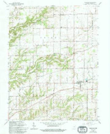
21 topographic sheets cover this place, the earliest surveyed in 1942 and the latest in 1986. It stands in Hensley Township. It lies in ZIP code area 46181. The Survey maps it on the Trafalgar quadrangle. 1,422 people lived here at the 2020 count. It stands 827 feet above sea level.
Population over time
2 figuresTrafalgar grew from 1,101 to 1,422 between 2010 and 2020. These are the recorded population figures Wikidata holds for this place, reached through the Geographic Names Information System number this page is keyed on rather than by name, so they belong to this place and not to another of the same name. Most are census counts, but not all are: an early figure may be a founding or settlement estimate, and an estimate published within five years of a census is left out. The change column is computed, and is left blank where more than 20 years separate a figure from the one before it, because a gap that long is not a change between two counts.
| Year | People | Change |
|---|---|---|
| 2010 | 1,101 | |
| 2020 | 1,422 | +321 (+29%) |
Topographic sheets covering this place
10 surveys from 21 printed sheetsMatched by testing this settlement's coordinate against the published boundary of every sheet in the United States Geological Survey's historical collection. Each opens the scanned sheet at the Survey.
- 1942 USGS Franklin quadrangle1:125000
- 1947 USGS Franklin quadrangle1:62500
- 1948 USGS Trafalgar quadrangle1:24000, 2 printings
- 1950 USGS Franklin quadrangle1:62500, 2 printings
- 1953 USGS Indianapolis quadrangle1:250000, 4 printings
- 1956 USGS Indianapolis quadrangle1:250000
- 1957 USGS Indianapolis quadrangle1:250000, 2 printings
- 1962 USGS Indianapolis quadrangle1:250000
- 1965 USGS Trafalgar quadrangle1:24000, 4 printings
- 1986 USGS Bloomington quadrangle1:100000, 3 printings
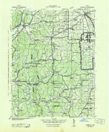
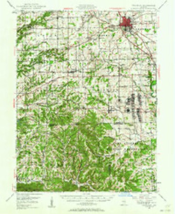
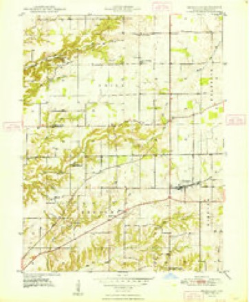
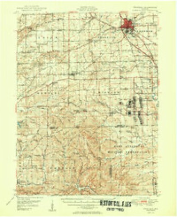





In the county-history sources
8,633 words on this townshipA Historical Sketch of Johnson County, Indiana, published 1881; History of Johnson County, Indiana : from the Earliest Time to the Present, with Biographical Sketches, Notes, Etc. Together with a Short History of the Northwest, the Indiana Territory, and the State of Indiana, published 1888 names this settlement in its chapter on Hensley Township. These are the passages that mention it, exactly as the scans read.
On the 10th of March, 1799, Richardson Hensley was born near Fredericksburg, in Virginia. While he was yet a child, his father moved to Fayette County, Ky., after which he moved to Mercer County, where, in 1800, Richardson was married to Miss Elizabeth Cully. In the war of 1812, he served as a First Lieutenant on the frontier; and in March, 1825, he brought his family to Johnson County, hunting for a home, after having spent a year in Jackson County, this State. Accompanying him was William Davenport, a North Carolinian, and William Mitchell, a Virginian, his sons-in-law, and their families. Five or six families were living in around Edinburg, and at the Nineveh settlement the road ended. Stopping at some point at the time not now known, but probably on the Nineveh, Hensley and his companions made a tour through the woods, and selected the central part of Congressional Township 11, Range 3, on the banks of Indian Creek, as the place for their homes. Among the woodsmen of that day Curtis Pritchard stood at the head, and, employing him to select the best route through the wilderness from Nineveh to Indian Creek for a road, he went ahead, with horn in hand, and at intervals would wind a blast as a signal to the axmen to cut through the woods to his vantage-ground. Selecting a quarter section, cornering with the center of the Congressional township, Hensley put up a cabin, and then, on the 17th of February, he entered the first tract of land in the township that was occupied by a pioneer.
Passage source: A Historical Sketch of Johnson County, Indiana, published 1881.
In 1823, three hundred and twenty acres had been taken up in the northeast corner of the township, and at the same time two hundred and forty acres just across the township line, now in Union, by David Scott. But Scott never came to his purchases ; and many were the conjectures accounting for it indulged in by those who knew of the " Scott lands." The most popular of these was, that he had been murdered before reaching home, after his entry had been made ; and it was seventeen years after the purchase before it was learned that Scott was a trader, living at Cheat Neck, near Morgantown, in Virginia, and that he had invested the proceeds of a trading voyage to New Orleans in Congress lands in Johnson, Bartholomew, Shelby and other counties in Indiana, and then had returned to his home and re- ported to his creditors the loss of his cargo in the Mississippi, and made with them a composition of his debts. But his fraud availed him nothing, for shortly after he came to his death by being thrown from his horse, and his secret died with him. Not even had he divulged it to his wife and daughter. William Y. Johns, a young man living in Scott's neighborhood, being lured to Johnson County about 1837, by the memory of an old sweetheart, and remaining here, was elected to the office of County Treasurer, in 1844, and the " Scott lands" coming under his notice, he made the discovery that they had been entered by his old neighbor from Cheat Neck. William Y. Johns' brother was then married to Scott's only daughter ; and the widow, who was still living, and the daughter, came to Indiana. And although the " Scott lands " had long been sold at tax sales, they were partially redeemed.
Passage source: A Historical Sketch of Johnson County, Indiana, published 1881.
Warren Coleman. - The paternal ancestors of the subject of this sketch came originally from Germany, and settled in America in the time of the colonies. Jacob Coleman, grandfather of Warren, fought for the cause of liberty during the War of the Revolution, and his son, Jacob, Jr., served with distinction in the War of 1812. The family early emigrated to Ohio, in which state the subject's father was married in 1809, to Miss Elizabeth Thomas, an aunt of the late General George H. Thomas, who bore such a distinguished part in the late War of the Rebellion. Jacob Thomas farmed for a number of years near the city of Cleveland, and, in 1839, came to Johnson County, Ind., where he lived until his death in 1873. Flis wife survived him many years, dying March 25, 1883, at the advanced age of ninety-five years. They raised to manhood and womanhood a family of eight children, of whom three are now living: Mrs. Sarah Loyd, Mrs. Amanda Hammond and the subject of this biography. Warren Coleman was born near the city of Cleveland, Ohio, on the 12th of July, 1816, and until his twentyfourth year, resided in his native state. He accompanied his parents to Johnson County, in 1839, anc^ until his marriage, which was solemnized on the 16th day of March, 1847, with Miss Lucy Gillaspy, he remained on the home place looking after his parents' interest. Shortly after marriage, Mr. Coleman settled in the northwest part of Nineveh Township, and from time to time purchased land until he now owns a farm of 123 acres, the greater part of which is under a high state of cultivation. He has been a very industrious man, and, as a democrat, served three years as commissioner of Johnson County, besides having held minor official positions. His wife was a daughter of Joseph Gillaspy, one of the early residents of the township. She died August 21, 1879. ^rand Mrs. Coleman raised a family of seven children, whose names are as follows: Francis M., William D., George W., Susan, Lucy J., Amos* and Jacob.
Passage source: History of Johnson County, Indiana : from the Earliest Time to the Present, with Biographical Sketches, Notes, Etc. Together with a Short History of the Northwest, the Indiana Territory, and the State of Indiana, published 1888.
Machine-read from a century-old scan, so expect the errors a machine makes: misspelled names, dropped words, stray characters.
Read the whole chapter on Hensley Township - it names this place 1 more 1 time.
Mines and quarries near this place
1 within 5 milesRegional context, not property-specific evidence. The federal mineral resources record lists 1 working within 5 miles of Trafalgar: 1 past producer. None of them still produces. What was taken out: Clay. Distance is straight-line from the map coordinates, so a quarry counted here may appear on a neighbouring settlement's page as well.
| Where | Site | Commodity | Status | Recorded |
|---|---|---|---|---|
| Ashboro Pit | Clay | Past Producer |
Storms near this place
14 since 1996Regional context, not property-specific evidence. The National Weather Service names Trafalgar in 14 storm reports between 1996 and 2022: 7 thunderstorm wind, 6 hail, 1 lightning. No death or injury is recorded in these reports. Each account below is quoted exactly as the forecast office filed it, from the NOAA Storm Events Database, and each date opens the federal record of that event.
| When | Event | Place named | Harm | What the report says |
|---|---|---|---|---|
| April 1996 | Lightning | Trafalgar | $40,000 | no account filed |
| September 2005 | Thunderstorm Wind | Trafalgar | $8,000 | A barn roof was partially removed by thunderstorm winds. |
| March 2022 | Thunderstorm Wind | Trafalgar | $4,000 | Thunderstorm winds that may have been a very localized microburst at Indian Creek High School moved a van east of its original location and rolled an empty trailer several hundred yards. No damage to nearby structures or buses in parking lot. |
| July 2021 | Thunderstorm Wind | Trafalgar | $250 | Small tree branches downed by thunderstorm wind gusts on State Highway 135. |
| September 2008 | Hail | Trafalgar | - | An emergency manager reported nickel size hail falling for 20 minutes. |
| July 2006 | Thunderstorm Wind | Trafalgar | - | A tree fell into the roadway. |
| June 2006 | Thunderstorm Wind | Trafalgar | - | Trees were downed. |
| July 2005 | Thunderstorm Wind | Trafalgar | - | A tree fell on a house. No damage estimates were available. |
| July 2003 | Thunderstorm Wind | Trafalgar | - | Large tree and numerous tree limbs down |
| November 2005 | Hail | Trafalgar | - | no account filed |
| July 2004 | Hail | Trafalgar | - | no account filed |
| June 2001 | Hail | Trafalgar | - | no account filed |
| May 2000 | Hail | Trafalgar | - | no account filed |
| August 1997 | Hail | Trafalgar | - | no account filed |
Nearest settlements
The eight closest, with where each one stands in the county. Distances are straight-line, computed from the Geographic Names Information System coordinates.
| Map | Place | Distance | Sheets |
|---|---|---|---|
| Samaria | 2.1 miles | 21 | |
| Anita | 2.3 miles | 21 | |
| Bud | 2.5 miles | 21 | |
| Mount Pleasant | 3.5 miles | 23 | |
| Peoga | 5.1 miles | 23 | |
| Nineveh | 5.1 miles | 23 | |
| Princes Lakes | 5.1 miles | 23 | |
| Providence | 5.3 miles | 21 |
Elsewhere
Matched on this settlement's Geographic Names Information System number rather than its name, so it cannot be a different place of the same name in another state.
| Wikipedia article on Trafalgar | An encyclopaedic summary. Its text is share-alike, so it is linked here rather than copied. |
| Wikidata item Q2611968 | The structured record the population and elevation above come from. Public domain (CC0). |
Provenance
This settlement is recorded in the Geographic Names Information System as feature 444851. The sheet list is computed by point-in-boundary test against the United States Geological Survey's historical topographic inventory. Both are works of the United States government and carry no copyright under 17 U.S.C. 105.
Mines and quarries. USGS Mineral Resources Data System (MRDS) https://mrdata.usgs.gov/mrds/ A work of the United States government, no copyright under 17 U.S.C. 105.
Storms. NOAA National Centers for Environmental Information, Storm Events Database https://www.ncei.noaa.gov/stormevents/ A work of the United States government, no copyright under 17 U.S.C. 105. Narratives are quoted verbatim from the National Weather Service report and are not edited or summarised.