 Block
Summit Chapel, Indiana
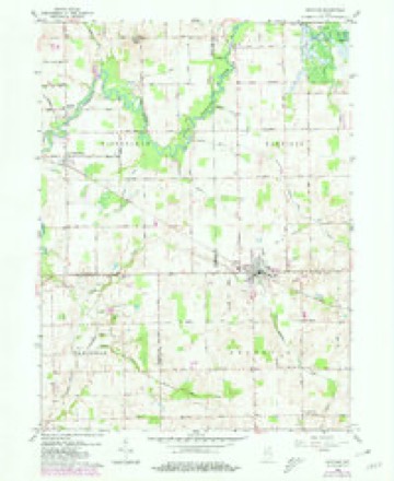
11 topographic sheets cover this place, the earliest surveyed in 1953 and the latest in 1984. It stands in Tippecanoe Township. It lies in ZIP code area 46504. The Survey maps it on the Mentone quadrangle.
On record in Summit Chapel
Buildings and businesses the archive holds for this place. Each opens its own page, with the source record it came from.
On the National Register within a mile 1 record
The National Register names another town for these. They stand within one mile of this settlement's coordinate.
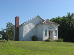 Tippecanoe Twp. District No. 3 Schoolhouse and Cemeterylisted 2008 · 0.0 miles away
Topographic sheets covering this place
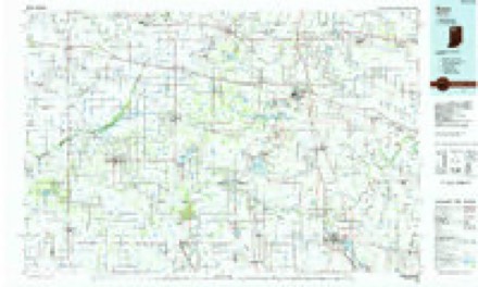
4 surveys from 11 printed sheetsMatched by testing this settlement's coordinate against the published boundary of every sheet in the United States Geological Survey's historical collection. Each opens the scanned sheet at the Survey.
- 1953 USGS Chicago quadrangle1:250000, 5 printings
- 1957 USGS Chicago quadrangle1:250000
- 1959 USGS Mentone quadrangle1:24000, 3 printings
- 1984 USGS Knox quadrangle1:100000, 2 printings


What happened here
An account from the chapter on Tippecanoe township. The inset identifies its exact source book and publication year.
Deaths By Accident And Otherwise
This locality has been remarkably free from murders, suicides and aecidental deaths, so far as can be ascertained. James Welch, above noted, seems to have been the first one in this region who "shuffled off this mortal coil" of his own volition. No cause is known for his untimely taking off.
In the county-history sources
4,079 words on this townshipMcDonald, Daniel - History Of Marshall County, Indiana 1836-1880 (Kingman Bros., 1881), published 1881; History of Indiana : Containing a History of Indiana and Biographical Sketches of Governors and Other Leading Men. Also a Statement of the Growth and Prosperity of Marshall County, Together with a Personal and Family Histry of Many of Its Citizens, published 1890 has no passage naming this settlement, which was common for smaller places. Its township is covered in full.
The chapter on Tippecanoe Township covers the township.
Read the chapter on Tippecanoe Township - 4,079 words.
Mines and quarries near this place
2 within 5 milesRegional context, not property-specific evidence. The federal mineral resources record lists 2 workings within 5 miles of Summit Chapel: 1 producer, 1 past producer. 1 still produces. What was taken out: Sand and Gravel, Construction. Distance is straight-line from the map coordinates, so a quarry counted here may appear on a neighbouring settlement's page as well.
| Where | Site | Commodity | Status | Recorded |
|---|---|---|---|---|
| J & M Gravel Pit | Sand and Gravel, Construction | Producer | ||
| Pit | Sand and Gravel, Construction | Past Producer |
Nearest settlements
The eight closest, with where each one stands in the county. Distances are straight-line, computed from the Geographic Names Information System coordinates.
| Map | Place | Distance | Sheets |
|---|---|---|---|
| Old Tip Town | 2.2 miles | 11 | |
| Tippecanoe | 3.0 miles | 11 | |
| Bourbon | 3.9 miles | 12 | |
| Argos | 6.9 miles | 11 | |
| Inwood | 8.0 miles | 11 | |
| Walnut | 8.3 miles | 11 | |
| Plymouth | 13.7 miles | 11 | |
| Bremen | 14.3 miles | 13 |
Elsewhere
Matched on this settlement's Geographic Names Information System number rather than its name, so it cannot be a different place of the same name in another state.
| Wikidata item Q122563568 | The structured record the population and elevation above come from. Public domain (CC0). |
Provenance
This settlement is recorded in the Geographic Names Information System as feature 444395. The sheet list is computed by point-in-boundary test against the United States Geological Survey's historical topographic inventory. Both are works of the United States government and carry no copyright under 17 U.S.C. 105.
Mines and quarries. USGS Mineral Resources Data System (MRDS) https://mrdata.usgs.gov/mrds/ A work of the United States government, no copyright under 17 U.S.C. 105.