Block
From the record
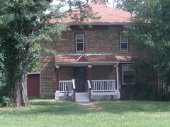
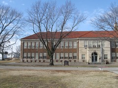
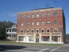
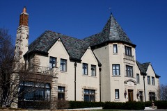
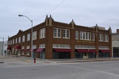
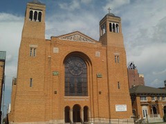
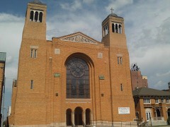
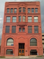
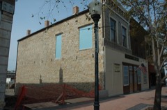
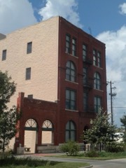
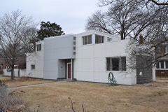
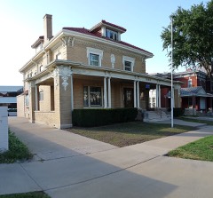
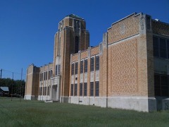
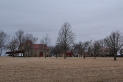
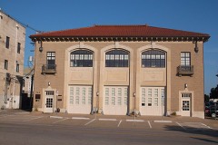
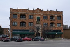
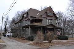
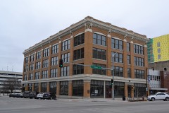
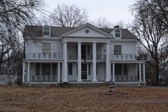
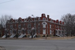
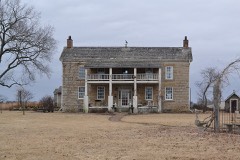
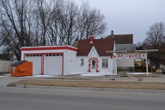
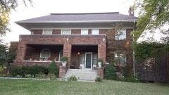
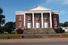
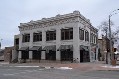
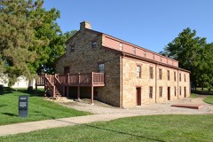
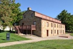
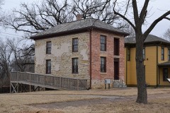
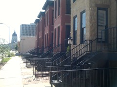
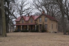
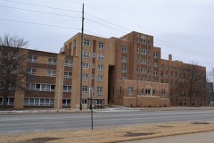
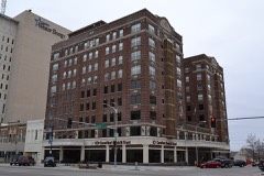
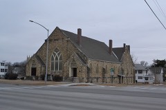
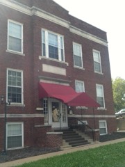
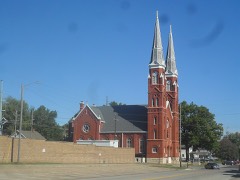
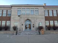
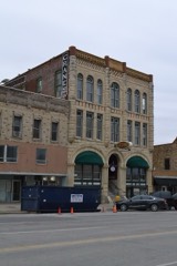
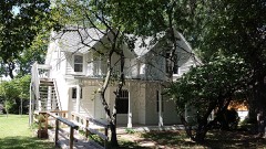
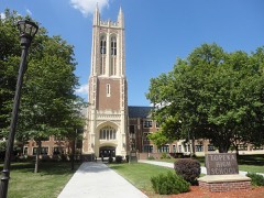
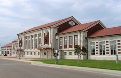
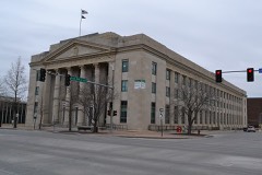
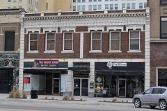
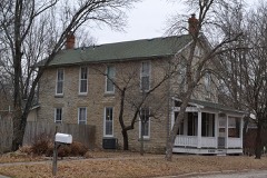
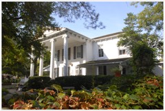
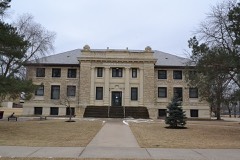
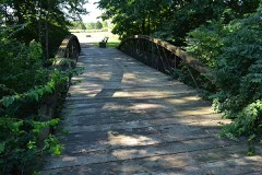
108 National Register listings published here, 1 of them a National Historic Landmark.
Sources: the National Register database, National Park Service
78 topographic sheets cover 26 settlements here, and 108 properties are on the National Register of Historic Places.
108 National Register listings published here, 1 of them a National Historic Landmark.
Sources: the National Register database, National Park Service
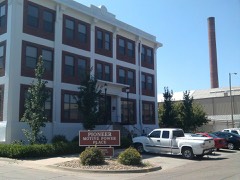
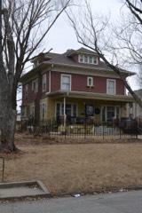
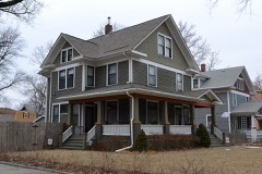
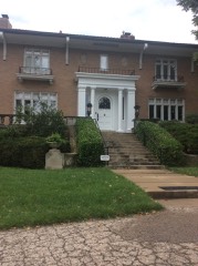
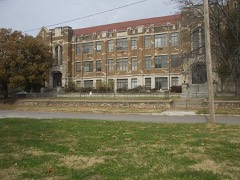
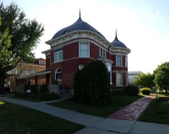
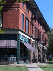
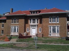
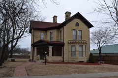
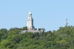
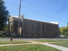
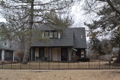
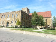
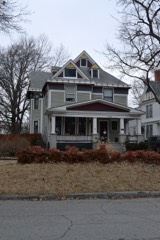
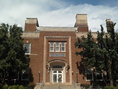
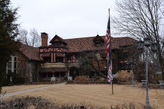
Every property in this county listed on the National Register of Historic Places, with the year it was listed and the federal nomination document.
Every wildfire the federal occurrence database records inside this county: 1,238 of them, burning about 9,885 acres. 5 started naturally and 188 were recorded as arson. Each settlement page carries the fires within five miles of it.
| Reported cause | Fires |
|---|---|
| Missing data/not specified/undetermined | 470 |
| Debris and open burning | 449 |
| Arson/incendiarism | 188 |
| Equipment and vehicle use | 40 |
| Smoking | 40 |
| Fireworks | 12 |
| Recreation and ceremony | 10 |
| Power generation/transmission/distribution | 10 |
| Misuse of fire by a minor | 8 |
| Other causes | 6 |
| Natural | 5 |
The five largest, by the area the report gives. Three of them were set deliberately.
| Date | Cause | Size | Reported by | Name on the report |
|---|---|---|---|---|
| 18 November 2020 | Missing data/not specified/undetermined | 3,000 acres | Shawnee County | BOURBONAIS CREEK |
| 3 March 2017 | Debris and open burning | 1,250 acres | Shawnee County | 27 |
| 12 March 2015 | Debris and open burning | 320 acres | Kansas Forest Service | 116 |
| 30 March 2018 | Debris and open burning | 200 acres | Kansas Forest Service | 356 |
| 6 March 2017 | Missing data/not specified/undetermined | 200 acres | Shawnee County | 47 |
| 16 April 2018 | Arson/incendiarism | 200 acres | Kansas Forest Service | 113 |
| 22 March 2015 | Arson/incendiarism | 140 acres | Kansas Forest Service | 251 |
| 8 February 2015 | Arson/incendiarism | 120 acres | Kansas Forest Service | 147 |
Every settlement page carries the fires within five miles of it - see the settlement index below.
The NOAA Storm Events Database holds 1,457 reports for this county, causing 19 deaths, 626 injuries and about $302,405,740 in recorded property damage. Each settlement page carries the reports that name it.
| Kind of event | Reports |
|---|---|
| Hail | 629 |
| Thunderstorm Wind | 625 |
| Flash Flood | 92 |
| Tornado | 51 |
| Lightning | 27 |
| Flood | 21 |
| Funnel Cloud | 9 |
| Heavy Rain | 2 |
| Wildfire | 1 |
The most serious of them, by death, then injury, then recorded damage. The accounts are quoted exactly as the forecast office filed them.
| When | Event | Place named | Harm | What the report says |
|---|---|---|---|---|
| June 1966 | Tornado (F5) | not stated | 16 killed, 450 hurt, $250,000,000 | no account filed |
| May 1960 | Tornado (F4) | not stated | 1 killed, 91 hurt, $2,500,000 | no account filed |
| May 1983 | Tornado (F3) | not stated | 1 killed, 25 hurt, $25,000,000 | no account filed |
| August 2007 | Lightning | Topeka | 1 killed, 1 hurt | A woman was struck by lightning near the 2700 block on SW Villa West Dr. in Topeka. She was originally taken to the hospital with life-threatening injuries, and later passed away as a reult of these injuries. A second man was struck by a lightning bolt in an open air garage next to his home. The bolt struck his house, traveled through a cord, and into the light the man was holding. He was knocked unconscious, needed to be recussitated, and ended up with injuries to his arm. |
| November 1988 | Tornado (F2) | not stated | 22 hurt, $2,500,000 | no account filed |
| July 1981 | Tornado (F2) | not stated | 9 hurt, $250,000 | no account filed |
| October 2005 | Flash Flood | Topeka | 6 hurt, $2,200,000 | Water rushing over the road as deep as mailboxes in the 3800 block of Tecumseh Rd. |
| April 1984 | Tornado (F2) | not stated | 4 hurt, $250,000 | no account filed |
| May 1962 | Tornado (F3) | not stated | 4 hurt, $250,000 | no account filed |
| February 1996 | Wildfire | Auburn | 3 hurt, $250,000 | no account filed |
| June 1990 | Thunderstorm Wind | not stated | 3 hurt | no account filed |
| March 1990 | Tornado (F1) | not stated | 1 hurt, $250,000 | no account filed |
| April 1979 | Tornado (F1) | not stated | 1 hurt, $250,000 | no account filed |
| August 2012 | Thunderstorm Wind | Pauline | 1 hurt, $100,000 | A significant downburst occurred near Forbes Field in South Topeka causing damage and power outages. The ASOS at Forbes Field measured a 79 mph wind gust while several residents and city officials also reported 70 to 80 mph winds. Several large trees were either uprooted or broken, and several street signs were damaged from this wind. The most significant damage occurred on US 75 where two tractor-trailers were overturned due to the high winds. Both big rigs struck other vehicles in the accident. One of the drivers of the two overturned trucks had to be extricated from the vehicle and sustained serious injuries. |
| June 2005 | Thunderstorm Wind | Topeka | 1 hurt, $5,000 | A fireworks tent was partially collapsed and a worker received minor injuries. Numerous fallen branches and debris were reported on a neighboring golf course where golf carts were also blown around. |
| May 2011 | Hail | (Top)Billard Arpt To | 1 hurt | Hail broke car windows at 6th and Croco Road. One injury was reported from the broken windows. |
| May 2008 | Lightning | Valencia | 1 hurt | A 15-year-old girl was struck by lightning when a bolt hit near her home, traveled through the steel plumbing, and into the shower nozzle. The girl was taking a shower at the time she was struck. A single indentation was evident on the girl's knee. |
| June 2008 | Lightning | Pauline | 1 hurt | A woman went out for a walk just before ten in the morning , right after the rain associated with severe thunderstorm ended. She stopped in her yard to pick a weed. Meanwhile, a lightning bolt struck the house across the street, and was felt by her. The bolt left a hole in the roof of the home, and blew several shingles onto the ground. The woman had an elevated blood pressure, and was taken to a local hospital. She was sore for several days after the strike. |
| June 1985 | Thunderstorm Wind | not stated | 1 hurt | no account filed |
| May 2007 | Flash Flood | Topeka | $3,400,000 | Shawnee county dispatch reported water rescues were being conducted along the Shunganunga Creek. Water entering residences south of Washburn University. Almost 500 water rescues were completed in the city of Topeka. |
| October 2005 | Flash Flood | Topeka | $2,050,000 | A spotter reported Halfday Creek was out of it's banks and water was rushing at least 6 inches deep over several roads including 50th St. |
| May 2007 | Flood | Wakarusa | $2,000,000 | Most homes in the town of Wakarusa inundated with flood waters from the Wakarusa River. Water rescues of 22 residents stranded on their rooftops were conducted by the fire department. The rescues were hampered by floating propane tanks. Numerous roads in the county were closed by flood waters. Topeka city schools and some surrounding schools canceled classes. 500 water rescues were made in Topeka...300 along the Shunganunga Creek alone. The Rossville nursing home evacuated it's residents as a caution of flooding due to Cross Creek. Lake Sherwood, southwest of Topeka, reported water three feet above the emergency spillway. Numerous county roads were closed due to the flooding. Lowland flooding continued in the vicinity of Topeka with moderate or greater flooding along the Kansas River. |
| April 2002 | Thunderstorm Wind | Topeka | $2,000,000 | A bow echo moved across Shawnee county and produced high winds in excess of 60 mph. The winds did extensive damage to many homes and businesses mainly in the northern half of Topeka. Preliminary damage estimates from officials in Shawnee county totaled 2 million dollars. |
| June 2004 | Thunderstorm Wind | Topeka | $1,000,000 | Strong winds moved across Topeka doing considerable damage. Numerous large tree branches were blown down. A K-DOT communications tower was blown down onto an apartment complex, but no injuries were reported. But significant damage was done to the apartment complex. Downed tree limbs damaged power lines and power transformers resulting in power outages to 26 thousand Topeka residents. On the outskirts of Topeka crops suffered considerable damage. Although 64 knots was officially measured at Topeka Billard Airport there were unofficial reports of much higher gusts across the city. It was the worst storm to hit Topeka in a number of years. |
| March 2002 | Thunderstorm Wind | Topeka | $1,000,000 | Strong downburst winds damaged 40 cars at a dealership in Topeka. Roof damage was also noted at the dealership salesroom. |
| May 2007 | Flash Flood | Auburn | $500,000 | Water flowing across Auburn Road from the town of Auburn to 61st Street. Debris is floating across the road. Many county roads flooded south of 61st street between Urish and Hoch roads. Water flowing over Northeast 64th and Meriden streets. Cars stalled on Topeka Blvd between 42nd and 45th streets. Shunganunga Creek out of its banks at Duncan Ct. and Gage near 25th Street. Six inches of water flowing over Kansas Ave. between 29th and 21st streets. |
| May 2004 | Hail | Topeka | $500,000 | Large hail damaged windows, roofs, and vehicles near Topeka. The hail also knocked holes in the vinyl siding of a house. This was the worst hailstorm to strike Shawnee county in a number of years. The number of roofs and windows damaged was numerous. |
| July 1994 | Thunderstorm Wind | Topeka | $500,000 | Winds hit 62 mph at the National Weather Service Office at Billard Airport, but were clocked at 83 mph at WIBW TV, near 6th and Wannamaker Road. The high winds caused widespread and severe damage to many trees, power lines and some buildings in the city of Topeka and surrounding area. An estimated 35,000 people were without electricity for 6 to 12 hours with some areas not restored for three to four days. Some roads were blocked by fallen trees and limbs. Utility repair crews were brought in from neighboring states to help repair the widespread damage. The wind, heavy rain and hail also severely damaged area crops. |
| July 1994 | Thunderstorm Wind | Dover | $500,000 | Winds clocked at 90 mph produced damage to trees, power lines and some buildings. |
| September 2005 | Flash Flood | Topeka | $400,000 | no account filed |
| June 2001 | Lightning | Topeka | $375,000 | Lightning struck a church and ignited a fire that totally destroyed the church. |
| August 2001 | Lightning | Auburn | $375,000 | Lightning struck a house and started a fire that destroyed the house. |
| June 2002 | Flash Flood | Topeka | $300,000 | Heavy rains from thunderstorms in the area produced flashflooding in Topeka for a time during the morning hours of the 4th. A number of intersections were flooded. Cars were abandoned at 39th and Atwood as water flowed by 2 to 3 feet deep. Cars were seen floating on the water at 16th and Tyler. Some basements were flooded in the southwest part of Topeka. |
| April 1991 | Tornado (F2) | not stated | $250,000 | no account filed |
| March 1991 | Tornado (F0) | not stated | $250,000 | no account filed |
| May 1980 | Tornado (F2) | not stated | $250,000 | no account filed |
| March 1974 | Tornado (F2) | not stated | $250,000 | no account filed |
| March 1974 | Tornado (F2) | not stated | $250,000 | no account filed |
| June 1967 | Tornado (F3) | not stated | $250,000 | no account filed |
| June 2005 | Flash Flood | Topeka | $200,000 | Six to 12 inches of water flowing over roads near intersection of I70 and I470 with some cars stalled or running through flowing water. |
| November 1998 | Flash Flood | Topeka | $200,000 | Heavy rains of late October continued into the first day or two of November and sent rivers and streams in east central Kansas out of their banks. Numerous roads and highways in the area were flooded and many were closed for a time. Many homes were severly damaged. The Neosho river at Emporia crested at 24.88 feet at 5am on the 2nd. This is the 8th highest crest on record of which the top 4 all occurred during the famous severe floods of Spring and Summer 1951. Flood stage is 19 feet. At Ottawa the Marias Des Cygnes River crested at 38.93 feet at 9pm of the 2nd. This crest was the third highest on record. The river remained in flood until late on the 4th. Flood stage is 31 feet. Runoff from the heavy rains sent John Redmond resevoir to the top of its dam. Water released from the resevoir kept the Neosho river downstream in flood for several days after most other rivers and streams had returned to their banks. Total property and crop damage was estimated near 10 million dollars. |
| June 2001 | Lightning | Tecumseh | $150,000 | Lightning struck a house and ignited a fire that did extensive damage to the structure. No one was injured. |
| May 2004 | Tornado (F1) | Topeka | $100,000 | A tornado touched down south of Topeka and moved to the eastnortheast for about a mile before lifting. A building and a shed were damaged. Power lines were downed and an unoccupied vehicle was rolled over. |
| August 2003 | Lightning | Topeka | $100,000 | Lightning struck the roof of a house and ignited a fire that did considerable damage to the structure and its contents. |
| May 1995 | Tornado (F0) | Silver Lake | $100,000 | A small weak tornado touched down briefly on the west side of Silver Lake, near the COOP business, damaging several buildings, a storage tank and a shed. |
| June 1998 | Hail | Topeka | $100,000 | no account filed |
| September 1998 | Lightning | Topeka | $90,000 | Lightning struck a house and started a fire which did about 90 thousand dollars damage. |
| August 2005 | Flash Flood | Topeka | $80,000 | Fast flowing water across several low lying streets in the city. |
| August 2001 | Lightning | Auburn | $75,000 | Lightning struck a house and started a fire that destroyed the house. |
| May 1996 | Flash Flood | Topeka | $75,000 | no account filed |
| August 2006 | Flash Flood | Topeka | $50,000 | Local law enforcement needed to barricade several streets due to high water. Flooded roads caused traffic to be diverted to alternate routes. |
| August 2006 | Flash Flood | Topeka | $50,000 | Rainfall of at least two inches in less than an hour produced flash flooding in parts of Topeka. Traffic was diverted and some vehicles were stranded. Even the westbound lane of Interstate 70 was flooded. However, no injuries were reported. The 24-hour rainfall total for the calendar day at Topeka was 2.50 inches, setting a new daily rainfall total record. |
| June 2002 | Lightning | Topeka | $50,000 | Lightning struck a grain elevator and started a fire that damaged a filtering system. |
| June 2002 | Lightning | Topeka | $50,000 | Lightning struck a house and started a fire that destroyed the house. |
| April 1994 | Thunderstorm Wind | Topeka | $50,000 | Winds clocked to 61 mph caused roof damage at a lumber yard in north Topeka. |
| June 1994 | Thunderstorm Wind | Topeka | $50,000 | Downburst winds moved through much of northeast Kansas including the Topeka vicinity producing windspread wind damage, downed trees, and power lines. Some winds were estimated at 80 mph. Power was not restored in some areas for nearly 24 hours. The hardest hit area was in North Topeka near Garfield park. Hail up to 1.5 inches accompanied the storm. |
| May 1996 | Flash Flood | Topeka | $50,000 | no account filed |
| August 2003 | Lightning | Topeka | $40,000 | Lightning struck a house and ignited a fire that did considerable damage to the structure and its contents. |
| September 1999 | Lightning | Silver Lake | $40,000 | Severe thunderstorms developed over east-central Kansas the evening of the 26th and produced several reports of large hail. Lightning also struck a house near Silver Lake and ignited a fire that destroyed the residence. |
| June 1999 | Flood | Topeka | $40,000 | One to 2 inches of rain in a short time period caused numerous reports of flooding in and around Topeka. Twenty cars in a used car lot were damaged or destroyed by the rushing water. A woman in her 60's was rescued after her car became stalled and flooded in southern Topeka. |
The Survey's mineral resources record lists 2 workings inside this county. All of them still produce. Each settlement page carries the workings within five miles of it.
| Commodity | Workings |
|---|---|
| Stone, Crushed/Broken | 1 |
| Sand and Gravel, Construction | 1 |
The least common of them first, because a county's hundredth gravel pit says nothing its first ten did not.
| Where | Site | Commodity | Status | Recorded |
|---|---|---|---|---|
| East Topeka Quarry & Mill | Stone, Crushed/Broken | Producer | ||
| Kansas Sand and Concrete Dredge | Sand and Gravel, Construction | Producer |
Named settlements recorded in the Geographic Names Information System, each with the topographic sheets covering it. Villages, hamlets and abandoned places alike. Each is shown with the nearest named watercourse or landform and the survey quadrangle it falls on.
Auburn township · 66402 · On North Branch Wakarusa River · Auburn quadrangle
17 sheets, 1889 to 1983
Rossville township · 66533 · Near Toad Hollow · Rossville quadrangle
19 sheets, 1889 to 1960
Silver Lake township · 66539 · On Ensign Creek · Silver Lake quadrangle
20 sheets, 1889 to 1983
Tecumseh township · 66542 · On Whetstone Creek · Grantville quadrangle
22 sheets, 1889 to 1983
Tecumseh township · 66542 · On Stinson Creek · Grantville quadrangle
22 sheets, 1889 to 1983
Williamsport township · 66546 · On Towhead Creek · Wakarusa quadrangle
18 sheets, 1889 to 1983