 Block
Lyle, Kansas
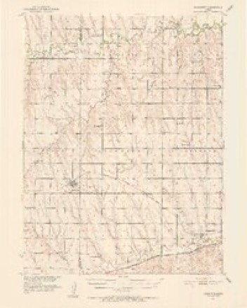
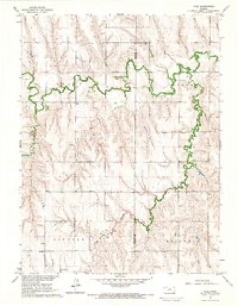
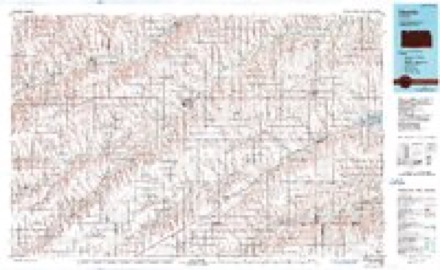
9 topographic sheets cover this place, the earliest surveyed in 1951 and the latest in 1985. It stands in Grant Township. It lies in ZIP code area 67653. It stands on Spring Branch. The Survey maps it on the Lyle quadrangle.
Topographic sheets covering this place
6 surveys from 9 printed sheetsMatched by testing this settlement's coordinate against the published boundary of every sheet in the United States Geological Survey's historical collection. Each opens the scanned sheet at the Survey.
- 1951 USGS Norcatur quadrangle1:62500, 2 printings
- 1954 USGS Goodland quadrangle1:250000
- 1956 USGS Goodland quadrangle1:250000
- 1957 USGS Goodland quadrangle1:250000, 2 printings
- 1965 USGS Lyle quadrangle1:24000
- 1985 USGS Oberlin quadrangle1:100000, 2 printings



Storms near this place
16 since 1996Regional context, not property-specific evidence. The National Weather Service names Lyle in 16 storm reports between 1996 and 2025: 9 hail, 4 thunderstorm wind, 1 funnel cloud, 1 flash flood. No death or injury is recorded in these reports. Each account below is quoted exactly as the forecast office filed it, from the NOAA Storm Events Database, and each date opens the federal record of that event.
| When | Event | Place named | Harm | What the report says |
|---|---|---|---|---|
| July 2018 | Thunderstorm Wind | Lyle | $30,000 | Major roof damage to machine shed, including part of the roof removed. Pea size hail also occurred with the wind. |
| August 2025 | Thunderstorm Wind | Lyle | $10,000 | Various damage associated with a wind gust from a decaying shower including a tree blown down, bent antenna tower and tree limb damage. Unknown on health or kind of tree and how large the tree limbs were. |
| June 2025 | Hail | Lyle | - | Public report of estimated nickel sized hail. |
| September 2023 | Hail | Lyle | - | Report via social media of baseball sized hail. |
| May 2022 | Tornado (EFU) | Lyle | - | Several reports of landspout tornadoes along the Kansas and Nebraska border. Based on the reports received, estimated locations of the reports, and an interpretation of WSR-88D radar imagery, it was determined that the reports were the result of one single landspout tornado in northeastern Decatur County. The tornado remained over open fields and no damage was report. |
| June 2022 | Thunderstorm Wind | Lyle | - | Reported via Huff Weather Station. |
| July 2018 | Flash Flood | Lyle | - | Pictures after sunrise showed flood damage to CR 308 a half mile west of CR 509, including limbs from the flood waters on the road. |
| June 2017 | Hail | Lyle | - | The ground was covered in penny size hail. |
| June 1998 | Funnel Cloud | Lyle | - | Brief funnel cloud reported by spotter. |
| June 1998 | Hail | Lyle | - | Also, nickel to quarter size hail reported 3 NE of Lyle at 1909 CST. |
| July 2022 | Thunderstorm Wind | Lyle | - | no account filed |
| June 2013 | Hail | Lyle | - | no account filed |
| August 2011 | Hail | Lyle | - | no account filed |
| June 2010 | Hail | Lyle | - | no account filed |
| April 1998 | Hail | Lyle | - | no account filed |
| July 1996 | Hail | Lyle | - | no account filed |
Nearest settlements
The eight closest, with where each one stands in the county. Distances are straight-line, computed from the Geographic Names Information System coordinates.
Provenance
This settlement is recorded in the Geographic Names Information System as feature 484540. The sheet list is computed by point-in-boundary test against the United States Geological Survey's historical topographic inventory. Both are works of the United States government and carry no copyright under 17 U.S.C. 105.
Storms. NOAA National Centers for Environmental Information, Storm Events Database https://www.ncei.noaa.gov/stormevents/ A work of the United States government, no copyright under 17 U.S.C. 105. Narratives are quoted verbatim from the National Weather Service report and are not edited or summarised.