 Block
Traer, Kansas
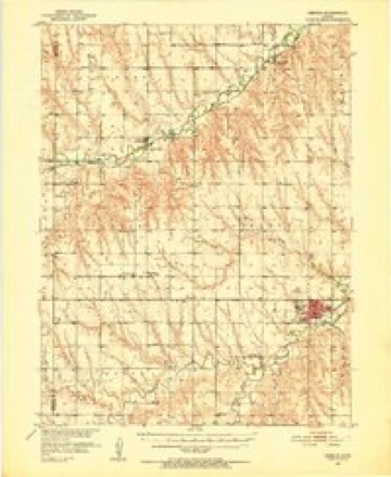
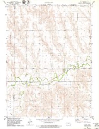
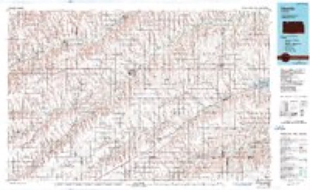
9 topographic sheets cover this place, the earliest surveyed in 1951 and the latest in 1985. It stands in Finley Township. It lies in ZIP code area 67749. The Survey maps it on the Traer quadrangle.
Topographic sheets covering this place
6 surveys from 9 printed sheetsMatched by testing this settlement's coordinate against the published boundary of every sheet in the United States Geological Survey's historical collection. Each opens the scanned sheet at the Survey.
- 1951 USGS Oberlin quadrangle1:62500, 2 printings
- 1954 USGS Goodland quadrangle1:250000
- 1956 USGS Goodland quadrangle1:250000
- 1957 USGS Goodland quadrangle1:250000, 2 printings
- 1978 USGS Traer quadrangle1:24000
- 1985 USGS Oberlin quadrangle1:100000, 2 printings



Storms near this place
31 since 1995Regional context, not property-specific evidence. The National Weather Service names Traer in 31 storm reports between 1995 and 2025: 19 hail, 12 thunderstorm wind. No death or injury is recorded in these reports. Each account below is quoted exactly as the forecast office filed it, from the NOAA Storm Events Database, and each date opens the federal record of that event.
| When | Event | Place named | Harm | What the report says |
|---|---|---|---|---|
| August 2019 | Thunderstorm Wind | Traer | $2,000 | A member of the public estimated 82 mph winds. They also reported that some windows were broken by wind-driven hail. |
| September 2005 | Hail | Traer | $750 | Broken windows...hail covering the ground..estimated wind gusts 50 mph. |
| May 2025 | Hail | Traer | - | Emergency Manager reported heavy rain and 1 inch hail. |
| June 2024 | Hail | Traer | - | Trained spotter reported pea to quarter sized hail that lasted approximately three minutes. |
| May 2023 | Hail | Traer | - | Hail stones slightly larger than an inch were reported. |
| August 2023 | Hail | Traer | - | Over an inch and a half of rain occurred with the hail. |
| April 2021 | Thunderstorm Wind | Traer | - | As an isolated thunderstorm moved east into Decatur County, a trained spotter measured a 68 mph wind gust with a Davis weather station. Key impacts: strong winds. |
| May 2021 | Hail | Traer | - | The hail ranged from penny to quarter in some with occasional golf balls. |
| May 2021 | Hail | Traer | - | The largest hailstone was just over an inch in diameter. |
| September 2016 | Hail | Traer | - | Also received 0.75 of rainfall with the hail. Estimated time of the report from radar. |
| June 2014 | Thunderstorm Wind | Traer | - | Reported by a Davis weather station. |
| August 2013 | Hail | Traer | - | Nickel to quarter sized hail was reported to be covering the ground. |
| July 2011 | Thunderstorm Wind | Traer | - | Trained spotter reported a measured wind gust of 72 mph. |
| July 2011 | Thunderstorm Wind | Traer | - | Trained spotter reported a measured wind gust of 88 mph. |
| May 2007 | Hail | Traer | - | Estimated 45 mph winds were also reported. |
| June 2025 | Thunderstorm Wind | Traer | - | no account filed |
| May 2021 | Hail | Traer | - | no account filed |
| August 2019 | Hail | Traer | - | no account filed |
| September 2016 | Hail | Traer | - | no account filed |
| May 2016 | Thunderstorm Wind | Traer | - | no account filed |
| July 2011 | Hail | Traer | - | no account filed |
| August 2011 | Hail | Traer | - | no account filed |
| July 2011 | Thunderstorm Wind | Traer | - | no account filed |
| May 2010 | Thunderstorm Wind | Traer | - | no account filed |
| May 2010 | Hail | Traer | - | no account filed |
| July 2009 | Thunderstorm Wind | Traer | - | no account filed |
| May 2005 | Thunderstorm Wind | Traer | - | no account filed |
| June 2005 | Hail | Traer | - | no account filed |
| September 2005 | Thunderstorm Wind | Traer | - | no account filed |
| September 2005 | Hail | Traer | - | no account filed |
| September 1995 | Hail | Traer | - | no account filed |
Nearest settlements
The eight closest, with where each one stands in the county. Distances are straight-line, computed from the Geographic Names Information System coordinates.
Provenance
This settlement is recorded in the Geographic Names Information System as feature 470922. The sheet list is computed by point-in-boundary test against the United States Geological Survey's historical topographic inventory. Both are works of the United States government and carry no copyright under 17 U.S.C. 105.
Storms. NOAA National Centers for Environmental Information, Storm Events Database https://www.ncei.noaa.gov/stormevents/ A work of the United States government, no copyright under 17 U.S.C. 105. Narratives are quoted verbatim from the National Weather Service report and are not edited or summarised.