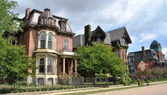
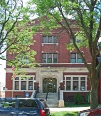
Block
From the record
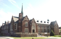
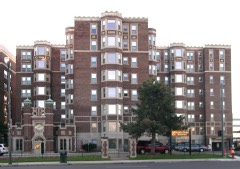
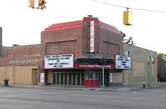
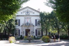
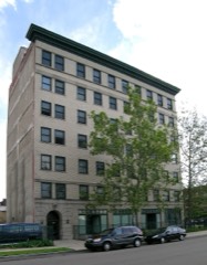
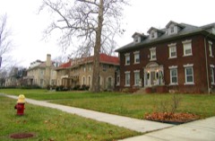
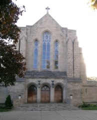
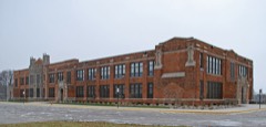
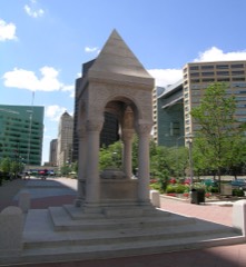
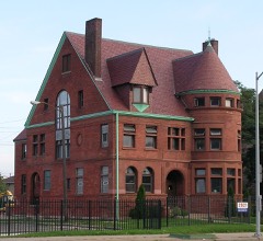
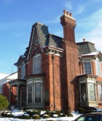
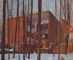
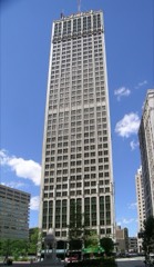
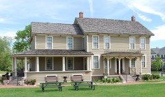
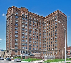
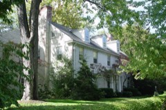
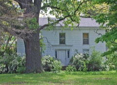
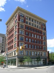
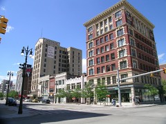
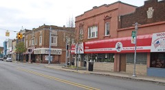
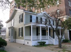
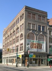
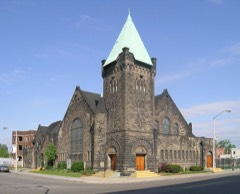
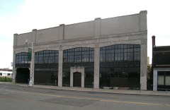
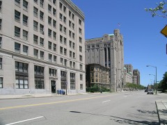
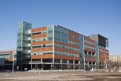
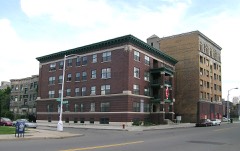
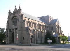
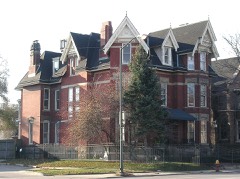
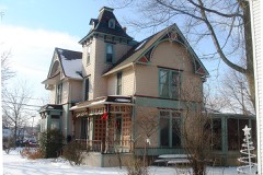
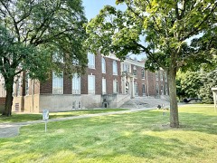
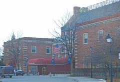
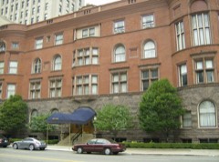
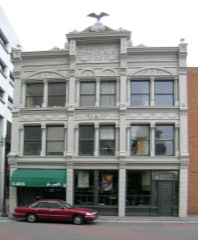
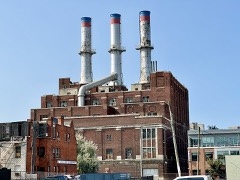
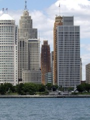
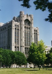
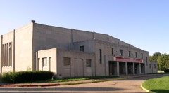
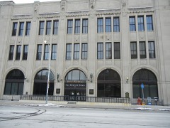
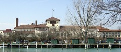
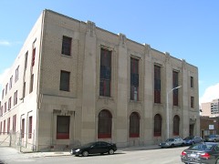
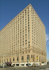
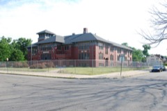
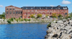
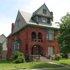
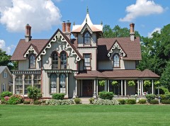
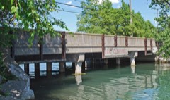
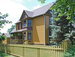
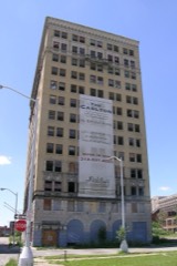
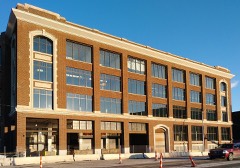
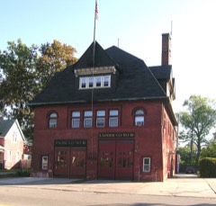
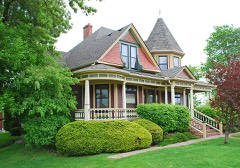
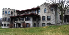
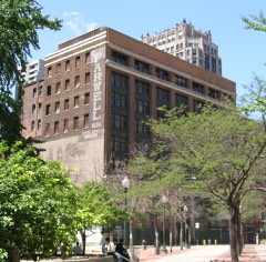
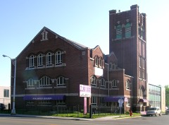
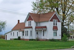
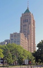
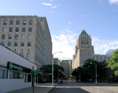
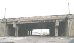
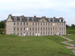
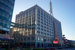
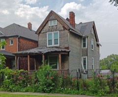
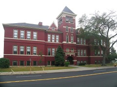
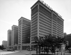
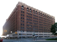
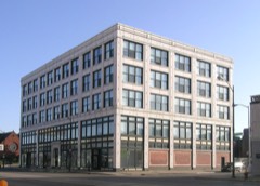
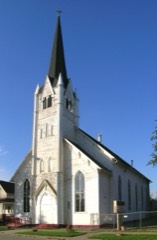
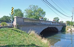
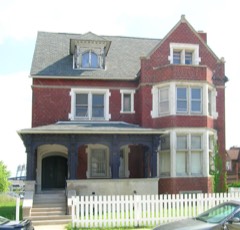
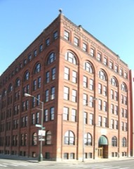
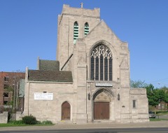
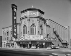
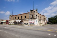
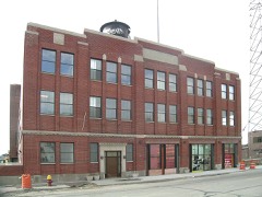
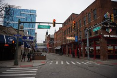
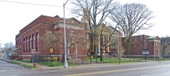
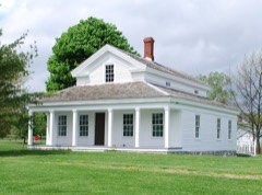
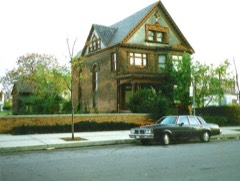
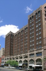
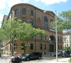
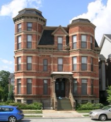
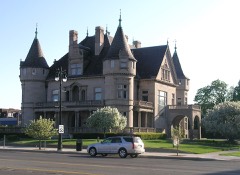
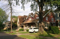
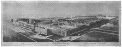
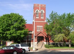
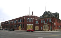
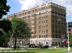
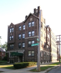
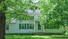
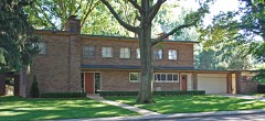
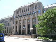
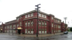
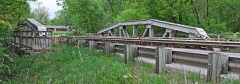
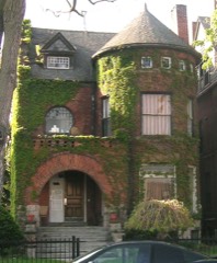
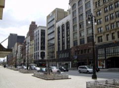
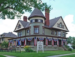
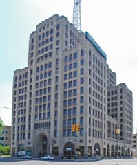
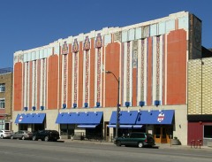
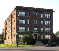
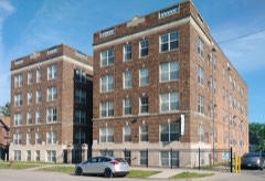
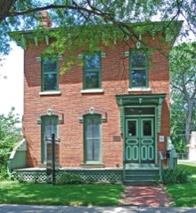
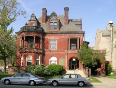
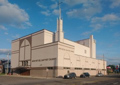
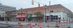
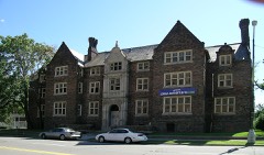
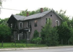
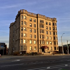
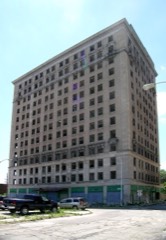
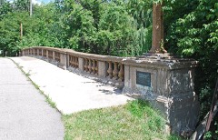
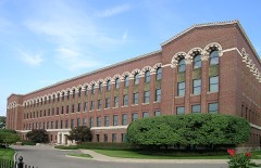
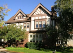
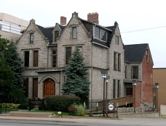
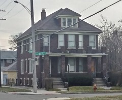
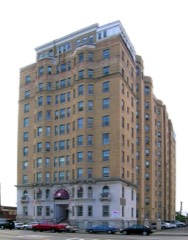
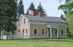
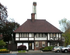
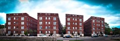
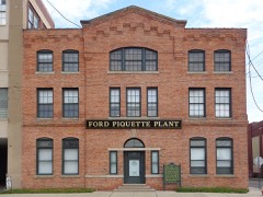
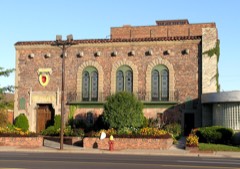
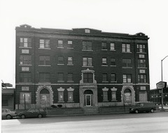
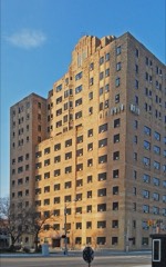
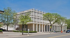
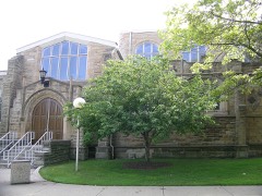
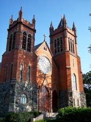
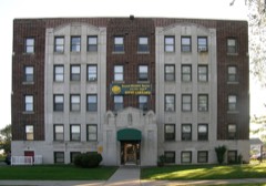
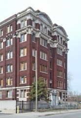
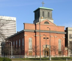
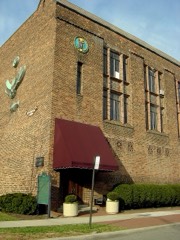
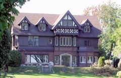
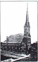
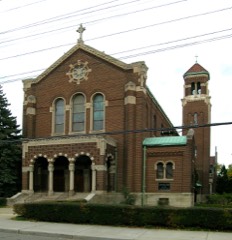
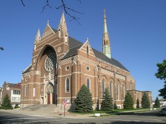
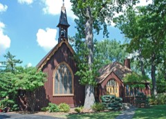
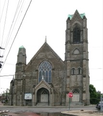
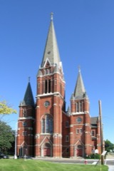
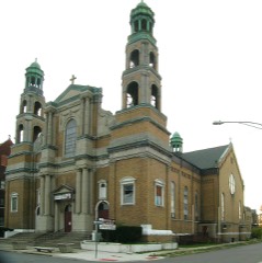
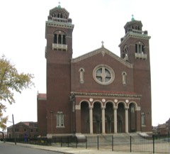
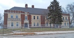
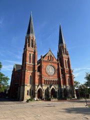
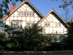
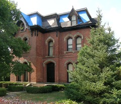
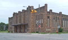
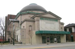
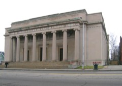
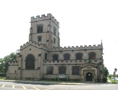
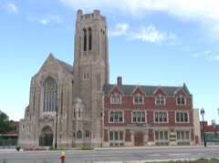
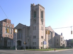
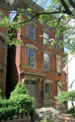
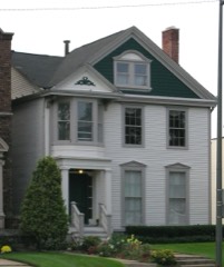
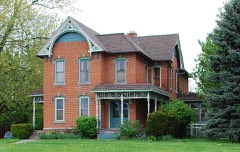
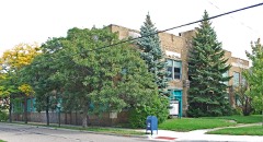
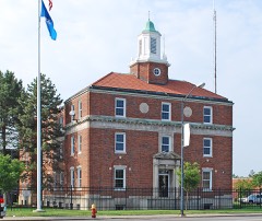
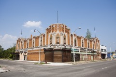
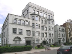
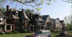
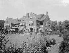
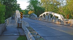
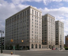
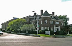
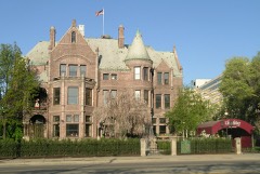
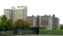
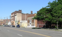
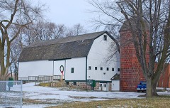
396 National Register listings published here, 15 of them National Historic Landmarks.
Sources: the National Register database, National Park Service
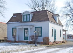
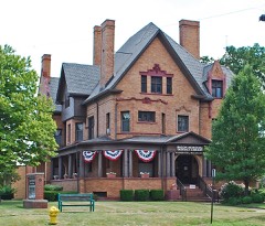
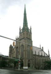
200 topographic sheets cover 69 settlements here, and 396 properties are on the National Register of Historic Places.
396 National Register listings published here, 15 of them National Historic Landmarks.
Sources: the National Register database, National Park Service
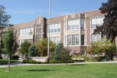
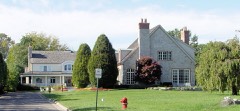
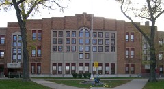
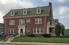
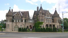
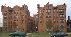
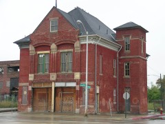
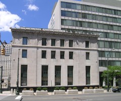
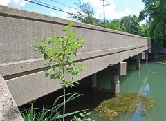
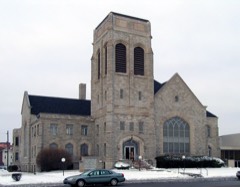
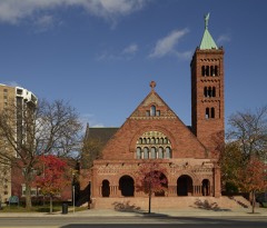
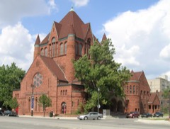
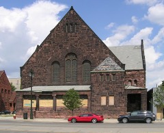
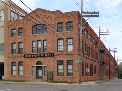
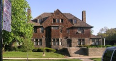
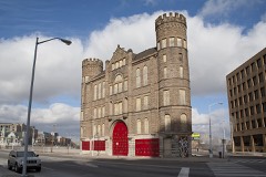
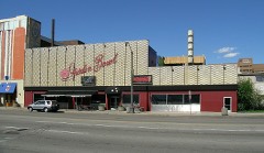
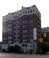
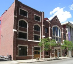
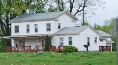
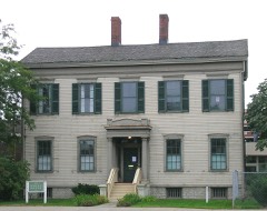
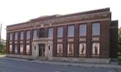
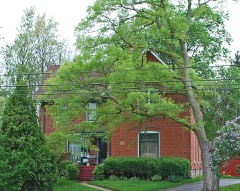
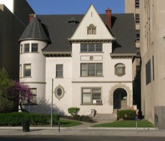
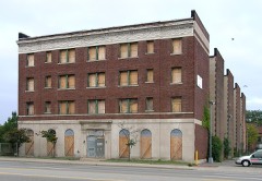
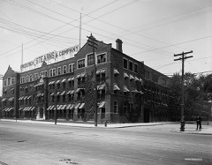
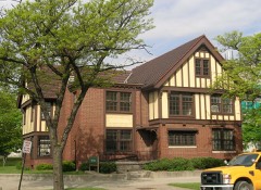
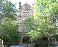
Every property in this county listed on the National Register of Historic Places, with the year it was listed and the federal nomination document.
Every wildfire the federal occurrence database records inside this county: 554 of them, burning about 598 acres. 76 started naturally and 1 was recorded as arson. Each settlement page carries the fires within five miles of it.
| Reported cause | Fires |
|---|---|
| Equipment and vehicle use | 176 |
| Debris and open burning | 152 |
| Missing data/not specified/undetermined | 116 |
| Natural | 76 |
| Recreation and ceremony | 24 |
| Smoking | 9 |
| Arson/incendiarism | 1 |
The five largest, by the area the report gives. One of them was set deliberately.
| Date | Cause | Size | Reported by | Name on the report |
|---|---|---|---|---|
| 31 March 2010 | Arson/incendiarism | 42 acres | Michigan Department of Natural Resources | WAYNE 01 |
| 13 April 2019 | Missing data/not specified/undetermined | 5.0 acres | Michigan Department of Natural Resources | TAYLOR FD 0002663 - 2019 |
| 4 May 2020 | Missing data/not specified/undetermined | 3.0 acres | Michigan Department of Natural Resources | SUMPTER TOWNSHIP FD 287 - 2020 |
| 2 April 2019 | Equipment and vehicle use | 3.0 acres | Michigan Department of Natural Resources | DEARBORN FD 0003846 - 2019 |
| 8 March 2020 | Equipment and vehicle use | 2.0 acres | Michigan Department of Natural Resources | SUMPTER TOWNSHIP FD 143 - 2020 |
| 17 March 2018 | Equipment and vehicle use | 2.0 acres | Michigan Department of Natural Resources | SUMPTER TOWNSHIP FD 167 - 2018 |
| 23 March 2019 | Equipment and vehicle use | 2.0 acres | Michigan Department of Natural Resources | ALLEN PARK FD 0000804 - 2019 |
| 29 April 2018 | Missing data/not specified/undetermined | 1.0 acres | Michigan Department of Natural Resources | ROCKWOOD FD 0000146 - 2018 |
Every settlement page carries the fires within five miles of it - see the settlement index below.
The NOAA Storm Events Database holds 920 reports for this county, causing 14 deaths, 244 injuries and about $1,507,084,530 in recorded property damage. Each settlement page carries the reports that name it.
| Kind of event | Reports |
|---|---|
| Thunderstorm Wind | 578 |
| Hail | 219 |
| Tornado | 42 |
| Flash Flood | 35 |
| Flood | 24 |
| Lightning | 21 |
| Heavy Rain | 1 |
The most serious of them, by death, then injury, then recorded damage. The accounts are quoted exactly as the forecast office filed them.
| When | Event | Place named | Harm | What the report says |
|---|---|---|---|---|
| July 1997 | Thunderstorm Wind | Grosse Pt Farms | 5 killed, 8 hurt, $10,000,000 | no account filed |
| July 1998 | Thunderstorm Wind | Flat Rock | 2 killed, 2 hurt, $825,000 | no account filed |
| November 1957 | Tornado (F3) | not stated | 1 killed, 12 hurt, $250,000 | no account filed |
| June 2024 | Tornado (EF1) | Plymouth | 1 killed, 2 hurt | The tornado touched down just east of the intersection of Schoolcraft Rd and Eckles Rd and traveled northeast into Mason Rd, just north of I-96. The tornado continued into the intersection of Nola Rd and Lyndon Rd, uprooting large trees, snapping off large tree limbs, and producing some damage to residential housing. The tornado then traveled across Newburgh Rd into Levan Rd near the 5-mile intersection, close to the intersection of Ellen Dr. and 5-mile, where mainly tree damage was found. The tornado continued to travel northeast into Farmington and 6-mile, uprooting trees around this location. The tornado continued through Rotary Park where large trees and tree limbs were sheared off, and then moved into Beverly Park, where the damage was mainly sporadic downed tree limbs. The tornado lifted just southwest of 7 mile and Middlebelt Rd. Maximum wind speeds with this tornado were estimated to be up to 95 mph. |
| July 2006 | Lightning | Highland Park | 1 killed, 1 hurt | A couple was struck by lightning after taking shelter from the rain under a tree at 2301 EST in Krainz Park near East Hildale and Justine on Detroit's east side. The pair was taken to Detroit Receiving Hospital, where the 44 year old woman was later pronounced dead. The 2nd person, a 46 year old male, survived but was initially in temporary serious condition at the hospital. |
| July 2011 | Thunderstorm Wind | Highland Park | 1 killed | A man was killed due to a fallen wire. |
| June 2007 | Lightning | Detroit | 1 killed | A golfer was struck and killed by lightning after seeking refuge under a tree at the Rogell Golf Course near 7 Mile and Lahser Roads. |
| June 1998 | Lightning | Detroit | 1 killed | no account filed |
| June 1987 | Thunderstorm Wind | not stated | 1 killed | no account filed |
| July 1997 | Tornado (F2) | Highland Park | 90 hurt, $90,000,000 | no account filed |
| July 1969 | Tornado (F3) | not stated | 50 hurt, $2,500,000 | no account filed |
| May 1956 | Tornado (F4) | not stated | 22 hurt, $250,000 | no account filed |
| September 2011 | Thunderstorm Wind | Southgate | 10 hurt, $10,000 | Wind damage reported to structures at the River Rouge Days Festival, minor injuries occurred. Multiple trees and festival tents blown down. |
| May 2000 | Lightning | Detroit Metro Arpt | 9 hurt | no account filed |
| September 2014 | Thunderstorm Wind | Westland | 5 hurt | An event tent fell over and injured 5 people. |
| April 1992 | Tornado (F2) | not stated | 4 hurt, $2,500,000 | no account filed |
| August 1984 | Tornado (F2) | not stated | 4 hurt, $2,500,000 | no account filed |
| May 2000 | Thunderstorm Wind | Allen Park | 3 hurt, $755,000 | no account filed |
| May 2000 | Lightning | Northville | 3 hurt | no account filed |
| August 1986 | Tornado (F1) | not stated | 3 hurt | no account filed |
| May 2019 | Thunderstorm Wind | West Sumpter | 2 hurt | Two minor injuries reported at the Sumpter Country Festival, as the inflatable bouncy houses broke loose and went airborne. |
| May 2004 | Thunderstorm Wind | Detroit Metro Arpt | 2 hurt | A wall was blown down in a construction area in the Detroit Metro terminal, injuring 2 people. |
| June 1998 | Lightning | Taylor | 2 hurt | no account filed |
| August 1989 | Thunderstorm Wind | not stated | 2 hurt | no account filed |
| April 1968 | Tornado (F0) | not stated | 1 hurt, $25,000 | no account filed |
| June 2005 | Thunderstorm Wind | Woodhaven | 1 hurt, $10,000 | Trees were reported blown down, with damage to Florida Sun room. |
| August 2024 | Thunderstorm Wind | Plymouth Arpt | 1 hurt | A tree crashed into a manufactured home causing one injury while the person was sleeping. A tree also fell onto a vehicle causing significant damage. |
| September 2013 | Thunderstorm Wind | (Det)Detroit City Ar | 1 hurt | Trees were reported blown down, one of which fell onto a woman who broke her leg. |
| July 2005 | Lightning | Westland | 1 hurt | A Westland teenager was injured when lightning struck a tree he was standing under. The boy received first and second degree burns on his body. |
| July 1999 | Lightning | Lincoln Park | 1 hurt | As a woman walked by a window in her home, lightning apparently struck just outside. The woman was briefly knocked unconscious. |
| May 2000 | Lightning | Dearborn Hgts | 1 hurt | no account filed |
| June 1989 | Thunderstorm Wind | not stated | 1 hurt | no account filed |
| August 2014 | Flash Flood | East Rockwood | $1,100,000,000 | no account filed |
| June 2021 | Flash Flood | Northville | $139,000,000 | Numerous roads and highways became impassable due to flooding. Four to eight inches of rainfall was reported in and around downtown Detroit, with Grosse Pointe Park reporting the highest total of 8.19 inches. Almost 15,000 homes suffered major flood damage, with close to 6000 homes experiencing minor flood damage across the northern part of county. |
| May 2019 | Flash Flood | Lincoln Park | $64,000,000 | no account filed |
| July 1980 | Tornado (F2) | not stated | $25,000,000 | no account filed |
| September 2000 | Flash Flood | Belleville | $20,000,000 | Widespread, severe urban flooding resulted in a Presidential Disaster Declaration for Wayne County. The communities most severely affected included Allen Park, Dearborn, Dearborn Heights, Ecorse, Lincoln Park, Melvindale, Riverview, Southgate, Taylor, Van Buren Township, Wyandotte, and Wayne. Over 15,000 residences and other structures in Wayne County suffered at least some flood damage. Individual communities tallies included: 2700 homes in Allen Park, at least 500 in Lincoln Park, 2200 in Southgate, and 8000 in Wyandotte. In Allen Park, an estimated 40% of all streets flooded at some point during the event. Underpasses flooded in Dearborn and Dearborn, and street flooding was widespread, especially near Ecorse Creek. The Southfield Freeway were covered with two to three feet of water. In Detroit, the failure of a pumping system caused the Lodge Freeway to flood with two to three feet of water. The basement of city hall was damaged by flood waters in Lincoln Park, and street flooding was also widespread. In Riverview, street flooding was again widespread, with water approaching the doorsteps of some homes. A home in Riverview had its basement collapse. The Romulus area saws numerous roads flood, especially around Detroit Metropolitan Airport; numerous motorists had to be rescued from their stalled and stranded vehicles between 6 and 8 pm. Three feet of water covered Fort Street in Wyandotte. The Governor of Michigan estimated $19 million in personal property damage in Wayne County, but said that estimate was "conservative". |
| July 1998 | Thunderstorm Wind | Redford | $18,000,000 | no account filed |
| May 2000 | Thunderstorm Wind | Belleville | $6,070,000 | no account filed |
| July 1998 | Thunderstorm Wind | Taylor | $4,500,000 | no account filed |
| July 1998 | Thunderstorm Wind | Plymouth | $3,250,000 | no account filed |
| August 2023 | Flood | Northville | $3,000,000 | Flood waters from the flash flooding slowly receded. |
| November 2019 | Flood | East Rockwood | $2,500,000 | no account filed |
| July 1997 | Thunderstorm Wind | Livonia | $2,000,000 | no account filed |
| September 2016 | Flash Flood | Grosse Pt Farms | $1,000,000 | no account filed |
| March 1998 | Thunderstorm Wind | Livonia | $550,000 | no account filed |
| September 2018 | Tornado (EF1) | Gibraltar | $500,000 | An EF1 tornado began just to the west of W Jefferson Ave and south of Gibraltar Road. The tornado remained at EF1 strength up to the Navarre Street and Young Drive area, before weakening to EF0 strength for the remainder of the path. The tornado then crossed the Detroit River before dissipating at the north end of Elba Island in Grosse Ile Township. Damage included multiple large limbs and trees downed, a roof partially blown off and power lines downed. |
| December 2015 | Tornado (EF1) | Mettetal Arpt | $500,000 | An NWS damage survey determined that a tornado touched down in a neighborhood just southwest of the intersection of Warren and North Lilley Roads in Canton. Several pine trees were knocked down along with other large tree limbs. EF-1 damage was then found at a light industrial complex on the southwest side of the Canton Airport where multiple buildings and vehicles were damaged. Additional EF-0 damage was found near the intersection of Joy and Haggerty roads were a metal roof was taken off a gas station and more trees were damaged. The tornado then lifted near Haggerty Road and Newport Drive. |
| June 2010 | Tornado (EF1) | Willow | $500,000 | A tornado touched down just southeast of Clark and Willow roads. |EF1 damage with winds estimated up to 105 mph were noted along Waltz road and just to the east. Damage included multiple homes with roof damage and two destroyed garages. The tornado ended just east of Rust rd. |The total path length was 1.4 miles from southwest to northeast. |The tornado was 200 yards wide where the EF1 damage occurred. |
| August 1998 | Flash Flood | Northville | $500,000 | no account filed |
| December 1998 | Thunderstorm Wind | Willow Run Arpt | $365,000 | no account filed |
| September 2008 | Flood | Northville | $350,000 | no account filed |
| August 2015 | Lightning | Cherry Hill | $300,000 | no account filed |
| July 2019 | Flash Flood | Cherry Hill | $250,000 | A quick 2 to 4 inches of rain fell causing flash flooding. |
| August 2009 | Thunderstorm Wind | Grosse Ile Nas | $250,000 | A couple dozen trees were blown down, some of which landed on a few homes. |
| September 2008 | Tornado (EF2) | Plymouth | $250,000 | At 918 PM Saturday September 13th a tornado occurred in parts of Plymouth and Livonia in Wayne County. The Tornado path length was 2.6 miles and began just west of Starkweather Street near the railroad tracks in Plymouth and tracked eastward across the intersection of Interstates 96 and 275 and ended in Livonia at the intersection of Newburgh and Richfield Roads near Ladywood High School. The maximum path width of the tornado was roughly 200 yards in Plymouth and was 100 yards or less in most other locations along its path. Most of the damage along the path was to trees and was rated mostly at the EF0 level (less than 86 MPH). However, a short stretch of significant roof damage occurred in Plymouth to two apartment buildings in Lake Pointe Village and Brougham Manor. This damage was rated at the EF2 level, or roughly winds to 120 mph. |
| August 2003 | Lightning | Belleville | $250,000 | Lightning struck Trojan Cleaners on Main Street. The building caught fire and burned to the ground. |
| July 1998 | Thunderstorm Wind | Harper Woods | $250,000 | no account filed |
| April 1980 | Tornado (F1) | not stated | $250,000 | no account filed |
| July 1974 | Tornado (F2) | not stated | $250,000 | no account filed |
The Survey's mineral resources record lists 27 workings inside this county. 19 still produce and 8 are closed or unrecorded. Each settlement page carries the workings within five miles of it.
| Commodity | Workings |
|---|---|
| Sand and Gravel, Construction | 6 |
| Clay | 5 |
| Stone, Crushed/Broken | 3 |
| Calcium | 2 |
| Iron | 2 |
| Limestone, General | 1 |
| Vermiculite | 1 |
| Fire Clay (Refractory) | 1 |
| Stone | 1 |
| Salt | 1 |
| Aluminum | 1 |
| Graphite | 1 |
| Halite | 1 |
| Silica | 1 |
The least common of them first, because a county's hundredth gravel pit says nothing its first ten did not.
| Where | Site | Commodity | Status | Recorded |
|---|---|---|---|---|
| Beardsley Bros.Clay Pit | Fire Clay (Refractory) | Past Producer | ||
| Cummings-Moore Graphite | Graphite | Producer | ||
| Detroit Mine | Salt | Producer | ||
| Detroit Salt Mine | Halite | Producer | 1895, 1910 | |
| Rockwood Plant | Silica | Producer | Sedimentary | |
| Sibley Quarry Rockwood Quarry | Limestone, General | Producer | ||
| Stroble Primary Aluminum Plant | Aluminum | Past Producer | ||
| Wr Grace Zonolite Div | Vermiculite | Producer | ||
| Wyandotte Cement Plt. | Stone | Producer | ||
| Detroit Lime Co Calcining Plant | Calcium | Producer | ||
| Mclouth Steel Gibralter Roll'G Mill | Iron | Producer | ||
| Mclouth Steel Trenton Rolling Mill | Iron | Producer | ||
| River Rouge Limekiln | Calcium | Producer | ||
| Rockwood Quarry and Mill | Stone, Crushed/Broken | Producer | ||
| Sibley Quarry | Stone, Crushed/Broken | Producer | ||
| Sibley Quarry and Mill | Stone, Crushed/Broken | Past Producer | ||
| Bunte Bros Tile Co.Clay Pit | Clay | Past Producer | ||
| Clippert Brick and Tile Co. Pit | Clay | Past Producer | ||
| Ford Clay Pit | Clay | Producer | ||
| Ford Clay Pit and Mine | Clay | Past Producer | ||
| Lightweight Aggregate Corp Pit | Clay | Past Producer | ||
| Cadillac Sands Pit and Mill | Sand and Gravel, Construction | Producer | ||
| Hayes Washed S & G, Inc. Pit | Sand and Gravel, Construction | Past Producer | ||
| Mijal Pit | Sand and Gravel, Construction | Producer | ||
| Ottawa Silica Quarry & Mill | Sand and Gravel, Construction | Producer | ||
| Redman Pit and Mill | Sand and Gravel, Construction | Producer | ||
| Thomson Pit and Mill | Sand and Gravel, Construction | Producer |
Named settlements recorded in the Geographic Names Information System, each with the topographic sheets covering it. Villages, hamlets and abandoned places alike. Each is shown with the nearest named watercourse or landform and the survey quadrangle it falls on.
Redford Charter Township · 48239 · On Bell Branch · Redford quadrangle
20 sheets, 1905 to 1989
Belleville city · 48111 · On Throop Number Two Drain · Belleville quadrangle
19 sheets, 1906 to 1989
Brownstown Charter Township · 48173 · Near Edmond Island · Rockwood quadrangle
18 sheets, 1906 to 1989
Detroit city · 48214 · On Conners Creek · Belle Isle quadrangle
16 sheets, 1905 to 1985
Dearborn Heights city · 48127 · On Middle River Rouge · Inkster quadrangle
20 sheets, 1905 to 1996
Van Buren Charter Township · 48111 · On Apple Run · Denton quadrangle
24 sheets, 1902 to 1989
Brownstown Charter Township · 48173 · On Morrison Drain · Rockwood quadrangle
18 sheets, 1906 to 1989
Van Buren Charter Township · 48111 · On Throop Number Two Drain · Ypsilanti East quadrangle
20 sheets, 1902 to 1996
Flat Rock city · 48134 · On Wagner and Pink Drain · Flat Rock quadrangle
16 sheets, 1906 to 1989
Van Buren Charter Township · 48111 · On McBride Drain · Belleville quadrangle
19 sheets, 1906 to 1989
Gibraltar city · 48173 · On Number Two Drain · Rockwood quadrangle
18 sheets, 1906 to 1989
Northville township · 48167 · On Johnson Drain · Northville quadrangle
20 sheets, 1905 to 1989
Dearborn city · 48124 · On Lower River Rouge · Dearborn quadrangle
20 sheets, 1905 to 1989
Grosse Ile township · 48138 · Near Stony Island · Wyandotte quadrangle
19 sheets, 1906 to 1989
Grosse Pointe Farms city · 48236 · Grosse Pointe quadrangle
19 sheets, 1905 to 1985
Grosse Pointe Park city · 48230 · On Fox Creek · Grosse Pointe quadrangle
19 sheets, 1905 to 1985
Village of Grosse Pointe Shores city · 48236 · Grosse Pointe quadrangle
19 sheets, 1905 to 1985
Grosse Pointe Woods city · 48236 · Grosse Pointe quadrangle
19 sheets, 1905 to 1985
Lincoln Park city · 48146 · On South Branch Ecorse River · Dearborn quadrangle
20 sheets, 1905 to 1989
Brownstown Charter Township · 48173 · Near Sturgeon Bar · Rockwood quadrangle
18 sheets, 1906 to 1989
Sumpter township · 48111 · On Randell Drain · Belleville quadrangle
19 sheets, 1906 to 1989
Brownstown Charter Township · 48173 · On Silver Creek · Rockwood quadrangle
18 sheets, 1906 to 1989
Huron Charter Township · 48164 · On Hosmer Drain · Belleville quadrangle
19 sheets, 1906 to 1989
Northville city · 48167 · On Johnson Drain · Northville quadrangle
20 sheets, 1905 to 1989
Plymouth city · 48170 · On South Branch Tonquish Creek · Wayne quadrangle
20 sheets, 1905 to 1989
Redford Charter Township · 48239 · On Bell Branch · Redford quadrangle
20 sheets, 1905 to 1989
River Rouge city · 48218 · Near Zug Island · Dearborn quadrangle
20 sheets, 1905 to 1989
Riverview city · 48193 · On Huntington Creek · Wyandotte quadrangle
19 sheets, 1906 to 1989
Van Buren Charter Township · 48111 · On Head Drain · Belleville quadrangle
19 sheets, 1906 to 1989
Southgate city · 48195 · On Sexton and Kilfoil Drain · Wyandotte quadrangle
19 sheets, 1906 to 1989
Huron Charter Township · 48164 · On Martin Drain · Carleton quadrangle
17 sheets, 1906 to 1989
Sumpter township · 48111 · On Winters Drain · Maybee quadrangle
17 sheets, 1902 to 1989
Huron Charter Township · 48164 · On Martin Drain · Carleton quadrangle
17 sheets, 1906 to 1989
Wyandotte city · 48192 · Near Grassy Island · Wyandotte quadrangle
19 sheets, 1906 to 1989