 Block
Champlin, Minnesota
19 topographic sheets cover this place, the earliest surveyed in 1902 and the latest in 1991. It stands in Champlin City. It lies in ZIP code area 55316. It stands on Elm Creek. The Survey maps it on the Anoka quadrangle. 23,919 people lived here at the 2020 count. It stands 853 feet above sea level.
Population over time
2 figuresChamplin grew from 23,089 to 23,919 between 2010 and 2020. These are the recorded population figures Wikidata holds for this place, reached through the Geographic Names Information System number this page is keyed on rather than by name, so they belong to this place and not to another of the same name. Most are census counts, but not all are: an early figure may be a founding or settlement estimate, and an estimate published within five years of a census is left out. The change column is computed, and is left blank where more than 20 years separate a figure from the one before it, because a gap that long is not a change between two counts.
| Year | People | Change |
|---|---|---|
| 2010 | 23,089 | |
| 2020 | 23,919 | +830 (+4%) |
Topographic sheets covering this place
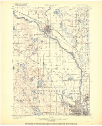
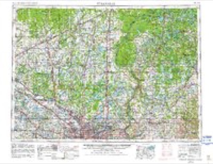
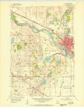
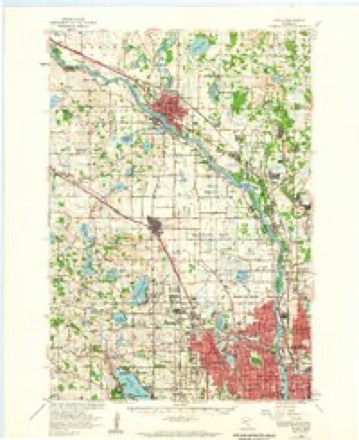
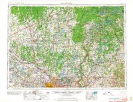
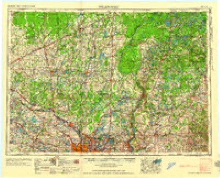
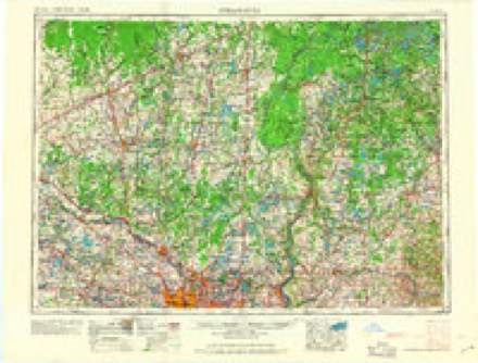
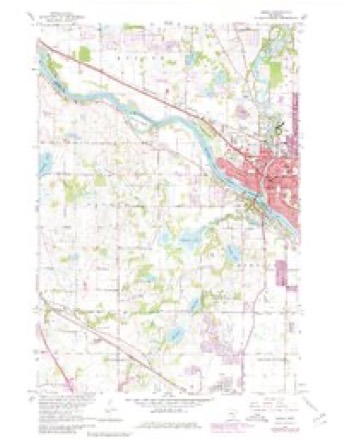
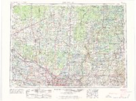
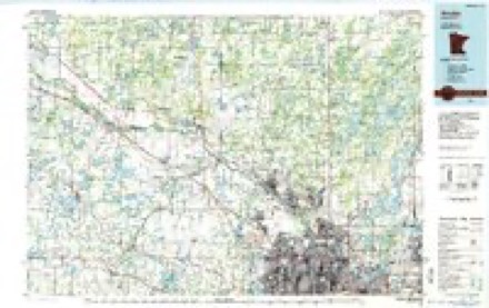
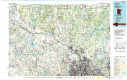
11 surveys from 19 printed sheetsMatched by testing this settlement's coordinate against the published boundary of every sheet in the United States Geological Survey's historical collection. Each opens the scanned sheet at the Survey.
- 1902 USGS Anoka quadrangle1:62500, 4 printings
- 1953 USGS Stillwater quadrangle1:250000
- 1955 USGS Anoka quadrangle1:24000
- 1955 USGS Anoka quadrangle1:62500
- 1955 USGS Stillwater quadrangle1:250000
- 1958 USGS Stillwater quadrangle1:250000, 2 printings
- 1965 USGS Stillwater quadrangle1:250000
- 1967 USGS Anoka quadrangle1:24000, 4 printings
- 1975 USGS Stillwater quadrangle1:250000, 2 printings
- 1985 USGS Anoka quadrangle1:100000
- 1991 USGS Anoka quadrangle1:100000
In the county-history sources
2,839 words on this townshipHistory of Hennepin County and the City of Minneapolis, Including the Explorers and Pioneers of Minnesota, published 1881 names this settlement in its chapter on Champlin City. These are the passages that mention it, exactly as the scans read.
In 1858, tlie County Commissioners set apart the territory embraced in township 120, range 22, and tlie fractional township 120, range 21, as Marshall. A meeting was held at Champlin village; May 11th, 1858, and officers chosen for the town. At this meeting the question of a division of Marshall, into Dayton and Champlin arose, and finally resulted in designating the following boundaries ; Champlin, all of fractional township 120, range 21. and the eastern tier of sections of township 120, range 22. Dayton, all of township 120, range 22, excepting tlie eastern tier of sections. The first Town Meeting for Champlin was held April 5th, 18.50. At this meeting, Wentworth Ilayden presided as Moderator, and .J. B. Hunt acted as Clerk, pro tem. The following officers were elected. Supervisors, Wentworth Ilayden, Chairman, Samuel Briggs and S. D. Leman; Town Clerk, J. B. Holt; Assessor, J.
Passage source: History of Hennepin County and the City of Minneapolis, Including the Explorers and Pioneers of Minnesota, published 1881.
Tlie first school in tlie town of Champlin, was held in an old slianty above the village, in 1855. Miss Emily Thorndyke (now Mrs. Lum of Minneapolis) was teacher. A school house was built in 1860, tlie first teacher being Cliandler B. Adams. There are now three schools sustained in the town. A graded school in the village, school district number 35, house located on'section 30, and district number 99, joint district with Brooklyn, school house located on section 34, Champlin. All the school houses are good buildings.
Passage source: History of Hennepin County and the City of Minneapolis, Including the Explorers and Pioneers of Minnesota, published 1881.
The Free-Will Baptist church was organized in 1854, as a biancli of tlie Minneapolis church, by Rev. C. G. Ames. It was supplied by Eev. W. Ilayden and others, until the following year. The first members of the branch organization were, Betsy Shumway, W. W. Cate, Sarah C. Cate, W. W. Woodman and wife. The first meetings were held in a school-house, and on an unfinished steamboat, which lay on the river bank at this point. In 1855 the church was organized independently, and named Elm Creek church, under which name it continued until 1S58, when it was changed til .Vimka and Champlin church, its present name. They have a frame building, erected in 1871 at a cost of §1,650. It is located in the village of Cliamplin, on an eminence overlooking the river. The first regular pastor was W. Ilayden. wlio officiated until 1863, when owing to ill-liealUi he was compelled to resign, and the church was without a pastor for two years, though occasional services were held. In
Passage source: History of Hennepin County and the City of Minneapolis, Including the Explorers and Pioneers of Minnesota, published 1881.
Machine-read from a century-old scan, so expect the errors a machine makes: misspelled names, dropped words, stray characters.
Read the whole chapter on Champlin City - it names this place 8 more 8 times.
Fires near this place
36 since 1998Regional context, not property-specific evidence. The federal wildfire occurrence database lists 36 fires within 5 miles of Champlin between 1998 and 2019, burning about 582 acres in total. None started naturally. 11 were recorded as arson. Distance is straight-line from the map coordinates, so a fire counted here may appear on a neighbouring settlement's page as well.
| Reported cause | Fires |
|---|---|
| Arson/incendiarism | 11 |
| Railroad operations and maintenance | 6 |
| Missing data/not specified/undetermined | 6 |
| Debris and open burning | 5 |
| Equipment and vehicle use | 4 |
| Recreation and ceremony | 2 |
| Fireworks | 1 |
| Smoking | 1 |
The most recent of them, most recent first, with the day each was reported and the service that recorded it.
| Date | Cause | Size | Reported by | Name on the report |
|---|---|---|---|---|
| 28 July 2006 | Debris and open burning | 2.5 acres | Minnesota Department of Natural Resources | not named |
| 7 May 2018 | Recreation and ceremony | 10 acres | Minnesota Department of Natural Resources | not named |
| 31 May 2009 | Arson/incendiarism | 77 acres | Minnesota Department of Natural Resources | not named |
| 3 May 2004 | Arson/incendiarism | 20 acres | Minnesota Department of Natural Resources | not named |
| 3 May 2000 | Arson/incendiarism | 2.0 acres | Minnesota Department of Natural Resources | not named |
| 3 May 1999 | Railroad operations and maintenance | 122 acres | Minnesota Department of Natural Resources | not named |
| 3 May 1999 | Railroad operations and maintenance | under an acre | Minnesota Department of Natural Resources | not named |
| 19 May 2010 | Arson/incendiarism | under an acre | Minnesota Department of Natural Resources | not named |
Settlements close enough to share some of these fires:
Mines and quarries near this place
2 within 5 milesRegional context, not property-specific evidence. The federal mineral resources record lists 2 workings within 5 miles of Champlin: 1 occurrence, 1 producer. 1 still produces. What was taken out: Limestone, General, Sand and Gravel, Construction. Distance is straight-line from the map coordinates, so a quarry counted here may appear on a neighbouring settlement's page as well.
| Where | Site | Commodity | Status | Recorded |
|---|---|---|---|---|
| Anoka County Marl Beds No 2 | Limestone, General | Occurrence | ||
| Anoka Pit | Sand and Gravel, Construction | Producer |
Storms near this place
19 since 1995Regional context, not property-specific evidence. The National Weather Service names Champlin in 19 storm reports between 1995 and 2025: 9 thunderstorm wind, 8 hail, 2 heavy rain. No death or injury is recorded in these reports. Each account below is quoted exactly as the forecast office filed it, from the NOAA Storm Events Database, and each date opens the federal record of that event.
| When | Event | Place named | Harm | What the report says |
|---|---|---|---|---|
| August 2024 | Thunderstorm Wind | Champlin | - | Photo via social media of multiple large trees uprooted near Dean Ave and Cartway Rd. |
| August 2024 | Thunderstorm Wind | Champlin | - | Wind measured by broadcast meteorologist. |
| August 2024 | Thunderstorm Wind | Champlin | - | Dozens of trees were broken or uprooted, in a pattern consistent with a downburst. |
| September 2023 | Thunderstorm Wind | Champlin | - | A picture shared from social media showed a large pine tree uprooted by strong thunderstorm wind gusts. |
| May 2022 | Thunderstorm Wind | Champlin | - | A tree blew down near Anoka. |
| May 2022 | Thunderstorm Wind | Champlin | - | A severe wind gust was reported by the local broadcast media. |
| May 2012 | Heavy Rain | Champlin | - | A local observer measured 3.00 inches in the last 24 hours. |
| May 2012 | Heavy Rain | Champlin | - | A local observer measured 3.43 inches in the last 24 hours. |
| September 2006 | Hail | Champlin | - | Hail occurred near the Champlin/Dayton border. |
| June 2005 | Thunderstorm Wind | Champlin | - | Numerous trees were downed. |
| July 2003 | Thunderstorm Wind | Champlin | - | Few trees and power lines down. |
| August 2025 | Hail | Champlin | - | no account filed |
| July 2023 | Thunderstorm Wind | Champlin | - | no account filed |
| May 2008 | Hail | Champlin | - | no account filed |
| August 2006 | Hail | Champlin | - | no account filed |
| August 2006 | Hail | Champlin | - | no account filed |
| August 2005 | Hail | Champlin | - | no account filed |
| September 2005 | Hail | Champlin | - | no account filed |
| June 1995 | Hail | Champlin | - | no account filed |
Nearest settlements
The eight closest, with where each one stands in the county. Distances are straight-line, computed from the Geographic Names Information System coordinates.
| Map | Place | Distance | Sheets |
|---|---|---|---|
| West Coon Rapids | 3.2 miles | 20 | |
| Osseo | 4.8 miles | 21 | |
| Brooklyn Park | 6.9 miles | 21 | |
| Dayton | 7.3 miles | 15 | |
| Fletcher | 7.7 miles | 15 | |
| Rogers | 8.2 miles | 15 | |
| Brooklyn Center | 8.5 miles | 21 | |
| Maple Grove | 8.6 miles | 21 |
Elsewhere
Matched on this settlement's Geographic Names Information System number rather than its name, so it cannot be a different place of the same name in another state.
| Wikipedia article on Champlin | An encyclopaedic summary. Its text is share-alike, so it is linked here rather than copied. |
| Wikidata item Q987126 | The structured record the population and elevation above come from. Public domain (CC0). |
Provenance
This settlement is recorded in the Geographic Names Information System as feature 641097. The sheet list is computed by point-in-boundary test against the United States Geological Survey's historical topographic inventory. Both are works of the United States government and carry no copyright under 17 U.S.C. 105.
Wildfire. Short, Karen C. 2022. Spatial wildfire occurrence data for the United States, 1992-2020 [FPA_FOD_20221014]. 6th Edition. Fort Collins, CO: Forest Service Research Data Archive. https://doi.org/10.2737/RDS-2013-0009.6 Collected with United States Government funding and usable without additional permissions or fees.
Mines and quarries. USGS Mineral Resources Data System (MRDS) https://mrdata.usgs.gov/mrds/ A work of the United States government, no copyright under 17 U.S.C. 105.
Storms. NOAA National Centers for Environmental Information, Storm Events Database https://www.ncei.noaa.gov/stormevents/ A work of the United States government, no copyright under 17 U.S.C. 105. Narratives are quoted verbatim from the National Weather Service report and are not edited or summarised.