 Block
Dresbach, Minnesota
13 topographic sheets cover this place, the earliest surveyed in 1930 and the latest in 1990. It stands in Dresbach Township. It lies in ZIP code area 55947. It stands on Dresbach Island. The Survey maps it on the Holmen quadrangle. 272 people lived here at the 2020 count. It stands 866 feet above sea level.
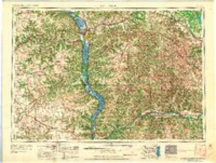
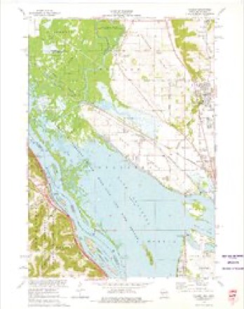
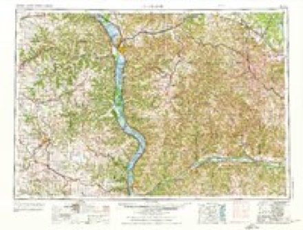
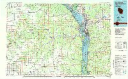
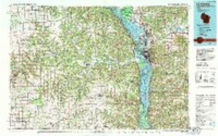
Topographic sheets covering this place
9 surveys from 13 printed sheetsMatched by testing this settlement's coordinate against the published boundary of every sheet in the United States Geological Survey's historical collection. Each opens the scanned sheet at the Survey.
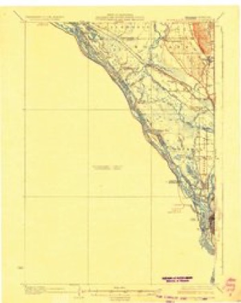
- 1930 USGS La Crescent quadrangle1:62500, 3 printings
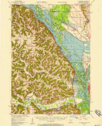
- 1956 USGS La Crescent quadrangle1:62500, 2 printings
- 1958 USGS La Crosse quadrangle1:250000, 2 printings
- 1961 USGS La Crosse quadrangle1:250000
- 1965 USGS La Crosse quadrangle1:250000
- 1973 USGS Holmen quadrangle1:24000
- 1976 USGS La Crosse quadrangle1:250000
- 1984 USGS La Crosse quadrangle1:100000
- 1990 USGS La Crosse quadrangle1:100000
In the county-history sources
1,741 words on this townshipHistory of Winona County, published 1883 names this settlement in its chapter on Dresbach Township. These are the passages that mention it, exactly as the scans read.
The township of Dresbach lies in the southeast corner of Winona county. It is the smallest township in the county, containing 4,400 acres. The shape of the township is nearly a perfect right-angled triangle, with the acute angle on the bank of the Mississippi, just above Dakota. The township is five and one-fifth miles long from north to south, and about three and one-fourth miles wide on the southern boundary. It is bounded on the east by the Mississippi river, south by Houston county, and on the west by the township ot New Hartford. The township was formed under the organization act of 1858, and was named Dresbach, after Geo. B. Dresbach, Sr., the founder of Dresbach village. The surface of the township is considerably broken by the chain of bluffs extending through the county along the Mississippi. The bluffs, from their abrrijtness and loftiness, in some parts of the township, form a very majestic appearance, and are much admired by the lovers of nature. The highest bluffs are found along the Mississippi, where they rise several hundred feet above the river. Mineral bluff (named from the mineral deposits found under its base) is the highest (405 feet) in the township. This bluff is just at the upper end of the village of Dresbach. It affords from its summit, one of the grandest views of any bluff along the Mississippi. One can see La Crosse, Onalas, Kansas, Trempealeau, Galesville, and several other towns in Wisconsin, at distances of ten to twenty miles. There are other bluffs in the township, from the tops of which one never becomes tired of looking, or "grows weary and sick at heart."
Passage source: History of Winona County, published 1883.
Indian mounds and relics are found in various parts of the township. Not long since, while some men were digging in Mineral bluff, one hundred and fifty feet above the river, a skeleton of an unusual size was unearthed. On measuring, the giant skeleton was found to be ten feet in length, with other parts in proper proportion. In the skull was found a copper hatchet, and a dart or arrow-head nine inches long. Another skeleton, nine feet long, was found in the village of Dresbach, while some men were digging a road or trench.
Passage source: History of Winona County, published 1883.
The first permanent settler that came to the township of Dresbach was Nathan Brown, of New York, who settled in 1849 at Dakota. There was a man by the name of John Reed here a few years prior to Mr. Brown, but Reed was merely a trader and never became a permanent settler. All that now can be learned of Reed is, that he had a trading-post on the banks of the Mississippi at (old) Dakota. The ruins of an old chimney were seen for several years after he left, which were supposed to be where he had his tradingpost. But Mr. Nathan Brown, now living near the village of Dakota, was the first to erect permanent buildings and become a regular settler. First buildings that Mr. Brown raised were two log cabiris, - one for a dwelling, the other for a store. He also built a log stable - all 12 X 16 feet. The stockin his store consisted of corn, flour, sugar, meat, tobacco, etc. His trade for the first few years was confined to the Indians and rivermen. The log cabins built by Mr.
Passage source: History of Winona County, published 1883.
Machine-read from a century-old scan, so expect the errors a machine makes: misspelled names, dropped words, stray characters.
Read the whole chapter on Dresbach Township - it names this place 5 more 5 times.
Fires near this place
36 since 1992Regional context, not property-specific evidence. The federal wildfire occurrence database lists 36 fires within 5 miles of Dresbach between 1992 and 2019, burning about 69 acres in total. None started naturally. 3 were recorded as arson. Distance is straight-line from the map coordinates, so a fire counted here may appear on a neighbouring settlement's page as well.
| Reported cause | Fires |
|---|---|
| Debris and open burning | 14 |
| Railroad operations and maintenance | 8 |
| Recreation and ceremony | 4 |
| Arson/incendiarism | 3 |
| Equipment and vehicle use | 2 |
| Missing data/not specified/undetermined | 2 |
| Misuse of fire by a minor | 2 |
| Smoking | 1 |
The most recent of them, most recent first, with the day each was reported and the service that recorded it.
| Date | Cause | Size | Reported by | Name on the report |
|---|---|---|---|---|
| 9 September 2003 | Misuse of fire by a minor | under an acre | LaCrosse District, Upper Mississippi National Wildlife Refuge | PAMMEL CREEK FIRE |
| 2 September 2019 | Debris and open burning | under an acre | Wisconsin Department of Natural Resources | 1900058 |
| 31 July 1992 | Debris and open burning | under an acre | Minnesota Department of Natural Resources | not named |
| 4 June 2019 | Arson/incendiarism | under an acre | Wisconsin Department of Natural Resources | 19-0479 |
| 10 June 2005 | Recreation and ceremony | under an acre | Minnesota Department of Natural Resources | not named |
| 6 May 1997 | Arson/incendiarism | under an acre | Minnesota Department of Natural Resources | not named |
| 3 May 1992 | Railroad operations and maintenance | under an acre | Minnesota Department of Natural Resources | not named |
| 27 May 1992 | Railroad operations and maintenance | under an acre | Minnesota Department of Natural Resources | not named |
Settlements close enough to share some of these fires:
Mines and quarries near this place
3 within 5 milesRegional context, not property-specific evidence. The federal mineral resources record lists 3 workings within 5 miles of Dresbach: 2 producers, 1 past producer. 2 still produce. What was taken out: Stone, Crushed/Broken, Sand and Gravel, Construction. Distance is straight-line from the map coordinates, so a quarry counted here may appear on a neighbouring settlement's page as well.
| Where | Site | Commodity | Status | Recorded |
|---|---|---|---|---|
| Lacrosse County Highway Dept. Pit | Sand and Gravel, Construction | Past Producer | ||
| Dresbach Quarry | Stone, Crushed/Broken | Producer | ||
| Horn Quarry | Stone, Crushed/Broken | Producer |
Storms near this place
8 since 1999Regional context, not property-specific evidence. The National Weather Service names Dresbach in 8 storm reports between 1999 and 2024: 4 heavy rain, 1 hail, 1 flash flood, 1 thunderstorm wind. No death or injury is recorded in these reports. Each account below is quoted exactly as the forecast office filed it, from the NOAA Storm Events Database, and each date opens the federal record of that event.
| When | Event | Place named | Harm | What the report says |
|---|---|---|---|---|
| August 2014 | Thunderstorm Wind | Dresbach | $15,000 | Trees were blown down with at least one landing on a house near Dakota. The tree also took down a power lines. |
| July 2008 | Flash Flood | Dresbach | $10,000 | Law Enforcement reports mudslides along Interstate 90 near Dresbach and flash flooding reported around the area. |
| July 2024 | Flood | Dresbach | - | Significant rainfall throughout June pushed the Mississippi River at La Crescent into flood stage in June and continued into July. The river stage crested during the afternoon on July 2nd in minor flood stage at 642.93 ft. |
| April 2013 | Heavy Rain | Dresbach | - | The COOP observer north of La Crescent reported 2.25 inches of rain. |
| October 2013 | Heavy Rain | Dresbach | - | At Lock and Dam 7 near La Crescent, 3.35 inches of rain was measured. |
| June 2011 | Heavy Rain | Dresbach | - | A total of 4.3 inches of rain fell in the 24 hour period. |
| August 2007 | Heavy Rain | Dresbach | - | Standing water was reported under the Interstate 90 overpass. |
| July 1999 | Hail | Dresbach | - | no account filed |
Nearest settlements
The eight closest, with where each one stands in the county. Distances are straight-line, computed from the Geographic Names Information System coordinates.
Elsewhere
Matched on this settlement's Geographic Names Information System number rather than its name, so it cannot be a different place of the same name in another state.
| Wikipedia article on Dresbach | An encyclopaedic summary. Its text is share-alike, so it is linked here rather than copied. |
| Wikidata item Q5306987 | The structured record the population and elevation above come from. Public domain (CC0). |
Provenance
This settlement is recorded in the Geographic Names Information System as feature 642922. The sheet list is computed by point-in-boundary test against the United States Geological Survey's historical topographic inventory. Both are works of the United States government and carry no copyright under 17 U.S.C. 105.
Wildfire. Short, Karen C. 2022. Spatial wildfire occurrence data for the United States, 1992-2020 [FPA_FOD_20221014]. 6th Edition. Fort Collins, CO: Forest Service Research Data Archive. https://doi.org/10.2737/RDS-2013-0009.6 Collected with United States Government funding and usable without additional permissions or fees.
Mines and quarries. USGS Mineral Resources Data System (MRDS) https://mrdata.usgs.gov/mrds/ A work of the United States government, no copyright under 17 U.S.C. 105.
Storms. NOAA National Centers for Environmental Information, Storm Events Database https://www.ncei.noaa.gov/stormevents/ A work of the United States government, no copyright under 17 U.S.C. 105. Narratives are quoted verbatim from the National Weather Service report and are not edited or summarised.