 Block
Homer, Minnesota
18 topographic sheets cover this place, the earliest surveyed in 1929 and the latest in 1985. It stands in Homer Township. It lies in ZIP code area 55987. It stands on Homer Creek. The Survey maps it on the Winona East quadrangle. 189 people lived here at the 2020 count. It stands 692 feet above sea level.
On record in Homer
Buildings and businesses the archive holds for this place. Each opens its own page, with the source record it came from.
On the National Register within a mile 1 record
The National Register names another town for these. They stand within one mile of this settlement's coordinate.
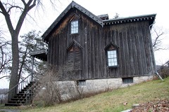 Willard Bunnell Houselisted 1973 · 0.3 miles away
Population over time
2 figuresHomer grew from 181 to 189 between 2010 and 2020. These are the recorded population figures Wikidata holds for this place, reached through the Geographic Names Information System number this page is keyed on rather than by name, so they belong to this place and not to another of the same name. Most are census counts, but not all are: an early figure may be a founding or settlement estimate, and an estimate published within five years of a census is left out. The change column is computed, and is left blank where more than 20 years separate a figure from the one before it, because a gap that long is not a change between two counts.
| Year | People | Change |
|---|---|---|
| 2010 | 181 | |
| 2020 | 189 | +8 (+4%) |
Topographic sheets covering this place
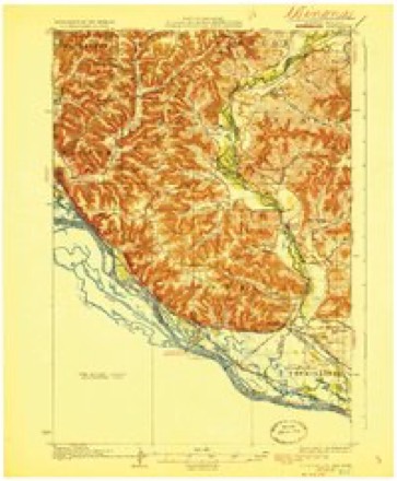
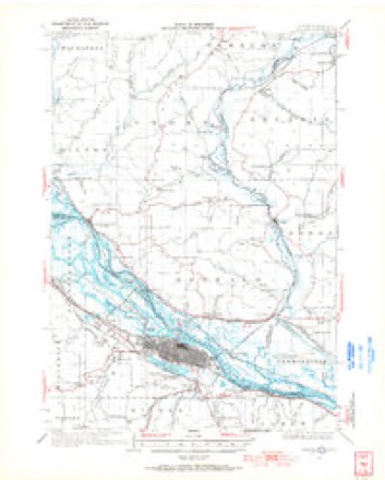
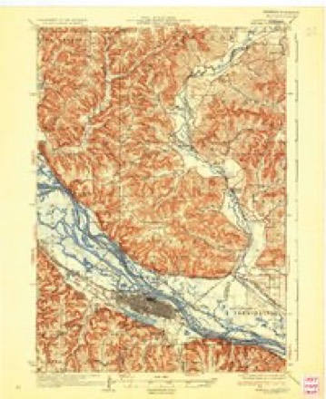
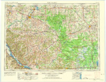
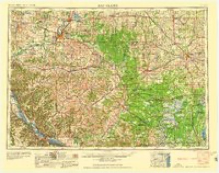
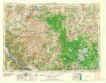
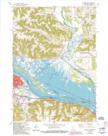
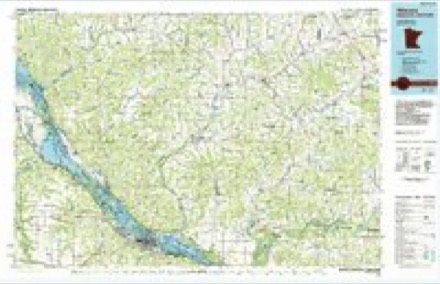
8 surveys from 18 printed sheetsMatched by testing this settlement's coordinate against the published boundary of every sheet in the United States Geological Survey's historical collection. Each opens the scanned sheet at the Survey.
- 1929 USGS Fountain City quadrangle1:62500, 2 printings
- 1934 USGS Winona quadrangle1:62500, 2 printings
- 1937 USGS Winona quadrangle1:62500, 3 printings
- 1953 USGS Eau Claire quadrangle1:250000, 4 printings
- 1958 USGS Eau Claire quadrangle1:250000
- 1964 USGS Eau Claire quadrangle1:250000
- 1972 USGS Winona East quadrangle1:24000, 3 printings
- 1985 USGS Winona quadrangle1:100000, 2 printings
In the county-history sources
3,708 words on this townshipHistory of Winona County, published 1883 names this settlement in its chapter on Homer Township. These are the passages that mention it, exactly as the scans read.
Homer township was organized May 11, 1858. It lies in T. 106 and 107 W. and R. 6 IST. It is bounded on the west b}' Wilson and Winona townships, on the south by Pleasant Hill township, on the east by Richmond township, and on the north by the Mississippi river. It comprises thirty-three complete sections and five fractional ones. The Mississippi river strikes the township on N, W. J of Sec. 31, and flows southeast through Sees. 1, 2 and 3. The surface is very much broken ; the soil on the ridge land is clay, while in the valleys it is a black loam. The products are wheat, corn, oats and barley. The average per acre for the present year (1882) is as follows : Wheat, per acre, 12 bushels ; corn, per acre, 60 bushels ; oats, per acre, 35 bushels. Stone quarries may be found all along the river, but they are only worked occasionally.
Passage source: History of Winona County, published 1883.
The first settler in Homer township, and also the first in the county, was Willard Bunnell, who came in 1849, and settled on the present site of the village of Homer; he was an Indian trader. C. F. Buck followed soon after and settled near by. This place was then called "Bunnell's Landing." Leonard Johnson came in 1852 and started up a wood-yard on a place just below Bunnell's landing called Johnson's point. John Lavine made his appearance at Minneoah, then a mushroom village just above Bunnell's landing, in 1853. In 1855 he settled on Sec. 11, in Cedar Creek valley, and remained there ever since. Peter Gorr came to the township in 1853, and settled on Sec. 18, in Gorr's valley, now known as Pleasant valley. In 1881 Peter Gorr removed to the old site of Minneoah, on the bank of the Mississippi. R. F. Norton came to Minneoah in 1854 ; he keeps a store at present writing in the village of Homer. Wm. Lamson, another old settler, reached the township in 1855. The first road in the township reached from Willard Bunnell's place westward to the township line. It was begun in 1853 by private enterprise and completed in 1854. The first house in the town- gliip was owned by Willard Bunnell and stood at BunnelFs landing. Willard Bunnell also kept the lirst postoHice in his own house as early as 1853. The first birth in the township was that of Louisa Bunnell - born February 22, 1850. This was also the first birth in the county.
Passage source: History of Winona County, published 1883.
Pickwick village, and indeed all Homer township, was very much agitated over news received in 1862 that the Indians were planning an attack upon the settlement. People came flocking from all parts of the township to the stone-mill in Pickwick, intending to use it as a fort. It was a false alarm, however, caused by untrue statements and exaggerated reports. The Indians were at the time on the war-path at Mankato, but Pickwick had no cause for alarm.
Passage source: History of Winona County, published 1883.
Machine-read from a century-old scan, so expect the errors a machine makes: misspelled names, dropped words, stray characters.
Read the whole chapter on Homer Township - it names this place 5 more 5 times.
Fires near this place
32 since 1993Regional context, not property-specific evidence. The federal wildfire occurrence database lists 32 fires within 5 miles of Homer between 1993 and 2020, burning about 98 acres in total. 2 started naturally. 3 were recorded as arson. Distance is straight-line from the map coordinates, so a fire counted here may appear on a neighbouring settlement's page as well.
| Reported cause | Fires |
|---|---|
| Debris and open burning | 14 |
| Missing data/not specified/undetermined | 6 |
| Arson/incendiarism | 3 |
| Railroad operations and maintenance | 3 |
| Natural | 2 |
| Recreation and ceremony | 2 |
| Equipment and vehicle use | 1 |
| Smoking | 1 |
The most recent of them, most recent first, with the day each was reported and the service that recorded it.
| Date | Cause | Size | Reported by | Name on the report |
|---|---|---|---|---|
| 25 August 2014 | Natural | under an acre | Trempeleau National Wildlife Refuge | BFC |
| 22 August 1996 | Missing data/not specified/undetermined | under an acre | Minnesota Department of Natural Resources | not named |
| 10 July 2006 | Railroad operations and maintenance | under an acre | Minnesota Department of Natural Resources | not named |
| 17 June 2003 | Smoking | under an acre | Minnesota Department of Natural Resources | not named |
| 15 June 1994 | Railroad operations and maintenance | under an acre | Minnesota Department of Natural Resources | not named |
| 7 May 2005 | Debris and open burning | under an acre | Minnesota Department of Natural Resources | not named |
| 7 May 2004 | Natural | under an acre | Minnesota Department of Natural Resources | not named |
| 3 May 2003 | Recreation and ceremony | 1.0 acres | Minnesota Department of Natural Resources | not named |
Settlements close enough to share some of these fires:
Mines and quarries near this place
10 of 12 shownRegional context, not property-specific evidence. The federal mineral resources record lists 12 workings within 5 miles of Homer: 8 past producers, 3 occurrences, 1 producer. 1 still produces. What was taken out: Sand and Gravel, Construction, Stone, Crushed/Broken. Distance is straight-line from the map coordinates, so a quarry counted here may appear on a neighbouring settlement's page as well.
| Where | Site | Commodity | Status | Recorded |
|---|---|---|---|---|
| Big Bend Shale Deposit | Stone, Crushed/Broken | Occurrence | ||
| Bluff Siding Dolomite Deposit | Stone, Crushed/Broken | Occurrence | ||
| Bluff Siding Limestone Quarry | Stone, Crushed/Broken | Past Producer | ||
| Roverud Quarry and Mill | Stone, Crushed/Broken | Producer | ||
| C Carhart Gravel Pit | Sand and Gravel, Construction | Past Producer | ||
| F Klein Gravel Pit | Sand and Gravel, Construction | Past Producer | ||
| F Klein Sand Pit | Sand and Gravel, Construction | Past Producer | ||
| Many Waters Gravel Pit | Sand and Gravel, Construction | Past Producer | ||
| Marshland Gravel Pit | Sand and Gravel, Construction | Past Producer | ||
| R Bark Gravel Pit | Sand and Gravel, Construction | Past Producer |
Storms near this place
14 since 2012Regional context, not property-specific evidence. The National Weather Service names Homer in 14 storm reports between 2012 and 2024: 5 hail, 4 thunderstorm wind, 2 flash flood, 1 lightning. No death or injury is recorded in these reports. Each account below is quoted exactly as the forecast office filed it, from the NOAA Storm Events Database, and each date opens the federal record of that event.
| When | Event | Place named | Harm | What the report says |
|---|---|---|---|---|
| June 2020 | Hail | Homer | $900,000 | Hail ranging in size from 1.25 to 2 inches in diameter fell from the south side of Winona to near Pickwick. |
| December 2021 | Tornado (EF1) | Homer | $100,000 | An EF1 tornado formed on a ridge top southwest of Homer, moved northeast across Homer before moving out over the Mississippi River and into Trempealeau County, Wisconsin. The main damage occurred on the ridge top to trees and outbuildings. By the time the tornado reached Homer, it was weakening and damage was mainly limited to trees. |
| June 2020 | Hail | Homer | $50,000 | Hail ranging in size from 1.75 to 2 inches in diameter was reported south of Homer. |
| May 2012 | Lightning | Homer | $30,000 | Lightning struck a house and caused a fire. The house sustained minor fire damage to the roof and attic while the second floor was damaged by heat, water and smoke. |
| July 2014 | Thunderstorm Wind | Homer | $25,000 | Several trees and power lines were blown down between Pickwick and Homer. One home was damaged when a tree fell on it and one lane of U.S. Highway 61 was closed for a short time due to debris that was blown onto the road. |
| July 2017 | Flash Flood | Homer | $7,000 | Locally heavy rains caused a mudslide to occur near Homer. The slide covered the southbound lanes of U.S. Highway 61 near County Road 15. |
| October 2013 | Flash Flood | Homer | $5,000 | County Road 15 near Pickwick was closed due to numerous mud slides. At least two trees were pushed over County Road 17 by mud slides. |
| December 2021 | Thunderstorm Wind | Homer | $3,000 | Trees were snapped off and uprooted south of Homer. |
| May 2012 | Thunderstorm Wind | Homer | $3,000 | Widespread tree damage occurred in Winona. |
| December 2021 | Thunderstorm Wind | Homer | $2,000 | Trees were snapped off southwest of Homer. |
| July 2024 | Hail | Homer | - | Local officials reported quarter sized hail in the town of Pickwick. |
| April 2022 | Hail | Homer | - | Quarter sized hail was reported south of Homer. |
| May 2017 | Flood | Homer | - | A mud slide on the south side of Winona covered a portion of County Highway 17. |
| June 2015 | Hail | Homer | - | Quarter sized hail was reported east of Pickwick. |
Nearest settlements
The eight closest, with where each one stands in the county. Distances are straight-line, computed from the Geographic Names Information System coordinates.
| Map | Place | Distance | Sheets |
|---|---|---|---|
| Sugarloaf | 3.6 miles | 18 | |
| Morningside Terrace | 3.6 miles | 18 | |
| Pickwick | 4.3 miles | 14 | |
| Lamoille | 4.7 miles | 11 | |
| Winona | 4.8 miles | 18 | |
| Centerville | 6.8 miles | 11 | |
| Witoka | 6.9 miles | 11 | |
| Ridgeway | 7.6 miles | 11 |
Elsewhere
Matched on this settlement's Geographic Names Information System number rather than its name, so it cannot be a different place of the same name in another state.
| Wikipedia article on Homer | An encyclopaedic summary. Its text is share-alike, so it is linked here rather than copied. |
| Wikidata item Q5788087 | The structured record the population and elevation above come from. Public domain (CC0). |
Provenance
This settlement is recorded in the Geographic Names Information System as feature 645149. The sheet list is computed by point-in-boundary test against the United States Geological Survey's historical topographic inventory. Both are works of the United States government and carry no copyright under 17 U.S.C. 105.
Wildfire. Short, Karen C. 2022. Spatial wildfire occurrence data for the United States, 1992-2020 [FPA_FOD_20221014]. 6th Edition. Fort Collins, CO: Forest Service Research Data Archive. https://doi.org/10.2737/RDS-2013-0009.6 Collected with United States Government funding and usable without additional permissions or fees.
Mines and quarries. USGS Mineral Resources Data System (MRDS) https://mrdata.usgs.gov/mrds/ A work of the United States government, no copyright under 17 U.S.C. 105.
Storms. NOAA National Centers for Environmental Information, Storm Events Database https://www.ncei.noaa.gov/stormevents/ A work of the United States government, no copyright under 17 U.S.C. 105. Narratives are quoted verbatim from the National Weather Service report and are not edited or summarised.