 Block
Pickwick, Minnesota
14 topographic sheets cover this place, the earliest surveyed in 1930 and the latest in 1990. It stands in Homer Township. It lies in ZIP code area 55987. It lies near Little Trout Valley. The Survey maps it on the Pickwick quadrangle.
Topographic sheets covering this place
9 surveys from 14 printed sheetsMatched by testing this settlement's coordinate against the published boundary of every sheet in the United States Geological Survey's historical collection. Each opens the scanned sheet at the Survey.
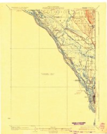
- 1930 USGS La Crescent quadrangle1:62500, 3 printings
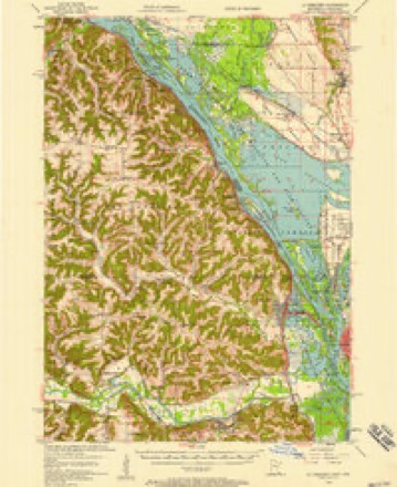
- 1956 USGS La Crescent quadrangle1:62500, 2 printings
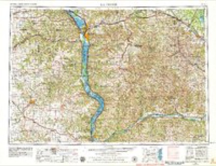
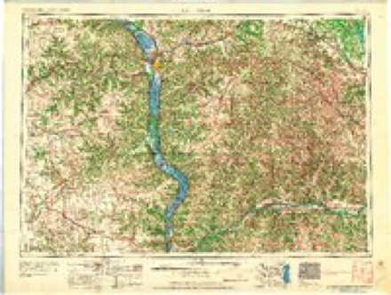
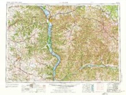
- 1958 USGS La Crosse quadrangle1:250000, 2 printings
- 1961 USGS La Crosse quadrangle1:250000
- 1965 USGS La Crosse quadrangle1:250000
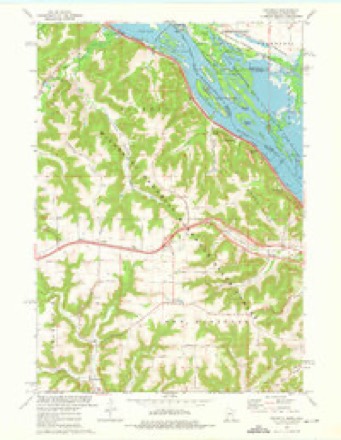
- 1973 USGS Pickwick quadrangle1:24000, 2 printings
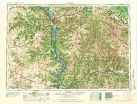
- 1976 USGS La Crosse quadrangle1:250000
- 1984 USGS La Crosse quadrangle1:100000
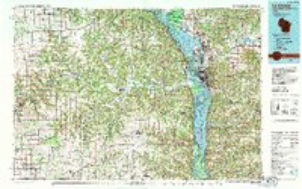
- 1990 USGS La Crosse quadrangle1:100000
In the county-history sources
3,708 words on this townshipHistory of Winona County, published 1883 names this settlement in its chapter on Homer Township. These are the passages that mention it, exactly as the scans read.
The township is traversed by two creeks, Cedar creek and Big Trout run. Cedar creek rises in the southwestern part of the township, flows northeast, and empties into the Mississippi river on Sec. 1. Big Trout run is formed by numerous springs in the southern part of the township ; at Pickwick it broadens into a small lake, and furnishes water-power for a large flour-mill ; from Pickwick the stream flows northeast, and leaves the township on Sec. 13. It finally terminates in the Mississippi on Sec. 8, in Richmond township.
Passage source: History of Winona County, published 1883.
Pickwick village, and indeed all Homer township, was very much agitated over news received in 1862 that the Indians were planning an attack upon the settlement. People came flocking from all parts of the township to the stone-mill in Pickwick, intending to use it as a fort. It was a false alarm, however, caused by untrue statements and exaggerated reports. The Indians were at the time on the war-path at Mankato, but Pickwick had no cause for alarm.
Passage source: History of Winona County, published 1883.
Pickwick was laid out in 1857. It stands on Sec. 13 of Homer township, at the head of a tiny lake formed by the expansion of Big Trout Run. It is almost surrounded by high blufis, and is widely known for its picturesque situation. Big Trout Run flows 'northeast from the village, and its zigzag course can be traced for miles down the valley by the willows growing on its banks. The village was named after ''Pickwick Papers," by Charles Dickens. Thomson Grant, who came in 1853, was the first settler in the village. The first store was owned by Ferdinand Cox, who came in 1855.
Passage source: History of Winona County, published 1883.
Machine-read from a century-old scan, so expect the errors a machine makes: misspelled names, dropped words, stray characters.
Read the whole chapter on Homer Township - it names this place 3 more 3 times.
Fires near this place
28 since 1992Regional context, not property-specific evidence. The federal wildfire occurrence database lists 28 fires within 5 miles of Pickwick between 1992 and 2020, burning about 46 acres in total. 2 started naturally. 2 were recorded as arson. Distance is straight-line from the map coordinates, so a fire counted here may appear on a neighbouring settlement's page as well.
| Reported cause | Fires |
|---|---|
| Debris and open burning | 9 |
| Railroad operations and maintenance | 6 |
| Equipment and vehicle use | 3 |
| Missing data/not specified/undetermined | 3 |
| Smoking | 2 |
| Arson/incendiarism | 2 |
| Natural | 2 |
| Recreation and ceremony | 1 |
The most recent of them, most recent first, with the day each was reported and the service that recorded it.
| Date | Cause | Size | Reported by | Name on the report |
|---|---|---|---|---|
| 25 August 2014 | Natural | under an acre | Trempeleau National Wildlife Refuge | BFC |
| 7 July 2002 | Smoking | under an acre | Minnesota Department of Natural Resources | not named |
| 22 July 1996 | Equipment and vehicle use | under an acre | Minnesota Department of Natural Resources | not named |
| 10 July 2006 | Railroad operations and maintenance | under an acre | Minnesota Department of Natural Resources | not named |
| 15 June 1994 | Railroad operations and maintenance | under an acre | Minnesota Department of Natural Resources | not named |
| 7 May 2020 | Smoking | 1.0 acres | Wisconsin Department of Natural Resources | 2023 |
| 7 May 2005 | Debris and open burning | under an acre | Minnesota Department of Natural Resources | not named |
| 7 May 2004 | Natural | under an acre | Minnesota Department of Natural Resources | not named |
Settlements close enough to share some of these fires:
Mines and quarries near this place
8 within 5 milesRegional context, not property-specific evidence. The federal mineral resources record lists 8 workings within 5 miles of Pickwick: 6 past producers, 2 producers. 2 still produce. What was taken out: Sand and Gravel, Construction, Stone, Crushed/Broken. Distance is straight-line from the map coordinates, so a quarry counted here may appear on a neighbouring settlement's page as well.
| Where | Site | Commodity | Status | Recorded |
|---|---|---|---|---|
| Trempealeau Dolomite Quarry #1 | Stone, Crushed/Broken | Past Producer | ||
| Trempealeau Dolomite Quarry #2 | Stone, Crushed/Broken | Past Producer | ||
| Yeadke Quarry | Stone, Crushed/Broken | Producer | ||
| Frank Eichman Pit | Sand and Gravel, Construction | Producer | ||
| G Stetzer Gravel Pit | Sand and Gravel, Construction | Past Producer | ||
| H Kohnle Sand Pit | Sand and Gravel, Construction | Past Producer | ||
| Sonsalla Farms Gravel Pit | Sand and Gravel, Construction | Past Producer | ||
| Trempealeau Gravel Pit | Sand and Gravel, Construction | Past Producer |
Storms near this place
9 since 2005Regional context, not property-specific evidence. The National Weather Service names Pickwick in 9 storm reports between 2005 and 2025: 5 hail, 3 thunderstorm wind, 1 funnel cloud. No death or injury is recorded in these reports. Each account below is quoted exactly as the forecast office filed it, from the NOAA Storm Events Database, and each date opens the federal record of that event.
| When | Event | Place named | Harm | What the report says |
|---|---|---|---|---|
| July 2024 | Hail | Pickwick | $23,000 | Local officials reported golf ball sized hail in Pickwick. |
| December 2021 | Thunderstorm Wind | Pickwick | $5,000 | A path of snapped off trees occurred near Pickwick. |
| December 2021 | Thunderstorm Wind | Pickwick | $2,000 | Trees were snapped off in Pickwick. |
| August 2010 | Thunderstorm Wind | Pickwick | $500 | Large trees were blown down. |
| May 2025 | Hail | Pickwick | - | The public reported quarter sized hail in Pickwick. The report was relayed via photo through email. |
| July 2024 | Hail | Pickwick | - | Local officials reported ping pong ball sized hail south of Pickwick. |
| June 2014 | Funnel Cloud | Pickwick | - | A brief funnel cloud was sighted northwest of Pickwick. |
| July 2013 | Hail | Pickwick | - | no account filed |
| August 2005 | Hail | Pickwick | - | no account filed |
Nearest settlements
The eight closest, with where each one stands in the county. Distances are straight-line, computed from the Geographic Names Information System coordinates.
Provenance
This settlement is recorded in the Geographic Names Information System as feature 649388. The sheet list is computed by point-in-boundary test against the United States Geological Survey's historical topographic inventory. Both are works of the United States government and carry no copyright under 17 U.S.C. 105.
Wildfire. Short, Karen C. 2022. Spatial wildfire occurrence data for the United States, 1992-2020 [FPA_FOD_20221014]. 6th Edition. Fort Collins, CO: Forest Service Research Data Archive. https://doi.org/10.2737/RDS-2013-0009.6 Collected with United States Government funding and usable without additional permissions or fees.
Mines and quarries. USGS Mineral Resources Data System (MRDS) https://mrdata.usgs.gov/mrds/ A work of the United States government, no copyright under 17 U.S.C. 105.
Storms. NOAA National Centers for Environmental Information, Storm Events Database https://www.ncei.noaa.gov/stormevents/ A work of the United States government, no copyright under 17 U.S.C. 105. Narratives are quoted verbatim from the National Weather Service report and are not edited or summarised.