 Block
Freeburg, Minnesota
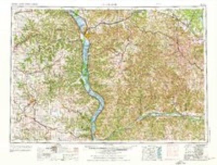
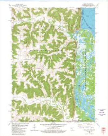
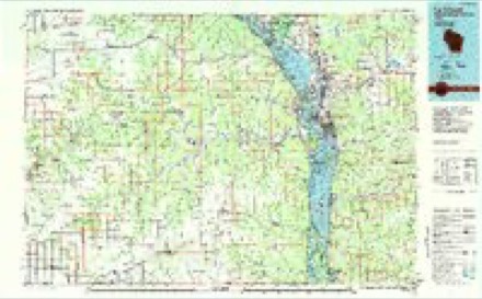
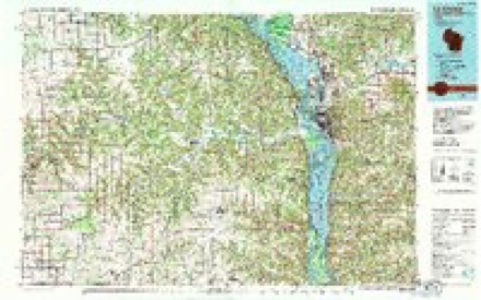
10 topographic sheets cover this place, the earliest surveyed in 1956 and the latest in 1990. It stands in Crooked Creek Township. It lies in ZIP code area 55921. The Survey maps it on the Reno quadrangle.
Topographic sheets covering this place
8 surveys from 10 printed sheetsMatched by testing this settlement's coordinate against the published boundary of every sheet in the United States Geological Survey's historical collection. Each opens the scanned sheet at the Survey.
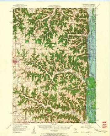
- 1956 USGS Brownsville quadrangle1:62500, 2 printings
- 1958 USGS La Crosse quadrangle1:250000, 2 printings
- 1961 USGS La Crosse quadrangle1:250000
- 1965 USGS La Crosse quadrangle1:250000
- 1976 USGS La Crosse quadrangle1:250000
- 1980 USGS Reno quadrangle1:24000
- 1984 USGS La Crosse quadrangle1:100000
- 1990 USGS La Crosse quadrangle1:100000
In the county-history sources
6,116 words on this townshipHistory of Houston County, Minnesota, published 1919 names this settlement in its chapter on Crooked Creek Township. These are the passages that mention it, exactly as the scans read.
The Chicago, Milwaukee & St. Paul Railway traverses the eastern part of the township, running north and south, and connecting at Renowith the Reno Preston branch of the same road, which runs westward, passing through the Uttle village of Freeburg, thus affording good transportation facilities in various directions.
Passage source: History of Houston County, Minnesota, published 1919.
The first white settlement in Crooked Creek Township was made in June, 1852, by George Powlesland, who came up from Iowa, where he had been working on a farm, and made a claim in section 36. He made several trips back and forth, on his second arrival, in the fall, being accompanied by George Littlefield and William Oxford. Owing to the ravages of a prairie fire, he found difficulty in locating his claim, but finally found it and erected a small cabin with an earth floor and a single window, to which early in January of the following year, he brought his family. Mr. Littlefield and Mr. Oxford, who had gone back to Iowa after selecting claims, also returned in 1853, and in the spring the latter drove to and from Brownsville along an Indian trail, which he stopped to improve and which subsequently became the regular road between the two places. His first claim was in section 30, where the village of Freeburg is now located, and his first house was of logs with an elm bark roof, and the ground for a floor. Subsequently he entered a quarter of section 35, and also acquired other land.
Passage source: History of Houston County, Minnesota, published 1919.
Among the other pioneers who arrived during the first few years of settlement were Anthony Huyck, Thomas Bayne, Nicholas Roster and family, and Mr. Dean. Mr. Huyck showed his enterprise by acquiring land and making improvements, which he sold to actual settlers, including Mr. Roster, who secured a claim from him with a timber residence, 12 by 14 feet in size, and who also succeeded in obtaining 320 acres on or near the site of the present village of Freeburg. He died in 1872, while Mr. Dean, who went as a soldier in the Civil War, died in the army.
Passage source: History of Houston County, Minnesota, published 1919.
Machine-read from a century-old scan, so expect the errors a machine makes: misspelled names, dropped words, stray characters.
Read the whole chapter on Crooked Creek Township - it names this place 1 more 1 time.
Fires near this place
42 since 1992Regional context, not property-specific evidence. The federal wildfire occurrence database lists 42 fires within 5 miles of Freeburg between 1992 and 2019, burning about 198 acres in total. 1 started naturally. 6 were recorded as arson. Distance is straight-line from the map coordinates, so a fire counted here may appear on a neighbouring settlement's page as well.
| Reported cause | Fires |
|---|---|
| Debris and open burning | 26 |
| Arson/incendiarism | 6 |
| Missing data/not specified/undetermined | 5 |
| Equipment and vehicle use | 2 |
| Power generation/transmission/distribution | 1 |
| Natural | 1 |
| Recreation and ceremony | 1 |
The most recent of them, most recent first, with the day each was reported and the service that recorded it.
| Date | Cause | Size | Reported by | Name on the report |
|---|---|---|---|---|
| 7 September 2003 | Debris and open burning | under an acre | Minnesota Department of Natural Resources | not named |
| 30 August 2013 | Power generation/transmission/distribution | under an acre | Minnesota Department of Natural Resources | not named |
| 17 July 2001 | Natural | under an acre | Minnesota Department of Natural Resources | not named |
| 16 July 1996 | Equipment and vehicle use | 8.0 acres | Minnesota Department of Natural Resources | not named |
| 15 May 1995 | Debris and open burning | 2.0 acres | Minnesota Department of Natural Resources | not named |
| 11 May 1997 | Missing data/not specified/undetermined | 1.0 acres | Minnesota Department of Natural Resources | not named |
| 8 April 2005 | Missing data/not specified/undetermined | under an acre | Minnesota Department of Natural Resources | not named |
| 6 April 2014 | Debris and open burning | 8.0 acres | Minnesota Department of Natural Resources | not named |
Settlements close enough to share some of these fires:
Mines and quarries near this place
1 within 5 milesRegional context, not property-specific evidence. The federal mineral resources record lists 1 working within 5 miles of Freeburg: 1 producer. All of them still produce. What was taken out: Stone, Crushed/Broken. Distance is straight-line from the map coordinates, so a quarry counted here may appear on a neighbouring settlement's page as well.
| Where | Site | Commodity | Status | Recorded |
|---|---|---|---|---|
| Gengler Quarry & Mill | Stone, Crushed/Broken | Producer |
Storms near this place
4 since 1997Regional context, not property-specific evidence. The National Weather Service names Freeburg in 4 storm reports between 1997 and 2025: 1 hail, 1 lightning, 1 flash flood, 1 tornado. No death or injury is recorded in these reports. Each account below is quoted exactly as the forecast office filed it, from the NOAA Storm Events Database, and each date opens the federal record of that event.
| When | Event | Place named | Harm | What the report says |
|---|---|---|---|---|
| September 2016 | Flash Flood | Freeburg | $44,000 | Heavy rain caused more water than normal to flow over the Freeburg spillway and produced flooding along Crooked Creek. The flooding washed out a portion of Whitetail Drive. |
| August 1997 | Hail | Freeburg | $20,000 | no account filed |
| August 2011 | Lightning | Freeburg | $10,000 | Lightning struck a satellite dish on the top of house and traveled through wires into the attic igniting a fire. The fire damaged one room in the house and the garage. |
| June 2025 | Tornado (EF0) | Freeburg | - | This brief tornado developed in rural areas south of Hokah before quickly dissipating over County Road 20 where some damage to trees was noted. |
Nearest settlements
The eight closest, with where each one stands in the county. Distances are straight-line, computed from the Geographic Names Information System coordinates.
| Map | Place | Distance | Sheets |
|---|---|---|---|
| Reno | 4.8 miles | 10 | |
| Caledonia | 7.2 miles | 10 | |
| Highland Park Estates | 7.2 miles | 10 | |
| Pine Estates | 7.2 miles | 10 | |
| Brownsville | 7.3 miles | 10 | |
| Jefferson | 8.0 miles | 10 | |
| Eitzen | 8.8 miles | 10 | |
| Village Terrace | 10.2 miles | 14 |
Provenance
This settlement is recorded in the Geographic Names Information System as feature 643918. The sheet list is computed by point-in-boundary test against the United States Geological Survey's historical topographic inventory. Both are works of the United States government and carry no copyright under 17 U.S.C. 105.
Wildfire. Short, Karen C. 2022. Spatial wildfire occurrence data for the United States, 1992-2020 [FPA_FOD_20221014]. 6th Edition. Fort Collins, CO: Forest Service Research Data Archive. https://doi.org/10.2737/RDS-2013-0009.6 Collected with United States Government funding and usable without additional permissions or fees.
Mines and quarries. USGS Mineral Resources Data System (MRDS) https://mrdata.usgs.gov/mrds/ A work of the United States government, no copyright under 17 U.S.C. 105.
Storms. NOAA National Centers for Environmental Information, Storm Events Database https://www.ncei.noaa.gov/stormevents/ A work of the United States government, no copyright under 17 U.S.C. 105. Narratives are quoted verbatim from the National Weather Service report and are not edited or summarised.