 Block
Jefferson, Minnesota
10 topographic sheets cover this place, the earliest surveyed in 1956 and the latest in 1990. It stands in Jefferson Township. It lies in ZIP code area 55919. It stands on Ice Haul Slough. The Survey maps it on the Reno quadrangle. It stands 659 feet above sea level.
On record in Jefferson
Buildings and businesses the archive holds for this place. Each opens its own page, with the source record it came from.
On the National Register 1 record
- Jefferson Grain Warehouselisted 1994
Topographic sheets covering this place
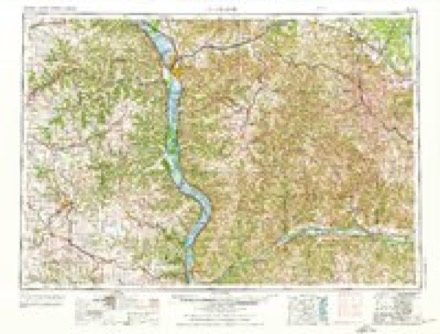
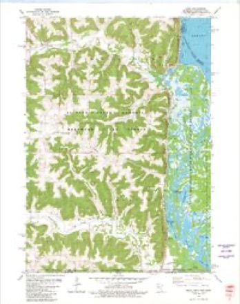
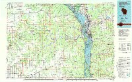
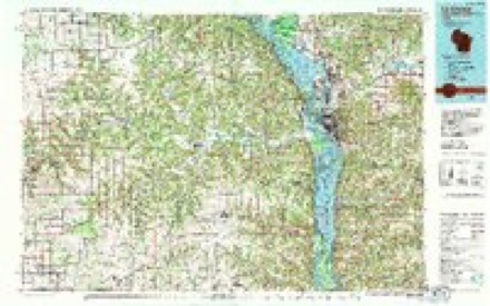
8 surveys from 10 printed sheetsMatched by testing this settlement's coordinate against the published boundary of every sheet in the United States Geological Survey's historical collection. Each opens the scanned sheet at the Survey.
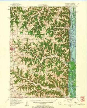
- 1956 USGS Brownsville quadrangle1:62500, 2 printings
- 1958 USGS La Crosse quadrangle1:250000, 2 printings
- 1961 USGS La Crosse quadrangle1:250000
- 1965 USGS La Crosse quadrangle1:250000
- 1976 USGS La Crosse quadrangle1:250000
- 1980 USGS Reno quadrangle1:24000
- 1984 USGS La Crosse quadrangle1:100000
- 1990 USGS La Crosse quadrangle1:100000
In the county-history sources
6,146 words on this townshipHistory of Houston County, Minnesota, published 1919 names this settlement in its chapter on Jefferson Township. These are the passages that mention it, exactly as the scans read.
The men who started the ball of civilization rolling in Jefferson Township, and, incidentally, in the county, were John and Samuel Ross, two brothers, who arrived here on a steamboat from Galena in 1847, and disembarked at a point on the west bank of the river, whence they proceeded to select places of settlement. With the help of the Indians they erected cabins and began pioneer work, being engaged for the most part in lumbering. On the survey of the state line in 1849, Samuel, whose location was some distance to the south of John's, found that his cabin was in the state of Iowa. Several years later he sold out to John, and resided at Ross's Landing, the site of Jefferson Village, and continued logging, running his timber down to Galena. Soon after the Rosses came a man named Smith, located a claim in the vicinity, but a little later sold it to a Norwegian who arrived, accompanied by his wife. These latter settlers had not been there long, when some one calling at their cabin, found that the man had been dead for four days, and that his wife was too sick to get up from his side. The two Rosses gave the body decent burial under an oak tree near the spring, and one of them took the woman to Lansing, where she was lost sight of. Patrick Collins, who arrived in the township in May, 1854, became a permanent settler, establishing in section 30. John Cauley and family came the same year and it was about the same time that Thomas Brady, Patrick Donahue, Patrick McCue, D. Friney, and Daniel Kennedy arrived. Michael Crowley, who came from Louisville, Ky., died after living here a few years ; his wife survived him until 1880. The first death in the town was probably that of their son Patrick, who was drowned in September, 1854. While taking some oxen to water he was crowded by them over a high bluflf, and although soon taken from the water, all efforts to resuscitate him proved unavailing.
Passage source: History of Houston County, Minnesota, published 1919.
Robert Kenny, who was prominent among the early settlers of Jefferson Township, was born in Kilkenny County, Ireland, in 1835, and came to America with his parents when ten years old. He came to this township with his brother Thomas in the spring of 1854. In May, 1861, he married Mrs. Elizabeth Kirby, a widow, who had long been a resident of Dubuque County, Iowa. He resided in various places until 1872, when he moved to New Albin, where he built a house. For some years, while living in Houston County, he was quite prominent in local politics, but later gave his attention solely to business matters, and had a successful career. His wife died in April, 1879, and was buried in the Jefferson Catholic cemetery.
Passage source: History of Houston County, Minnesota, published 1919.
Another pioneer settler of Jefferson township was Peter McDonald, a native of Canada, who came to the township with his brother. Ensign, in October, 1865. For a number of years they had resided in New York, and in July, 1852, Peter had been married in Waterbury, this state, to Catherine McMullen. The day after arriving here he took a claim in section 7, his brother, who had been here the season before, taking one in section 28. After the arrival of Mr. McDonald's family in the following spring, he moved to section 34, where he established a permanent home. In May, 1864, he enlisted in Company C, Second Minnesota Volunteer Infantry, and served until the close of the war.
Passage source: History of Houston County, Minnesota, published 1919.
Machine-read from a century-old scan, so expect the errors a machine makes: misspelled names, dropped words, stray characters.
Read the whole chapter on Jefferson Township - it names this place 4 more 4 times.
Fires near this place
5 since 1999Regional context, not property-specific evidence. The federal wildfire occurrence database lists 5 fires within 5 miles of Jefferson between 1999 and 2020, burning about 291 acres in total. None started naturally. None was recorded as arson. Distance is straight-line from the map coordinates, so a fire counted here may appear on a neighbouring settlement's page as well.
| Reported cause | Fires |
|---|---|
| Missing data/not specified/undetermined | 3 |
| Equipment and vehicle use | 2 |
The most recent of them, most recent first, with the day each was reported and the service that recorded it.
| Date | Cause | Size | Reported by | Name on the report |
|---|---|---|---|---|
| 9 April 2012 | Equipment and vehicle use | 166 acres | McGregor District, Upper Mississippi River Complex | WHALEN |
| 2 April 1999 | Missing data/not specified/undetermined | 124 acres | Minnesota Department of Natural Resources | PIEPER FIRE |
| 22 December 2020 | Missing data/not specified/undetermined | 1.0 acres | Wisconsin Department of Natural Resources | 1112020 |
| 4 October 2012 | Equipment and vehicle use | under an acre | Minnesota Department of Natural Resources | not named |
| 20 October 2012 | Missing data/not specified/undetermined | under an acre | Minnesota Department of Natural Resources | not named |
Settlements close enough to share some of these fires:
Mines and quarries near this place
5 within 5 milesRegional context, not property-specific evidence. The federal mineral resources record lists 5 workings within 5 miles of Jefferson: 3 producers, 2 past producers. 3 still produce. What was taken out: Stone, Crushed/Broken. Distance is straight-line from the map coordinates, so a quarry counted here may appear on a neighbouring settlement's page as well.
| Where | Site | Commodity | Status | Recorded |
|---|---|---|---|---|
| Beneke Quarry | Stone, Crushed/Broken | Producer | ||
| Meyer Quarry | Stone, Crushed/Broken | Past Producer | ||
| Pool Hill Quarry & Mill | Stone, Crushed/Broken | Past Producer | ||
| Riehms Quarry | Stone, Crushed/Broken | Producer | ||
| Victory Quarry | Stone, Crushed/Broken | Producer |
Nearest settlements
The eight closest, with where each one stands in the county. Distances are straight-line, computed from the Geographic Names Information System coordinates.
| Map | Place | Distance | Sheets |
|---|---|---|---|
| Reno | 6.0 miles | 10 | |
| Freeburg | 8.0 miles | 10 | |
| Eitzen | 9.6 miles | 10 | |
| Brownsville | 12.4 miles | 10 | |
| Wilmington | 14.1 miles | 9 | |
| Caledonia | 14.2 miles | 10 | |
| Highland Park Estates | 14.2 miles | 10 | |
| Pine Estates | 14.2 miles | 10 |
Elsewhere
Matched on this settlement's Geographic Names Information System number rather than its name, so it cannot be a different place of the same name in another state.
| Wikipedia article on Jefferson | An encyclopaedic summary. Its text is share-alike, so it is linked here rather than copied. |
| Wikidata item Q6175342 | The structured record the population and elevation above come from. Public domain (CC0). |
Provenance
This settlement is recorded in the Geographic Names Information System as feature 654638. The sheet list is computed by point-in-boundary test against the United States Geological Survey's historical topographic inventory. Both are works of the United States government and carry no copyright under 17 U.S.C. 105.
Wildfire. Short, Karen C. 2022. Spatial wildfire occurrence data for the United States, 1992-2020 [FPA_FOD_20221014]. 6th Edition. Fort Collins, CO: Forest Service Research Data Archive. https://doi.org/10.2737/RDS-2013-0009.6 Collected with United States Government funding and usable without additional permissions or fees.
Mines and quarries. USGS Mineral Resources Data System (MRDS) https://mrdata.usgs.gov/mrds/ A work of the United States government, no copyright under 17 U.S.C. 105.