 Block
Witoka, Minnesota
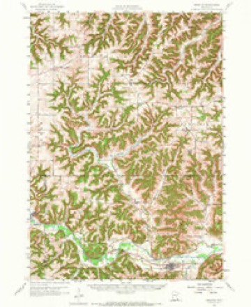
11 topographic sheets cover this place, the earliest surveyed in 1958 and the latest in 1990. It stands in Wiscoy Township. It lies in ZIP code area 55987. It lies near Pleasant Ridge. The Survey maps it on the Witoka quadrangle. It stands 1,335 feet above sea level.
Topographic sheets covering this place
8 surveys from 11 printed sheetsMatched by testing this settlement's coordinate against the published boundary of every sheet in the United States Geological Survey's historical collection. Each opens the scanned sheet at the Survey.
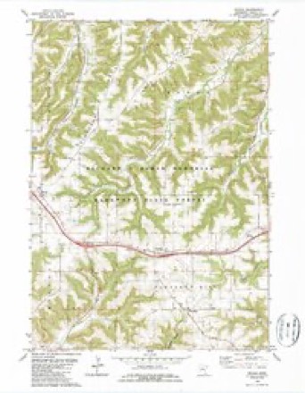
- 1958 USGS Houston quadrangle1:62500, 2 printings
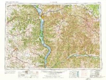
- 1958 USGS La Crosse quadrangle1:250000, 2 printings
- 1961 USGS La Crosse quadrangle1:250000
- 1965 USGS La Crosse quadrangle1:250000
- 1976 USGS La Crosse quadrangle1:250000
- 1980 USGS Witoka quadrangle1:24000, 2 printings
- 1984 USGS La Crosse quadrangle1:100000
- 1990 USGS La Crosse quadrangle1:100000
In the county-history sources
4,240 words on this townshipHistory of Winona County, published 1883 names this settlement in its chapter on Wiscoy Township. These are the passages that mention it, exactly as the scans read.
A. F. Hill arrived the same year and took up a farm on the same section. II. A. Corey and Lemuel Abell came to Wiscoy the same year (1855). H. A. Corey settled on Sec. 24, in Money Creek valley. He is still living and in possession of his farm. Lemuel Abell settled on N.W. J of Sec.' 3. O. G. Morrison arrived in 1857 and entered a part of Sec. 27. Both Lemuel Abell and O. G. Morrison have kept their farms without changing hands. The township was organized and the first meeting held May 10, 1858. Rufus Thomas was a])pointed town clerk. The members of the first board were : Lemuel Abell, Joseph Brooks, supervisors ; H. A. Corey, assessor; Franklin Vidits, collector ; James Greenfield, overseer of the poor ; Calmer Harris, Edward Taylor, justices of the peace ; Esben Skinkle, A. B. Watsen, constables. The town clei-ks in order : Rufus Thomas, 1858-9 ; S. G. Jones, 1859-60 ; C. A. Fuller, 1860-62 ; C. A. Wheeler, 1862-65 ; M. S. Wood, 1865-67 ; C. A. Wheeler, 1867-8; D. W. Pickart, 1868-9; S. G. Jones, 1869-72; James (lark, 1872-82-3. Present board: E. Skinkle, Charles Waldo, wnY>KA villa(;e. Witoka was laid out in 1855 by Geo. W. Morse, L. Thomas and David Parker. It lies on Sec. 35 and comprises an area of fifty- eii^ht acres. It was known at first by the name of Centerville, but was afterward changed to Witoka. L. Thomas came May 16, 1855, and built the first house in the village. He also jDut up a store for the sale of general merchandise. The same year Calvin Ford came and started a store also. A blacksmith shop was built at this time by Wm. Jones, who was followed by Harvey Bourne. The first postoffice was established in 1856; L. Thomas was the postmaster. - During the fii-st year he carried the mail at his own expense, but at the end of that time a mail route was established. The first marriage was that of Becky Smitli to Wm. More in 1857. In 1856 a small dwelling-house was built which was turned into a schoolhouse. This school was taught by Rufus Thomas. A district school was erected in 1857 ; the first teacher was Charlotte French. There was a doctor in the village at this time. Dr. Samuel Miller. Divine service was held as early as 1855, in the house of L. Thomas, presided over by Rev. Cogswill. The next year, 1856, a series of sermons were delivered every tour weeks by Elder L. Babcock, in the same place. After this meetings were held in the schoolhouse,- by both Methodist and Baptist ministers. The first hotel in Witoka, a large frame building, was owned by L. Thomas, and was burned in 1877. At present there are two towns, known respectively as West or Old Witoka and East or New Witoka. All the residence part of the village is in West Witoka, while the business part, stores, hotel, etc., lies in East Witoka. East Witoka lies directly on the line between Wilson and Wiscoy townships. When the Pleasant Valley road was laid out in 1878, all the stores, etc., left the old town and came over to East Witoka. At present writing there are two stores in East Witoka, kept respectively by O. Abell and George Yongs ; two blacksmith shops, owned by Phillip Bourne and B. Bragg ; two wagon shops, worked by B. Bragg and Walter Crandell ; a large brick hotel two stories high, run by L. Thomas. The dimensions of the hotel are 84x21: feet, with a wing 26x18. The postmaster is O. Abell. A fine graded school was built in West Witoka in 1868. It is a frame building with a dimension of 80X30 feet. The school has two departments; the "principal'' is W. Wilbur, with Emma Stray er as "assistant." J. Crandall is the village physician. There is one church in West W^itoka, the Congregational. The building was intended for the use of a grangers' hall, but was sold in 1879 to the church. Rev. Elmer was the first pastor ; he was replaced in 1880 by the pi-esent pastor, H. A, Bushnell. A Sabbath school exists in connection with the church, with an average attendance of sixty-live pupils. Henry Kader is the superintendent. There is one society in Witoka, the "Witoka Grange.'"' This association was organized in 1870, with a membership of 1-14. The otHcers for 1882 were : G. M. Hiley, worthy master ; J. E. Balch, secretary; H. Neman, treasurer. Its object is mutual protection from monopolies and exorbitant charges for transportation.
Passage source: History of Winona County, published 1883.
There are two postoffices in Wilson township, one at Witoka, O. Abell, postmaster ; another on Sec. 29 is kept by Henry Biaiser - this is known as Wilson postoffice. The first house in the township was built by J. Giles in 1854 on Sec. 29. Frank Brown was the first child born, in 1854, The postoffice now known as Wilson postoffice was first called Wayland postoffice, and was kept by John F. Giles. John Giles was no doubt the first man to settle in Wilson ; he came as early as 1853 and entered a part of what is now Sec. 29. He was, however, dissatisfied with his claim, and removed, but returned again in 1854. The year 1855 was marked by the entrance of a large number of land-seekers. J. C. Walker, Antone Schoebe, Joseph A. Hilbe, Joseph Heller, Wm. Bergman, Sr., Wm. Bergman, Jr., Louis Keller, Levi Winget, Jerry Moran, R. D. Fellows, Michael Koenig, Henry Benig, Lauren Thomas and Henry Heublin all were among the number.
Passage source: History of Winona County, published 1883.
Machine-read from a century-old scan, so expect the errors a machine makes: misspelled names, dropped words, stray characters.
Read the whole chapter on Wiscoy Township - it names this place 1 more 1 time.
Fires near this place
41 since 1992Regional context, not property-specific evidence. The federal wildfire occurrence database lists 41 fires within 5 miles of Witoka between 1992 and 2020, burning about 114 acres in total. None started naturally. 3 were recorded as arson. Distance is straight-line from the map coordinates, so a fire counted here may appear on a neighbouring settlement's page as well.
| Reported cause | Fires |
|---|---|
| Debris and open burning | 22 |
| Missing data/not specified/undetermined | 6 |
| Equipment and vehicle use | 5 |
| Smoking | 4 |
| Arson/incendiarism | 3 |
| Recreation and ceremony | 1 |
The most recent of them, most recent first, with the day each was reported and the service that recorded it.
| Date | Cause | Size | Reported by | Name on the report |
|---|---|---|---|---|
| 5 September 2002 | Smoking | under an acre | Minnesota Department of Natural Resources | not named |
| 22 August 1996 | Missing data/not specified/undetermined | under an acre | Minnesota Department of Natural Resources | not named |
| 22 July 1996 | Equipment and vehicle use | under an acre | Minnesota Department of Natural Resources | not named |
| 13 July 2006 | Smoking | under an acre | Minnesota Department of Natural Resources | not named |
| 19 June 2006 | Equipment and vehicle use | under an acre | Minnesota Department of Natural Resources | not named |
| 17 June 2003 | Smoking | under an acre | Minnesota Department of Natural Resources | not named |
| 9 May 2020 | Debris and open burning | 1.0 acres | Minnesota Department of Natural Resources | not named |
| 7 May 2006 | Recreation and ceremony | 4.1 acres | Minnesota Department of Natural Resources | not named |
Settlements close enough to share some of these fires:
Mines and quarries near this place
3 within 5 milesRegional context, not property-specific evidence. The federal mineral resources record lists 3 workings within 5 miles of Witoka: 3 producers. All of them still produce. What was taken out: Stone, Crushed/Broken. Distance is straight-line from the map coordinates, so a quarry counted here may appear on a neighbouring settlement's page as well.
| Where | Site | Commodity | Status | Recorded |
|---|---|---|---|---|
| Frickson Quarry | Stone, Crushed/Broken | Producer | ||
| Hector Constr Quarry | Stone, Crushed/Broken | Producer | ||
| Quarve and Anderson Quarry | Stone, Crushed/Broken | Producer |
Storms near this place
2 since 2023Regional context, not property-specific evidence. The National Weather Service names Witoka in 2 storm reports in 2023: 2 hail. No death or injury is recorded in these reports. Each account below is quoted exactly as the forecast office filed it, from the NOAA Storm Events Database, and each date opens the federal record of that event.
Nearest settlements
The eight closest, with where each one stands in the county. Distances are straight-line, computed from the Geographic Names Information System coordinates.
| Map | Place | Distance | Sheets |
|---|---|---|---|
| Centerville | 1.1 miles | 11 | |
| Ridgeway | 3.5 miles | 11 | |
| Wilson | 3.9 miles | 11 | |
| Sugarloaf | 6.4 miles | 18 | |
| Morningside Terrace | 6.5 miles | 18 | |
| Homer | 6.9 miles | 18 | |
| Pickwick | 7.4 miles | 14 | |
| Hart | 7.5 miles | 11 |
Elsewhere
Matched on this settlement's Geographic Names Information System number rather than its name, so it cannot be a different place of the same name in another state.
| Wikipedia article on Witoka | An encyclopaedic summary. Its text is share-alike, so it is linked here rather than copied. |
| Wikidata item Q8028422 | The structured record the population and elevation above come from. Public domain (CC0). |
Provenance
This settlement is recorded in the Geographic Names Information System as feature 654296. The sheet list is computed by point-in-boundary test against the United States Geological Survey's historical topographic inventory. Both are works of the United States government and carry no copyright under 17 U.S.C. 105.
Wildfire. Short, Karen C. 2022. Spatial wildfire occurrence data for the United States, 1992-2020 [FPA_FOD_20221014]. 6th Edition. Fort Collins, CO: Forest Service Research Data Archive. https://doi.org/10.2737/RDS-2013-0009.6 Collected with United States Government funding and usable without additional permissions or fees.
Mines and quarries. USGS Mineral Resources Data System (MRDS) https://mrdata.usgs.gov/mrds/ A work of the United States government, no copyright under 17 U.S.C. 105.
Storms. NOAA National Centers for Environmental Information, Storm Events Database https://www.ncei.noaa.gov/stormevents/ A work of the United States government, no copyright under 17 U.S.C. 105. Narratives are quoted verbatim from the National Weather Service report and are not edited or summarised.