 Block
Wilmington, Minnesota
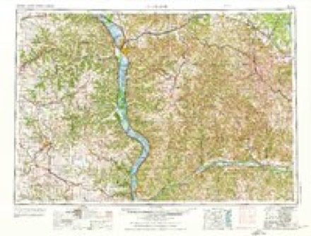
9 topographic sheets cover this place, the earliest surveyed in 1958 and the latest in 1990. It stands in Wilmington Township. It lies in ZIP code area 55921. The Survey maps it on the Wilmington quadrangle. It stands 1,188 feet above sea level.
Topographic sheets covering this place
7 surveys from 9 printed sheetsMatched by testing this settlement's coordinate against the published boundary of every sheet in the United States Geological Survey's historical collection. Each opens the scanned sheet at the Survey.
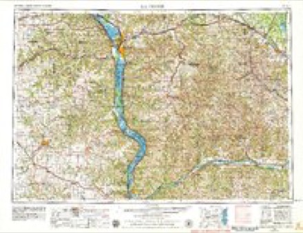
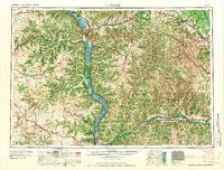
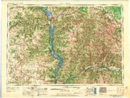
- 1958 USGS La Crosse quadrangle1:250000, 2 printings
- 1961 USGS La Crosse quadrangle1:250000
- 1965 USGS La Crosse quadrangle1:250000
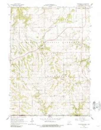
- 1965 USGS Wilmington quadrangle1:24000, 2 printings
- 1976 USGS La Crosse quadrangle1:250000
- 1984 USGS La Crosse quadrangle1:100000
- 1990 USGS La Crosse quadrangle1:100000
In the county-history sources
3,684 words on this townshipHistory of Houston County, Minnesota, published 1919 names this settlement in its chapter on Wilmington Township. These are the passages that mention it, exactly as the scans read.
Portland Prairie was the first part of the town settled. The locality known by this name, however, lies only partly in Wilmington Township, a part of it being in Winnebago Township, and a part extending across the state line into Iowa. The county records show that the ownership of the prairie farms, for a dozen years or so from the first settlement, frequently changed hands. The Germans and Scandinavians were appearing to take up the remaining vacant lands, or purchase of the Americans who desired to sell their improvements. Like most frontier places, the first residences were not commodious, but comfortable log cabins, requiring little except a few days' hard labor to erect. Many families had to bear their inconveniences many years before the luxury of a frame house could be enjoyed. The farming at first was of a rude character, with appliances such as were in vogue before the era of machinery, and while there was an abiding faith in the ability of the soil to produce root crops, corn and oats, there was many a dubious shake of the head when wheat was mentioned. But like many another question, practical experience soon solved the problem in the affirmative, although most of the flour at first used to come from outside the county. Wheat, oats and com soon began to be established crops. The trouble of getting it ground, at first very serious, was in a few years rendered satisfactory by Messrs. Harney & Edward Bell, who built a log mill and set it to running in Dorchester.
Passage source: History of Houston County, Minnesota, published 1919.
The people of Wilmington, like the rest, became thoroughly frightened, and while some remained on their farms, most of them started with their families, and what few valuables they could carry, for Lansing. When near the southeastern part of the town, in the vicinity of C. F. Albee's farm, the American residents succeeded in halting the fugitives, and to assure them that there was no danger, C. F. Albee and A. Sherman started on horseback for Spring Grove to learn whether the Indians were really there, as all comers reported, murdering the people and burning all before them. Everything having been reported as quiet as the conventional Potomac, the people slowly went back to their recently forsaken homes, but many of them had turned their cattle into the grain, the losses were quite heavy.
Passage source: History of Houston County, Minnesota, published 1919.
At this meeting the town was divided into nine ward districts, with the following overseers: Mike McGinnis, G. Andreson, H. Peterson, G. Gilbertson, Knud Severson and T. Oleson. A resolution that hogs should be permitted to run at large was unanimously adopted. The meeting then adjourned. And thus the town of Wilmington was started on its career as a political entity.
Passage source: History of Houston County, Minnesota, published 1919.
Machine-read from a century-old scan, so expect the errors a machine makes: misspelled names, dropped words, stray characters.
Read the whole chapter on Wilmington Township - it names this place 2 more 2 times.
Fires near this place
16 since 1992Regional context, not property-specific evidence. The federal wildfire occurrence database lists 16 fires within 5 miles of Wilmington between 1992 and 2018, burning about 59 acres in total. None started naturally. None was recorded as arson. Distance is straight-line from the map coordinates, so a fire counted here may appear on a neighbouring settlement's page as well.
| Reported cause | Fires |
|---|---|
| Debris and open burning | 9 |
| Equipment and vehicle use | 4 |
| Missing data/not specified/undetermined | 3 |
The most recent of them, most recent first, with the day each was reported and the service that recorded it.
| Date | Cause | Size | Reported by | Name on the report |
|---|---|---|---|---|
| 17 September 2018 | Missing data/not specified/undetermined | under an acre | Minnesota Department of Natural Resources | not named |
| 31 August 2005 | Missing data/not specified/undetermined | under an acre | Minnesota Department of Natural Resources | not named |
| 30 June 2012 | Equipment and vehicle use | under an acre | Minnesota Department of Natural Resources | not named |
| 29 May 2003 | Debris and open burning | under an acre | Minnesota Department of Natural Resources | not named |
| 13 May 2017 | Equipment and vehicle use | under an acre | Minnesota Department of Natural Resources | not named |
| 1 May 2005 | Debris and open burning | under an acre | Minnesota Department of Natural Resources | not named |
| 9 April 2009 | Debris and open burning | 8.5 acres | Minnesota Department of Natural Resources | not named |
| 5 April 1992 | Equipment and vehicle use | 1.0 acres | Minnesota Department of Natural Resources | not named |
Settlements close enough to share some of these fires:
Mines and quarries near this place
4 within 5 milesRegional context, not property-specific evidence. The federal mineral resources record lists 4 workings within 5 miles of Wilmington: 3 producers, 1 past producer. 3 still produce. What was taken out: Stone, Crushed/Broken. Distance is straight-line from the map coordinates, so a quarry counted here may appear on a neighbouring settlement's page as well.
| Where | Site | Commodity | Status | Recorded |
|---|---|---|---|---|
| Guberud Quarry & Mill | Stone, Crushed/Broken | Producer | ||
| Roverud Quarry | Stone, Crushed/Broken | Producer | ||
| Thiele Quarry | Stone, Crushed/Broken | Producer | ||
| Unknown | Stone, Crushed/Broken | Past Producer |
Nearest settlements
The eight closest, with where each one stands in the county. Distances are straight-line, computed from the Geographic Names Information System coordinates.
| Map | Place | Distance | Sheets |
|---|---|---|---|
| Willington Grove | 2.9 miles | 9 | |
| Bee | 3.5 miles | 9 | |
| Eitzen | 5.1 miles | 10 | |
| Spring Grove | 5.1 miles | 8 | |
| Caledonia | 6.5 miles | 10 | |
| Highland Park Estates | 6.5 miles | 10 | |
| Pine Estates | 6.5 miles | 10 | |
| Black Hammer | 7.9 miles | 8 |
Elsewhere
Matched on this settlement's Geographic Names Information System number rather than its name, so it cannot be a different place of the same name in another state.
| Wikipedia article on Wilmington | An encyclopaedic summary. Its text is share-alike, so it is linked here rather than copied. |
| Wikidata item Q8022725 | The structured record the population and elevation above come from. Public domain (CC0). |
Provenance
This settlement is recorded in the Geographic Names Information System as feature 655014. The sheet list is computed by point-in-boundary test against the United States Geological Survey's historical topographic inventory. Both are works of the United States government and carry no copyright under 17 U.S.C. 105.
Wildfire. Short, Karen C. 2022. Spatial wildfire occurrence data for the United States, 1992-2020 [FPA_FOD_20221014]. 6th Edition. Fort Collins, CO: Forest Service Research Data Archive. https://doi.org/10.2737/RDS-2013-0009.6 Collected with United States Government funding and usable without additional permissions or fees.
Mines and quarries. USGS Mineral Resources Data System (MRDS) https://mrdata.usgs.gov/mrds/ A work of the United States government, no copyright under 17 U.S.C. 105.