 Block
Black Hammer, Minnesota
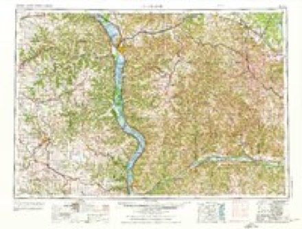
8 topographic sheets cover this place, the earliest surveyed in 1958 and the latest in 1990. It stands in Black Hammer Township. It lies in ZIP code area 55974. It stands on Black Hammer Bluff. The Survey maps it on the Spring Grove quadrangle. It stands 1,175 feet above sea level.
Topographic sheets covering this place
7 surveys from 8 printed sheetsMatched by testing this settlement's coordinate against the published boundary of every sheet in the United States Geological Survey's historical collection. Each opens the scanned sheet at the Survey.
- 1958 USGS La Crosse quadrangle1:250000, 2 printings
- 1961 USGS La Crosse quadrangle1:250000
- 1965 USGS La Crosse quadrangle1:250000
- 1965 USGS Spring Grove quadrangle1:24000
- 1976 USGS La Crosse quadrangle1:250000
- 1984 USGS La Crosse quadrangle1:100000
- 1990 USGS La Crosse quadrangle1:100000
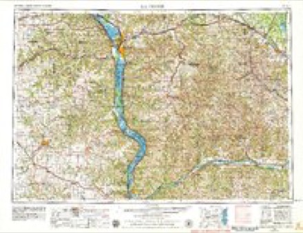
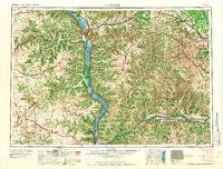
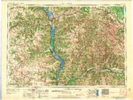
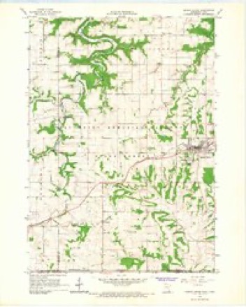
In the county-history sources
1,062 words on this townshipHistory of Houston County, Minnesota, published 1919 names this settlement in its chapter on Black Hammer Township. These are the passages that mention it, exactly as the scans read.
In March, 1853, the second pioneer of Black Hammer arrived, in the person of Torkel Aageson, a Norwegian, bom in 1818, who had been two years in America, having lived awhile in Rock County, Wisconsin, and Winnishiek County, Iowa. He brought tools with him, with which he built a habitation of poplar poles, with a birch bark roof, where he lived alone, the only white man in town, except Stevens, who was several miles away to the north. During the first season he broke ten acres, which marked the beginning of agriculture in the town. He afterwards planted an orchard and gathered the first crop of apples ever raised in this section.
Passage source: History of Houston County, Minnesota, published 1919.
The men from Black Hammer who early enlisted for service in the Civil War were assigned to Company F, Tenth Minnesota Volunteer Infantry. Their names, so far as can be learned, were: Hans O. Oleson and Chandler Flemming, who were killed at Nashville, Tenn.; Alvin Smith, who died at Memphis, Tenn. ; Silas Carrier, who died at Ft. Snelling, Minn. ; and Frank Brown, William Cooper, Silas J. Cooper, Henry Cooper and John Birdsell.
Passage source: History of Houston County, Minnesota, published 1919.
Machine-read from a century-old scan, so expect the errors a machine makes: misspelled names, dropped words, stray characters.
Read the whole chapter on Black Hammer Township - it names this place 1 more 1 time.
Fires near this place
13 since 1993Regional context, not property-specific evidence. The federal wildfire occurrence database lists 13 fires within 5 miles of Black Hammer between 1993 and 2014, burning about 84 acres in total. None started naturally. None was recorded as arson. Distance is straight-line from the map coordinates, so a fire counted here may appear on a neighbouring settlement's page as well.
| Reported cause | Fires |
|---|---|
| Debris and open burning | 10 |
| Missing data/not specified/undetermined | 2 |
| Equipment and vehicle use | 1 |
The most recent of them, most recent first, with the day each was reported and the service that recorded it.
| Date | Cause | Size | Reported by | Name on the report |
|---|---|---|---|---|
| 9 April 2009 | Debris and open burning | 8.5 acres | Minnesota Department of Natural Resources | not named |
| 9 April 2004 | Debris and open burning | under an acre | Minnesota Department of Natural Resources | not named |
| 8 April 2004 | Equipment and vehicle use | under an acre | Minnesota Department of Natural Resources | not named |
| 4 April 2004 | Debris and open burning | under an acre | Minnesota Department of Natural Resources | not named |
| 29 April 1993 | Debris and open burning | under an acre | Minnesota Department of Natural Resources | not named |
| 27 April 2001 | Debris and open burning | under an acre | Minnesota Department of Natural Resources | not named |
| 16 April 2004 | Missing data/not specified/undetermined | under an acre | Minnesota Department of Natural Resources | not named |
| 12 April 2004 | Debris and open burning | under an acre | Minnesota Department of Natural Resources | not named |
Settlements close enough to share some of these fires:
Mines and quarries near this place
3 within 5 milesRegional context, not property-specific evidence. The federal mineral resources record lists 3 workings within 5 miles of Black Hammer: 3 producers. All of them still produce. What was taken out: Stone, Crushed/Broken. Distance is straight-line from the map coordinates, so a quarry counted here may appear on a neighbouring settlement's page as well.
| Where | Site | Commodity | Status | Recorded |
|---|---|---|---|---|
| Cherry Quarry | Stone, Crushed/Broken | Producer | ||
| Rauk Quarry | Stone, Crushed/Broken | Producer | ||
| Roverud Quarry | Stone, Crushed/Broken | Producer |
Storms near this place
9 since 2006Regional context, not property-specific evidence. The National Weather Service names Black Hammer in 9 storm reports between 2006 and 2025: 3 heavy rain, 2 thunderstorm wind, 2 flood, 1 hail. No death or injury is recorded in these reports. Each account below is quoted exactly as the forecast office filed it, from the NOAA Storm Events Database, and each date opens the federal record of that event.
| When | Event | Place named | Harm | What the report says |
|---|---|---|---|---|
| June 2008 | Flood | Black Hammer | $6,500,000 | Widespread flooding forced the closure of virtually all roads across the county. Several civil emergency messages were sent by request of county officials for evacuations in mainly the southern half of the county. An estimated 9300 acres of corn and 5400 acres of beans were lost. There were massive mudslides in some parts of the county, just like in August 2007. Debris backup was common against area bridge supports. |
| September 2016 | Flood | Black Hammer | $800,000 | Flooding along Winnebago Creek caused officials to close County Highway 5 over the southern portions of the county. The flooding also caused the lower portion of Camp Winnebago to be closed where the road was washed out. Flood waters also covered Cutacross Road and Yucatan Road. |
| April 2011 | Thunderstorm Wind | Black Hammer | $5,000 | Several trees were blown down along County Road 19. |
| June 2025 | Tornado (EF1) | Black Hammer | $2,000 | This tornado crossed into Houston County from Fillmore County and produced EF-1 damage to trees and one outbuilding roof. This tornado was embedded within a larger area of strong downburst winds that resulted in extensive tree damage. |
| June 2007 | Thunderstorm Wind | Black Hammer | $500 | no account filed |
| June 2013 | Heavy Rain | Black Hammer | - | The COOP observer north of Spring Grove reported 5.01 inches of rain. |
| April 2013 | Heavy Rain | Black Hammer | - | The COOP observer near Spring Grove reported 2.71 inches of rain. |
| September 2010 | Heavy Rain | Black Hammer | - | The total rainfall amounted to 4.04 inches. Elsewhere in the county, the total rainfall was 3.76 inches at Spring Grove and 3.03 inches near Reno. |
| May 2006 | Hail | Black Hammer | - | no account filed |
Nearest settlements
The eight closest, with where each one stands in the county. Distances are straight-line, computed from the Geographic Names Information System coordinates.
| Map | Place | Distance | Sheets |
|---|---|---|---|
| Spring Grove | 4.0 miles | 8 | |
| Riceford | 4.5 miles | 8 | |
| Yucatan | 4.7 miles | 8 | |
| Willington Grove | 5.1 miles | 9 | |
| Schechs Mill | 5.5 miles | 9 | |
| Sheldon | 5.6 miles | 9 | |
| Newhouse | 6.6 miles | 8 | |
| Wilmington | 7.9 miles | 9 |
Elsewhere
Matched on this settlement's Geographic Names Information System number rather than its name, so it cannot be a different place of the same name in another state.
| Wikipedia article on Black Hammer | An encyclopaedic summary. Its text is share-alike, so it is linked here rather than copied. |
| Wikidata item Q4920861 | The structured record the population and elevation above come from. Public domain (CC0). |
Provenance
This settlement is recorded in the Geographic Names Information System as feature 654607. The sheet list is computed by point-in-boundary test against the United States Geological Survey's historical topographic inventory. Both are works of the United States government and carry no copyright under 17 U.S.C. 105.
Wildfire. Short, Karen C. 2022. Spatial wildfire occurrence data for the United States, 1992-2020 [FPA_FOD_20221014]. 6th Edition. Fort Collins, CO: Forest Service Research Data Archive. https://doi.org/10.2737/RDS-2013-0009.6 Collected with United States Government funding and usable without additional permissions or fees.
Mines and quarries. USGS Mineral Resources Data System (MRDS) https://mrdata.usgs.gov/mrds/ A work of the United States government, no copyright under 17 U.S.C. 105.
Storms. NOAA National Centers for Environmental Information, Storm Events Database https://www.ncei.noaa.gov/stormevents/ A work of the United States government, no copyright under 17 U.S.C. 105. Narratives are quoted verbatim from the National Weather Service report and are not edited or summarised.