 Block
Yucatan, Minnesota
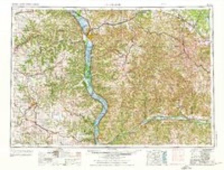
8 topographic sheets cover this place, the earliest surveyed in 1958 and the latest in 1990. It stands in Yucatan Township. It lies in ZIP code area 55943. It lies near Rooster Valley. The Survey maps it on the Yucatan quadrangle. It stands 748 feet above sea level.
Topographic sheets covering this place
7 surveys from 8 printed sheetsMatched by testing this settlement's coordinate against the published boundary of every sheet in the United States Geological Survey's historical collection. Each opens the scanned sheet at the Survey.
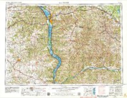
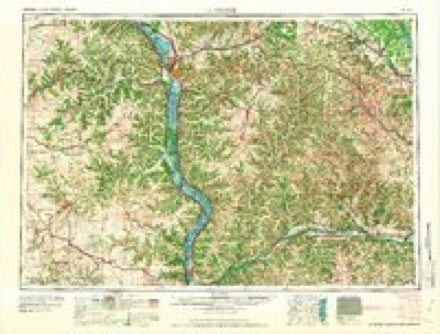
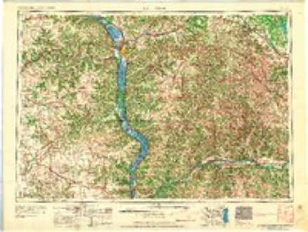
- 1958 USGS La Crosse quadrangle1:250000, 2 printings
- 1961 USGS La Crosse quadrangle1:250000
- 1965 USGS La Crosse quadrangle1:250000
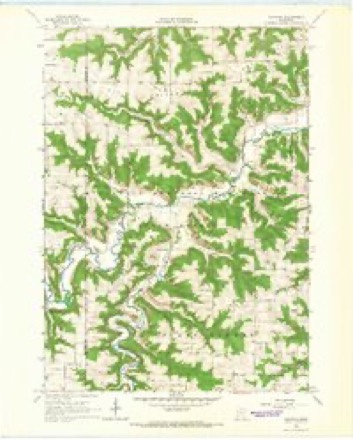
- 1965 USGS Yucatan quadrangle1:24000
- 1976 USGS La Crosse quadrangle1:250000
- 1984 USGS La Crosse quadrangle1:100000
- 1990 USGS La Crosse quadrangle1:100000
In the county-history sources
1,655 words on this townshipHistory of Houston County, Minnesota, published 1919 names this settlement in its chapter on Yucatan Township. These are the passages that mention it, exactly as the scans read.
The first man to set stakes in the territory of Yucatan was Edwin Stevens, who first settled in the southem part, in what is now Black Hammer. It is difficult to fix the exact date, but it was probably in 1852. With the assistance of several Winnebago Indians, he erected a rude log dwelling. He also went down to Decorah and helped build the first mill put up there. In the fall of 1854 he sold out his place and took up his abode in another cabin of ])eculiar construction, it being all roof, and made by splitting basswood logs and piling them in an inverted V shape, with the flat side up, then covering the interstices with another layer in the reverse position, and finally covering the whole with hay. At one end he erected a stone chimney. This cabin was situated in the woods near the South Fork, in close proximity to the present Howe mill in section 23.
Passage source: History of Houston County, Minnesota, published 1919.
In the spring of 1856, when the town site fever was epidemic throughout this region, Mr. Stevens put up another log house on the open land north of his other location, and platted a town of forty acres, north of the road in the southeast of the southeast quarter of section 14, and gave it the name of Yucatan. His reason for selecting this name is not known, but it is possible that it was suggested to him by his own name, and a mental comparison between himself and John L. Stephens, the American traveler and author, then not long deceased, who had traveled and made extensive explorations in Yucatan, Central America, and made the world familiar with its ruined cities of mysterious origin, half buried in the depths of tropical forests. However, this may be, the result of his enterprise was that during the summer the city had five log buildings erected, and reached the pinnacle of its glory. A mill-dam was completed and a saw-mill commenced.
Passage source: History of Houston County, Minnesota, published 1919.
John Adams was a very early settler, while Enoch Gould was the first man in the north part of the town, in the Root River Valley. Mr. Gould was a native of New Hampshire, and came to Yucatan from Fox Lake, Wis., in 1855. His family joined him a year or two later. He took 400 acres of land in sections 33 and 34. He secured a post office on section 33, called Hamilton, which afterwards gave the name to the town that was finally re-named Money Creek.
Passage source: History of Houston County, Minnesota, published 1919.
Machine-read from a century-old scan, so expect the errors a machine makes: misspelled names, dropped words, stray characters.
Read the whole chapter on Yucatan Township - it names this place 2 more 2 times.
Fires near this place
7 since 1993Regional context, not property-specific evidence. The federal wildfire occurrence database lists 7 fires within 5 miles of Yucatan between 1993 and 2009, burning about 38 acres in total. None started naturally. None was recorded as arson. Distance is straight-line from the map coordinates, so a fire counted here may appear on a neighbouring settlement's page as well.
| Reported cause | Fires |
|---|---|
| Debris and open burning | 5 |
| Missing data/not specified/undetermined | 2 |
The most recent of them, most recent first, with the day each was reported and the service that recorded it.
| Date | Cause | Size | Reported by | Name on the report |
|---|---|---|---|---|
| 9 April 2004 | Debris and open burning | under an acre | Minnesota Department of Natural Resources | not named |
| 29 April 1993 | Debris and open burning | under an acre | Minnesota Department of Natural Resources | not named |
| 27 April 2001 | Debris and open burning | under an acre | Minnesota Department of Natural Resources | not named |
| 18 April 1994 | Debris and open burning | 30 acres | Minnesota Department of Natural Resources | not named |
| 16 April 2004 | Missing data/not specified/undetermined | under an acre | Minnesota Department of Natural Resources | not named |
| 11 April 2009 | Missing data/not specified/undetermined | 1.0 acres | Minnesota Department of Natural Resources | not named |
| 19 October 1996 | Debris and open burning | 5.5 acres | Minnesota Department of Natural Resources | not named |
Settlements close enough to share some of these fires:
Mines and quarries near this place
2 within 5 milesRegional context, not property-specific evidence. The federal mineral resources record lists 2 workings within 5 miles of Yucatan: 2 producers. All of them still produce. What was taken out: Stone, Crushed/Broken. Distance is straight-line from the map coordinates, so a quarry counted here may appear on a neighbouring settlement's page as well.
| Where | Site | Commodity | Status | Recorded |
|---|---|---|---|---|
| Cherry Quarry | Stone, Crushed/Broken | Producer | ||
| Muhly Quarry | Stone, Crushed/Broken | Producer |
Storms near this place
1 since 1997Regional context, not property-specific evidence. The National Weather Service names Yucatan in 1 storm report in 1997: 1 thunderstorm wind. No death or injury is recorded in these reports. Each account below is quoted exactly as the forecast office filed it, from the NOAA Storm Events Database, and each date opens the federal record of that event.
| When | Event | Place named | Harm | What the report says |
|---|---|---|---|---|
| June 1997 | Thunderstorm Wind | Yucatan | $1,000 | no account filed |
Nearest settlements
The eight closest, with where each one stands in the county. Distances are straight-line, computed from the Geographic Names Information System coordinates.
| Map | Place | Distance | Sheets |
|---|---|---|---|
| Black Hammer | 4.7 miles | 8 | |
| Sheldon | 5.1 miles | 9 | |
| Schechs Mill | 5.8 miles | 9 | |
| Perkins | 7.5 miles | 10 | |
| Riceford | 7.5 miles | 8 | |
| Houston | 8.6 miles | 10 | |
| Spring Grove | 8.7 miles | 8 | |
| Willington Grove | 9.1 miles | 9 |
Elsewhere
Matched on this settlement's Geographic Names Information System number rather than its name, so it cannot be a different place of the same name in another state.
| Wikipedia article on Yucatan | An encyclopaedic summary. Its text is share-alike, so it is linked here rather than copied. |
| Wikidata item Q8060143 | The structured record the population and elevation above come from. Public domain (CC0). |
Provenance
This settlement is recorded in the Geographic Names Information System as feature 655029. The sheet list is computed by point-in-boundary test against the United States Geological Survey's historical topographic inventory. Both are works of the United States government and carry no copyright under 17 U.S.C. 105.
Wildfire. Short, Karen C. 2022. Spatial wildfire occurrence data for the United States, 1992-2020 [FPA_FOD_20221014]. 6th Edition. Fort Collins, CO: Forest Service Research Data Archive. https://doi.org/10.2737/RDS-2013-0009.6 Collected with United States Government funding and usable without additional permissions or fees.
Mines and quarries. USGS Mineral Resources Data System (MRDS) https://mrdata.usgs.gov/mrds/ A work of the United States government, no copyright under 17 U.S.C. 105.
Storms. NOAA National Centers for Environmental Information, Storm Events Database https://www.ncei.noaa.gov/stormevents/ A work of the United States government, no copyright under 17 U.S.C. 105. Narratives are quoted verbatim from the National Weather Service report and are not edited or summarised.