 Block
Brookline, Missouri
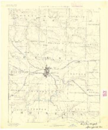
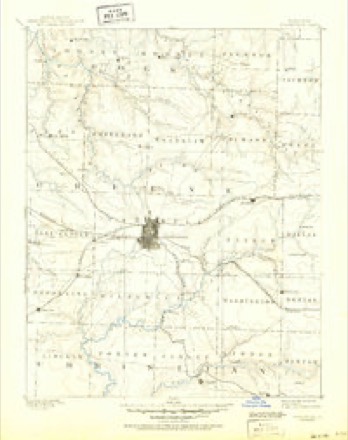
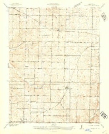
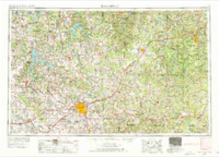
21 topographic sheets cover this place, the earliest surveyed in 1884 and the latest in 1982. It stands in Brookline Township. It lies in ZIP code area 65619. The Survey maps it on the Brookline quadrangle. 326 people lived here at the 2000 count. It stands 1,283 feet above sea level.
Topographic sheets covering this place
8 surveys from 21 printed sheetsMatched by testing this settlement's coordinate against the published boundary of every sheet in the United States Geological Survey's historical collection. Each opens the scanned sheet at the Survey.
- 1884 USGS Springfield quadrangle1:125000
- 1886 USGS Springfield quadrangle1:125000, 5 printings
- 1936 USGS Brookline quadrangle1:24000
- 1954 USGS Springfield quadrangle1:250000, 6 printings
- 1958 USGS Springfield quadrangle1:250000
- 1959 USGS Springfield quadrangle1:250000
- 1960 USGS Brookline quadrangle1:24000, 5 printings
- 1982 USGS Springfield quadrangle1:100000
What happened here
An account from the chapter on Brookline township. The inset identifies its exact source book and publication year.
History Of Greene Countv
Since the completion of the r;iilro;id three men have been killed near Brookline. In 1872, an engineer accidentally shot himself at the Winfield crossing, about one mile and a half north of town. He was on his engine at the time, and seeing some prairie chickens, he caught up his gun to shoot them, when the weapon was accidentally discharged, and the unfortunate man was instantly killed.
In the county-history sources
5,823 words on this townshipHistory of Greene County, Missouri .., published 1883 names this settlement in its chapter on Brookline Township. These are the passages that mention it, exactly as the scans read.
In the northern and western portions of the township there is considerable prairie land, some of which is very excellent, and there are many fine farms. Some of the timbered tracts are rough and unproductive. No doubt there is a gr^at deal of valuable mineral land in this township. In January, 1875, both lead and zinc were discovered a mile south of Brookline. Three men took out a ton and a half of zinc. Considerable mining has been done here and in other parts of the townshi[), and ought to be continued in a more thorough manner and on a more extensive scale. The resources of Brookline township, like those of many another bailiwick in Southwestern Missouri, are ^ery imperfectly developed.
Passage source: History of Greene County, Missouri .., published 1883.
It was on portions of sections 23, 24, 25 and 26, jn township 28, in Brookline township where the battle of Wilson's Creek was fought. Many of the present citizens of the township resided here at that time, and have a vivid recollection of that memorable day.
Passage source: History of Greene County, Missouri .., published 1883.
In congressional township 28 of Brookline, the first settlers were Thomas Hazeltine, who came in about 1834, and settled on section 4 ; John McCall, of Tennessee, who came also to section 4 ; N. D. Mc_ Call, from Tennessee, to section 3 ; Joel Phillips, of Tennessee, to section 2 ; Wm. Herrington to section 9 ; Thomas Dodd, to section 7. John Boyd settled on section 17, and was the first on the prairie in that quarter. Other pioneer settlers were Wm. Kerr, L. Robertson, Ben. Hagewood, Magruder Tannehill, Thomas Dodd, and Henry Small. These settlers came in at different periods, from 1834 to 1849.
Passage source: History of Greene County, Missouri .., published 1883.
Machine-read from a century-old scan, so expect the errors a machine makes: misspelled names, dropped words, stray characters.
Read the whole chapter on Brookline Township - it names this place 20 more 20 times.
Fires near this place
11 since 1992Regional context, not property-specific evidence. The federal wildfire occurrence database lists 11 fires within 5 miles of Brookline between 1992 and 2011, burning about 14 acres in total. None started naturally. 4 were recorded as arson. Distance is straight-line from the map coordinates, so a fire counted here may appear on a neighbouring settlement's page as well.
| Reported cause | Fires |
|---|---|
| Arson/incendiarism | 4 |
| Debris and open burning | 4 |
| Missing data/not specified/undetermined | 2 |
| Smoking | 1 |
The most recent of them, most recent first, with the day each was reported and the service that recorded it.
| Date | Cause | Size | Reported by | Name on the report |
|---|---|---|---|---|
| 7 July 2005 | Missing data/not specified/undetermined | under an acre | Wilson's Creek National Battlefield | WELDON 05 |
| 9 April 2000 | Arson/incendiarism | under an acre | Wilson's Creek National Battlefield | ROAD 182 |
| 28 March 1997 | Missing data/not specified/undetermined | 1.0 acres | Missouri Department of Conservation | not named |
| 14 March 1996 | Arson/incendiarism | 1.1 acres | Wilson's Creek National Battlefield | BEETLE |
| 1 March 1994 | Arson/incendiarism | 2.0 acres | Missouri Department of Conservation | not named |
| 26 February 2006 | Debris and open burning | 1.5 acres | Wilson's Creek National Battlefield | LOGAN 06 |
| 2 February 1992 | Smoking | 2.0 acres | Missouri Department of Conservation | not named |
| 14 February 1994 | Arson/incendiarism | under an acre | Wilson's Creek National Battlefield | NORTH POND |
Settlements close enough to share some of these fires:
Mines and quarries near this place
10 of 12 shownRegional context, not property-specific evidence. The federal mineral resources record lists 12 workings within 5 miles of Brookline: 12 past producers. None of them still produces. What was taken out: Iron, Stone, Crushed/Broken. Distance is straight-line from the map coordinates, so a quarry counted here may appear on a neighbouring settlement's page as well.
| Where | Site | Commodity | Status | Recorded |
|---|---|---|---|---|
| Brown Quarry | Stone, Crushed/Broken | Past Producer | ||
| Unknown | Stone, Crushed/Broken | Past Producer | ||
| Unknown | Stone, Crushed/Broken | Past Producer | ||
| Unknown | Stone, Crushed/Broken | Past Producer | ||
| Unknown | Stone, Crushed/Broken | Past Producer | ||
| Bayliss Land | Iron | Past Producer | ||
| John Jackson Mine | Iron | Past Producer | ||
| Noble Mine | Iron | Past Producer | ||
| Studley Mine - Pit 1 | Iron | Past Producer | ||
| Unknown | Iron | Past Producer |
Storms near this place
23 since 2006Regional context, not property-specific evidence. The National Weather Service names Brookline in 23 storm reports between 2006 and 2025: 8 thunderstorm wind, 6 flash flood, 4 hail, 3 flood. No death or injury is recorded in these reports. Each account below is quoted exactly as the forecast office filed it, from the NOAA Storm Events Database, and each date opens the federal record of that event.
| When | Event | Place named | Harm | What the report says |
|---|---|---|---|---|
| June 2025 | Thunderstorm Wind | Brookline | $25,000 | First Baptist Church Brookline saw significant damage when the roof and siding tore off in winds. |
| June 2025 | Thunderstorm Wind | Brookline | $5,000 | Several large trees were down near mile marker 68 of Interstate 44. |
| May 2019 | Thunderstorm Wind | Brookline | $5,000 | Severe thunderstorm wind gusts downed a tree into some power lines causing power loss to approximately 80 homes in West Springfield. |
| May 2025 | Thunderstorm Wind | Brookline | $500 | Report of branches down. |
| May 2025 | Heavy Rain | Brookline | - | Storm total rainfall amount of 3.72 inches from May 23 through May 27. |
| June 2025 | Thunderstorm Wind | Brookline | - | A 75 mph wind gust was measured at the Missouri agg net weather station in southwest Springfield. |
| May 2023 | Hail | Brookline | - | Dime to penny sized hail was reported. |
| May 2022 | Flash Flood | Brookline | - | A water rescue was performed on Farm Road 156 at a low water area. |
| August 2022 | Thunderstorm Wind | Brookline | - | A personal Davis Weather Station measured a 65 mph wind gust. |
| May 2019 | Heavy Rain | Brookline | - | A CoCoRaHS observer measured a 24 hour rainfall total of 4.05 inches. |
| May 2019 | Thunderstorm Wind | Brookline | - | Several 10 to 12 inch diameter trees were uprooted along Orr Street. |
| February 2018 | Flood | Brookline | - | Farm Road 156 west of West Bypass was closed due to flooding. |
| March 2016 | Flash Flood | Brookline | - | Farm Road 156 was flooded near Wilson's Creek. |
| June 2015 | Flash Flood | Brookline | - | The intersection of Farm Road 156 and Farm Road 97 was impassable due to high water. |
| June 2013 | Flash Flood | Brookline | - | Several high water rescues occurred near the intersection of James River Freeway and Sunshine Road. |
| October 2012 | Thunderstorm Wind | Brookline | - | A 65 mph wind gust was reported at Exit 68 on I-44. |
| February 2011 | Flood | Brookline | - | Farm Road 156 was closed due to high water west of highway FF. |
| September 2010 | Flash Flood | Brookline | - | Wilsons Creek was reported out of its banks and covering Farm Road 156 with six inches of flowing water. |
| May 2010 | Flood | Brookline | - | Continued flooding was reported across County Roads 156, 119, 137 and 164. |
| September 2009 | Flash Flood | Brookline | - | Farm Road 156 flooded on the west side of the bridge over Wilson's Creek. |
| January 2008 | Hail | Brookline | - | Quarter sized hail fell hard enough to temporarily stop traffic on interstate 44. |
| May 2014 | Hail | Brookline | - | no account filed |
| March 2006 | Hail | Brookline | - | no account filed |
Nearest settlements
The eight closest, with where each one stands in the county. Distances are straight-line, computed from the Geographic Names Information System coordinates.
| Map | Place | Distance | Sheets |
|---|---|---|---|
| Haseltine | 3.7 miles | 21 | |
| Battlefield | 3.7 miles | 22 | |
| Republic | 4.4 miles | 20 | |
| Elwood | 4.5 miles | 21 | |
| Yeakley (historical) | 4.6 miles | 21 | |
| Wilsons Creek | 4.6 miles | 20 | |
| Nichols | 4.9 miles | 22 | |
| Yeakley | 5.5 miles | 19 |
Elsewhere
Matched on this settlement's Geographic Names Information System number rather than its name, so it cannot be a different place of the same name in another state.
| Wikipedia article on Brookline | An encyclopaedic summary. Its text is share-alike, so it is linked here rather than copied. |
| Wikidata item Q2015253 | The structured record the population and elevation above come from. Public domain (CC0). |
Provenance
This settlement is recorded in the Geographic Names Information System as feature 735531. The sheet list is computed by point-in-boundary test against the United States Geological Survey's historical topographic inventory. Both are works of the United States government and carry no copyright under 17 U.S.C. 105.
Wildfire. Short, Karen C. 2022. Spatial wildfire occurrence data for the United States, 1992-2020 [FPA_FOD_20221014]. 6th Edition. Fort Collins, CO: Forest Service Research Data Archive. https://doi.org/10.2737/RDS-2013-0009.6 Collected with United States Government funding and usable without additional permissions or fees.
Mines and quarries. USGS Mineral Resources Data System (MRDS) https://mrdata.usgs.gov/mrds/ A work of the United States government, no copyright under 17 U.S.C. 105.
Storms. NOAA National Centers for Environmental Information, Storm Events Database https://www.ncei.noaa.gov/stormevents/ A work of the United States government, no copyright under 17 U.S.C. 105. Narratives are quoted verbatim from the National Weather Service report and are not edited or summarised.