 Block
Chapel Hill, Missouri
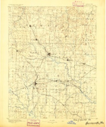
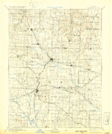
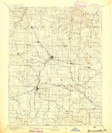
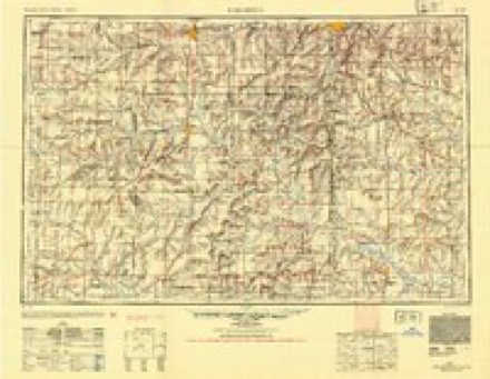
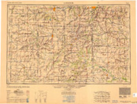
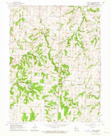
13 topographic sheets cover this place, the earliest surveyed in 1887 and the latest in 1983. It stands in Sni-A-Bar Township. It lies in ZIP code area 64011. The Survey maps it on the Chapel Hill quadrangle.
Topographic sheets covering this place
9 surveys from 13 printed sheetsMatched by testing this settlement's coordinate against the published boundary of every sheet in the United States Geological Survey's historical collection. Each opens the scanned sheet at the Survey.
- 1887 USGS Harrisonville quadrangle1:125000
- 1892 USGS Harrisonville quadrangle1:125000, 2 printings
- 1894 USGS Harrisonville quadrangle1:125000
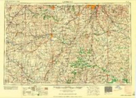
- 1947 USGS Lawrence quadrangle1:250000
- 1950 USGS Lawrence quadrangle1:250000
- 1956 USGS Lawrence quadrangle1:250000, 4 printings
- 1961 USGS Lawrence quadrangle1:250000
- 1963 USGS Chapel Hill quadrangle1:24000
- 1983 USGS Olathe quadrangle1:100000
What happened here
An account from the chapter on Sni-A-Bar township. The inset identifies its exact source book and publication year.
Deeds Of Violence
The following is given by Mr. Eli Adams: In the spring of 1841, Mrs. Mary Scott and her son, King B. Scott, were murdered in this township. Mrs. Scott's body was found in the fire in the house. In the spring of 1843, two years afterward, the body of King B. Scott was found in a branch of the Sni. Suspicion rested upon John C.
In the county-history sources
15,129 words on this townshipHistory of Lafayette County, Mo. , Carefully Written and Compiled from the Most Authentic Official and Private Sources, Including a History of Its Townships, Cities, Towns, and Villages, Together with a Condensed History of Missouri; the Constitution of the United States, and State of Missouri; a Military Record of Volunteers in Either Army of the Great Civil War .., published 1881 names this settlement in its chapter on Sni-A-Bar Township. These are the passages that mention it, exactly as the scans read.
May 4, 1824, Fort Osage township was set off from Sniabar township, which had prior to this extended to the west line of the state. The line then established between the new and the old township was the Big Sniabar. creek from its mouth to its source, near where Chapel Hill now stands, thence south in a straight line to the Osage river.
The first mention of an election in Sinabar township is July 9, 1S22, when Julius Emmons, David Ward and Thos Swift were appointed by the county court to be judges of an election to be held at the place of preaching near Henry Renick's. This election took place in August, and Jesse Hitchcock was elected constable.
February 3, 1823, the name of Sniabar is spelled thus - Sny E. Bairre; and the following record occurs: "We this day allot the within named hands to cut out and keep in repair a road leading from Lexington to intersect the road leading from Jack's Ferry to the salt works, near Jacob Catron's.
Machine-read from a century-old scan, so expect the errors a machine makes: misspelled names, dropped words, stray characters.
Read the whole chapter on Sni-A-Bar Township - it names this place 9 more 9 times.
Fires near this place
27 since 2015Regional context, not property-specific evidence. The federal wildfire occurrence database lists 27 fires within 5 miles of Chapel Hill between 2015 and 2020, burning about 126 acres in total. None started naturally. None was recorded as arson. Distance is straight-line from the map coordinates, so a fire counted here may appear on a neighbouring settlement's page as well.
| Reported cause | Fires |
|---|---|
| Missing data/not specified/undetermined | 17 |
| Debris and open burning | 8 |
| Equipment and vehicle use | 2 |
The most recent of them, most recent first, with the day each was reported and the service that recorded it.
| Date | Cause | Size | Reported by | Name on the report |
|---|---|---|---|---|
| 7 April 2018 | Missing data/not specified/undetermined | under an acre | Missouri Department of Conservation | 176450-05441-04072018-1427 |
| 8 March 2015 | Missing data/not specified/undetermined | 3.0 acres | Missouri Department of Conservation | 119952-05161-03082015-1606 |
| 7 March 2015 | Missing data/not specified/undetermined | under an acre | Missouri Department of Conservation | 119947-05161-03072015-1416 |
| 28 March 2015 | Missing data/not specified/undetermined | under an acre | Missouri Department of Conservation | 121676-05161-03282015-0020 |
| 22 March 2015 | Debris and open burning | under an acre | Missouri Department of Conservation | 121312-05161-03222015-1726 |
| 19 March 2017 | Missing data/not specified/undetermined | 5.0 acres | Missouri Department of Conservation | not named |
| 18 March 2017 | Missing data/not specified/undetermined | 3.0 acres | Missouri Department of Conservation | not named |
| 15 March 2015 | Debris and open burning | under an acre | Missouri Department of Conservation | 121307-05161-03152015-1249 |
Settlements close enough to share some of these fires:
Mines and quarries near this place
6 within 5 milesRegional context, not property-specific evidence. The federal mineral resources record lists 6 workings within 5 miles of Chapel Hill: 5 past producers, 1 producer. 1 still produces. What was taken out: Stone, Crushed/Broken. Distance is straight-line from the map coordinates, so a quarry counted here may appear on a neighbouring settlement's page as well.
| Where | Site | Commodity | Status | Recorded |
|---|---|---|---|---|
| Chapel Hill Quarry | Stone, Crushed/Broken | Past Producer | ||
| Covenant Enterprises | Stone, Crushed/Broken | Producer | ||
| Mitchell Qsuarry | Stone, Crushed/Broken | Past Producer | ||
| Unknown | Stone, Crushed/Broken | Past Producer | ||
| Unknown | Stone, Crushed/Broken | Past Producer | ||
| Unknown - Ls. | Stone, Crushed/Broken | Past Producer |
Storms near this place
9 since 1997Regional context, not property-specific evidence. The National Weather Service names Chapel Hill in 9 storm reports between 1997 and 2019: 4 hail, 3 thunderstorm wind, 1 flash flood, 1 tornado. No death or injury is recorded in these reports. Each account below is quoted exactly as the forecast office filed it, from the NOAA Storm Events Database, and each date opens the federal record of that event.
| When | Event | Place named | Harm | What the report says |
|---|---|---|---|---|
| May 2019 | Tornado (EF0) | Chapel Hill | - | A weak and brief tornado occurred over mainly rural areas of Lafayette County. No damage or injuries were reported. |
| July 2017 | Flash Flood | Chapel Hill | - | Highway TT was impassible near Bates City, due to flash flooding. |
| June 2016 | Thunderstorm Wind | Chapel Hill | - | A few small limbs were blown off of trees and lawn furniture was blown off of the porch at the spotter's location. Power was also out at the location. |
| August 2008 | Thunderstorm Wind | Chapel Hill | - | Trees were reported down. |
| May 1997 | Hail | Chapel Hill | - | Golfball-size hail was reported in a severe thunderstorm just off Z Highway in Chapel Hill. |
| June 2016 | Hail | Chapel Hill | - | no account filed |
| June 2009 | Hail | Chapel Hill | - | no account filed |
| April 2006 | Thunderstorm Wind | Chapel Hill | - | no account filed |
| March 2000 | Hail | Chapel Hill | - | no account filed |
Nearest settlements
The eight closest, with where each one stands in the county. Distances are straight-line, computed from the Geographic Names Information System coordinates.
| Map | Place | Distance | Sheets |
|---|---|---|---|
| Lake Lafayette | 5.0 miles | 18 | |
| Bates City | 6.2 miles | 19 | |
| Odessa | 7.9 miles | 18 | |
| Greenton | 10.3 miles | 17 | |
| Oakland (historical) | 11.9 miles | 19 | |
| Fortyville (historical) | 14.6 miles | 16 | |
| Napoleon | 14.8 miles | 21 | |
| Waterloo | 14.9 miles | 21 |
Provenance
This settlement is recorded in the Geographic Names Information System as feature 739983. The sheet list is computed by point-in-boundary test against the United States Geological Survey's historical topographic inventory. Both are works of the United States government and carry no copyright under 17 U.S.C. 105.
Wildfire. Short, Karen C. 2022. Spatial wildfire occurrence data for the United States, 1992-2020 [FPA_FOD_20221014]. 6th Edition. Fort Collins, CO: Forest Service Research Data Archive. https://doi.org/10.2737/RDS-2013-0009.6 Collected with United States Government funding and usable without additional permissions or fees.
Mines and quarries. USGS Mineral Resources Data System (MRDS) https://mrdata.usgs.gov/mrds/ A work of the United States government, no copyright under 17 U.S.C. 105.
Storms. NOAA National Centers for Environmental Information, Storm Events Database https://www.ncei.noaa.gov/stormevents/ A work of the United States government, no copyright under 17 U.S.C. 105. Narratives are quoted verbatim from the National Weather Service report and are not edited or summarised.