 Block
Waterloo, Missouri
21 topographic sheets cover this place, the earliest surveyed in 1894 and the latest in 1983. It stands in Clay Township. It lies in ZIP code area 64097. The Survey maps it on the Camden quadrangle. It stands 702 feet above sea level.
Topographic sheets covering this place
8 surveys from 21 printed sheetsMatched by testing this settlement's coordinate against the published boundary of every sheet in the United States Geological Survey's historical collection. Each opens the scanned sheet at the Survey.
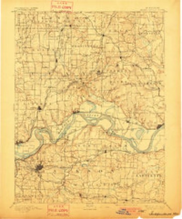
- 1894 USGS Independence quadrangle1:125000, 5 printings
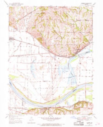
- 1950 USGS Camden quadrangle1:24000, 4 printings
- 1950 USGS Kansas City quadrangle1:250000
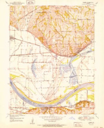
- 1951 USGS Camden quadrangle1:24000, 2 printings
- 1954 USGS Kansas City quadrangle1:250000
- 1956 USGS Kansas City quadrangle1:250000, 4 printings
- 1960 USGS Kansas City quadrangle1:250000, 3 printings
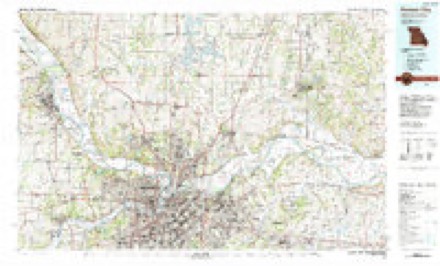
- 1983 USGS Kansas City quadrangle1:100000




What happened here
An account from the chapter on Clay township. The inset identifies its exact source book and publication year.
Dark Deeds
Among the incidents worthy of here being recorded are the following: During the Civil war days James Johnson, who lived at Bates City, was killed by a band of "Kansas Jayhawkers," supposed to have been at the instigation of a negro, whom he had once whipped while acting as constable in his township. The act was forced upon him by law, but the dire spirit of revenge upon the part of the black man caused him to call upon these troops, who took Mr.
In the county-history sources
20,313 words on this townshipHistory of Lafayette County, Mo. , Carefully Written and Compiled from the Most Authentic Official and Private Sources, Including a History of Its Townships, Cities, Towns, and Villages, Together with a Condensed History of Missouri; the Constitution of the United States, and State of Missouri; a Military Record of Volunteers in Either Army of the Great Civil War .., published 1881 names this settlement in its chapter on Clay Township. These are the passages that mention it, exactly as the scans read.
In 1830 a tan vard was established by Hugh McAfFerty, and shortly after a wood vard was opened by Peter and Jacob Wolfe, on the present site of the above named village, which formed a nucleus around which a flourishing settlement grew up. It is located on section 15, township range 2*>. The application for charter was made by Jacob and Peter Wolfe, Isaac Bledsoe, M. Littleton and Catherine Littleton.
W ellington Cumberland Presbyterian Church, was organized about the year 1856 by Elder W. W. Sudduth, Elders Thomas Harbor, Jno. Slade, and J. T. Marshall. The congregation bought one-third interest in the Methodist Episcopal church in the year 1866, for which they paid $600. The building was built in the year 1840 by the M. E. church, south. The present membership of the congregation is about 30 members, the church is alive and has held regular services since its organization.
farmer and stock-raiser, P. O. Napoleon. Was born in Warren county, Missouri, September 7, 1842. His parents were natives of Prussia. Was reared and educated in his native county. September 7, 1865, he was united in marriage to Miss Louisa A. Kallmeyer. They became parents of eight children, six of whom are now living - three sons and three daughters. The eldest, Mary L., was born August 23, 1866. After his marriage he lived in his native county, engaged in general merchandising until 1869, when he moved to Lincoln county, and continued in the same business. In 1S71 he took a stock of goods to Carrollton, Carroll county, where he carried on business for one year, at the expiration of which time he sold out his stock and abandoned the mercantile trade. He then moved to Napoleon, and located on a fine farm of 130 acres, where he now resides, engaged in its cultivation. He also pays considerable attention to the raising of fine stock, bees, etc. He has a fine frame residence with a brick basement, beautifully located on the bank of the Missouri river, at a point which commands a fine view of the surrounding country. His farm contains about twenty-five acres of good tirnber, and an orchard of about 175 bearing trees, besides several others not yet arrived at that stage. Mr. Waestemeyer is an industrious, enterprising business man, possessing the unlimited confidence of the community in which he resides, as indexed to a certain extent by his election to the office of justice of the peace for Clay township, in which capacity he is serving with credit to himself and satisfaction to all.
Machine-read from a century-old scan, so expect the errors a machine makes: misspelled names, dropped words, stray characters.
Fires near this place
4 since 1992Regional context, not property-specific evidence. The federal wildfire occurrence database lists 4 fires within 5 miles of Waterloo between 1992 and 2020, burning about 23 acres in total. None started naturally. None was recorded as arson. Distance is straight-line from the map coordinates, so a fire counted here may appear on a neighbouring settlement's page as well.
| Reported cause | Fires |
|---|---|
| Debris and open burning | 3 |
| Missing data/not specified/undetermined | 1 |
The most recent of them, most recent first, with the day each was reported and the service that recorded it.
| Date | Cause | Size | Reported by | Name on the report |
|---|---|---|---|---|
| 7 April 2014 | Debris and open burning | 3.0 acres | Missouri Department of Conservation | not named |
| 30 April 1992 | Debris and open burning | 2.0 acres | Missouri Department of Conservation | not named |
| 30 April 1992 | Debris and open burning | 1.0 acres | Missouri Department of Conservation | not named |
| 9 January 2020 | Missing data/not specified/undetermined | 17 acres | Missouri Department of Conservation | 179861-08923-01092020-1410 |
Settlements close enough to share some of these fires:
Mines and quarries near this place
4 within 5 milesRegional context, not property-specific evidence. The federal mineral resources record lists 4 workings within 5 miles of Waterloo: 4 past producers. None of them still produces. What was taken out: Stone, Crushed/Broken, Stone, Dimension. Distance is straight-line from the map coordinates, so a quarry counted here may appear on a neighbouring settlement's page as well.
| Where | Site | Commodity | Status | Recorded |
|---|---|---|---|---|
| Breuer Qsuarry | Stone, Dimension | Past Producer | ||
| Prock Quarry | Stone, Crushed/Broken | Past Producer | ||
| Unknown | Stone, Crushed/Broken | Past Producer | ||
| Unknown | Stone, Crushed/Broken | Past Producer |
Nearest settlements
The eight closest, with where each one stands in the county. Distances are straight-line, computed from the Geographic Names Information System coordinates.
| Map | Place | Distance | Sheets |
|---|---|---|---|
| Napoleon | 1.9 miles | 21 | |
| Wellington | 2.7 miles | 17 | |
| Greenton | 6.9 miles | 17 | |
| Myrick | 7.6 miles | 17 | |
| Lexington | 8.9 miles | 17 | |
| Bates City | 9.0 miles | 19 | |
| Odessa | 10.2 miles | 18 | |
| Mayview | 12.1 miles | 16 |
Elsewhere
Matched on this settlement's Geographic Names Information System number rather than its name, so it cannot be a different place of the same name in another state.
| Wikipedia article on Waterloo | An encyclopaedic summary. Its text is share-alike, so it is linked here rather than copied. |
| Wikidata item Q16902997 | The structured record the population and elevation above come from. Public domain (CC0). |
Provenance
This settlement is recorded in the Geographic Names Information System as feature 728406. The sheet list is computed by point-in-boundary test against the United States Geological Survey's historical topographic inventory. Both are works of the United States government and carry no copyright under 17 U.S.C. 105.
Wildfire. Short, Karen C. 2022. Spatial wildfire occurrence data for the United States, 1992-2020 [FPA_FOD_20221014]. 6th Edition. Fort Collins, CO: Forest Service Research Data Archive. https://doi.org/10.2737/RDS-2013-0009.6 Collected with United States Government funding and usable without additional permissions or fees.
Mines and quarries. USGS Mineral Resources Data System (MRDS) https://mrdata.usgs.gov/mrds/ A work of the United States government, no copyright under 17 U.S.C. 105.