 Block
Dover, Missouri
17 topographic sheets cover this place, the earliest surveyed in 1889 and the latest in 1982. It stands in Dover Township. It lies in ZIP code area 64022. The Survey maps it on the Dover quadrangle. 83 people lived here at the 2020 count. It stands 820 feet above sea level.
On record in Dover
Buildings and businesses the archive holds for this place. Each opens its own page, with the source record it came from.
On the National Register 1 record
- James M. Dinwiddie Houselisted 1997
Population over time
2 figuresDover fell from 103 to 83 between 2010 and 2020. These are the recorded population figures Wikidata holds for this place, reached through the Geographic Names Information System number this page is keyed on rather than by name, so they belong to this place and not to another of the same name. Most are census counts, but not all are: an early figure may be a founding or settlement estimate, and an estimate published within five years of a census is left out. The change column is computed, and is left blank where more than 20 years separate a figure from the one before it, because a gap that long is not a change between two counts.
| Year | People | Change |
|---|---|---|
| 2010 | 103 | |
| 2020 | 83 | -20 (-19%) |
Topographic sheets covering this place
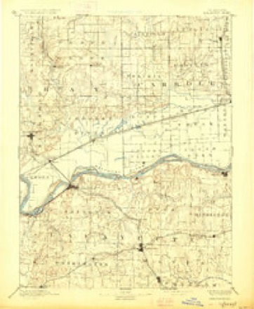
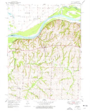
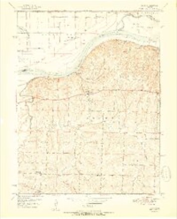
8 surveys from 17 printed sheetsMatched by testing this settlement's coordinate against the published boundary of every sheet in the United States Geological Survey's historical collection. Each opens the scanned sheet at the Survey.
- 1889 USGS Lexington quadrangle1:125000, 6 printings
- 1950 USGS Dover quadrangle1:24000, 2 printings
- 1951 USGS Dover quadrangle1:24000, 2 printings
- 1953 USGS Moberly quadrangle1:250000
- 1954 USGS Moberly quadrangle1:250000, 3 printings
- 1957 USGS Moberly quadrangle1:250000
- 1960 USGS Moberly quadrangle1:250000
- 1982 USGS Marshall quadrangle1:100000




In the county-history sources
19,492 words on this townshipHistory of Lafayette County, Mo. , Carefully Written and Compiled from the Most Authentic Official and Private Sources, Including a History of Its Townships, Cities, Towns, and Villages, Together with a Condensed History of Missouri; the Constitution of the United States, and State of Missouri; a Military Record of Volunteers in Either Army of the Great Civil War .., published 1881 names this settlement in its chapter on Dover Township. These are the passages that mention it, exactly as the scans read.
The first mention of Dover township occurs February 5, 1836, when it was ordered by the county court " that Tabo township be hereafter known and designated by the name and style of Dover township." This was only a small remnant of the original Tabo township, and comprised the most of the territory now embraced in Dover and Middleton townships. The boundaries of the newly named township are not given; but it is at this date laid off into eight road districts, with numbers and overseers as follows:
The first mention of schools occurs May 4, 1840. A majority of the voters of Dover township had petitioned to be organized in accordance with an act of the legislature, entitled " an act to provide for the organization, support, and government of common schools," approved February 9, 1839. The county court appointed Joseph W. Hall, Nathaniel Davidson, and Hubbell Foster, school directors for the township; and the first school meeting was to be held at the town of Dover, July 23, following.
July 4, 1848, new boundaries for Dover township were established, as follows: " Commencing at the mouth of Tabo creek, in the middle of the main channel thereof, where the same empties into the Missouri river, thence up said creek with the middle of the main channel thereof, to where the same crosses the township line between townships No. 49 and 50 in range No. 26; thence east with said township line to where the same intersects the range line between ranges 24 and 25; thence with said range line north to the. Missouri river; thence with said river to the place of beginning." And so the boundaries remain to the present time, 1881.
Machine-read from a century-old scan, so expect the errors a machine makes: misspelled names, dropped words, stray characters.
Read the whole chapter on Dover Township - it names this place 60 more 60 times.
Mines and quarries near this place
3 within 5 milesRegional context, not property-specific evidence. The federal mineral resources record lists 3 workings within 5 miles of Dover: 3 past producers. None of them still produces. What was taken out: Stone, Crushed/Broken. Distance is straight-line from the map coordinates, so a quarry counted here may appear on a neighbouring settlement's page as well.
Storms near this place
6 since 2000Regional context, not property-specific evidence. The National Weather Service names Dover in 6 storm reports between 2000 and 2020: 2 flash flood, 2 hail, 1 thunderstorm wind, 1 flood. No death or injury is recorded in these reports. Each account below is quoted exactly as the forecast office filed it, from the NOAA Storm Events Database, and each date opens the federal record of that event.
| When | Event | Place named | Harm | What the report says |
|---|---|---|---|---|
| May 2000 | Thunderstorm Wind | Dover | $10,000 | Power lines were downed near Dover. |
| July 2020 | Flood | Dover | - | Missouri Department of Transportation reported Highway 213 closed at Little Talbot Creek due to flooding. |
| July 2008 | Flash Flood | Dover | - | Water was reported over Highway 213, between Highways 24 and 20, as well as as over Highway 224, west of Lexington. |
| May 2002 | Flash Flood | Dover | - | Highway P closed due to high water. |
| August 2017 | Hail | Dover | - | no account filed |
| May 2003 | Hail | Dover | - | no account filed |
Nearest settlements
The eight closest, with where each one stands in the county. Distances are straight-line, computed from the Geographic Names Information System coordinates.
| Map | Place | Distance | Sheets |
|---|---|---|---|
| Dover Station | 1.2 miles | 17 | |
| Tabeau | 2.1 miles | 17 | |
| Hodge | 3.8 miles | 17 | |
| Cuba (historical) | 4.4 miles | 17 | |
| Page City | 5.1 miles | 17 | |
| Corder | 7.0 miles | 15 | |
| Simpson | 8.3 miles | 15 | |
| Higginsville | 8.5 miles | 15 |
Elsewhere
Matched on this settlement's Geographic Names Information System number rather than its name, so it cannot be a different place of the same name in another state.
| Wikipedia article on Dover | An encyclopaedic summary. Its text is share-alike, so it is linked here rather than copied. |
| Wikidata item Q967091 | The structured record the population and elevation above come from. Public domain (CC0). |
Provenance
This settlement is recorded in the Geographic Names Information System as feature 717020. The sheet list is computed by point-in-boundary test against the United States Geological Survey's historical topographic inventory. Both are works of the United States government and carry no copyright under 17 U.S.C. 105.
Mines and quarries. USGS Mineral Resources Data System (MRDS) https://mrdata.usgs.gov/mrds/ A work of the United States government, no copyright under 17 U.S.C. 105.
Storms. NOAA National Centers for Environmental Information, Storm Events Database https://www.ncei.noaa.gov/stormevents/ A work of the United States government, no copyright under 17 U.S.C. 105. Narratives are quoted verbatim from the National Weather Service report and are not edited or summarised.