 Block
Corder, Missouri
15 topographic sheets cover this place, the earliest surveyed in 1889 and the latest in 1982. It stands in Dover Township. It lies in ZIP code area 64021. The Survey maps it on the Higginsville quadrangle. 418 people lived here at the 2020 count. It stands 866 feet above sea level.
Population over time
2 figuresCorder grew from 404 to 418 between 2010 and 2020. These are the recorded population figures Wikidata holds for this place, reached through the Geographic Names Information System number this page is keyed on rather than by name, so they belong to this place and not to another of the same name. Most are census counts, but not all are: an early figure may be a founding or settlement estimate, and an estimate published within five years of a census is left out. The change column is computed, and is left blank where more than 20 years separate a figure from the one before it, because a gap that long is not a change between two counts.
| Year | People | Change |
|---|---|---|
| 2010 | 404 | |
| 2020 | 418 | +14 (+3%) |
Topographic sheets covering this place
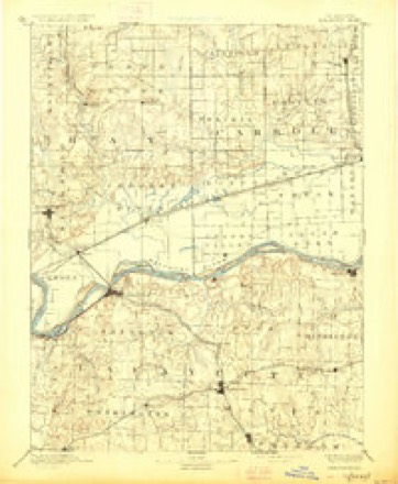
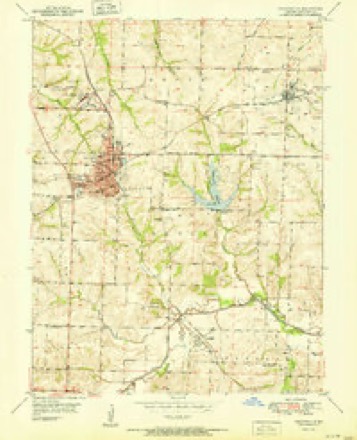
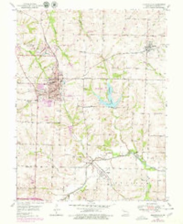
8 surveys from 15 printed sheetsMatched by testing this settlement's coordinate against the published boundary of every sheet in the United States Geological Survey's historical collection. Each opens the scanned sheet at the Survey.
- 1889 USGS Lexington quadrangle1:125000, 6 printings
- 1951 USGS Higginsville quadrangle1:24000
- 1953 USGS Moberly quadrangle1:250000
- 1954 USGS Moberly quadrangle1:250000, 3 printings
- 1957 USGS Moberly quadrangle1:250000
- 1959 USGS Higginsville quadrangle1:24000
- 1960 USGS Moberly quadrangle1:250000
- 1982 USGS Marshall quadrangle1:100000




In the county-history sources
19,492 words on this townshipHistory of Lafayette County, Mo. , Carefully Written and Compiled from the Most Authentic Official and Private Sources, Including a History of Its Townships, Cities, Towns, and Villages, Together with a Condensed History of Missouri; the Constitution of the United States, and State of Missouri; a Military Record of Volunteers in Either Army of the Great Civil War .., published 1881 names this settlement in its chapter on Dover Township. These are the passages that mention it, exactly as the scans read.
Corder is a station on the Chicago & Alton Railroad in Dover township, and was laid out in 1878 and incorporated in 1881. The first mayor was G. W. Neithercut. The post office was established in 1878 with W. J. Leise as post master. He also built the first house, and owned the first store in the town. The first physician, was Dr. Lewis Carthrae, who had practiced in the county before [coming to this place. The first religious service was held in the school house by the Baptists. The first minister was Edward Roth, of the Baptist church. The present officers are Geo. Neithercut, mayor; Henry Leise, marshal; Dr. Lewis Cathrae, L. Ambruster, H. F. Kleinmuck, J. W. Dean, council.
JVieaPs Cha-pcl, Corder, was organized in 1870. The names of the original members were Lewis Neal, and family, W. Barley and some ten or fifteen others. The first church building was erected in 1870, and is of frame, at a cost of $4,000. It was dedicated in 1S71 by Bishop Marvin. Their pastors have been J. C. Shackleford, M. Atkinson, W. F. Camp, B. Margason, R. H. Laffer, W. T*. Brown and W. B. McFarland. The number of the present membership about 100. The church since its organization has been situated about half mile from Corder, but is now being removed to Corder.
Corder Grange was instituted by Thomas Allen, in the year 1881. Nathan Corder, F. S. Burton, John Board, L. Frazier, S. B. Shrader, Chas. Burton, Wm. Corder, H. S. Huffman, Mack Avitt, F. M. Burton, Morton Hilliard, J. C. Board, Chas. Shrader, Mrs. F. S. Burton, Mrs. Geo. Corder, Miss Dora Frazier, Miss Zoah Avitt and Miss R. Corder were charter members, and the first officers, were Nathan Corder, W. M. : F. S. Burton, Overseer; John Board, Lecturer; S. B. Shrader, Chaplin; Wm. Corder, Treasurer; Chas. Shrader, Secretary; L. Frazier, Steward; Chas. Burton, Assistant Stewart; H. S. Huffman, Gate Keeper; Miss R. Corder, Pomona; Dora Frazier, Ceres; Mrs. Geo. Corder, Flora, Miss Zoah Avitt, Assistant Steward. The number of present membership is eighteen.
Machine-read from a century-old scan, so expect the errors a machine makes: misspelled names, dropped words, stray characters.
Read the whole chapter on Dover Township - it names this place 19 more 19 times.
Fires near this place
13 since 2014Regional context, not property-specific evidence. The federal wildfire occurrence database lists 13 fires within 5 miles of Corder between 2014 and 2020, burning about 116 acres in total. None started naturally. None was recorded as arson. Distance is straight-line from the map coordinates, so a fire counted here may appear on a neighbouring settlement's page as well.
| Reported cause | Fires |
|---|---|
| Missing data/not specified/undetermined | 9 |
| Debris and open burning | 3 |
| Equipment and vehicle use | 1 |
The most recent of them, most recent first, with the day each was reported and the service that recorded it.
| Date | Cause | Size | Reported by | Name on the report |
|---|---|---|---|---|
| 12 August 2015 | Missing data/not specified/undetermined | 1.0 acres | Missouri Department of Conservation | 129855-05438-08122015-1300 |
| 4 July 2018 | Missing data/not specified/undetermined | under an acre | Missouri Department of Conservation | 178149-05438-07042018-1613 |
| 24 June 2017 | Missing data/not specified/undetermined | 1.0 acres | Missouri Department of Conservation | not named |
| 8 April 2019 | Missing data/not specified/undetermined | 59 acres | Missouri Department of Conservation | 178627-05438-04082019-2253 |
| 10 April 2014 | Missing data/not specified/undetermined | 45 acres | Missouri Department of Conservation | not named |
| 25 March 2016 | Missing data/not specified/undetermined | 2.0 acres | Missouri Department of Conservation | 139131-02459-03252016-1545 |
| 15 March 2018 | Debris and open burning | under an acre | Missouri Department of Conservation | 178154-05438-03152018-1451 |
| 29 February 2020 | Missing data/not specified/undetermined | under an acre | Missouri Department of Conservation | 251174-05438-02292020-1418 |
Settlements close enough to share some of these fires:
Mines and quarries near this place
2 within 5 milesRegional context, not property-specific evidence. The federal mineral resources record lists 2 workings within 5 miles of Corder: 2 past producers. None of them still produces. What was taken out: Stone, Crushed/Broken. Distance is straight-line from the map coordinates, so a quarry counted here may appear on a neighbouring settlement's page as well.
| Where | Site | Commodity | Status | Recorded |
|---|---|---|---|---|
| Hoefer Qsuarry | Stone, Crushed/Broken | Past Producer | ||
| Unknown | Stone, Crushed/Broken | Past Producer |
Storms near this place
7 since 1995Regional context, not property-specific evidence. The National Weather Service names Corder in 7 storm reports between 1995 and 2015: 4 thunderstorm wind, 2 hail, 1 tornado. No death or injury is recorded in these reports. Each account below is quoted exactly as the forecast office filed it, from the NOAA Storm Events Database, and each date opens the federal record of that event.
| When | Event | Place named | Harm | What the report says |
|---|---|---|---|---|
| May 2003 | Tornado (F2) | Corder | $500,000 | Tornado reported near Corder and tracked northeast into Saline county. destoyed a machine shed, house with grain bins damaged along with a dairy barn. |
| May 1999 | Thunderstorm Wind | Corder | $25,000 | A mobile home was destroyed in Corder. |
| June 2005 | Thunderstorm Wind | Corder | $1,000 | Power lines and tree limbs down. |
| May 1995 | Thunderstorm Wind | Corder | - | A severe thunderstorm dropped up to golfball size hail on Bates City, and then went on to develop 2 weak tornadoes. The first tornado touched down south of Bates City at 1820 CST and was crossing Interstate 70 3 miles west of Odessa at 1831 CST. Only minor tree damage was reported. It then lifted north of Odessa. A second touchdown occurred about 5 miles northwest of Higginsville at 1845 CST. The track took it across State Route 13 5 miles northwest of Higginsville near the Tabo Creek bridge at 1900 CST. At 1905 CST, the tornado crossed Route 213 3 miles southwest of Dover, and then lifted 1 mile southwest of Dover at 1906 CST. A house along state Route 13, 6 miles southeast of the junction with Route E, had shingles removed from the roof as the funnel apparently lifted as it passed overhead. Eyewitnesses reported that the tornado bounced up and down as it continued on a path about 4.5 miles to the east-northeast. The damage path varied from about 30 to 40 yards wide, with most of the path over cultivated farm fields. Most damage was minimal, but the most significant damage occurred at the Humfeldt farm 2.6 miles south of U.S. Route 24 along state Route 213. A corrugated steel equipment building was destroyed when the south and west walls were blown in, and the roof was partially peeled off. There was only minor damage to the equipment inside. The tornado passed to the south of the house and garage, missing them by 25 feet. Only one shutter was blown off of the upper floor of the house with no other damage. Mud was splattered on all four sides of both the house and garage. The tornado was photographed as it was dissipating, in its rope stage between 1901 and 1906 CST. In addition, tree damage occurred in Corder with the gust front ahead of the parent thunderstorm. |
| July 2015 | Hail | Corder | - | no account filed |
| May 2003 | Hail | Corder | - | no account filed |
| May 2002 | Thunderstorm Wind | Corder | - | no account filed |
Nearest settlements
The eight closest, with where each one stands in the county. Distances are straight-line, computed from the Geographic Names Information System coordinates.
| Map | Place | Distance | Sheets |
|---|---|---|---|
| Higginsville | 4.4 miles | 15 | |
| Alma | 5.1 miles | 16 | |
| Page City | 5.2 miles | 17 | |
| Simpson | 5.9 miles | 15 | |
| Aullville | 5.9 miles | 15 | |
| Dover | 7.0 miles | 17 | |
| Dover Station | 8.2 miles | 17 | |
| Cuba (historical) | 8.4 miles | 17 |
Elsewhere
Matched on this settlement's Geographic Names Information System number rather than its name, so it cannot be a different place of the same name in another state.
| Wikipedia article on Corder | An encyclopaedic summary. Its text is share-alike, so it is linked here rather than copied. |
| Wikidata item Q963909 | The structured record the population and elevation above come from. Public domain (CC0). |
Provenance
This settlement is recorded in the Geographic Names Information System as feature 716308. The sheet list is computed by point-in-boundary test against the United States Geological Survey's historical topographic inventory. Both are works of the United States government and carry no copyright under 17 U.S.C. 105.
Wildfire. Short, Karen C. 2022. Spatial wildfire occurrence data for the United States, 1992-2020 [FPA_FOD_20221014]. 6th Edition. Fort Collins, CO: Forest Service Research Data Archive. https://doi.org/10.2737/RDS-2013-0009.6 Collected with United States Government funding and usable without additional permissions or fees.
Mines and quarries. USGS Mineral Resources Data System (MRDS) https://mrdata.usgs.gov/mrds/ A work of the United States government, no copyright under 17 U.S.C. 105.
Storms. NOAA National Centers for Environmental Information, Storm Events Database https://www.ncei.noaa.gov/stormevents/ A work of the United States government, no copyright under 17 U.S.C. 105. Narratives are quoted verbatim from the National Weather Service report and are not edited or summarised.