 Block
Forbes, Missouri
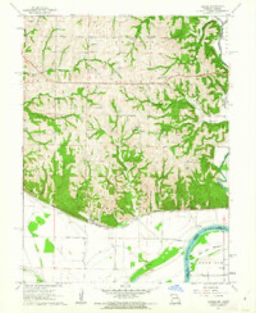
24 topographic sheets cover this place, the earliest surveyed in 1885 and the latest in 1990. It stands in Forbes Township. It lies in ZIP code area 64473. It stands on Dyer Branch. The Survey maps it on the Forbes quadrangle.
Topographic sheets covering this place
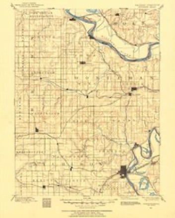
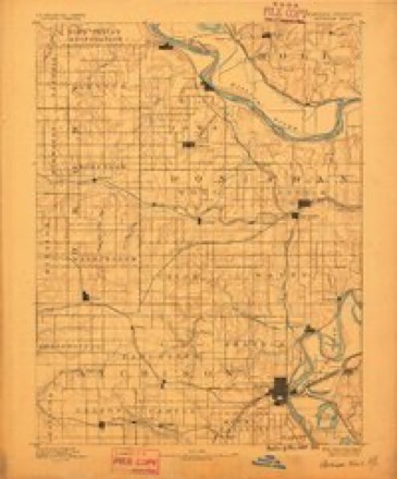
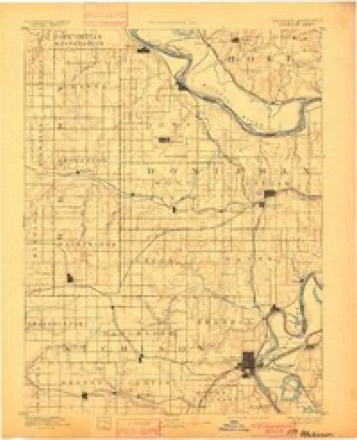
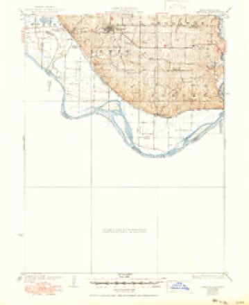
11 surveys from 24 printed sheetsMatched by testing this settlement's coordinate against the published boundary of every sheet in the United States Geological Survey's historical collection. Each opens the scanned sheet at the Survey.
- 1885 USGS Atchison quadrangle1:125000
- 1888 USGS Atchison quadrangle1:125000
- 1893 USGS Atchison quadrangle1:125000, 5 printings
- 1926 USGS Oregon quadrangle1:62500, 3 printings
- 1950 USGS Kansas City quadrangle1:250000
- 1954 USGS Kansas City quadrangle1:250000
- 1956 USGS Kansas City quadrangle1:250000, 4 printings
- 1960 USGS Kansas City quadrangle1:250000, 3 printings
- 1961 USGS Forbes quadrangle1:24000, 3 printings
- 1985 USGS Atchison quadrangle1:100000
- 1990 USGS Atchison quadrangle1:100000




What happened here
An account from the chapter on Forbes township. The inset identifies its exact source book and publication year.
Indian Scare
It is related that the first born of Holt experienced, in early infancy, a narrow escape from the consequences of what proved to be a groundless terror on the part of a number of the community of settlers: It appears that one Vesser, an itinerant trader, had killed an Indian in a remote part of the county, and an undue apprehension, on the part of the small band of settlers had been awakened, that the Indians would wreak their vengeance upon them.
In the county-history sources
9,277 words on this townshipHolt County, Its Soil, Climate, and the Advantages It Offers to Immigration .., published 1869 names this settlement in its chapter on Forbes Township. These are the passages that mention it, exactly as the scans read.
Forbes is the name of a Station on the Eaili-oad, in the Sou;^- ern portion of the County. Xo town has been laid out here, as yet ; but from the fact that North of this point is a fertile and well settled country, it is not unlikely that quite a village will one day spring up here. For fruit raising, no portion of Holt County offers better inducements than does the vicinity of Forbes.
Passage source: Holt County, Its Soil, Climate, and the Advantages It Offers to Immigration .., published 1869.
Whig Valley is the name of a settlement in the North-eastern portion of Holt County, and is one of the most attractive settlements in the North-west. The population is intelligent and enterprising to an extraordinary degree, wldle the soil, surface, topography and general advantages are all that could be desired. Several Schools are in operation. A Farmers' Club holds regular meetings, and Church organizations exist, which hold weekl}' meetings for
Passage source: Holt County, Its Soil, Climate, and the Advantages It Offers to Immigration .., published 1869.
The religious element in our society is quite strong. Most of the denominations known to the Christian world, have representatives here. It is probable that the North Methodist. - so called here to distinguish them from the Methodist Church South - has the largest number of communicants, though there is but little difference in point of numbers between them and the Baptist.
Passage source: Holt County, Its Soil, Climate, and the Advantages It Offers to Immigration .., published 1869.
Machine-read from a century-old scan, so expect the errors a machine makes: misspelled names, dropped words, stray characters.
Read the whole chapter on Forbes Township - it names this place 19 more 19 times.
Fires near this place
1 since 2011Regional context, not property-specific evidence. The federal wildfire occurrence database lists 1 fire within 5 miles of Forbes in 2011, burning about 15 acres in total. None started naturally. 1 was recorded as arson. Distance is straight-line from the map coordinates, so a fire counted here may appear on a neighbouring settlement's page as well.
| Reported cause | Fires |
|---|---|
| Arson/incendiarism | 1 |
The most recent of them, most recent first, with the day each was reported and the service that recorded it.
| Date | Cause | Size | Reported by | Name on the report |
|---|---|---|---|---|
| 1 November 2011 | Arson/incendiarism | 15 acres | Missouri Department of Conservation | not named |
Settlements close enough to share some of these fires:
Mines and quarries near this place
10 of 21 shownRegional context, not property-specific evidence. The federal mineral resources record lists 21 workings within 5 miles of Forbes: 19 past producers, 2 unknowns. None of them still produces. What was taken out: Stone, Crushed/Broken, Sand and Gravel, Construction. Distance is straight-line from the map coordinates, so a quarry counted here may appear on a neighbouring settlement's page as well.
| Where | Site | Commodity | Status | Recorded |
|---|---|---|---|---|
| Unk | Sand and Gravel, Construction | Past Producer | ||
| Unk | Stone, Crushed/Broken | Past Producer | ||
| Unk | Stone, Crushed/Broken | Past Producer | ||
| Unk | Stone, Crushed/Broken | Past Producer | ||
| Unk | Stone, Crushed/Broken | Past Producer | ||
| Unk | Stone, Crushed/Broken | Past Producer | ||
| Unk | Stone, Crushed/Broken | Unknown | ||
| Unk | Stone, Crushed/Broken | Past Producer | ||
| Unk | Stone, Crushed/Broken | Unknown | ||
| Unk | Stone, Crushed/Broken | Past Producer |
Storms near this place
4 since 1998Regional context, not property-specific evidence. The National Weather Service names Forbes in 4 storm reports between 1998 and 2022: 2 hail, 2 thunderstorm wind. No death or injury is recorded in these reports. Each account below is quoted exactly as the forecast office filed it, from the NOAA Storm Events Database, and each date opens the federal record of that event.
| When | Event | Place named | Harm | What the report says |
|---|---|---|---|---|
| April 2022 | Thunderstorm Wind | Forbes | - | The damage occurred near Forbes (S of Oregon). Several grain bins were destroyed followed by some turned over semis and a destroyed Morton building. Another newer building was also damaged. |
| April 2022 | Thunderstorm Wind | Forbes | - | This was a delayed report of damage to a roof of a house and shed. The debris was strewn about the property. |
| June 1998 | Hail | Forbes | - | Dime-size hail was reported by the public during a severe thunderstorm at Forbes. |
| May 2000 | Hail | Forbes | - | no account filed |
Nearest settlements
The eight closest, with where each one stands in the county. Distances are straight-line, computed from the Geographic Names Information System coordinates.
| Map | Place | Distance | Sheets |
|---|---|---|---|
| Curzon | 4.5 miles | 23 | |
| Richville | 6.3 miles | 24 | |
| Oregon | 6.7 miles | 23 | |
| Forest City | 8.0 miles | 23 | |
| Nichols Grove | 8.1 miles | 11 | |
| New Point | 10.5 miles | 11 | |
| Napier | 13.7 miles | 13 | |
| Campbell Corner | 15.7 miles | 11 |
Provenance
This settlement is recorded in the Geographic Names Information System as feature 718056. The sheet list is computed by point-in-boundary test against the United States Geological Survey's historical topographic inventory. Both are works of the United States government and carry no copyright under 17 U.S.C. 105.
Wildfire. Short, Karen C. 2022. Spatial wildfire occurrence data for the United States, 1992-2020 [FPA_FOD_20221014]. 6th Edition. Fort Collins, CO: Forest Service Research Data Archive. https://doi.org/10.2737/RDS-2013-0009.6 Collected with United States Government funding and usable without additional permissions or fees.
Mines and quarries. USGS Mineral Resources Data System (MRDS) https://mrdata.usgs.gov/mrds/ A work of the United States government, no copyright under 17 U.S.C. 105.
Storms. NOAA National Centers for Environmental Information, Storm Events Database https://www.ncei.noaa.gov/stormevents/ A work of the United States government, no copyright under 17 U.S.C. 105. Narratives are quoted verbatim from the National Weather Service report and are not edited or summarised.