 Block
Galloway, Missouri
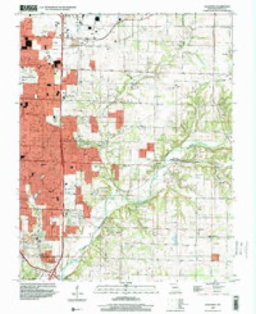
28 topographic sheets cover this place, the earliest surveyed in 1884 and the latest in 1996. It stands in Springfield Township. It lies in ZIP code area 65804. It stands on Sequiota Spring Branch. The Survey maps it on the Galloway quadrangle.
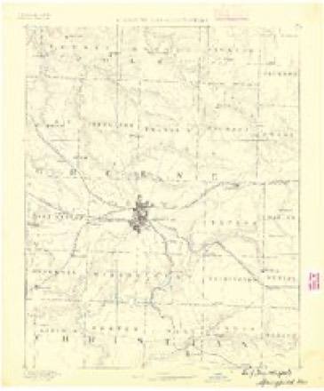
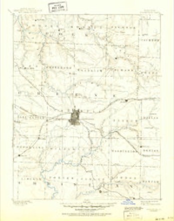
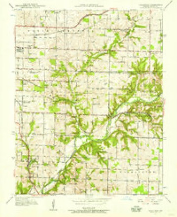
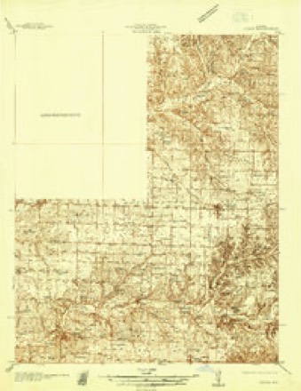
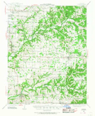
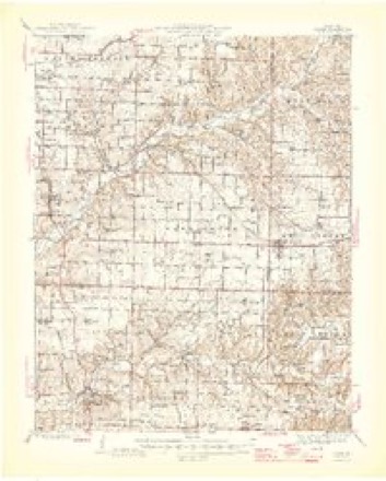
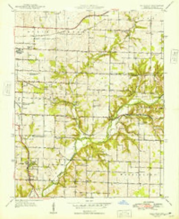
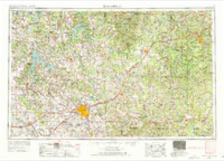
Topographic sheets covering this place
13 surveys from 28 printed sheetsMatched by testing this settlement's coordinate against the published boundary of every sheet in the United States Geological Survey's historical collection. Each opens the scanned sheet at the Survey.
- 1884 USGS Springfield quadrangle1:125000
- 1886 USGS Springfield quadrangle1:125000, 5 printings
- 1937 USGS Galloway quadrangle1:24000, 2 printings
- 1937 USGS Ozark quadrangle1:48000
- 1943 USGS Ozark quadrangle1:62500
- 1945 USGS Ozark quadrangle1:62500, 2 printings
- 1948 USGS Galloway quadrangle1:24000, 2 printings
- 1954 USGS Springfield quadrangle1:250000, 6 printings
- 1958 USGS Springfield quadrangle1:250000
- 1959 USGS Springfield quadrangle1:250000
- 1960 USGS Galloway quadrangle1:24000, 4 printings
- 1982 USGS Springfield quadrangle1:100000
- 1996 USGS Galloway quadrangle1:24000
In the county-history sources
41,758 words on this townshipPersonal Reminiscences and Fragments of the Early History of Springfield and Greene County, Missouri : Related by Pioneers and Their Descendants at Old Settlers' Dinners Given at the Home of Capt. Martin J. Hubble, March 31, 1907, 1908, 1909, 1910, 1911, published 1914 names this settlement in its chapter on Springfield Township. These are the passages that mention it, exactly as the scans read.
In those days we went to Cason's Mil], where the James River bridge is now located near Galloway. The Yoakum mill was then in existence, but there was no mill at the Jones Spring at that time. Old Uncle Bennie Bashears at Beaver Gap had a corn cracker, which consisted of two little stones of about a foot or 18 inches across, and those old stones were lying about there in that neighborhood a few years ago. But neither the Fulbright nor the mill at Jones Spring had been built at that time. The Cason Mill is the oldest mill that I know of. The next mill to be built was at the Jones Spring and also the Lawson Fulbright Mill.
Passage source: Personal Reminiscences and Fragments of the Early History of Springfield and Greene County, Missouri : Related by Pioneers and Their Descendants at Old Settlers' Dinners Given at the Home of Capt. Martin J. Hubble, March 31, 1907, 1908, 1909, 1910, 1911, published 1914.
Machine-read from a century-old scan, so expect the errors a machine makes: misspelled names, dropped words, stray characters.
Fires near this place
66 since 1992Regional context, not property-specific evidence. The federal wildfire occurrence database lists 66 fires within 5 miles of Galloway between 1992 and 2017, burning about 116 acres in total. 1 started naturally. 1 was recorded as arson. Distance is straight-line from the map coordinates, so a fire counted here may appear on a neighbouring settlement's page as well.
| Reported cause | Fires |
|---|---|
| Debris and open burning | 38 |
| Missing data/not specified/undetermined | 14 |
| Equipment and vehicle use | 8 |
| Smoking | 3 |
| Recreation and ceremony | 1 |
| Arson/incendiarism | 1 |
| Natural | 1 |
The most recent of them, most recent first, with the day each was reported and the service that recorded it.
| Date | Cause | Size | Reported by | Name on the report |
|---|---|---|---|---|
| 10 September 1999 | Smoking | 1.0 acres | Missouri Department of Conservation | not named |
| 1 September 2011 | Debris and open burning | 1.0 acres | Missouri Department of Conservation | not named |
| 28 August 1995 | Smoking | 1.0 acres | Missouri Department of Conservation | not named |
| 24 August 2003 | Missing data/not specified/undetermined | under an acre | Missouri State Fire Marshal's Office | not named |
| 23 August 1995 | Debris and open burning | 1.0 acres | Missouri Department of Conservation | not named |
| 21 August 1999 | Debris and open burning | 10 acres | Missouri Department of Conservation | not named |
| 21 August 1999 | Debris and open burning | 1.0 acres | Missouri Department of Conservation | not named |
| 8 July 1997 | Missing data/not specified/undetermined | 1.0 acres | Missouri Department of Conservation | not named |
Settlements close enough to share some of these fires:
Mines and quarries near this place
10 of 44 shownRegional context, not property-specific evidence. The federal mineral resources record lists 44 workings within 5 miles of Galloway: 38 past producers, 4 producers, 2 prospects. 4 still produce. What was taken out: Zinc, Stone, Crushed/Broken, Lead, Zinc. Distance is straight-line from the map coordinates, so a quarry counted here may appear on a neighbouring settlement's page as well.
| Where | Site | Commodity | Status | Recorded |
|---|---|---|---|---|
| Gem Mine | Lead, Zinc | Past Producer | ||
| Phelps Mines | Lead, Zinc | Past Producer | ||
| Unknown | Lead, Zinc | Past Producer | ||
| Unknown | Lead, Zinc | Past Producer | ||
| Wolverine Shaft Number Three | Lead, Zinc | Past Producer | ||
| Ash Grove Cement Co - Plant | Stone, Crushed/Broken | Producer | Surface | |
| Ash Grove Mine | Stone, Crushed/Broken | Producer | ||
| Ash Grove Quarry | Stone, Crushed/Broken | Producer | ||
| Bennett Quarry | Stone, Crushed/Broken | Past Producer | ||
| Midland Quarry and Mill | Stone, Crushed/Broken | Producer |
Storms near this place
9 since 2010Regional context, not property-specific evidence. The National Weather Service names Galloway in 9 storm reports between 2010 and 2026: 5 flash flood, 3 hail, 1 heavy rain. No death or injury is recorded in these reports. Each account below is quoted exactly as the forecast office filed it, from the NOAA Storm Events Database, and each date opens the federal record of that event.
| When | Event | Place named | Harm | What the report says |
|---|---|---|---|---|
| April 2017 | Flash Flood | Galloway | $500,000 | Several homes and business sustained flood damage across Greene County. Several homes had flooded basements. This report will contain the total dollar estimate for flood damage to infrastructure, businesses, and homes across Greene County. |
| April 2026 | Hail | Galloway | - | Half dollar sized hail was reported. |
| April 2026 | Hail | Galloway | - | Quarter sized hail was reported. |
| July 2023 | Hail | Galloway | - | Penny sized hail was reported. |
| August 2018 | Heavy Rain | Galloway | - | A HAM Operator by the Springfield Nature Center reported a rail total of 2.50 inches. |
| June 2013 | Flash Flood | Galloway | - | Portions of Lone Pine was impassable, including just south of Battlefield at Republic Road. Water was reported to be up to a foot deep in several businesses at Lone Pine and Republic Road. |
| June 2013 | Flash Flood | Galloway | - | The Galloway area near Republic Road and Lone Pine had a foot of water over the roadway flooding several businesses in that area. |
| August 2013 | Flash Flood | Galloway | - | Numerous county roads and low water crossings were flooded across the southeastern part of the county. Several farm roads including 174, 125, 243, and 170 were impassable. |
| September 2010 | Flash Flood | Galloway | - | Eight inches of standing water was reported at the intersection of Highways 60 and 65. |
Nearest settlements
The eight closest, with where each one stands in the county. Distances are straight-line, computed from the Geographic Names Information System coordinates.
Provenance
This settlement is recorded in the Geographic Names Information System as feature 718320. The sheet list is computed by point-in-boundary test against the United States Geological Survey's historical topographic inventory. Both are works of the United States government and carry no copyright under 17 U.S.C. 105.
Wildfire. Short, Karen C. 2022. Spatial wildfire occurrence data for the United States, 1992-2020 [FPA_FOD_20221014]. 6th Edition. Fort Collins, CO: Forest Service Research Data Archive. https://doi.org/10.2737/RDS-2013-0009.6 Collected with United States Government funding and usable without additional permissions or fees.
Mines and quarries. USGS Mineral Resources Data System (MRDS) https://mrdata.usgs.gov/mrds/ A work of the United States government, no copyright under 17 U.S.C. 105.
Storms. NOAA National Centers for Environmental Information, Storm Events Database https://www.ncei.noaa.gov/stormevents/ A work of the United States government, no copyright under 17 U.S.C. 105. Narratives are quoted verbatim from the National Weather Service report and are not edited or summarised.