 Block
Langston, Missouri
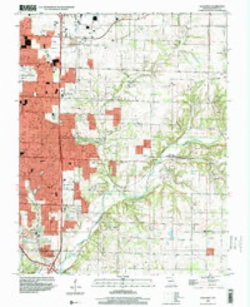
28 topographic sheets cover this place, the earliest surveyed in 1884 and the latest in 1996. It stands in Springfield Township. It lies in ZIP code area 65804. It stands on East Branch Galloway Creek. The Survey maps it on the Galloway quadrangle.
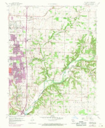
Topographic sheets covering this place
13 surveys from 28 printed sheetsMatched by testing this settlement's coordinate against the published boundary of every sheet in the United States Geological Survey's historical collection. Each opens the scanned sheet at the Survey.
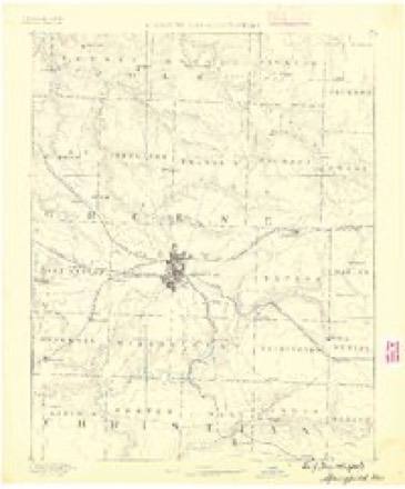
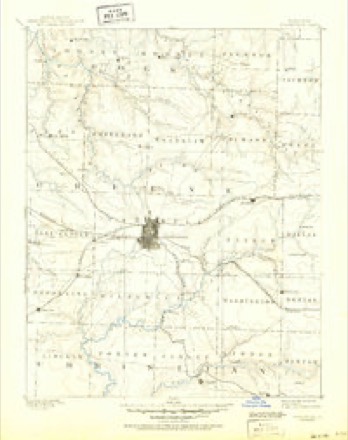
- 1884 USGS Springfield quadrangle1:125000
- 1886 USGS Springfield quadrangle1:125000, 5 printings
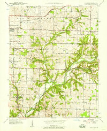
- 1937 USGS Galloway quadrangle1:24000, 2 printings
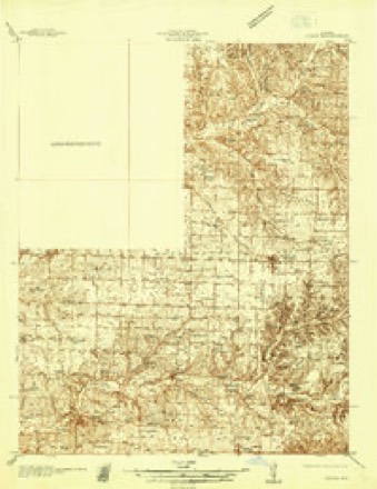
- 1937 USGS Ozark quadrangle1:48000
- 1943 USGS Ozark quadrangle1:62500
- 1945 USGS Ozark quadrangle1:62500, 2 printings
- 1948 USGS Galloway quadrangle1:24000, 2 printings
- 1954 USGS Springfield quadrangle1:250000, 6 printings
- 1958 USGS Springfield quadrangle1:250000
- 1959 USGS Springfield quadrangle1:250000
- 1960 USGS Galloway quadrangle1:24000, 4 printings
- 1982 USGS Springfield quadrangle1:100000
- 1996 USGS Galloway quadrangle1:24000
In the county-history sources
41,758 words on this townshipPersonal Reminiscences and Fragments of the Early History of Springfield and Greene County, Missouri : Related by Pioneers and Their Descendants at Old Settlers' Dinners Given at the Home of Capt. Martin J. Hubble, March 31, 1907, 1908, 1909, 1910, 1911, published 1914 names this settlement in its chapter on Springfield Township. These are the passages that mention it, exactly as the scans read.
The county and town from 1840 to 1850 rapidly improved, the increase in population being from 5,000 to 12,785, and by that time nearly all the arable lands were entered up by actual settlers, and the county was spotted with comfortable farms and farm houses. A rich trade opened up with the Southern States on horses and mules, prices ranging from $150 to $200. Apperson, Matlock, Campbell, Crenshaw, Haden, Fulbright, Weaver, Cannefax, Shackleford, Hancok, Lair, Corbin, Holland and others were drivers of horses and mules from this county. Morton Haden, Thompson, Hubble, Jones, Massey, Langston and others drove cattle to Independence and Leavenworth City and sold them at fair profits. Hogs were driven to the St. Louis market, and furs, peltries, dried fruit, beeswax, etc., etc., were freighted to Boonville.
Passage source: Personal Reminiscences and Fragments of the Early History of Springfield and Greene County, Missouri : Related by Pioneers and Their Descendants at Old Settlers' Dinners Given at the Home of Capt. Martin J. Hubble, March 31, 1907, 1908, 1909, 1910, 1911, published 1914.
Machine-read from a century-old scan, so expect the errors a machine makes: misspelled names, dropped words, stray characters.
Fires near this place
58 since 1992Regional context, not property-specific evidence. The federal wildfire occurrence database lists 58 fires within 5 miles of Langston between 1992 and 2017, burning about 92 acres in total. 1 started naturally. 1 was recorded as arson. Distance is straight-line from the map coordinates, so a fire counted here may appear on a neighbouring settlement's page as well.
| Reported cause | Fires |
|---|---|
| Debris and open burning | 34 |
| Missing data/not specified/undetermined | 12 |
| Equipment and vehicle use | 6 |
| Smoking | 3 |
| Recreation and ceremony | 1 |
| Arson/incendiarism | 1 |
| Natural | 1 |
The most recent of them, most recent first, with the day each was reported and the service that recorded it.
| Date | Cause | Size | Reported by | Name on the report |
|---|---|---|---|---|
| 10 September 1999 | Smoking | 1.0 acres | Missouri Department of Conservation | not named |
| 1 September 2011 | Debris and open burning | 1.0 acres | Missouri Department of Conservation | not named |
| 28 August 1995 | Smoking | 1.0 acres | Missouri Department of Conservation | not named |
| 23 August 1995 | Debris and open burning | 1.0 acres | Missouri Department of Conservation | not named |
| 21 August 1999 | Debris and open burning | 1.0 acres | Missouri Department of Conservation | not named |
| 8 July 1997 | Missing data/not specified/undetermined | 1.0 acres | Missouri Department of Conservation | not named |
| 6 July 1997 | Missing data/not specified/undetermined | 1.0 acres | Missouri Department of Conservation | not named |
| 6 July 1997 | Missing data/not specified/undetermined | 1.0 acres | Missouri Department of Conservation | not named |
Settlements close enough to share some of these fires:
Mines and quarries near this place
10 of 53 shownRegional context, not property-specific evidence. The federal mineral resources record lists 53 workings within 5 miles of Langston: 46 past producers, 5 producers, 2 prospects. 5 still produce. What was taken out: Zinc, Stone, Crushed/Broken, Lead, Zinc. Distance is straight-line from the map coordinates, so a quarry counted here may appear on a neighbouring settlement's page as well.
| Where | Site | Commodity | Status | Recorded |
|---|---|---|---|---|
| Gem Mine | Lead, Zinc | Past Producer | ||
| Phelps Mines | Lead, Zinc | Past Producer | ||
| Unknown | Lead, Zinc | Past Producer | ||
| Unknown | Lead, Zinc | Past Producer | ||
| Wolverine Shaft Number Three | Lead, Zinc | Past Producer | ||
| Ash Grove Cement Co - Plant | Stone, Crushed/Broken | Producer | Surface | |
| Ash Grove Mine | Stone, Crushed/Broken | Producer | ||
| Ash Grove Quarry | Stone, Crushed/Broken | Producer | ||
| Denton Quarry | Stone, Crushed/Broken | Past Producer | ||
| Griesemer Plant #1-Mine | Stone, Crushed/Broken | Producer |
Storms near this place
28 since 2008Regional context, not property-specific evidence. The National Weather Service names Langston in 28 storm reports between 2008 and 2026: 12 thunderstorm wind, 9 hail, 3 flash flood, 2 flood. No death or injury is recorded in these reports. Each account below is quoted exactly as the forecast office filed it, from the NOAA Storm Events Database, and each date opens the federal record of that event.
| When | Event | Place named | Harm | What the report says |
|---|---|---|---|---|
| June 2025 | Thunderstorm Wind | Langston | $500,000 | Trees were down on power lines across a large portion of Springfield. Numerous poles were broken and lines down across the city. |
| June 2025 | Thunderstorm Wind | Langston | $5,000 | Trees down and partial road blockage in the area. |
| July 2023 | Thunderstorm Wind | Langston | $5,000 | Tree limbs of at least 1 inches in diameter and some shingles were damagers by high winds. |
| June 2018 | Hail | Langston | $5,000 | Golf ball size hail was reported lasting for 5 minutes at the broadcast station. Minor damage occurred to some cars and roofs in the vicinity. |
| August 2018 | Thunderstorm Wind | Langston | $1,000 | A large tree limb snapped off and was lying on a power line near Sunshine Street and US Highway 65. The report was received via social media. |
| April 2026 | Hail | Langston | - | Quarter sized hail was reported. |
| April 2026 | Hail | Langston | - | Quarter to half dollar sized hail was reported. |
| April 2026 | Flood | Langston | - | Street flooding was reported near Pershing Middle School. |
| April 2025 | Hail | Langston | - | Nickle sized hail was reported. |
| April 2024 | Flood | Langston | - | Multiple streets had 2 to 6 inches of flowing water. |
| April 2023 | Thunderstorm Wind | Langston | - | Several large tree limns from 8 to 12 inches in diameter were reported down. |
| May 2022 | Thunderstorm Wind | Langston | - | A large tree was reported down. |
| August 2022 | Thunderstorm Wind | Langston | - | A large tree was reported down on South Stewart Street. |
| August 2022 | Flash Flood | Langston | - | Significant street flooding was reported via MPing. |
| March 2020 | Hail | Langston | - | Penny sized hail was reported. |
| June 2018 | Hail | Langston | - | Quarter size hail was reported on the 1300 block of East Sunset Street. This report was received via social media. |
| July 2018 | Thunderstorm Wind | Langston | - | Received a report of a 12 to 24 inch tree snapped in half along Sunshine Street. |
| March 2016 | Heavy Rain | Langston | - | In about two hours, 4.72 inches of rainfall was measured by a rain gauge with the Springfield rainfall network. |
| April 2016 | Hail | Langston | - | Nickel size hail was reported at the KRBK Studios on East Sunshine Street. |
| June 2015 | Flash Flood | Langston | - | There was minor street flooding south of Sunshine Street in east Springfield. |
| April 2014 | Hail | Langston | - | Dime to nickel size hail was reported at a local TV station in Springfield. |
| August 2013 | Hail | Langston | - | Hail was mostly dime size with some quarter size mixed in. |
| May 2010 | Thunderstorm Wind | Langston | - | A large tree was downed along Prince Lane. |
| November 2010 | Thunderstorm Wind | Langston | - | At Highway 65 and Sunshine winds were reported to be over 60 mph. |
| May 2009 | Funnel Cloud | Langston | - | Trained spotters observed a funnel cloud near the intersection of Highway 65 and Sunshine. |
| June 2009 | Thunderstorm Wind | Langston | - | Trained spotters estimated a 60 mph wind gust near the intersection of Grand and Glenstone. |
| June 2009 | Flash Flood | Langston | - | Low lying areas near the intersection of Oak Grove and Grand were flooded from excessive rainfall. |
| June 2008 | Thunderstorm Wind | Langston | - | no account filed |
Nearest settlements
The eight closest, with where each one stands in the county. Distances are straight-line, computed from the Geographic Names Information System coordinates.
Provenance
This settlement is recorded in the Geographic Names Information System as feature 720809. The sheet list is computed by point-in-boundary test against the United States Geological Survey's historical topographic inventory. Both are works of the United States government and carry no copyright under 17 U.S.C. 105.
Wildfire. Short, Karen C. 2022. Spatial wildfire occurrence data for the United States, 1992-2020 [FPA_FOD_20221014]. 6th Edition. Fort Collins, CO: Forest Service Research Data Archive. https://doi.org/10.2737/RDS-2013-0009.6 Collected with United States Government funding and usable without additional permissions or fees.
Mines and quarries. USGS Mineral Resources Data System (MRDS) https://mrdata.usgs.gov/mrds/ A work of the United States government, no copyright under 17 U.S.C. 105.
Storms. NOAA National Centers for Environmental Information, Storm Events Database https://www.ncei.noaa.gov/stormevents/ A work of the United States government, no copyright under 17 U.S.C. 105. Narratives are quoted verbatim from the National Weather Service report and are not edited or summarised.