 Block
Mumford, Missouri
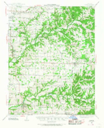
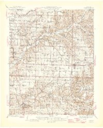
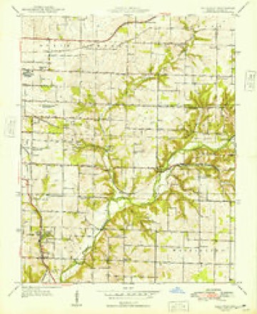
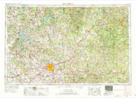
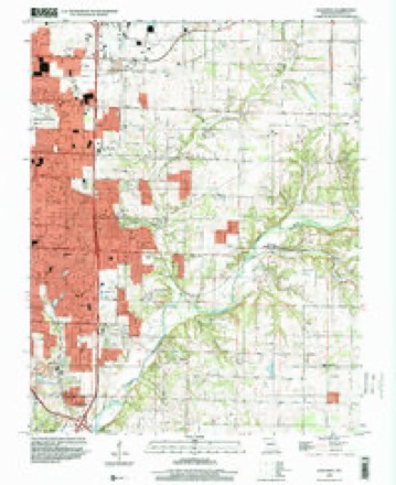
28 topographic sheets cover this place, the earliest surveyed in 1884 and the latest in 1996. It stands in Campbell No. 1 Township. It lies in ZIP code area 65809. It stands on Jones Branch. The Survey maps it on the Galloway quadrangle.
On record in Mumford
Buildings and businesses the archive holds for this place. Each opens its own page, with the source record it came from.
On the National Register within a mile 1 record
The National Register names another town for these. They stand within one mile of this settlement's coordinate.
- Roberts Farmsteadlisted 2025 · 0.4 miles away
Topographic sheets covering this place
13 surveys from 28 printed sheetsMatched by testing this settlement's coordinate against the published boundary of every sheet in the United States Geological Survey's historical collection. Each opens the scanned sheet at the Survey.
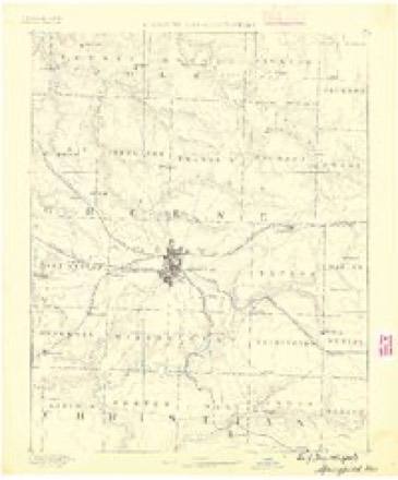
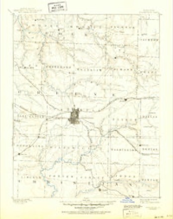
- 1884 USGS Springfield quadrangle1:125000
- 1886 USGS Springfield quadrangle1:125000, 5 printings
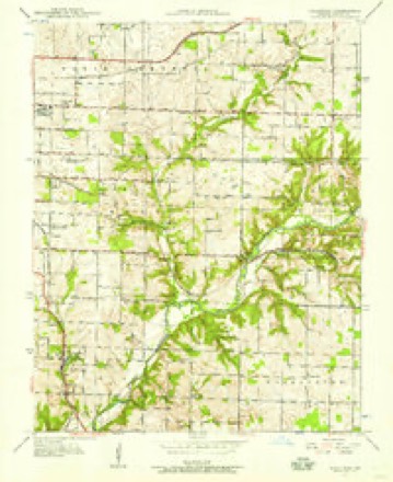
- 1937 USGS Galloway quadrangle1:24000, 2 printings
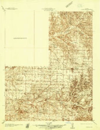
- 1937 USGS Ozark quadrangle1:48000
- 1943 USGS Ozark quadrangle1:62500
- 1945 USGS Ozark quadrangle1:62500, 2 printings
- 1948 USGS Galloway quadrangle1:24000, 2 printings
- 1954 USGS Springfield quadrangle1:250000, 6 printings
- 1958 USGS Springfield quadrangle1:250000
- 1959 USGS Springfield quadrangle1:250000
- 1960 USGS Galloway quadrangle1:24000, 4 printings
- 1982 USGS Springfield quadrangle1:100000
- 1996 USGS Galloway quadrangle1:24000
Fires near this place
90 since 1992Regional context, not property-specific evidence. The federal wildfire occurrence database lists 90 fires within 5 miles of Mumford between 1992 and 2017, burning about 146 acres in total. 2 started naturally. 8 were recorded as arson. Distance is straight-line from the map coordinates, so a fire counted here may appear on a neighbouring settlement's page as well.
| Reported cause | Fires |
|---|---|
| Debris and open burning | 54 |
| Missing data/not specified/undetermined | 14 |
| Arson/incendiarism | 8 |
| Equipment and vehicle use | 6 |
| Recreation and ceremony | 3 |
| Smoking | 3 |
| Natural | 2 |
The most recent of them, most recent first, with the day each was reported and the service that recorded it.
| Date | Cause | Size | Reported by | Name on the report |
|---|---|---|---|---|
| 10 September 1999 | Smoking | 1.0 acres | Missouri Department of Conservation | not named |
| 1 September 2011 | Debris and open burning | 1.0 acres | Missouri Department of Conservation | not named |
| 31 August 1999 | Debris and open burning | 2.0 acres | Missouri Department of Conservation | not named |
| 28 August 1995 | Smoking | 1.0 acres | Missouri Department of Conservation | not named |
| 24 August 2003 | Missing data/not specified/undetermined | under an acre | Missouri State Fire Marshal's Office | not named |
| 23 August 1995 | Debris and open burning | 1.0 acres | Missouri Department of Conservation | not named |
| 21 August 1999 | Debris and open burning | 1.0 acres | Missouri Department of Conservation | not named |
| 12 August 1999 | Debris and open burning | 1.0 acres | Missouri Department of Conservation | not named |
Settlements close enough to share some of these fires:
Mines and quarries near this place
10 of 45 shownRegional context, not property-specific evidence. The federal mineral resources record lists 45 workings within 5 miles of Mumford: 38 past producers, 5 producers, 2 prospects. 5 still produce. What was taken out: Zinc, Stone, Crushed/Broken, Lead, Zinc. Distance is straight-line from the map coordinates, so a quarry counted here may appear on a neighbouring settlement's page as well.
| Where | Site | Commodity | Status | Recorded |
|---|---|---|---|---|
| Gem Mine | Lead, Zinc | Past Producer | ||
| Phelps Mines | Lead, Zinc | Past Producer | ||
| Unknown | Lead, Zinc | Past Producer | ||
| Unknown | Lead, Zinc | Past Producer | ||
| Wolverine Shaft Number Three | Lead, Zinc | Past Producer | ||
| Ash Grove Cement Co - Plant | Stone, Crushed/Broken | Producer | Surface | |
| Ash Grove Mine | Stone, Crushed/Broken | Producer | ||
| Ash Grove Quarry | Stone, Crushed/Broken | Producer | ||
| Griesemer Plant #1-Mine | Stone, Crushed/Broken | Producer | ||
| Marblehead Quarry | Stone, Crushed/Broken | Past Producer |
Storms near this place
17 since 2008Regional context, not property-specific evidence. The National Weather Service names Mumford in 17 storm reports between 2008 and 2026: 7 thunderstorm wind, 5 hail, 2 flash flood, 1 flood. No death or injury is recorded in these reports. Each account below is quoted exactly as the forecast office filed it, from the NOAA Storm Events Database, and each date opens the federal record of that event.
| When | Event | Place named | Harm | What the report says |
|---|---|---|---|---|
| June 2015 | Flood | Mumford | $500,000 | At least two homes on Farm Road 193 just north of Sunshine Avenue on the east side of Springfield had several feet of water inside the homes from the historic James River flood. Several cars were flooded in the neighborhood. |
| June 2008 | Thunderstorm Wind | Mumford | $300,000 | Major tree and power line damage occurred within a neighborhood in east Springfield. This damage was due to the rear flank downdraft winds of a tornadic supercell. Several homes also experienced damage from large trees falling into them. |
| December 2021 | Thunderstorm Wind | Mumford | $20,000 | Several large limbs was broken out of trees and multiple power poles were broken. |
| March 2016 | Lightning | Mumford | $5,000 | A lightning strike started a house fire on the east side of Springfield. The address was 4276 E Cherry Street. There was minor damage to the attic of the house. |
| April 2026 | Thunderstorm Wind | Mumford | - | A tree was reported blown over. |
| May 2022 | Thunderstorm Wind | Mumford | - | A 8-9 inch diameter pecan tree was broken near the base near Highway 65 and Sunshine Street. |
| March 2020 | Hail | Mumford | - | Quarter sized hail was reported via MPing. |
| July 2015 | Heavy Rain | Mumford | - | There was a report of 2.25 inches of rainfall in two hours near the intersection of Catalpa and Eastgate Street in east Springfield. |
| April 2015 | Thunderstorm Wind | Mumford | - | Several large trees limbs were blown down on east Springfield near Highway 65 and Catalpa Road. |
| May 2013 | Flash Flood | Mumford | - | High water was reported over County Road 123 and County Road 146. |
| August 2013 | Thunderstorm Wind | Mumford | - | Several large trees were reported down or uprooted near the intersection of Farm Road 199 and Highway J. |
| July 2013 | Hail | Mumford | - | Quarter size hail was reported near Sunshine Avenue and Highway 65. |
| September 2010 | Flash Flood | Mumford | - | One foot of water was reported ponding on East Farm Road 148 under the railroad bridge near Pearson Creek. |
| November 2010 | Thunderstorm Wind | Mumford | - | KY3 TV relayed to the NWS that wind damage occurred in East Springfield near the intersection of Sunshine Street and Eastgate Avenue. Shingles were torn off of a house and a privacy fence was blown down in two sections. |
| June 2008 | Hail | Mumford | - | Baseball size hail was observed at the intersection of Chestnut Expressway and Highway 65. |
| June 2011 | Hail | Mumford | - | no account filed |
| June 2008 | Hail | Mumford | - | no account filed |
Nearest settlements
The eight closest, with where each one stands in the county. Distances are straight-line, computed from the Geographic Names Information System coordinates.
| Map | Place | Distance | Sheets |
|---|---|---|---|
| Langston | 2.3 miles | 28 | |
| Turners | 2.4 miles | 28 | |
| Sequiota | 3.4 miles | 28 | |
| Expansion | 3.6 miles | 28 | |
| Galloway | 4.0 miles | 28 | |
| Oak Grove Heights | 4.5 miles | 21 | |
| Nogo | 4.9 miles | 23 | |
| Palace (historical) | 5.0 miles | 23 |
Provenance
This settlement is recorded in the Geographic Names Information System as feature 732700. The sheet list is computed by point-in-boundary test against the United States Geological Survey's historical topographic inventory. Both are works of the United States government and carry no copyright under 17 U.S.C. 105.
Wildfire. Short, Karen C. 2022. Spatial wildfire occurrence data for the United States, 1992-2020 [FPA_FOD_20221014]. 6th Edition. Fort Collins, CO: Forest Service Research Data Archive. https://doi.org/10.2737/RDS-2013-0009.6 Collected with United States Government funding and usable without additional permissions or fees.
Mines and quarries. USGS Mineral Resources Data System (MRDS) https://mrdata.usgs.gov/mrds/ A work of the United States government, no copyright under 17 U.S.C. 105.
Storms. NOAA National Centers for Environmental Information, Storm Events Database https://www.ncei.noaa.gov/stormevents/ A work of the United States government, no copyright under 17 U.S.C. 105. Narratives are quoted verbatim from the National Weather Service report and are not edited or summarised.