 Block
Lone Jack, Missouri
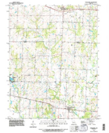
15 topographic sheets cover this place, the earliest surveyed in 1887 and the latest in 1990. It stands in Van Buren Township. It lies in ZIP code area 64070. The Survey maps it on the Strasburg quadrangle. 1,492 people lived here at the 2020 count. It stands 1,017 feet above sea level.
Population over time
2 figuresLone Jack grew from 1,050 to 1,492 between 2010 and 2020. These are the recorded population figures Wikidata holds for this place, reached through the Geographic Names Information System number this page is keyed on rather than by name, so they belong to this place and not to another of the same name. Most are census counts, but not all are: an early figure may be a founding or settlement estimate, and an estimate published within five years of a census is left out. The change column is computed, and is left blank where more than 20 years separate a figure from the one before it, because a gap that long is not a change between two counts.
| Year | People | Change |
|---|---|---|
| 2010 | 1,050 | |
| 2020 | 1,492 | +442 (+42%) |
Topographic sheets covering this place
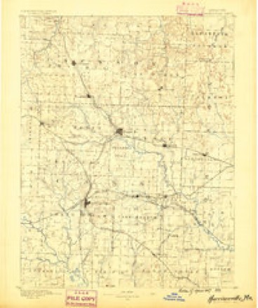
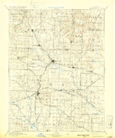
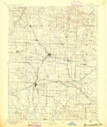
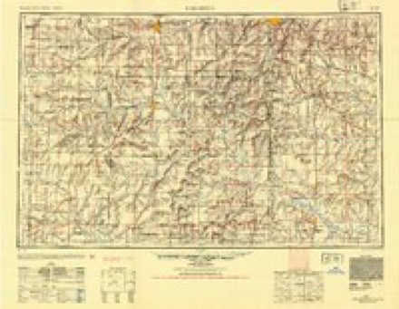
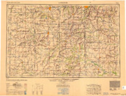
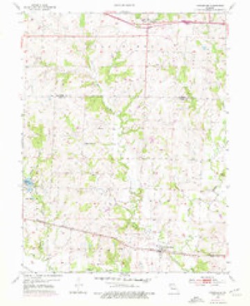
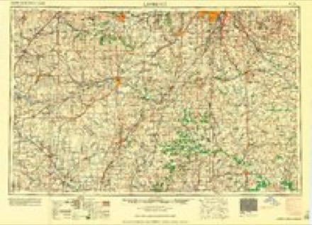
10 surveys from 15 printed sheetsMatched by testing this settlement's coordinate against the published boundary of every sheet in the United States Geological Survey's historical collection. Each opens the scanned sheet at the Survey.
- 1887 USGS Harrisonville quadrangle1:125000
- 1892 USGS Harrisonville quadrangle1:125000, 2 printings
- 1894 USGS Harrisonville quadrangle1:125000
- 1947 USGS Lawrence quadrangle1:250000
- 1950 USGS Lawrence quadrangle1:250000
- 1954 USGS Strasburg quadrangle1:24000, 2 printings
- 1956 USGS Lawrence quadrangle1:250000, 4 printings
- 1961 USGS Lawrence quadrangle1:250000
- 1983 USGS Olathe quadrangle1:100000
- 1990 USGS Strasburg quadrangle1:24000
In the county-history sources
10,490 words on this townshipThe History of Jackson County, Missouri, Containing a History of the County, Its Cities, Towns, Etc., Biographical Sketches of Its Citizens, Jackson County in the Late War... History of Missouri, Map of Jackson County .., published 1881 names this settlement in its chapter on Van Buren Township. These are the passages that mention it, exactly as the scans read.
The first settlement, or the first cabin built in the territory now included in Van Buren, was built by Isaac Dunnaway in the spring of 1830. It was a short distance west of the present village of Lone Jack; on Sec. 23, Tp. 47, R. 30, on the farm and a short distance from the residence of George Griffith. The same spring Daniel Graham, a son of Nancy Graham, who had married Butterfield as above stated, built his cabin a short distance south of Dunnaway on the west half of the southeast quarter of Sec. 26, it being eighty acres that his wife had entered a short time before marriage, and only a short time before settlement. The same spring, also. Redden Crisp settled across the creek west of Dunnaway and Graham, on the Keersey farm, on the west half of southwest quarter of Sec. 27, which he entered the same day that Celia Edmundson did the tract on which Graham built, January 26th, 1 830. These three famihes were all that resided within the present Hmits of the township that year. Some others bought lands or made claims and did some work during the summer and autumn but did not move until the spring of 1831. Of this number were William Crawford, Charles Hopper (Big Charley) and Joshua Hitchcock. Crawford broke prairie and planted corn, with no fence, on the farm now owned by Wesley Yankee, Sec. 31, Tp. 47, R. 29. He gathered his corn in the fall, but the turkeys it is said, ate it up during the winter. Hopper selected his home a- short distance east of the lone tree, where John Shawhan now lives, on Sec. 18, and Hitchcock a little farther east, a part of the Miller Easley farm, same section.
Passage source: The History of Jackson County, Missouri, Containing a History of the County, Its Cities, Towns, Etc., Biographical Sketches of Its Citizens, Jackson County in the Late War... History of Missouri, Map of Jackson County .., published 1881.
In 1 83 1 and 1832, the Lone Jack settlement received an addition of several families among whom may be mentioned Warren P. Reavis, Charles Hopper, Jr., A. H. Helms, Thomas McKnight, David L. Cadle, Thomas Hamlin, Squire Bridges, George Larrison, William and Samuel English, John Beeler and James Noel. In the mean time a few families had settled in the northeastern part of the township, a short distance south of Oak Grove, and in and near the Round Prairie ; WilHam Cox, Elihu and Silas Cox, Parson McKinney, Jephtha Crawford, Robert, Stephen and Joseph Austin, Elijah Thompson, Thomas Sharp, Jacob and Abram Roger, some of the Webbs, and also John S. and Martin Corn. In the fall of 1833 the writer of these collections, a youth of nineteen, came with his father and father's family, and built a cabin where he now lives, on Sec. 29, Tp. 47, R. 29. It was while building that cabin that the Mormons were expelled from the county, and the great meteoric shower occurred, on the 13th of November, 1833. Settlers continued to come in 1834 and 1835, ^^^ ^' began to be said there was not room for many more. There not being woodland enough, it was thought to fence and supply many more farms with the needed timber ; and the making of farms away out on the large prairies, as has since been done, was not even dreamed of. In 1833 there was one house between Blue Springs and Lone Jack. Francis Prine had built a house and opened a farm on the Sni-a-bar creek, on Sec. 32, Tp. 48, R. 30, which a few years after he sold to Wilson Alexander. Since, it has been known as the Dr. Miller place. David Dealy had entered land and done some work on it in 1833, but did not move to the farm, on Sec. 3, Tp. 47, R. 30, till the spring of 1834. William Adams (Captain William) came with the writer from Tennessee in 1833, and located on Sec. 10, same township, where he died about the year 1859 or i860.
Passage source: The History of Jackson County, Missouri, Containing a History of the County, Its Cities, Towns, Etc., Biographical Sketches of Its Citizens, Jackson County in the Late War... History of Missouri, Map of Jackson County .., published 1881.
In addition to Cadle and wife, the following names are remembered as belonging to the church : Thomas Hamlin and Mary, his wife, William Butler, Sr., and wife, Wm. Butler, Jr., and wife, Jesse Butler, John Butler, Wm. Savage and wife, Hiram Savage and wife, Wm. B. Savage, William Warden and wife, Hezekiah Warden's wife, Catherine Bledsoe, Nancy Hopper and Artilla Hopper. The meetings were held at private houses - most commonly at the house of Thomas Hamlin, where George Rheem now lives. Sec. 25, Tp. 47, R. 30; or at the house of Wm. Butler, three miles east of Pleasant Hill. This continued until the year 1837 or 1838, when a log meeting house was built where the cemetery known as the Rheem Cemetery now is on the farm of Fred. Edmundson, Sec. 25. That house was built by the voluntary contributions and labors of the brethren and friends. In 1837 Wm. 'Ousley, a Baptist minister, moved into the vicinity, and after a time became pastor of the church. It prospered until the year 1841, when it numbered over 100 members. In that year and the year following the question of missions divided it. The Lone Jack Church (first called Basin Knob) and one called Bethel being constituted out of a part of its mem-
Passage source: The History of Jackson County, Missouri, Containing a History of the County, Its Cities, Towns, Etc., Biographical Sketches of Its Citizens, Jackson County in the Late War... History of Missouri, Map of Jackson County .., published 1881.
Machine-read from a century-old scan, so expect the errors a machine makes: misspelled names, dropped words, stray characters.
Read the whole chapter on Van Buren Township - it names this place 18 more 18 times.
Fires near this place
13 since 2015Regional context, not property-specific evidence. The federal wildfire occurrence database lists 13 fires within 5 miles of Lone Jack between 2015 and 2017, burning about 35 acres in total. None started naturally. None was recorded as arson. Distance is straight-line from the map coordinates, so a fire counted here may appear on a neighbouring settlement's page as well.
| Reported cause | Fires |
|---|---|
| Missing data/not specified/undetermined | 10 |
| Debris and open burning | 2 |
| Equipment and vehicle use | 1 |
The most recent of them, most recent first, with the day each was reported and the service that recorded it.
| Date | Cause | Size | Reported by | Name on the report |
|---|---|---|---|---|
| 8 March 2015 | Missing data/not specified/undetermined | 3.0 acres | Missouri Department of Conservation | 119952-05161-03082015-1606 |
| 7 March 2015 | Missing data/not specified/undetermined | under an acre | Missouri Department of Conservation | 119947-05161-03072015-1416 |
| 28 March 2015 | Missing data/not specified/undetermined | under an acre | Missouri Department of Conservation | 121676-05161-03282015-0020 |
| 15 March 2015 | Debris and open burning | under an acre | Missouri Department of Conservation | 121307-05161-03152015-1249 |
| 13 March 2015 | Missing data/not specified/undetermined | 2.0 acres | Missouri Department of Conservation | 121308-05161-03132015-1610 |
| 13 March 2015 | Missing data/not specified/undetermined | under an acre | Missouri Department of Conservation | 121306-05161-03132015-1648 |
| 11 March 2015 | Missing data/not specified/undetermined | under an acre | Missouri Department of Conservation | 121303-05161-03112015-1540 |
| 10 March 2015 | Missing data/not specified/undetermined | 8.0 acres | Missouri Department of Conservation | 121301-05161-03102015-1541 |
Settlements close enough to share some of these fires:
Mines and quarries near this place
4 within 5 milesRegional context, not property-specific evidence. The federal mineral resources record lists 4 workings within 5 miles of Lone Jack: 3 past producers, 1 producer. 1 still produces. What was taken out: Stone, Crushed/Broken. Distance is straight-line from the map coordinates, so a quarry counted here may appear on a neighbouring settlement's page as well.
| Where | Site | Commodity | Status | Recorded |
|---|---|---|---|---|
| Lees Summit Mine and Mill | Stone, Crushed/Broken | Producer | ||
| Unknown - Ls. | Stone, Crushed/Broken | Past Producer | ||
| Unknown-Ls | Stone, Crushed/Broken | Past Producer | ||
| Unknown-Ls | Stone, Crushed/Broken | Past Producer |
Storms near this place
7 since 2000Regional context, not property-specific evidence. The National Weather Service names Lone Jack in 7 storm reports between 2000 and 2023: 3 flash flood, 2 thunderstorm wind, 1 hail, 1 lightning. The reports record 1 injury. Each account below is quoted exactly as the forecast office filed it, from the NOAA Storm Events Database, and each date opens the federal record of that event.
| When | Event | Place named | Harm | What the report says |
|---|---|---|---|---|
| August 2005 | Lightning | Lone Jack | 1 hurt, $25,000 | Lightning struck and destroyed a hay barn and killed 3 horses. One person also was injured by the lightning. |
| July 2023 | Thunderstorm Wind | Lone Jack | - | Large tree limbs downed along Highway 150 west of Lone Jack. |
| June 2007 | Flash Flood | Lone Jack | - | Cave Road was closed due to flash flooding. |
| May 2002 | Flash Flood | Lone Jack | - | One foot of water over highway E at highway 50. Three and a half feet of water over the intersection of highway 150 and highway 291. |
| April 2001 | Flash Flood | Lone Jack | - | Flash flooding of creek in Blue-Gray park reported. Several roads in park became impassable due tohigh water. |
| May 2001 | Hail | Lone Jack | - | no account filed |
| September 2000 | Thunderstorm Wind | Lone Jack | - | no account filed |
Nearest settlements
The eight closest, with where each one stands in the county. Distances are straight-line, computed from the Geographic Names Information System coordinates.
| Map | Place | Distance | Sheets |
|---|---|---|---|
| Hicks City | 2.8 miles | 13 | |
| Cockrell | 3.5 miles | 18 | |
| Lake Lotawana | 5.2 miles | 18 | |
| Sni Mills | 5.3 miles | 18 | |
| Tarsney | 5.4 miles | 18 | |
| Tarsney Lakes | 5.7 miles | 18 | |
| Greenwood | 9.1 miles | 15 | |
| Oak Grove | 9.6 miles | 21 |
Elsewhere
Matched on this settlement's Geographic Names Information System number rather than its name, so it cannot be a different place of the same name in another state.
| Wikipedia article on Lone Jack | An encyclopaedic summary. Its text is share-alike, so it is linked here rather than copied. |
| Wikidata item Q962661 | The structured record the population and elevation above come from. Public domain (CC0). |
Provenance
This settlement is recorded in the Geographic Names Information System as feature 758307. The sheet list is computed by point-in-boundary test against the United States Geological Survey's historical topographic inventory. Both are works of the United States government and carry no copyright under 17 U.S.C. 105.
Wildfire. Short, Karen C. 2022. Spatial wildfire occurrence data for the United States, 1992-2020 [FPA_FOD_20221014]. 6th Edition. Fort Collins, CO: Forest Service Research Data Archive. https://doi.org/10.2737/RDS-2013-0009.6 Collected with United States Government funding and usable without additional permissions or fees.
Mines and quarries. USGS Mineral Resources Data System (MRDS) https://mrdata.usgs.gov/mrds/ A work of the United States government, no copyright under 17 U.S.C. 105.
Storms. NOAA National Centers for Environmental Information, Storm Events Database https://www.ncei.noaa.gov/stormevents/ A work of the United States government, no copyright under 17 U.S.C. 105. Narratives are quoted verbatim from the National Weather Service report and are not edited or summarised.