 Block
Tarsney Lakes, Missouri
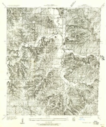
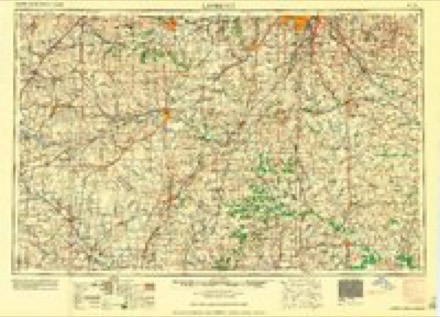
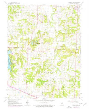
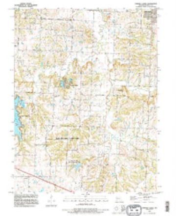
18 topographic sheets cover this place, the earliest surveyed in 1887 and the latest in 1990. It stands in Van Buren Township. It lies in ZIP code area 64075. The Survey maps it on the Tarsney Lakes quadrangle.
Topographic sheets covering this place
13 surveys from 18 printed sheetsMatched by testing this settlement's coordinate against the published boundary of every sheet in the United States Geological Survey's historical collection. Each opens the scanned sheet at the Survey.
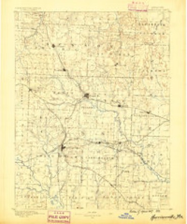
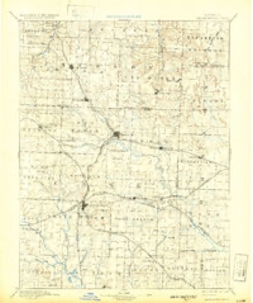
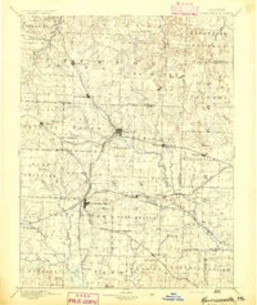
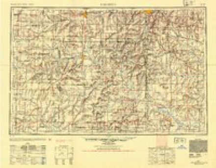
- 1887 USGS Harrisonville quadrangle1:125000
- 1892 USGS Harrisonville quadrangle1:125000, 2 printings
- 1894 USGS Harrisonville quadrangle1:125000
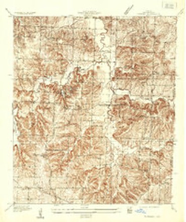
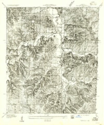
- 1935 USGS Tarsney quadrangle1:24000
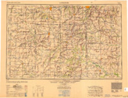
- 1947 USGS Lawrence quadrangle1:250000
- 1950 USGS Lawrence quadrangle1:250000
- 1955 USGS Tarsney quadrangle1:24000
- 1956 USGS Lawrence quadrangle1:250000, 4 printings
- 1957 USGS Tarsney quadrangle1:24000
- 1961 USGS Lawrence quadrangle1:250000
- 1965 USGS Tarsney Lakes quadrangle1:24000, 2 printings
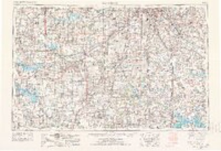
- 1983 USGS Olathe quadrangle1:100000
- 1990 USGS Tarsney Lakes quadrangle1:24000
In the county-history sources
10,490 words on this townshipThe History of Jackson County, Missouri, Containing a History of the County, Its Cities, Towns, Etc., Biographical Sketches of Its Citizens, Jackson County in the Late War... History of Missouri, Map of Jackson County .., published 1881 has no passage naming this settlement, which was common for smaller places. Its township is covered in full.
The chapter on Van Buren Township covers the township.
Read the chapter on Van Buren Township - 10,490 words.
Mines and quarries near this place
6 within 5 milesRegional context, not property-specific evidence. The federal mineral resources record lists 6 workings within 5 miles of Tarsney Lakes: 5 past producers, 1 producer. 1 still produces. What was taken out: Stone, Crushed/Broken. Distance is straight-line from the map coordinates, so a quarry counted here may appear on a neighbouring settlement's page as well.
| Where | Site | Commodity | Status | Recorded |
|---|---|---|---|---|
| Lees Summit Mine and Mill | Stone, Crushed/Broken | Producer | ||
| Unknown-Ls | Stone, Crushed/Broken | Past Producer | ||
| Unknown-Ls | Stone, Crushed/Broken | Past Producer | ||
| Unknown-Ls | Stone, Crushed/Broken | Past Producer | ||
| Unknown-Ls | Stone, Crushed/Broken | Past Producer | ||
| Unknown-Ls | Stone, Crushed/Broken | Past Producer |
Storms near this place
3 since 2017Regional context, not property-specific evidence. The National Weather Service names Tarsney Lakes in 3 storm reports between 2017 and 2025: 1 tornado, 1 flash flood, 1 thunderstorm wind. The reports record 12 injuries. Each account below is quoted exactly as the forecast office filed it, from the NOAA Storm Events Database, and each date opens the federal record of that event.
| When | Event | Place named | Harm | What the report says |
|---|---|---|---|---|
| March 2017 | Tornado (EF3) | Tarsney Lakes | 12 hurt | On the evening of March 6 a supercell formed in eastern Kansas and moved ESE into the southern portions of the Kansas City metro area. It produced a weak tornado near Leawood, Kansas then another near Lee's Summit, Missouri. As the storm moved over Lake Lotawana it produced a third and more devastating tornado that went through the city of Oak Grove, Missouri, producing EF-3 damage. The most extensive damage was to some residences in Oak Grove that saw well built permanent foundation houses completely removed from the foundation and toppled over. There were 12 reported injuries in Oak Grove from this tornado. The tornado continued into Lafayette County and toward Odessa, Missouri. |
| July 2025 | Thunderstorm Wind | Tarsney Lakes | - | Downed wires near Hardsaw Road southeast of Grain Valley. |
| September 2020 | Flash Flood | Tarsney Lakes | - | Water was over the road and ditches were full of water at this location. |
Nearest settlements
The eight closest, with where each one stands in the county. Distances are straight-line, computed from the Geographic Names Information System coordinates.
| Map | Place | Distance | Sheets |
|---|---|---|---|
| Tarsney | 0.9 miles | 18 | |
| Lake Lotawana | 2.8 miles | 18 | |
| Sni Mills | 3.8 miles | 18 | |
| Grain Valley | 4.5 miles | 21 | |
| Cockrell | 4.8 miles | 18 | |
| Oak Grove | 5.5 miles | 21 | |
| Lone Jack | 5.7 miles | 15 | |
| Hicks City | 6.1 miles | 13 |
Provenance
This settlement is recorded in the Geographic Names Information System as feature 727470. The sheet list is computed by point-in-boundary test against the United States Geological Survey's historical topographic inventory. Both are works of the United States government and carry no copyright under 17 U.S.C. 105.
Mines and quarries. USGS Mineral Resources Data System (MRDS) https://mrdata.usgs.gov/mrds/ A work of the United States government, no copyright under 17 U.S.C. 105.
Storms. NOAA National Centers for Environmental Information, Storm Events Database https://www.ncei.noaa.gov/stormevents/ A work of the United States government, no copyright under 17 U.S.C. 105. Narratives are quoted verbatim from the National Weather Service report and are not edited or summarised.