 Block
Sturgeon, Missouri
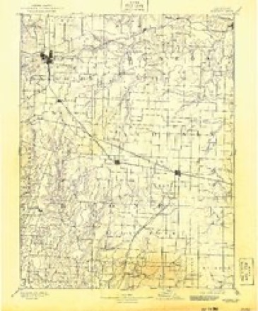
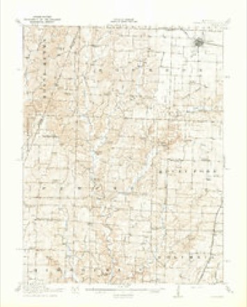
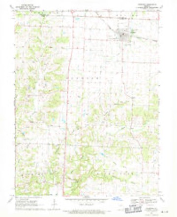
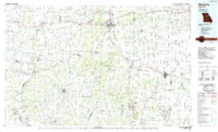
19 topographic sheets cover this place, the earliest surveyed in 1890 and the latest in 1985. It stands in Bourbon Township. It lies in ZIP code area 65284. The Survey maps it on the Sturgeon quadrangle. 907 people lived here at the 2020 count. It stands 840 feet above sea level.
Population over time
2 figuresSturgeon grew from 872 to 907 between 2010 and 2020. These are the recorded population figures Wikidata holds for this place, reached through the Geographic Names Information System number this page is keyed on rather than by name, so they belong to this place and not to another of the same name. Most are census counts, but not all are: an early figure may be a founding or settlement estimate, and an estimate published within five years of a census is left out. The change column is computed, and is left blank where more than 20 years separate a figure from the one before it, because a gap that long is not a change between two counts.
| Year | People | Change |
|---|---|---|
| 2010 | 872 | |
| 2020 | 907 | +35 (+4%) |
Topographic sheets covering this place
8 surveys from 19 printed sheetsMatched by testing this settlement's coordinate against the published boundary of every sheet in the United States Geological Survey's historical collection. Each opens the scanned sheet at the Survey.
- 1890 USGS Moberly quadrangle1:125000, 6 printings
- 1917 USGS Sturgeon quadrangle1:62500, 3 printings
- 1953 USGS Moberly quadrangle1:250000
- 1954 USGS Moberly quadrangle1:250000, 3 printings
- 1957 USGS Moberly quadrangle1:250000
- 1960 USGS Moberly quadrangle1:250000
- 1969 USGS Sturgeon quadrangle1:24000, 2 printings
- 1985 USGS Moberly quadrangle1:100000, 2 printings




What happened here
An account from the chapter on Bourbon township. The inset identifies its exact source book and publication year.
The Shroyer Murder Case
A most horrible and at the same time a most interesting case of murder occurred in this township in the fall of 1876. The particulars, here given are taken from the Sturgeon Leader of August 5, 1882. The editor of the Leader, Mr. T. S. Carter, is better informed concerning the facts in the case than any other person, and was promi nent in cansino; the arrest of the alleo-ed murderer : -
In the county-history sources
30,463 words on this townshipHistory of Boone County, Missouri. Written and Comp. from the Most Authentic Official and Private Sources; Including a History of Its Townships, Towns, and Villages. Together with a Condensed History of Missouri; the City of St. Louis ... Biographical Sketches and Portraits of Prominent Citizens .., published 1882 names this settlement in its chapter on Bourbon Township. These are the passages that mention it, exactly as the scans read.
Bourbon township is the northwest corner township of" Boone county. It comprises all of township 51, range 12, and township 51, range 13, and fractional township 51, range 14, - running to the Howard County line on the west, and to Centralia township on the east. It is bounded on the north by Randolph and Audrain counties, and on the south by Perche and Rocky Fork townships.
Its surface is mingled prairie and timber. Some of the timber land is covered with thin soil, as is a portion of the prairie, but in general the land is very fertile. The few tracts of bottom land are remarkable for grass. In 1872 Mr. W. G. Ridgway, of Sturgeon, cut three tons of hay from one acre of meadovv, which he sold for $26. The grass was fully five feet high, and was so rank and heavy that it fell and " lodged " and could not be cut with a mowing machine, but was mown with a scythe. From sixteen acres Mr. R. secured a crop of about forty tons. The land was rich bottom.
Coal and Iron Ore. - Along Perche Creek and in the vicinity there is a considerable quantity of a good article of coal. Banks have been opened and worked successfully. A great deal of the coal has been shipped to Sturgeon and Rocheport. Iron ore is also to be found, but not in sufficient quantities as yet to justify the erection of furnaces.
Machine-read from a century-old scan, so expect the errors a machine makes: misspelled names, dropped words, stray characters.
Read the whole chapter on Bourbon Township - it names this place 132 more 132 times.
Fires near this place
1 since 2002Regional context, not property-specific evidence. The federal wildfire occurrence database lists 1 fire within 5 miles of Sturgeon in 2002, burning about 7 acres in total. None started naturally. None was recorded as arson. Distance is straight-line from the map coordinates, so a fire counted here may appear on a neighbouring settlement's page as well.
| Reported cause | Fires |
|---|---|
| Debris and open burning | 1 |
The most recent of them, most recent first, with the day each was reported and the service that recorded it.
| Date | Cause | Size | Reported by | Name on the report |
|---|---|---|---|---|
| 23 February 2002 | Debris and open burning | 7.0 acres | Missouri Department of Conservation | not named |
Settlements close enough to share some of these fires:
Storms near this place
28 since 1993Regional context, not property-specific evidence. The National Weather Service names Sturgeon in 28 storm reports between 1993 and 2021: 14 hail, 10 thunderstorm wind, 4 flash flood. No death or injury is recorded in these reports. Each account below is quoted exactly as the forecast office filed it, from the NOAA Storm Events Database, and each date opens the federal record of that event.
| When | Event | Place named | Harm | What the report says |
|---|---|---|---|---|
| June 1995 | Hail | Sturgeon | $2,500 | The Boone County Emergency Operations Center reported golf ball-size hail along the Boone-Randolph County line and in the Hallsville area. Hail reached two inches in diameter in Sturgeon, but most stones were smaller. Wind gusts to 60 mph were also reported north of Ashland with a roof damaged and trees down across northeast parts of the county. |
| June 2021 | Flash Flood | Sturgeon | - | Up to four inches of rain fell in about a two hour period across northern portions of Boone County causing flash flooding. Numerous roads were flooded including Highway 124 west northwest of Hallsville and several roads in Centralia. |
| June 2021 | Thunderstorm Wind | Sturgeon | - | Thunderstorm winds blew down several trees in town, a couple of which blocked roadways. |
| June 2016 | Thunderstorm Wind | Sturgeon | - | Thunderstorm winds caused scattered damage extending from Sturgeon to Hallsville. Numerous trees, tree limbs and power lines were blown down. Also, about a dozen power poles were damaged. In Sturgeon, a porch roof was blown off of a house. |
| June 2015 | Flash Flood | Sturgeon | - | Between 2 and 4 inches of rain fell in a short amount of time causing flash flooding. Several roads were flooded across northern Boone County including Route B on the south side of Hallsville. |
| April 2011 | Thunderstorm Wind | Sturgeon | - | Thunderstorm winds blew down four power poles and snapped several others in the Sturgeon area. |
| March 2009 | Flash Flood | Sturgeon | - | Between 2 and 3 inches of rain fell in a short amount of time causing flash flooding. Numerous roads had water flowing over them including Brown School Road west of Highway 763, Fox Hollow Road five miles west of Ashland, and Wilhite Road east of Evert School Road. |
| July 2008 | Flash Flood | Sturgeon | - | Between 3 and 5 inches of rain fell in a short amount of time on already saturated soils causing flash flooding. Numerous roads in the Centralia area were flooded. |
| August 2007 | Thunderstorm Wind | Sturgeon | - | A large tree was blown down in town. |
| November 2005 | Hail | Sturgeon | - | Amateur radio spotters reported golfball size hail just north of Sturgeon. |
| May 2004 | Thunderstorm Wind | Sturgeon | - | Emergency management personnel reported some power poles blown over in Sturgeon. |
| August 2003 | Hail | Sturgeon | - | Storm spotters reported 1 inch hail. |
| August 2002 | Thunderstorm Wind | Sturgeon | - | Boone County Emergency Management reported a couple of large trees down on Route V south of Sturgeon. |
| April 2001 | Hail | Sturgeon | - | The local Fire Department reported 3/4 inch hail. |
| May 2000 | Hail | Sturgeon | - | Storm spotters reported 1 inch hail. |
| June 1995 | Hail | Sturgeon | - | The Boone County Emergency Operations Center reported golf ball-size hail along the Boone-Randolph County line and in the Hallsville area. Hail reached two inches in diameter in Sturgeon, but most stones were smaller. Wind gusts to 60 mph were also reported north of Ashland with a roof damaged and trees down across northeast parts of the county. |
| May 1995 | Hail | Sturgeon | - | Golf ball-size hail was reported. |
| April 1993 | Hail | Sturgeon | - | Sheriff's deputies and county officials reported hail covered the ground several inches deep. |
| July 2010 | Thunderstorm Wind | Sturgeon | - | no account filed |
| June 2010 | Hail | Sturgeon | - | no account filed |
| May 2008 | Hail | Sturgeon | - | no account filed |
| May 2008 | Hail | Sturgeon | - | no account filed |
| March 2006 | Hail | Sturgeon | - | no account filed |
| August 2005 | Thunderstorm Wind | Sturgeon | - | no account filed |
| August 2000 | Thunderstorm Wind | Sturgeon | - | no account filed |
| August 2000 | Thunderstorm Wind | Sturgeon | - | no account filed |
| January 1999 | Hail | Sturgeon | - | no account filed |
| January 1999 | Hail | Sturgeon | - | no account filed |
Nearest settlements
The eight closest, with where each one stands in the county. Distances are straight-line, computed from the Geographic Names Information System coordinates.
| Map | Place | Distance | Sheets |
|---|---|---|---|
| Bourbon | 1.8 miles | 19 | |
| Petersburg (historical) | 5.4 miles | 19 | |
| Riggs | 5.5 miles | 19 | |
| Rileysburg | 6.7 miles | 19 | |
| Rucker | 7.0 miles | 19 | |
| Centralia | 7.7 miles | 19 | |
| Middleton | 8.1 miles | 19 | |
| Hallsville | 8.7 miles | 18 |
Elsewhere
Matched on this settlement's Geographic Names Information System number rather than its name, so it cannot be a different place of the same name in another state.
| Wikipedia article on Sturgeon | An encyclopaedic summary. Its text is share-alike, so it is linked here rather than copied. |
| Wikidata item Q962124 | The structured record the population and elevation above come from. Public domain (CC0). |
Provenance
This settlement is recorded in the Geographic Names Information System as feature 727205. The sheet list is computed by point-in-boundary test against the United States Geological Survey's historical topographic inventory. Both are works of the United States government and carry no copyright under 17 U.S.C. 105.
Wildfire. Short, Karen C. 2022. Spatial wildfire occurrence data for the United States, 1992-2020 [FPA_FOD_20221014]. 6th Edition. Fort Collins, CO: Forest Service Research Data Archive. https://doi.org/10.2737/RDS-2013-0009.6 Collected with United States Government funding and usable without additional permissions or fees.
Storms. NOAA National Centers for Environmental Information, Storm Events Database https://www.ncei.noaa.gov/stormevents/ A work of the United States government, no copyright under 17 U.S.C. 105. Narratives are quoted verbatim from the National Weather Service report and are not edited or summarised.