 Block
From the record
6 National Register listings published here.
Sources: the National Register database, National Park Service
56 topographic sheets and 10 fire insurance atlases across 3 places.
6 National Register listings published here.
Sources: the National Register database, National Park Service
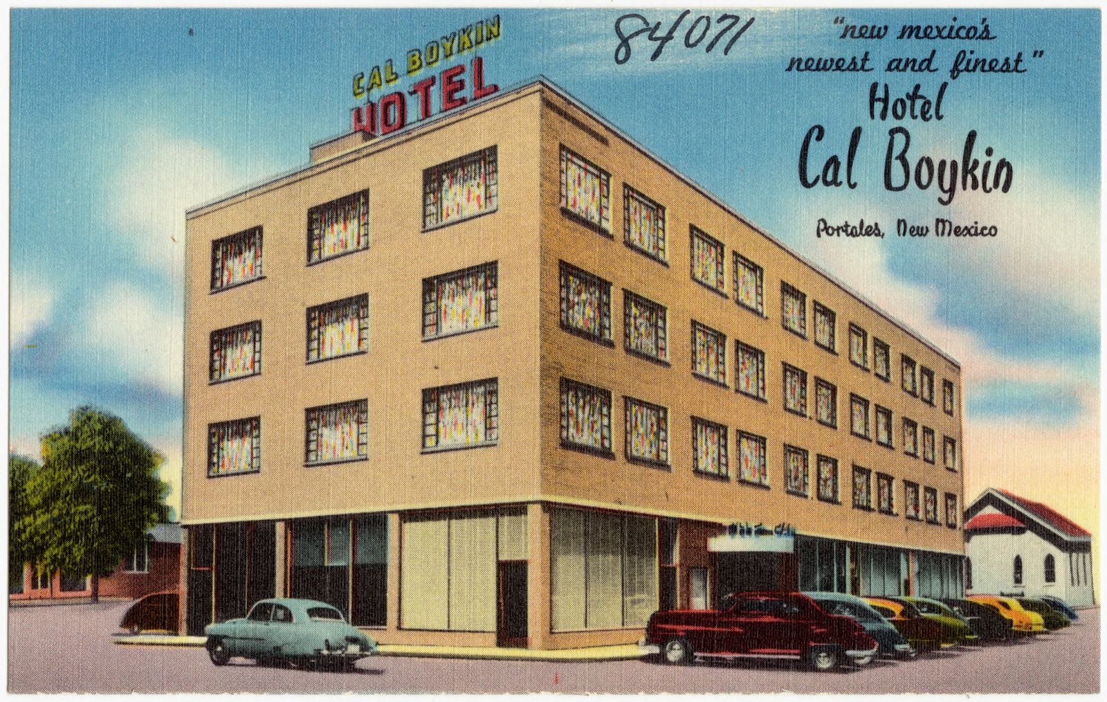
Taken for the Office of War Information and the Farm Security Administration, who photographed the country between 1935 and 1944. Works of United States government photographers, with no known restriction on use. Each opens its catalogue record.
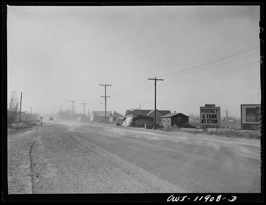
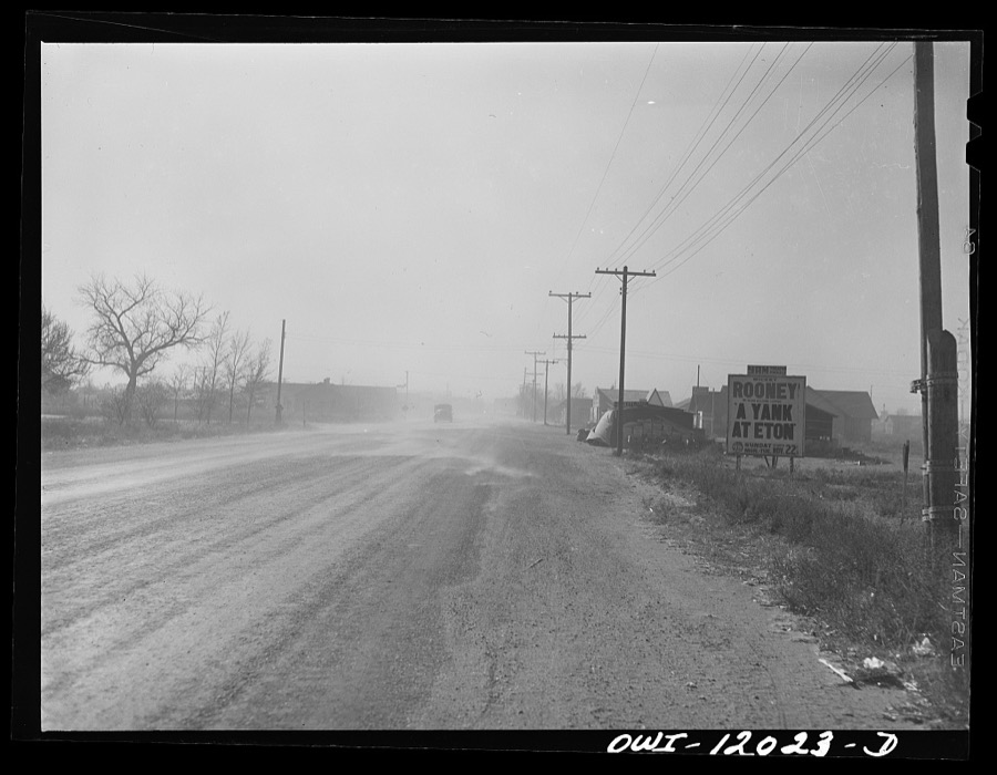
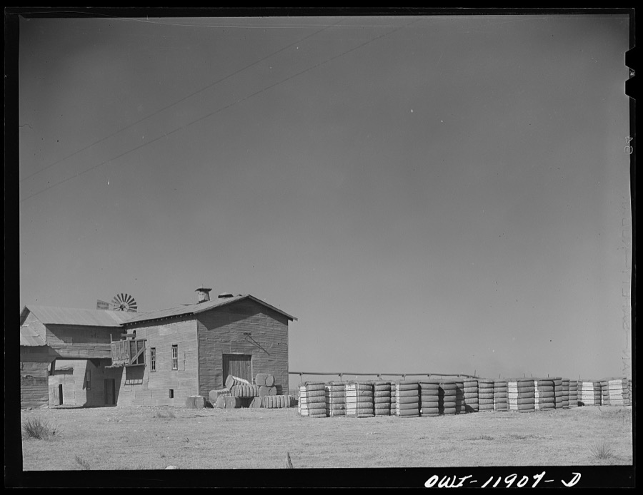
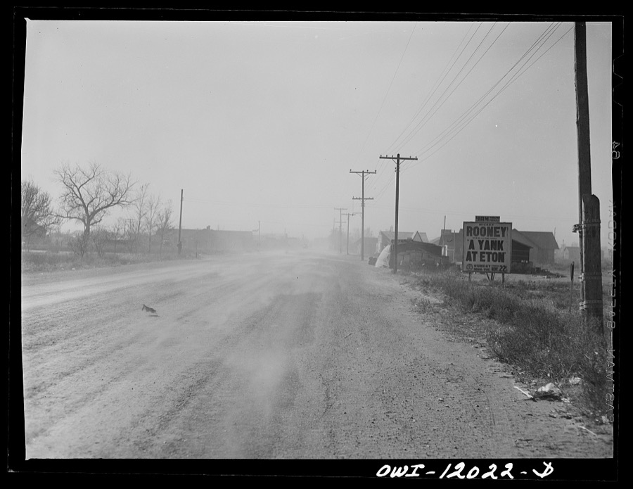
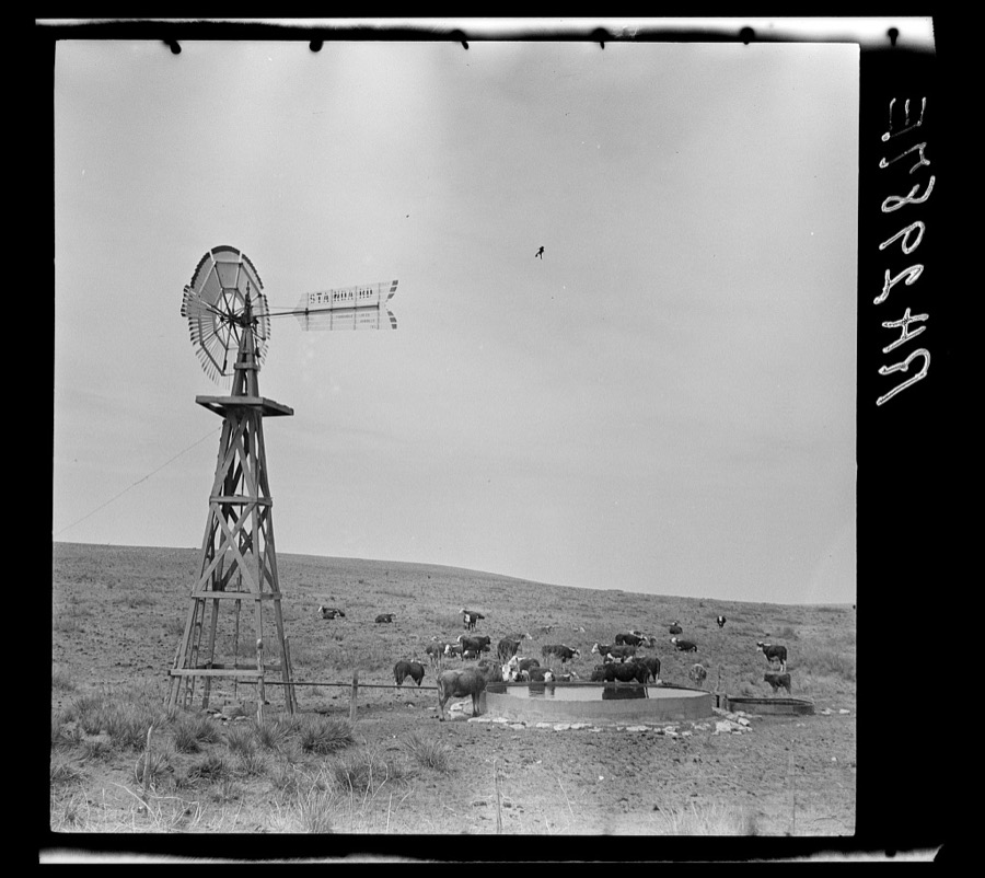
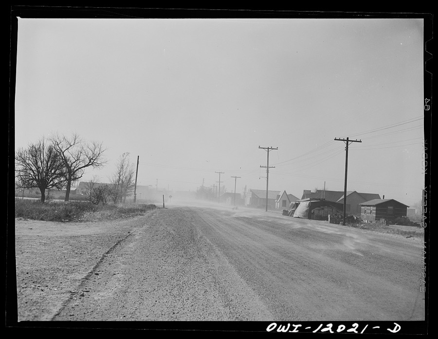
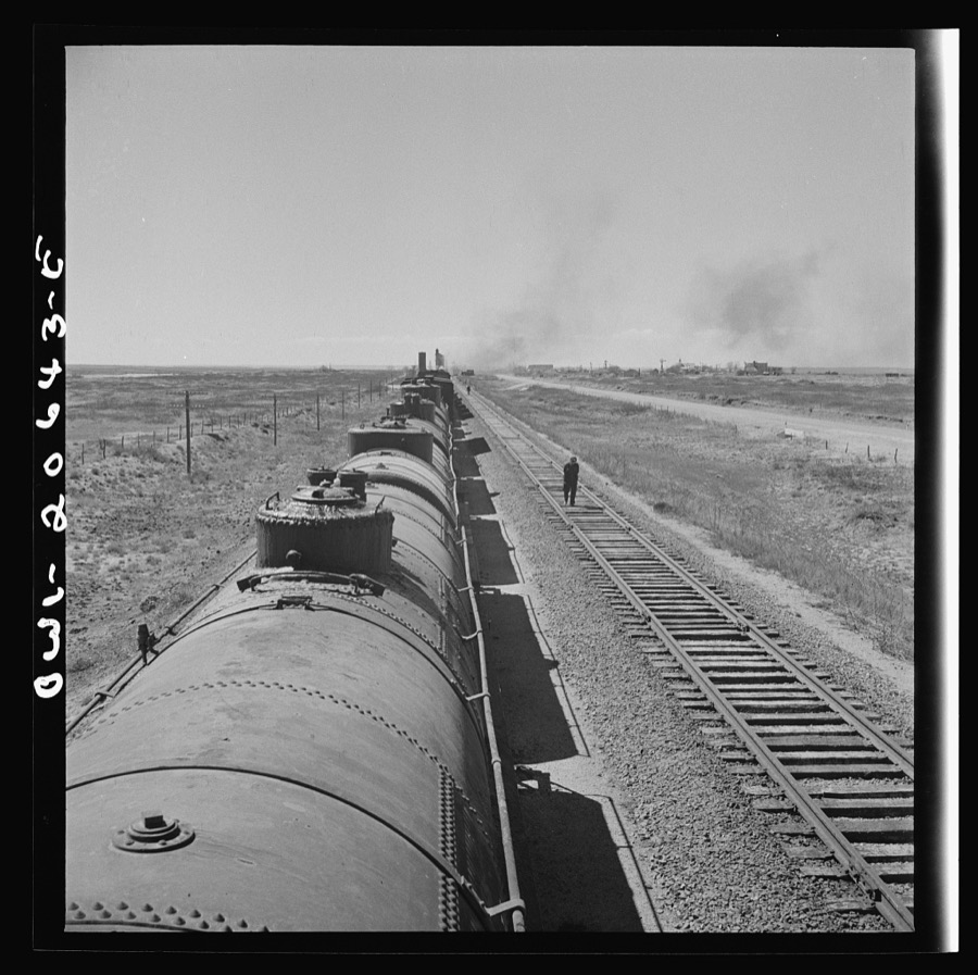
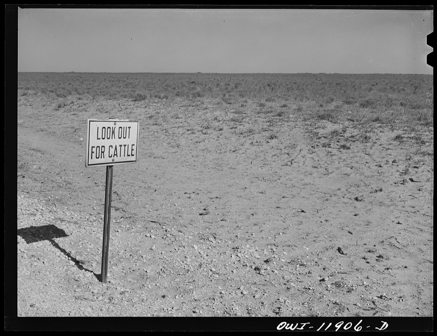
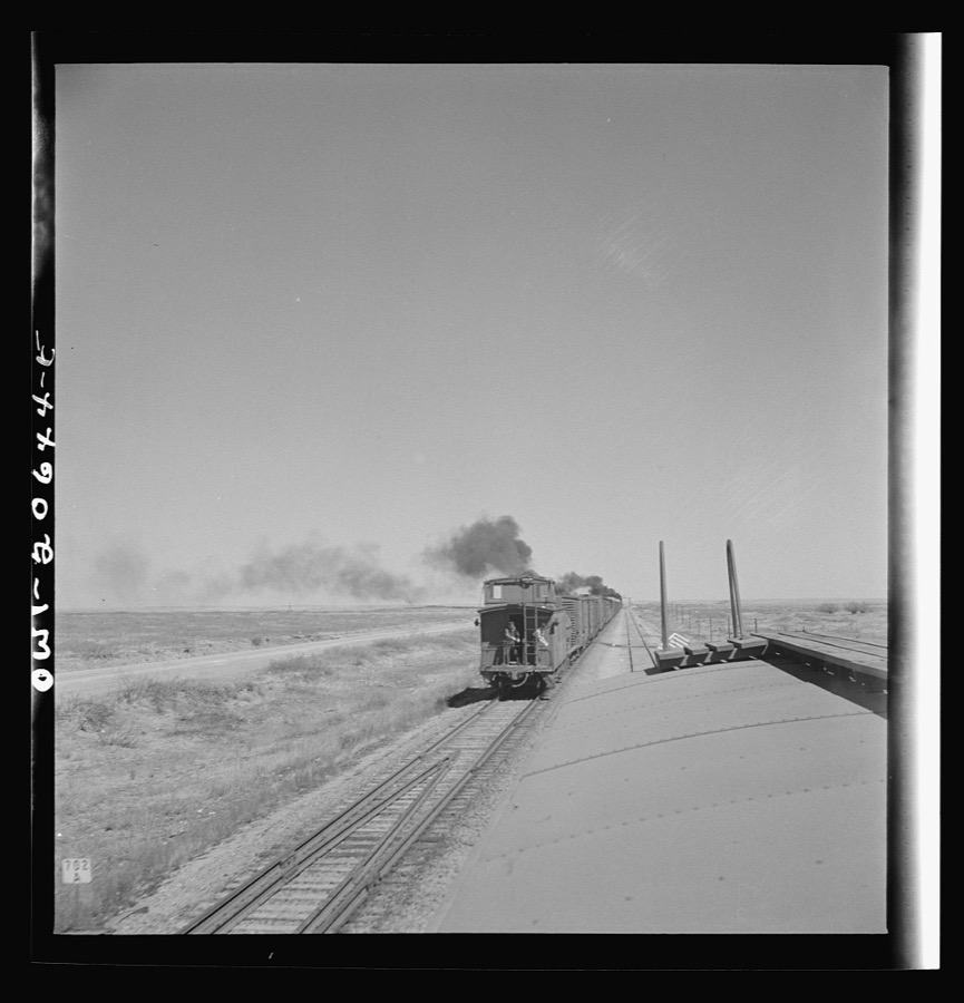
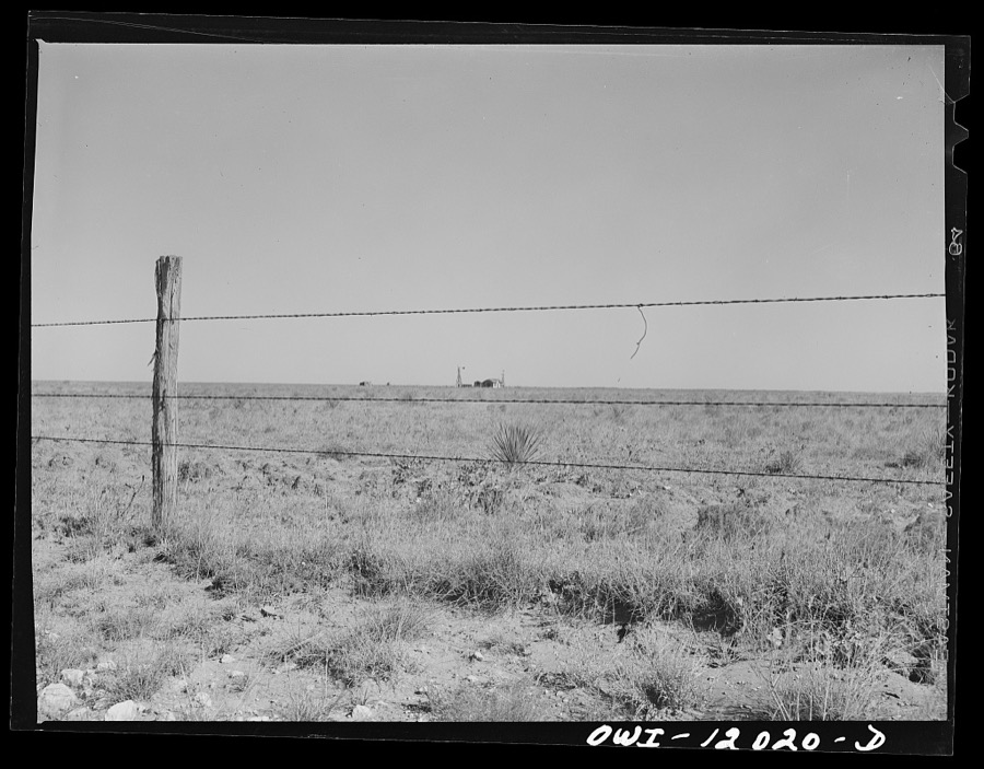
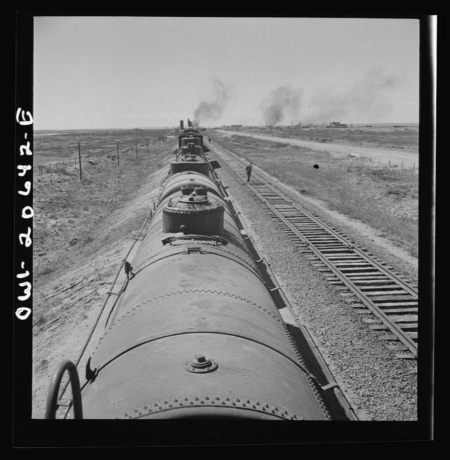
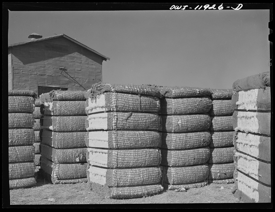
Every property in this county listed on the National Register of Historic Places, with the year it was listed and the federal nomination document.
| Photograph | Property | Type | Listed | Reference |
|---|---|---|---|---|
 | Administration Building | building | 1988 | 88001558 |
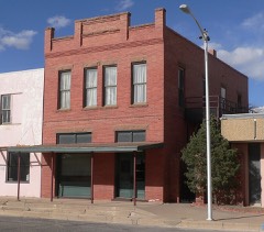 | Bank of Portales | building | 1984 | 84000635 |
| Davis Mercantile | district | 2018 | 100003218 | |
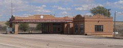 | Midway Service Station | building | 2005 | 04001479 |
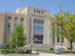 | Roosevelt County Courthouse | building | 2008 | 08001136 |
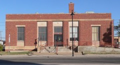 | US Post Office-Portales Main | building | 1990 | 90000140 |
Sampled issues, machine-read from the Library of Congress scan and published page by page, so every headline and column is searchable text.
Kenna, Roosevelt County, N.M., 190? to 1924. Machine-read from the Library of Congress scan.
Selected from the Digital Public Library of America's 2 image records catalogued for this county. Every one shown here carries a public-domain status or a licence that permits reuse on a site that carries advertising; non-commercial, share-alike and restricted images are excluded. The selection is spread across the county's towns (at most eight per town), so no single institution's bulk upload crowds out the rest. Each opens the holding library's record, and the complete set at the Digital Public Library of America is one click away.
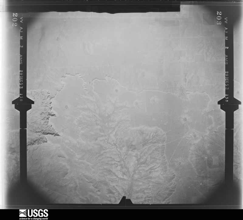
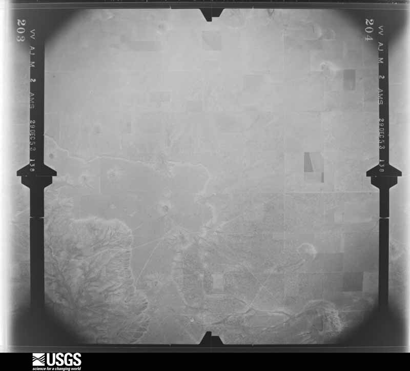
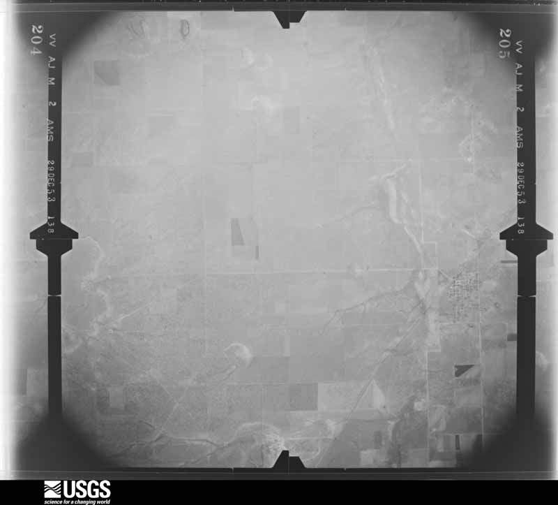
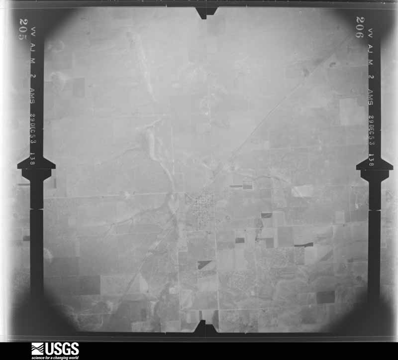
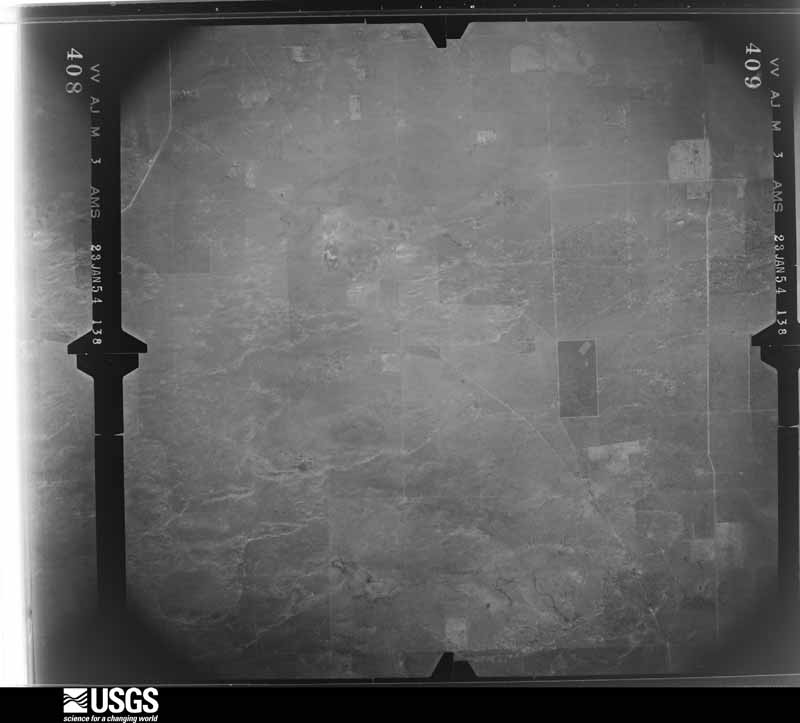
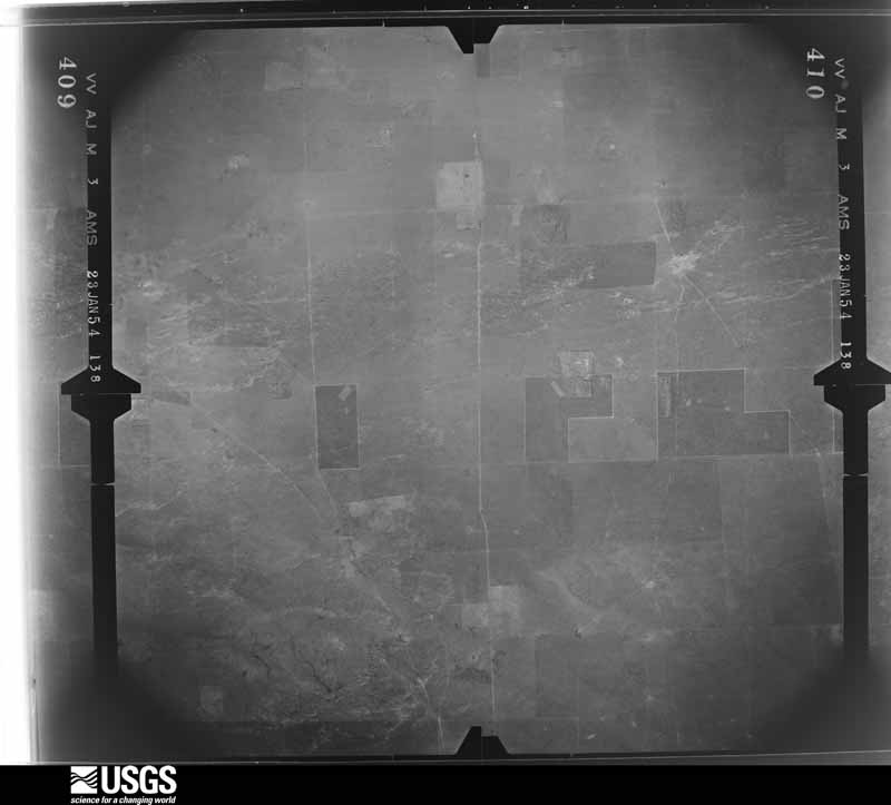
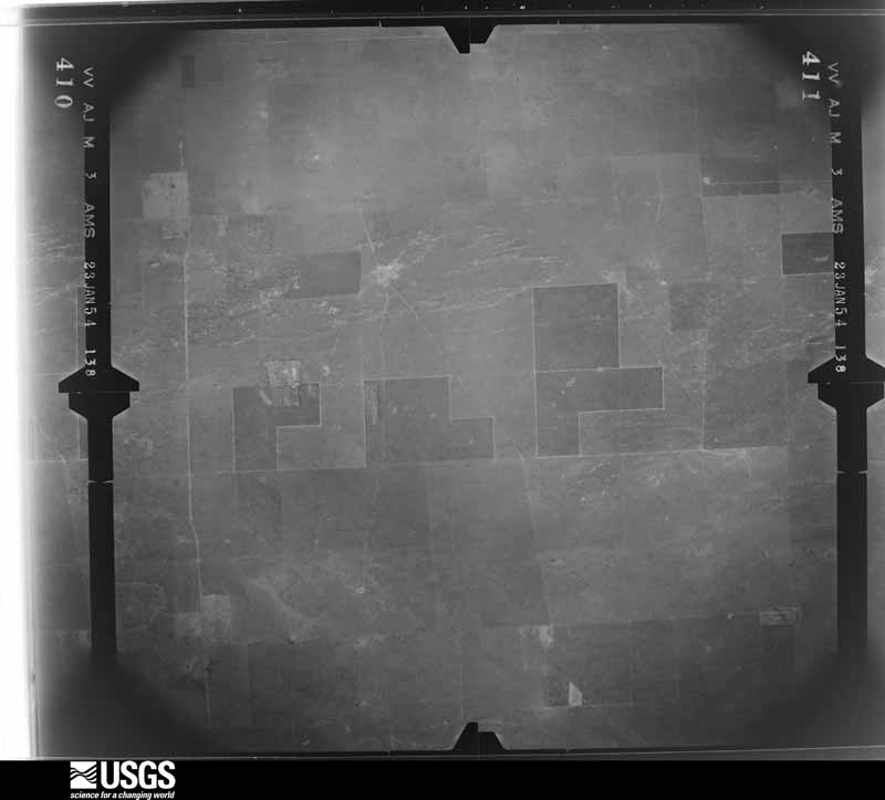
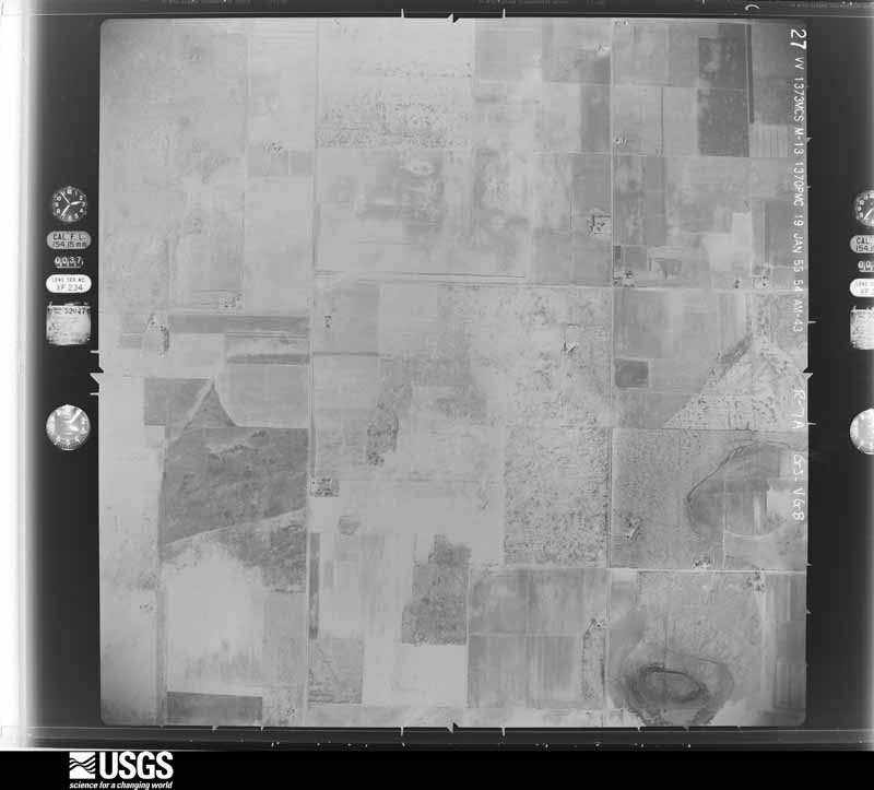
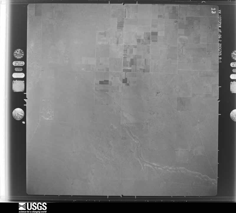
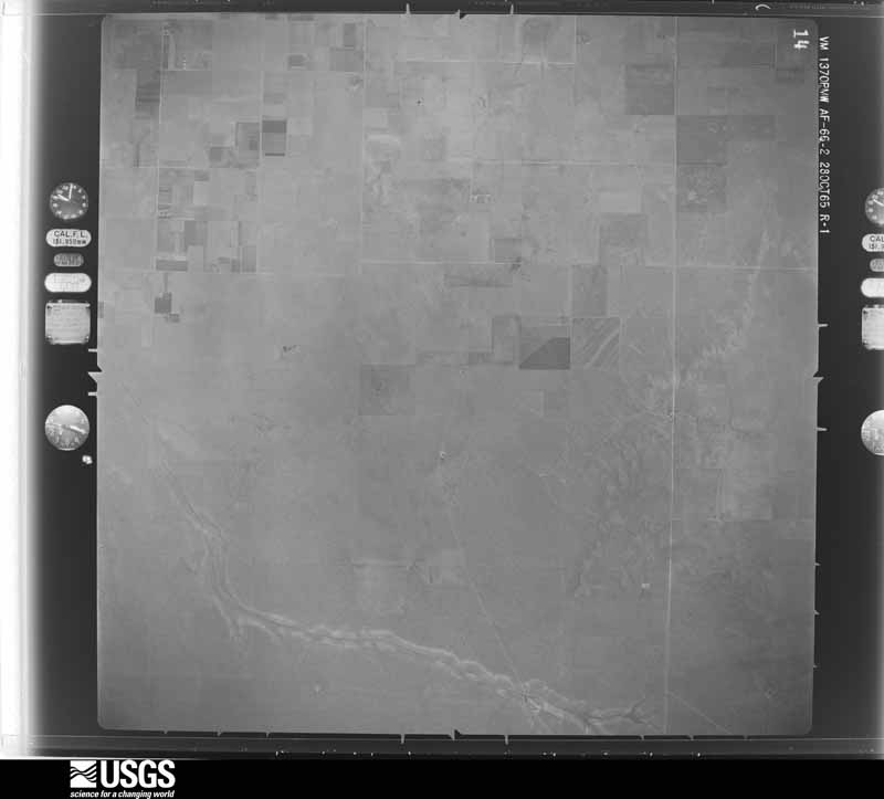
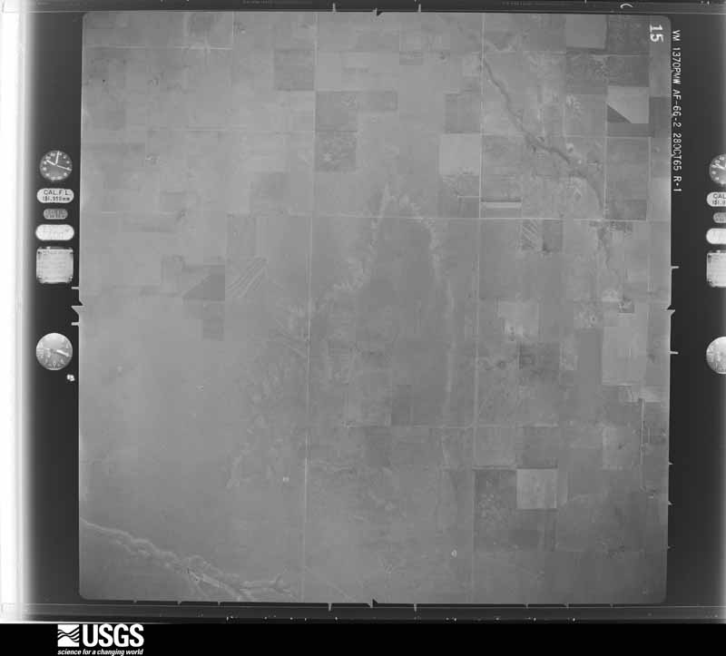
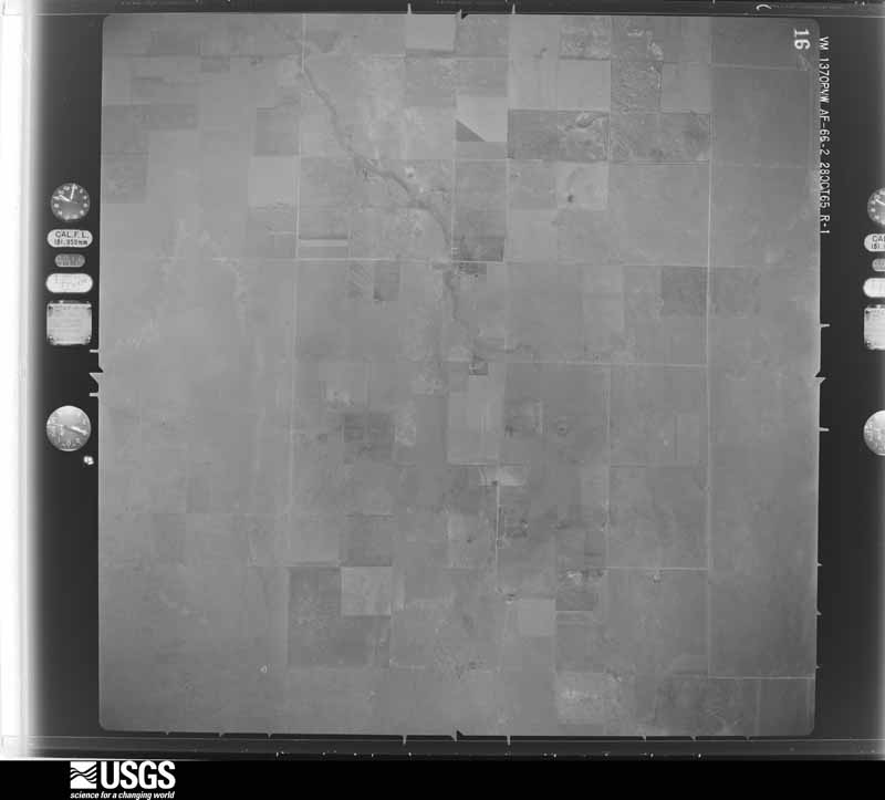
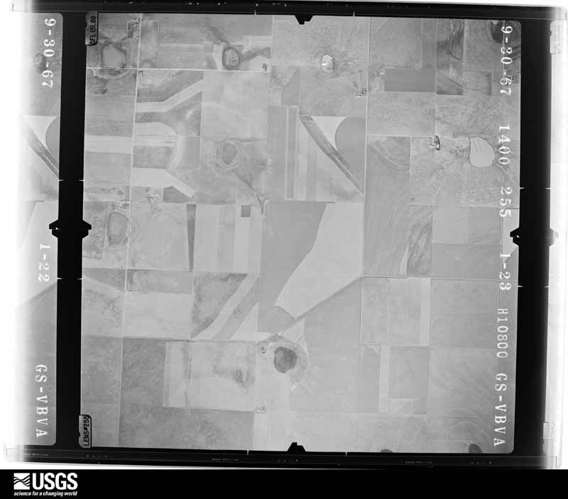
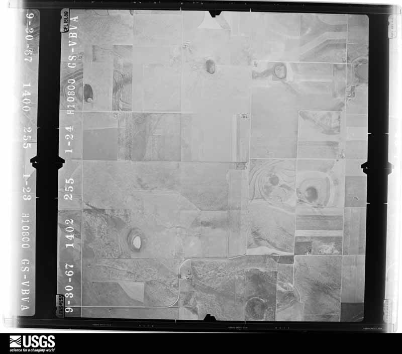
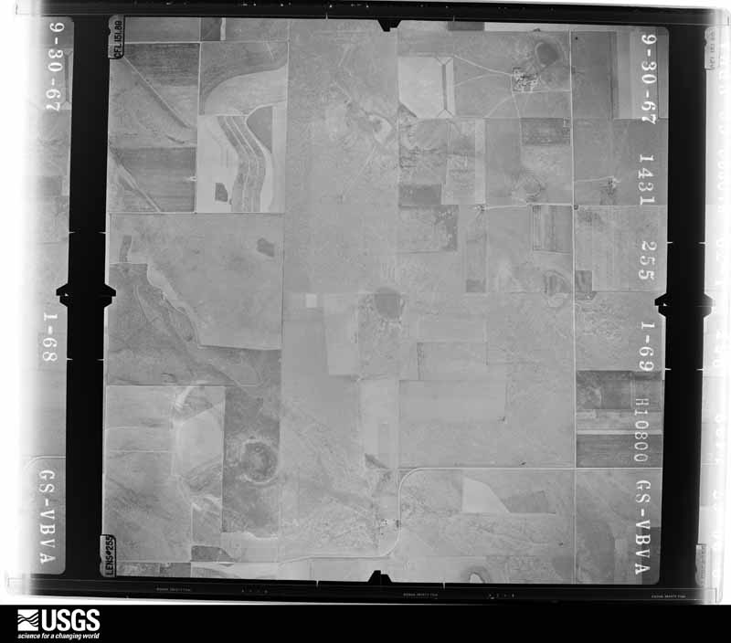
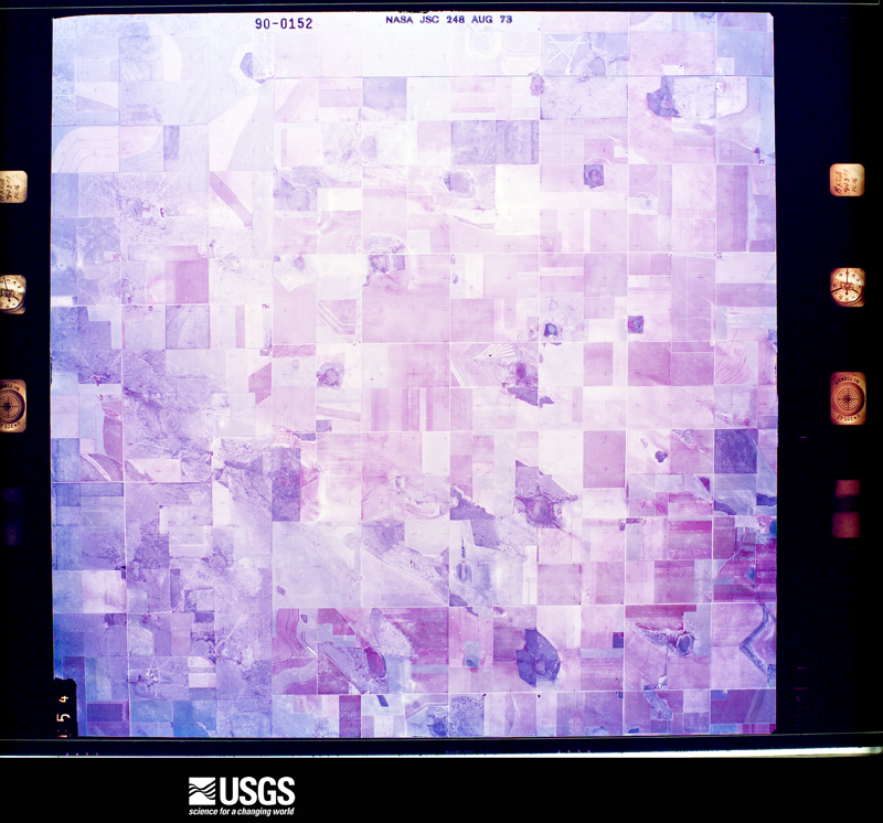
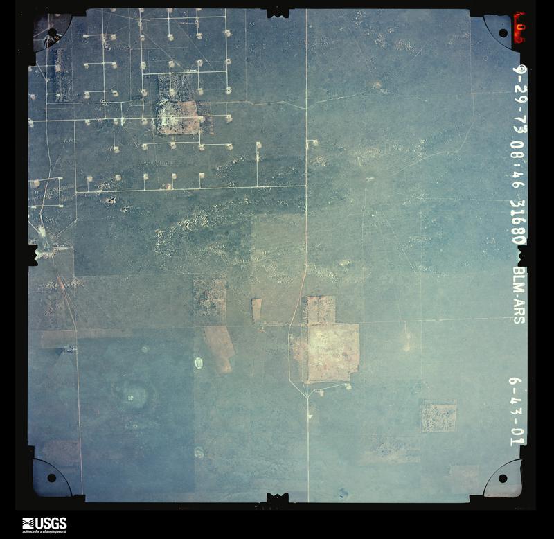
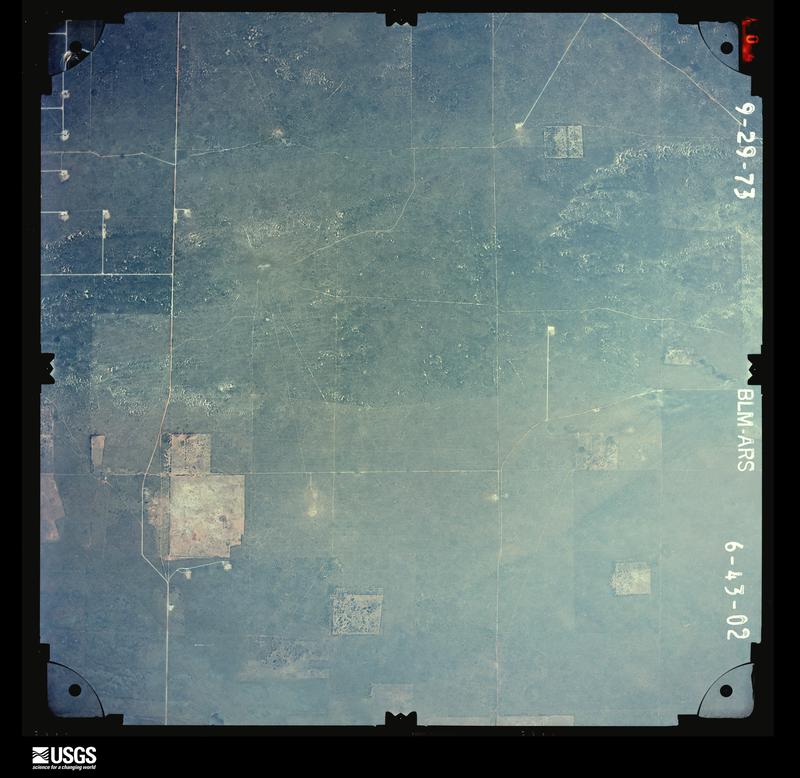
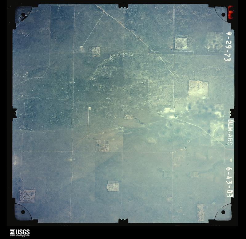
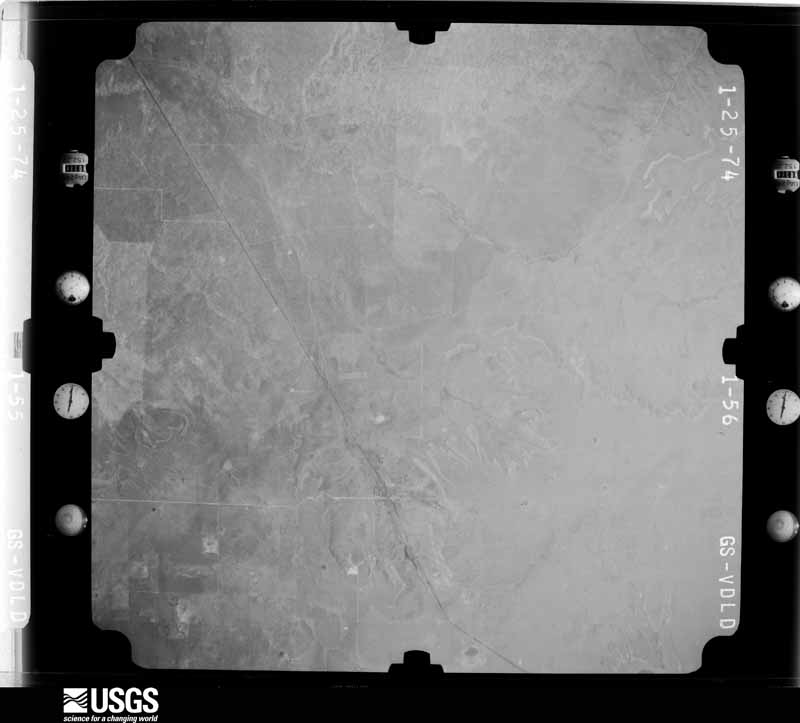
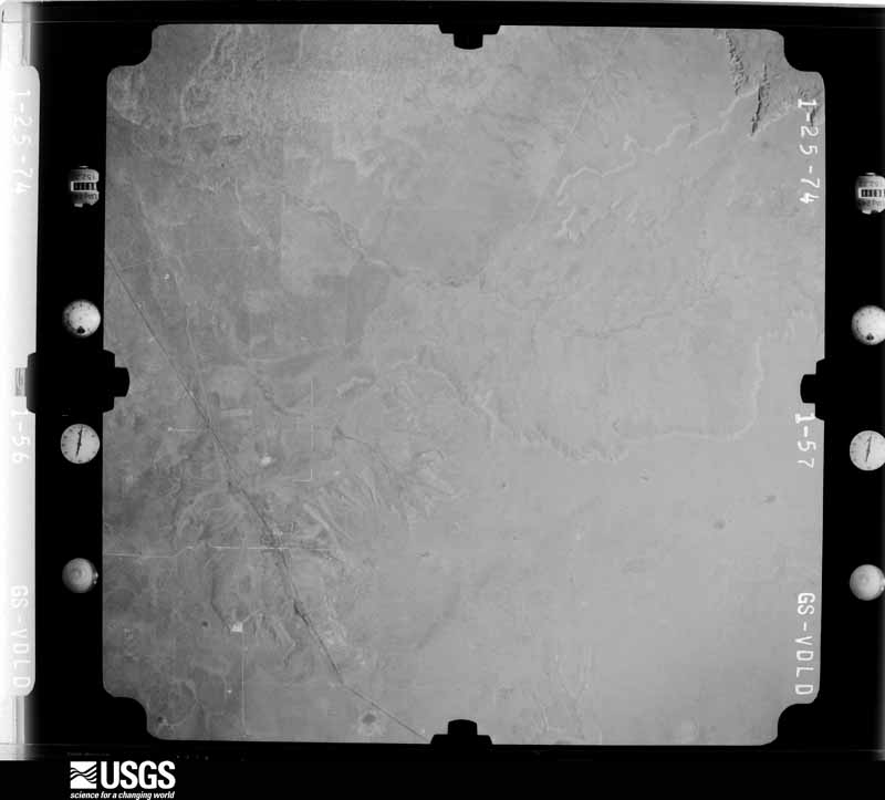
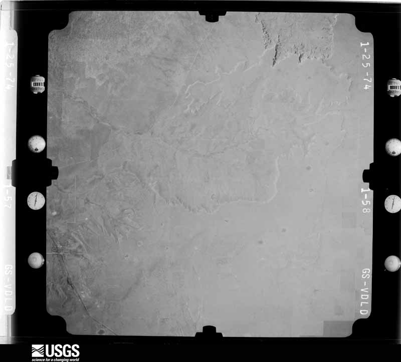
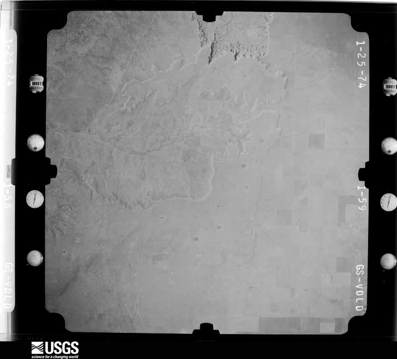
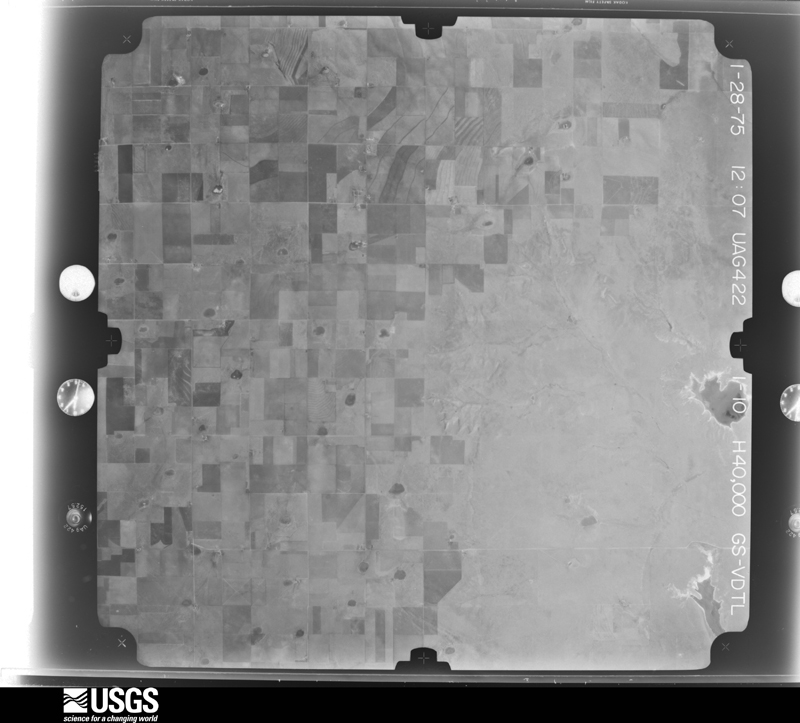
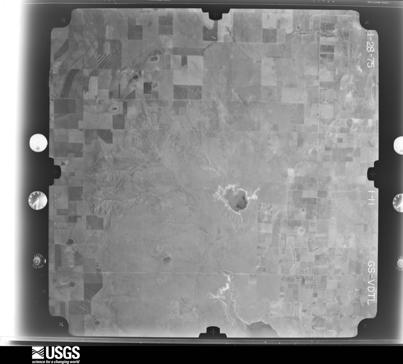
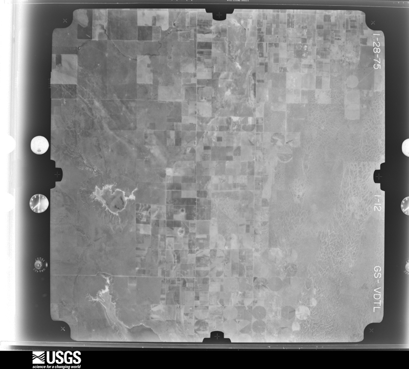
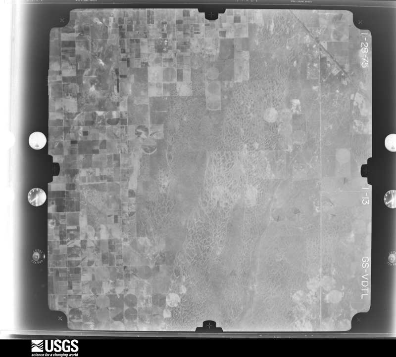
Flown by the U.S. Geological Survey between 1937 and 1989, the Aerial Photo Single Frames collection is the definitive mid-century view of the land: fields, roads and rivers as the camera saw them. The Survey holds 4,624 frames inside the rectangle that bounds this county; the 48 frames below were taken over the county itself, chosen across the decades of flights (at most four a year from that rectangle), so one flight cannot crowd out the rest. The full set is free to browse and download at EarthExplorer under the dataset Aerial Photo Single Frames.
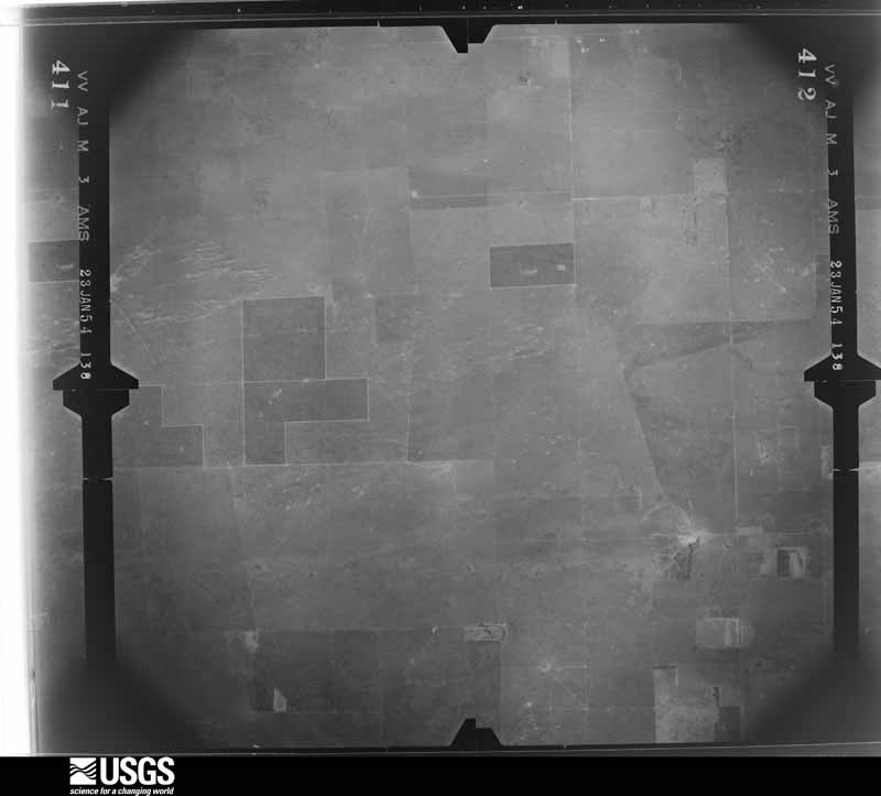
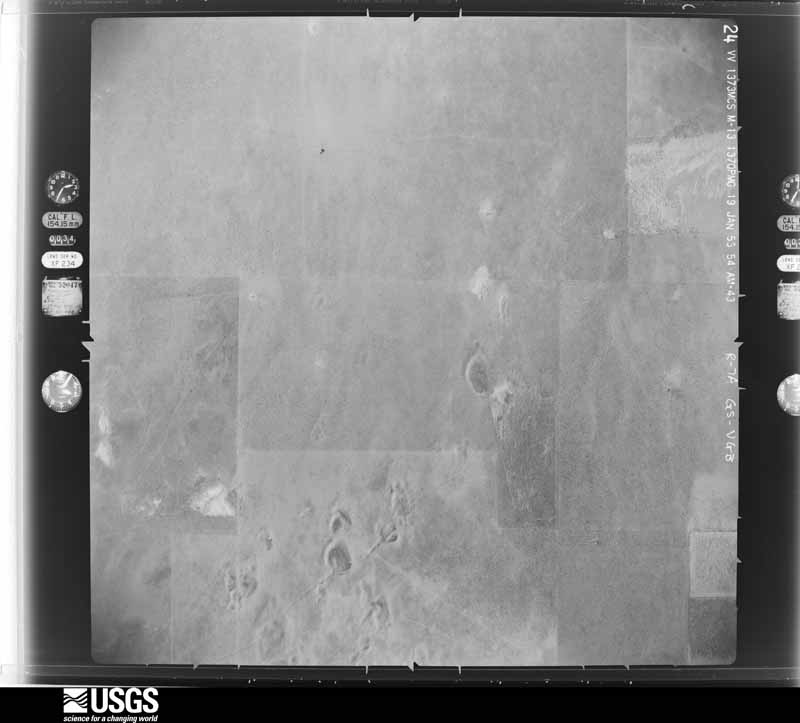
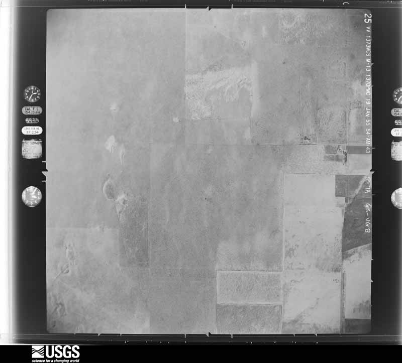
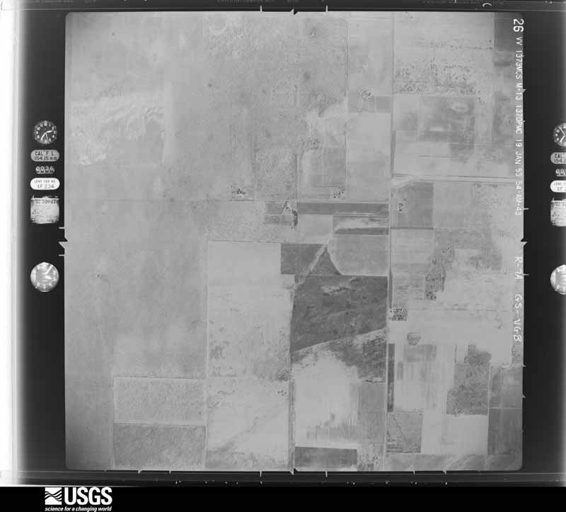
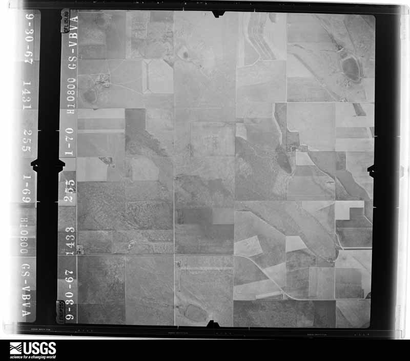
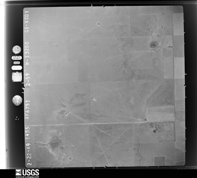
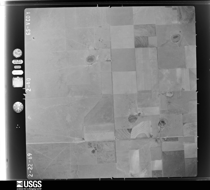
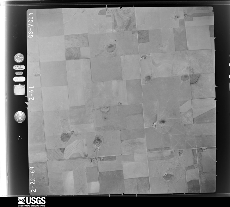
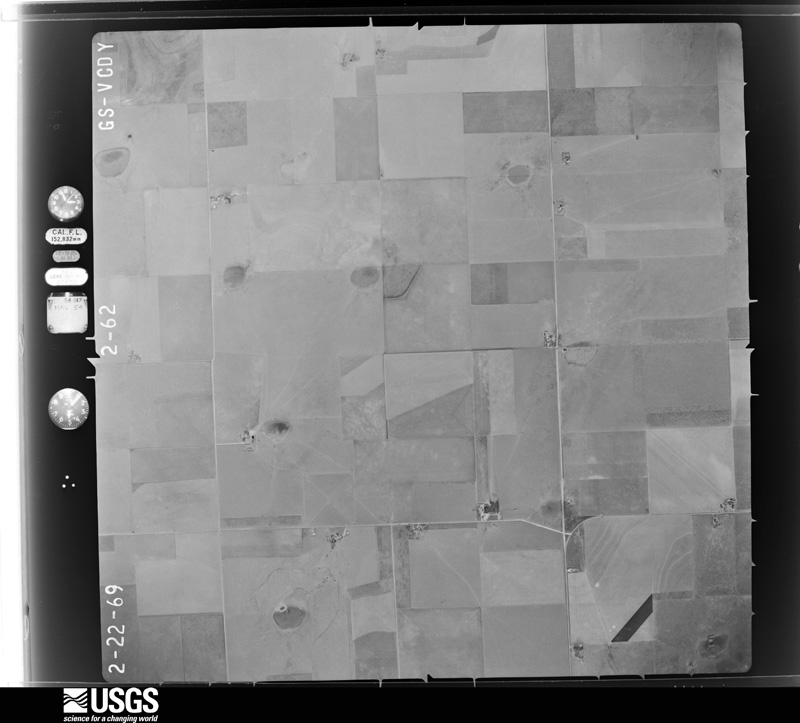
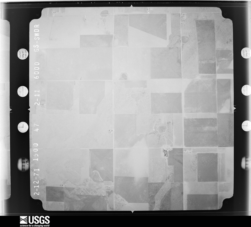

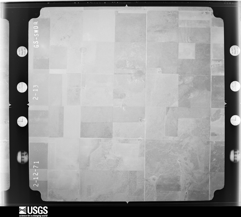
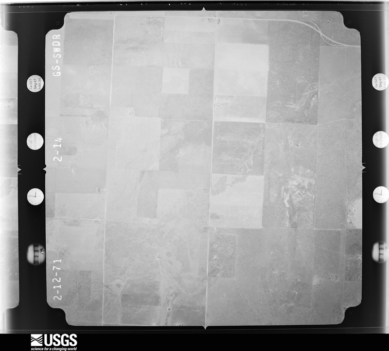
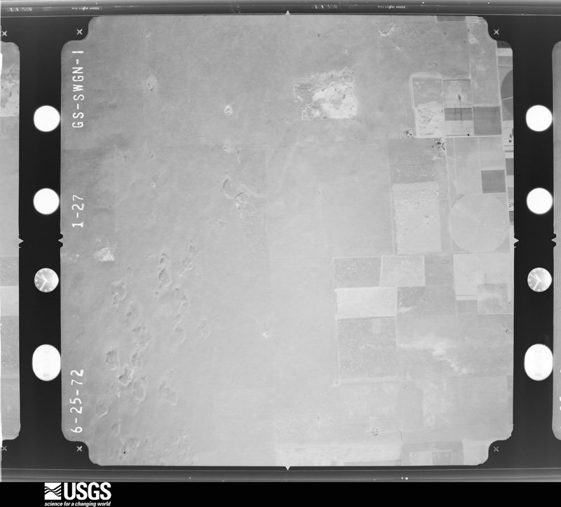
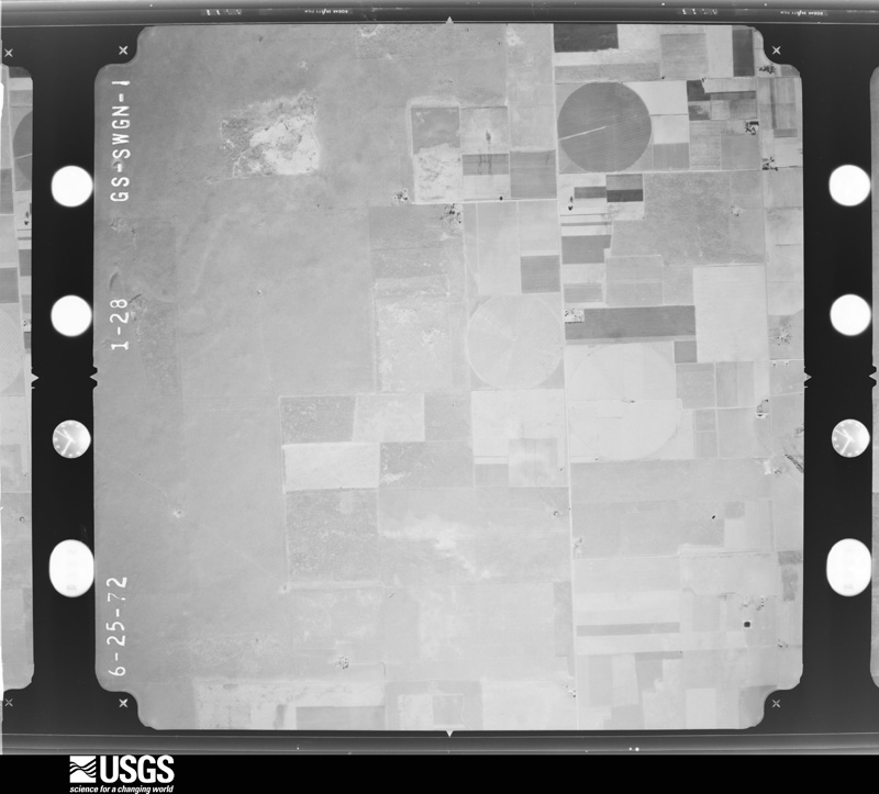
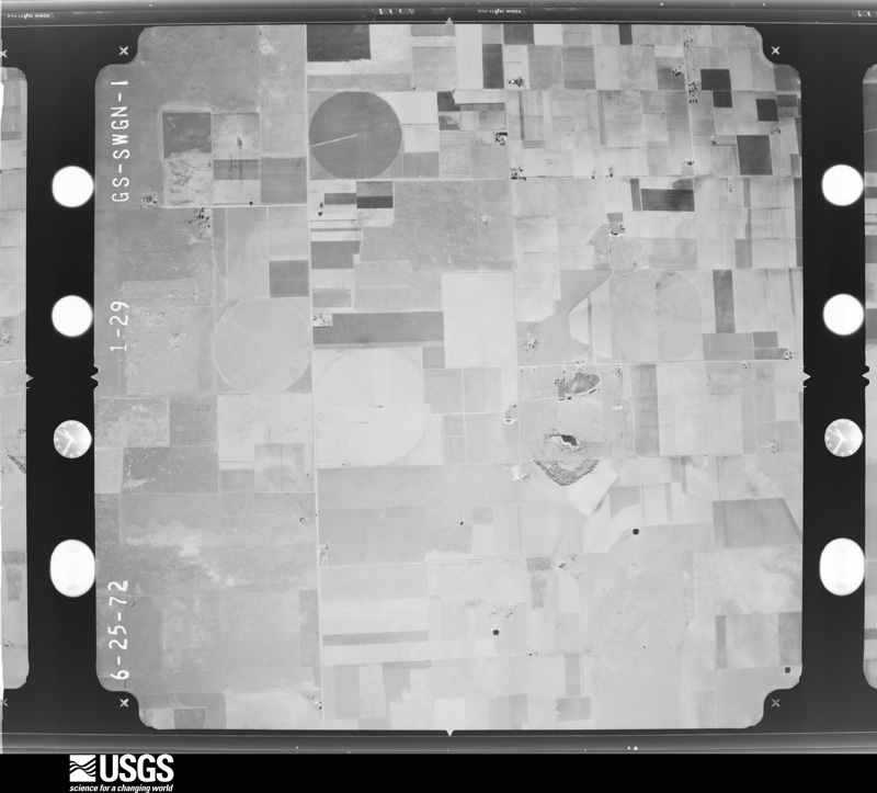
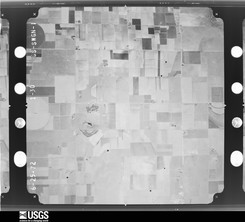
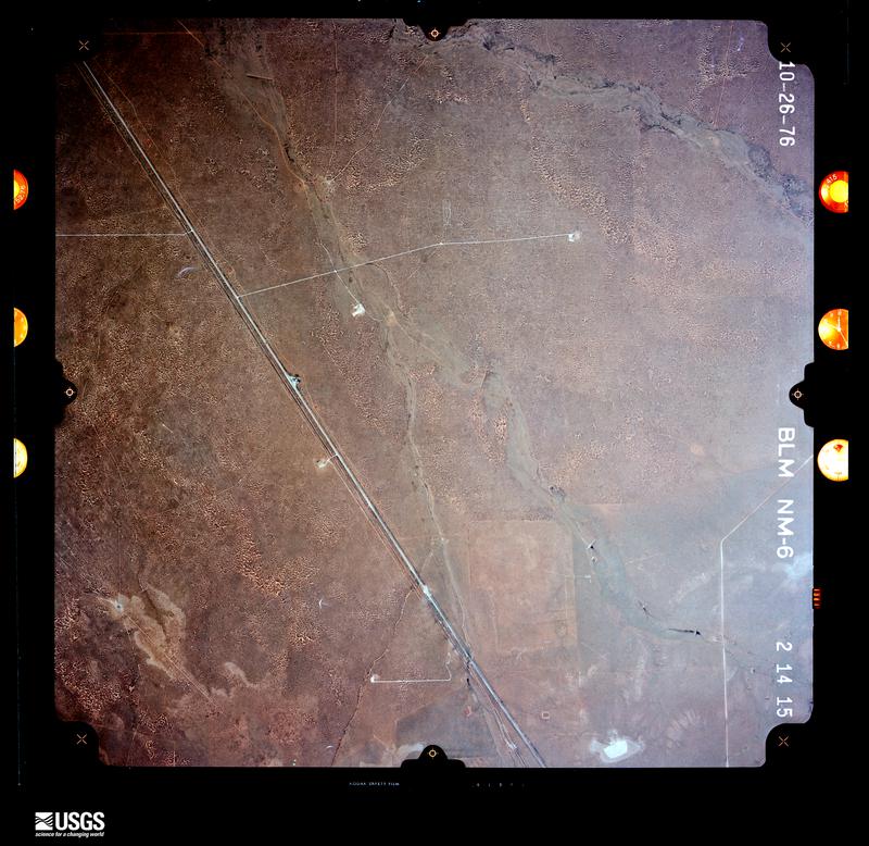
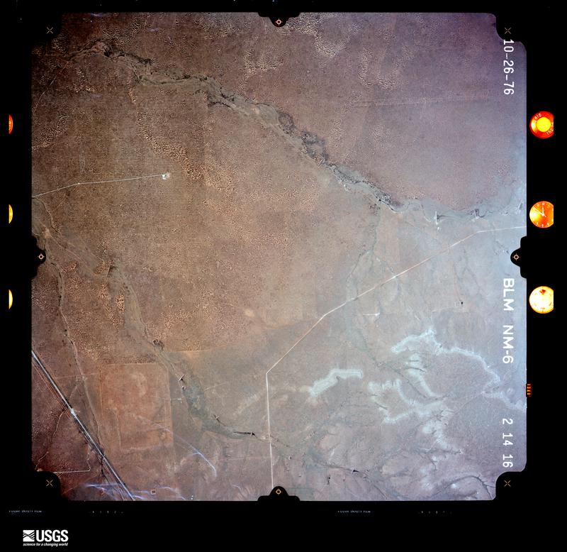
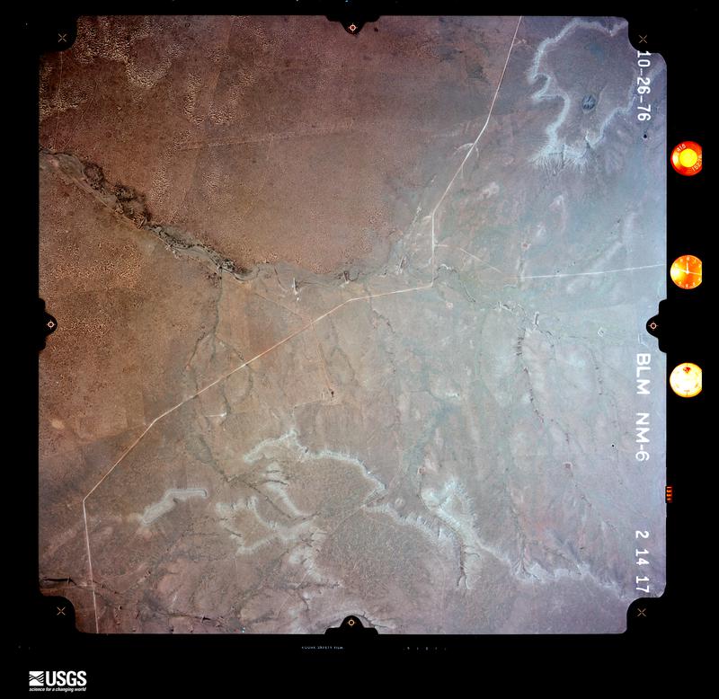
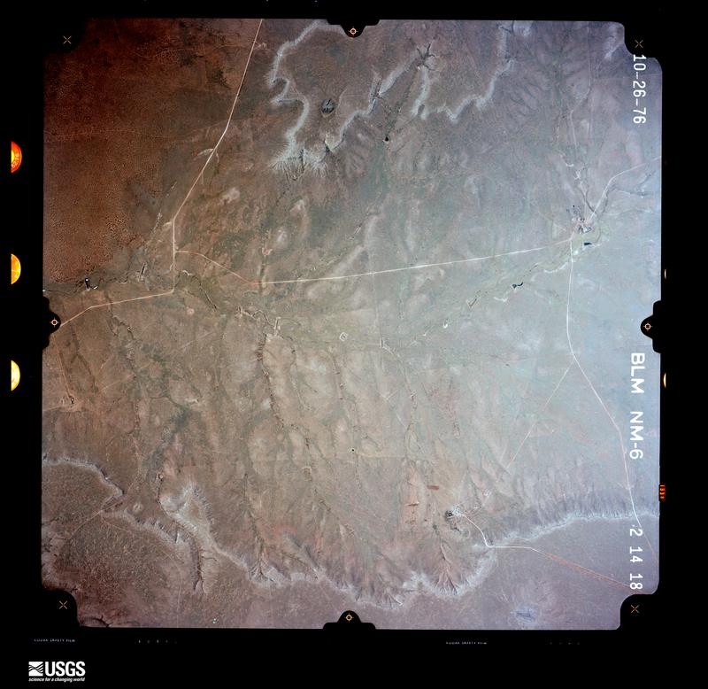
The thermometers that kept this county's weather, as the federal records hold them. The extremes below are measured values from those records, not estimates.
Who lived here in 1950, one enumeration district at a time, as the Census Bureau described each district. Each row opens its official National Archives result, with Population Schedules and ED Maps available there.
Every wildfire the federal occurrence database records inside this county: 1,088 of them, burning about 254,186 acres. 325 started naturally and 7 were recorded as arson. Each settlement page carries the fires within five miles of it.
| Reported cause | Fires |
|---|---|
| Missing data/not specified/undetermined | 510 |
| Natural | 325 |
| Equipment and vehicle use | 137 |
| Debris and open burning | 47 |
| Power generation/transmission/distribution | 36 |
| Smoking | 11 |
| Arson/incendiarism | 7 |
| Railroad operations and maintenance | 5 |
| Fireworks | 5 |
| Recreation and ceremony | 3 |
| Other causes | 2 |
The five largest, by the area the report gives. One of them was set deliberately.
| Date | Cause | Size | Reported by | Name on the report |
|---|---|---|---|---|
| 30 November 2005 | Arson/incendiarism | 26,000 acres | New Mexico State Forestry Division | RANGE |
| 2 March 2016 | Equipment and vehicle use | 18,500 acres | Capitan District | KAISER 8 |
| 17 October 2007 | Equipment and vehicle use | 15,000 acres | New Mexico State Forestry Division | NM 467 |
| 21 May 2006 | Natural | 11,000 acres | New Mexico State Forestry Division | JET |
| 21 May 2006 | Natural | 9,000 acres | New Mexico State Forestry Division | WOODY |
| 15 December 2010 | Other causes | 8,000 acres | Capitan District | HOWARD |
| 21 May 2006 | Natural | 8,000 acres | New Mexico State Forestry Division | PEP 2 |
| 15 January 2008 | Missing data/not specified/undetermined | 7,116 acres | Capitan District | SRR13 |
Every settlement page carries the fires within five miles of it - see the settlement index below.
The NOAA Storm Events Database holds 531 reports for this county, causing no deaths, 9 injuries and about $17,069,780 in recorded property damage. Each settlement page carries the reports that name it.
| Kind of event | Reports |
|---|---|
| Hail | 296 |
| Thunderstorm Wind | 112 |
| Tornado | 61 |
| Flash Flood | 38 |
| Funnel Cloud | 11 |
| Heavy Rain | 9 |
| Flood | 3 |
| Lightning | 1 |
The most serious of them, by death, then injury, then recorded damage. The accounts are quoted exactly as the forecast office filed them.
| When | Event | Place named | Harm | What the report says |
|---|---|---|---|---|
| June 1992 | Hail | not stated | 5 hurt | no account filed |
| July 2004 | Lightning | Portales | 2 hurt | no account filed |
| May 1969 | Tornado (F0) | not stated | 2 hurt | no account filed |
| May 2008 | Thunderstorm Wind | Milnesand | $3,000,000 | Sixteen foot in diameter water tanks knocked over. |
| March 2007 | Tornado (EF2) | Cameo | $2,500,000 | Tornado with estimated peak winds of near 120 mph severely damaged the Portales City water well facility on State Road 202 about 5 miles east of Highway 70. The tornado moved north northwest destroying a new dairy before continuing northwest into Curry County. No injuries reported but storm debris briefly trapped a dairy employee. About 190 dairy cows either killed by the event or else sent to immediate slaughter due to injuries. Average width approximately 200 yards. |
| August 2017 | Flash Flood | Elida | $2,400,000 | Heavy rain that fell on saturated grounds in the area between Portales, Elida, and Dora produced major flash flooding. Several county roads were under water, damaged, and closed. Emergency management estimated total damages across Roosevelt County from flooding topped 2.4 million dollars. |
| May 2019 | Tornado (EF2) | Dora | $2,000,000 | The NWS surveyed damage from a strong tornado that impacted parts of southern Roosevelt County during the early evening of Sunday, May 26, 2019. The tornado lasted nearly 30 minutes and tracked about 10 miles over predominately rural ranch/farmland in southern Roosevelt County. No injuries were reported. Two known properties were impacted: one 4 miles southeast of Dora and another approximately 5 miles east-northeast of Dora. Additionally, considerable damage to electrical infrastructure was noted including ten consecutive power poles snapped several feet above the ground 1-2 miles east of Rogers on the north side of NM 237. Farther southwest, several high voltage power poles/structures were partially collapsed and associated lines downed 2-3 miles south-southeast of Dora. A well-built hay barn that was originally an early 20th century church was completely destroyed. A power pole was snapped 12 feet above the ground, lofted at least 10 feet and driven into the ground 100 yards away. Partial ground scouring was noted along State Road 114 where the tornado crossed near Roosevelt County Rd. M. Based on assessed damage, wind speeds were estimated to be in the 120-130 mph range. Damage estimates are estimated for residential and infrastructure. |
| August 2017 | Thunderstorm Wind | Dora | $2,000,000 | Severe winds downed a one mile stretch of power poles four miles south-southeast of Portales. Metal roofing material was blown several hundred feet away. A large pivot irrigation system was also blown over. |
| August 2017 | Thunderstorm Wind | Rogers | $1,400,000 | Straight line wind gusts estimated up to 85 mph tore the roofs of several buildings three miles south of Portales. Hail and high winds also damaged vehicles in the area. |
| May 1996 | Hail | Portales | $720,000 | no account filed |
| June 2017 | Hail | Portales Arpt | $500,000 | Hail up to the size of golf balls with high winds produced major damage between Portales and Dora. A barn was blown over and a large farming irrigation sprinkler was overturned. One farmer lost a 4200 acre cotton crop. Winds were estimated to be at least 65 mph. |
| August 1996 | Thunderstorm Wind | Portales | $300,000 | no account filed |
| May 2021 | Flash Flood | Portales | $250,000 | Slow-moving thunderstorms in the Portales area produced three to four inches of rainfall in a short period of time. This led to flash flooding in the area where a trained spotter reported some roadways were under 2 feet of water. The Portales Fire Department had to perform a water rescue for a family of three which included two children after their car was swept into a drainage ditch. The family was traveling along 18th Street when their car was swept by the flooded waters and pushed into a culvert headed south along S Globe Street. Their car eventually came to a stop against a pipe that was across the culvert. The family was rescued about 45 minutes after the first 911 call, and no injuries were reported. Damages are estimated for the loss of the car as well as rough estimates for water damages to an unknown amount of structures. |
| June 2017 | Hail | Causey | $250,000 | Hail up to the size of baseballs produced severe damage to the area around Causey. Several homes saw windows smashed out with extension damage to exteriors. Numerous vehicles were also severely damaged. |
| June 2017 | Thunderstorm Wind | Floyd | $250,000 | A large storage trailer with agricultural goods was blown over and contents destroyed. Several farmers in the area experienced total crop loss from large hail and high winds. Damage was also reported to many homes. One home saw hail punctured through the roof and damaged the interior of the residence. |
| June 2012 | Hail | Portales | $250,000 | Softball size hail reported in Portales. |
| May 2023 | Flash Flood | Elida | $100,000 | There were multiple reports of water over Highway 330 north of Elida and along U.S. Highway 70. Vehicles ran off the road partially submerged with Fire/EMS/Police rescuing motorists. |
| May 2019 | Hail | Dora | $100,000 | Baseball size hail fell with a tornadic supercell thunderstorm near Dora, NM resulting in damage to cars and homes. Damage amounts are a rough estimate for several residences. |
| October 2019 | Flash Flood | Floyd | $100,000 | A CoCoRaHS observer near Causey reported a whopping 6.87 of rain in just 24 hours. State Road 267 was closed due to flash flooding between mile markers 11 and 15 west of Portales. |
| June 2017 | Hail | Floyd | $100,000 | Hail up to the size of baseballs. Damage sustained to crops, homes, and vehicles. |
| May 2025 | Tornado (EF1) | Floyd | $50,000 | Overall rating is EF-1 with 90 mph windspeeds based on what damage indicators there were from power pole damage as no structures were impacted. Damage survey found tree damage at the start of the tornado about 3 miles SW of Floyd before tracking northeast over open fields and crossing road NM-267 about 1.5 miles SE of Floyd. The tornado snapped 10 to 15 power poles near the bases of the poles as it continued to move northeast. Another 20 power poles were snapped on Roosevelt Road 3. This stretch of the tornado track includes its peak intensity and width with low end EF-1 damage (winds speeds near 90 mph). The tornado weakened as it tracked NE towards Roosevelt Road 2 and a dairy plant. There was a mangled farm sprinkler system to the SW of the dairy and minor damage to fences and metal roofing at the dairy plant. |
| June 2025 | Tornado (EFU) | Causey | $50,000 | Broadcast media reported a tornado 3 miles SSW of Causey. The tornado resulted in downed power lines and trees in the area at S Roosevelt RD 30 and S Roosevelt Rd H. |
| June 2017 | Hail | Dora | $50,000 | Hail up to the size of hen eggs produced severe damage to a home northeast of Dora. Windows, skylights, satellite dishes, and siding were destroyed. |
| June 2017 | Hail | Lingo | $50,000 | Hail up to the size of golf balls produced damage to the roof and windows of a home near Lingo. |
| June 2013 | Thunderstorm Wind | Portales | $50,000 | A CoCoRaHS observer estimated a thunderstorm wind gust near 60 mph from the northwest that resulted in a power outage for several hours. Additionally, over one and a half inches of rain was measured but no hail observed. Numerous downed power lines were reported across Roosevelt County. |
| August 1996 | Hail | Portales | $50,000 | no account filed |
| May 1999 | Thunderstorm Wind | Portales | $40,000 | High winds ripped across the southern Portales area deroofing several barns and downing power poles. |
| July 2009 | Thunderstorm Wind | Portales | $30,000 | A roof was blown off a building and one wall collapsed at 109 W. 2nd St. |
| June 1999 | Thunderstorm Wind | Portales | $30,000 | Strong winds destroyed several barns just west of Portales. |
| June 2021 | Thunderstorm Wind | Portales | $25,000 | A severe thunderstorm tracking southeast through Portales downed several power lines along Commercial Street and along U.S. Highway 70. Damages are estimated for the downed power lines. |
| August 2020 | Thunderstorm Wind | Bethel | $25,000 | A trained spotter measured a 61 mph wind gust with a severe thunderstorm east of Floyd. These strong winds were also responsible for wind damage in the area. The siding on a home was damaged, and large tree limbs were broken. The thunderstorm was also responsible for damaging 120 acres of corn. Wind damage to crops and a home were estimated to be closer to 75 mph. Damage amounts are a rough estimate. |
| June 2009 | Hail | Cameo | $25,000 | Hail and strong winds knocked siding off of a home, broke house windows and piled up over one foot deep on Route 202, east of U.S. Highway 70. A funnel cloud was also reported to be in the area. |
| June 1981 | Tornado (F1) | not stated | $25,000 | no account filed |
| July 1979 | Tornado (F0) | not stated | $25,000 | no account filed |
| May 1959 | Tornado (F1) | not stated | $25,000 | no account filed |
| April 1957 | Tornado (F2) | not stated | $25,000 | no account filed |
| May 2023 | Hail | Causey | $20,000 | There was a public report of 2.5 inch hail busting out the windows on the southside of most buildings in town. |
| July 2012 | Thunderstorm Wind | Floyd | $20,000 | Powerful thunderstorm winds downed two power poles, overturned one center pivot irrigation unit, blew over a feed trailer, and downed at least one large tree. |
| March 2007 | Tornado (EF0) | Milnesand | $20,000 | Small short lived tornado reported over the open rangeland southwest of Milnesand. Golfball size hail reported in the village. Damage limited to series of downed power poles and electric lines. |
| June 2003 | Tornado (F0) | Portales | $20,000 | Damage from possible brief tornado reported east side of Portales. |
| July 2001 | Thunderstorm Wind | Portales | $20,000 | Several tin roofs were blown off and steel poles bent during a strong storm west of Portales on Highway 267. |
| July 2009 | Thunderstorm Wind | Portales | $15,000 | There were large tree branches and power lines downed from high winds. |
| September 1999 | Thunderstorm Wind | Portales | $15,000 | High winds downed power lines and ripped tim off several roofs in Portales. |
| May 2024 | Thunderstorm Wind | Pep | $10,000 | The Roosevelt County Emergency Manager reported downed utility poles at South County Road 33 and South County Road P. Wind speed is an estimate based on damage. |
| May 2021 | Hail | Portales | $10,000 | Several trained spotters in Portales reported hail ranging from the size of quarters to the size of golf balls from a slow-moving severe thunderstorm. Hail accumulations of one to two inches in the area resulted in the collapse of a patio roof at one residence in Portales. Damages are estimated for the destruction of the roof. |
| June 2017 | Hail | Portales Arpt | $10,000 | Hail at least the size of nickels. The combination of hail and wind gusts up to 55 mph produced some damage to outbuildings southwest of Portales. |
| August 2013 | Flash Flood | Portales | $10,000 | Flooding reported around Portales High School. Numerous sandbags and resources deployed to prevent significant residential flooding. |
| June 2012 | Hail | Dora | $10,000 | Baseball size hail reported 1 mile north of Dora. |
| July 2011 | Thunderstorm Wind | Portales | $10,000 | Several trees and large limbs were downed by strong wind gusts in Portales, along U.S. Highway 70. |
| June 2007 | Thunderstorm Wind | Portales | $10,000 | The windows were blown out of a commercial building. Power lines and poles were blown down. |
| October 2000 | Flash Flood | Portales | $10,000 | no account filed |
| June 2012 | Thunderstorm Wind | Portales | $5,000 | Power pole snapped leading to power outages. |
| July 2010 | Flash Flood | Portales | $5,000 | There was 18 inches of standing water on 18th St. in the southern portion of Portales. |
| July 2009 | Thunderstorm Wind | Portales | $5,000 | Large tree branches were downed all along 18th street. |
| August 2008 | Thunderstorm Wind | Floyd | $5,000 | Thunderstorm winds blew over a crop sprinkler near Floyd and tiles off roofs in Portales. |
| June 2003 | Thunderstorm Wind | Portales | $5,000 | no account filed |
| June 1994 | Hail | Portales | $5,000 | no account filed |
| July 2021 | Thunderstorm Wind | Elida | $4,000 | A trained spotter reported that a truck bed had been blown over from strong thunderstorm winds near Elida. Damages are estimated for the truck bed. |
| October 2005 | Thunderstorm Wind | Milnesand | $3,000 | no account filed |
| July 1978 | Tornado (F0) | not stated | $2,500 | no account filed |
The Survey's mineral resources record lists 112 workings inside this county. 3 still produce and 109 are closed or unrecorded. Each settlement page carries the workings within five miles of it.
| Commodity | Workings |
|---|---|
| Sand and Gravel, Construction | 107 |
| Limestone, General | 2 |
| Stone, Crushed/Broken, Sand and Gravel, Construction | 1 |
| Diatomite | 1 |
| Sulfur | 1 |
The least common of them first, because a county's hundredth gravel pit says nothing its first ten did not.
| Where | Site | Commodity | Status | Recorded |
|---|---|---|---|---|
| Bluitt Sulphur Plant | Sulfur | Producer | ||
| Name Unknown Diatomite Prospect | Diatomite | Occurrence | Sedimentary | |
| Valley Tolar Pit No. 1 | Stone, Crushed/Broken, Sand and Gravel, Construction | Past Producer | 1992 | |
| Nunn Pit | Limestone, General | Producer | Caliche | |
| Shasta #1 | Limestone, General | Producer | Sedimentary | |
| Daugherty Mine | Sand and Gravel, Construction | Unknown | ||
| Dickenson Pit | Sand and Gravel, Construction | Unknown | ||
| Eastwood Pit | Sand and Gravel, Construction | Unknown | ||
| Materials Pit | Sand and Gravel, Construction | Unknown | ||
| Materials Pit | Sand and Gravel, Construction | Unknown | ||
| Materials Pit | Sand and Gravel, Construction | Unknown | ||
| Materials Pit | Sand and Gravel, Construction | Unknown | ||
| Materials Pit | Sand and Gravel, Construction | Unknown | ||
| Materials Pit | Sand and Gravel, Construction | Unknown | ||
| Materials Pit | Sand and Gravel, Construction | Unknown | ||
| Materials Pit | Sand and Gravel, Construction | Unknown | ||
| Materials Pit | Sand and Gravel, Construction | Unknown | ||
| Materials Pit | Sand and Gravel, Construction | Unknown | ||
| Materials Pit | Sand and Gravel, Construction | Unknown | ||
| Materials Pit | Sand and Gravel, Construction | Unknown | ||
| Materials Pit | Sand and Gravel, Construction | Unknown | ||
| Materials Pit | Sand and Gravel, Construction | Unknown | ||
| Materials Pit | Sand and Gravel, Construction | Unknown | ||
| Materials Pit | Sand and Gravel, Construction | Unknown | ||
| Materials Pit | Sand and Gravel, Construction | Unknown | ||
| Materials Pit | Sand and Gravel, Construction | Unknown | ||
| Materials Pit | Sand and Gravel, Construction | Unknown | ||
| Materials Pit | Sand and Gravel, Construction | Unknown | ||
| Materials Pit | Sand and Gravel, Construction | Unknown | ||
| Materials Pit | Sand and Gravel, Construction | Unknown | ||
| Materials Pit | Sand and Gravel, Construction | Unknown | ||
| Materials Pit | Sand and Gravel, Construction | Unknown | ||
| Materials Pit | Sand and Gravel, Construction | Unknown | ||
| Materials Pit | Sand and Gravel, Construction | Unknown | ||
| Materials Pit | Sand and Gravel, Construction | Unknown | ||
| Materials Pit | Sand and Gravel, Construction | Unknown | ||
| Materials Pit | Sand and Gravel, Construction | Unknown | ||
| Materials Pit | Sand and Gravel, Construction | Unknown | ||
| Materials Pit | Sand and Gravel, Construction | Unknown | ||
| Materials Pit | Sand and Gravel, Construction | Unknown | ||
| Materials Pit | Sand and Gravel, Construction | Unknown | ||
| Materials Pit | Sand and Gravel, Construction | Unknown | ||
| Materials Pit | Sand and Gravel, Construction | Unknown | ||
| Materials Pit | Sand and Gravel, Construction | Unknown | ||
| Materials Pit | Sand and Gravel, Construction | Unknown | ||
| Materials Pit | Sand and Gravel, Construction | Unknown | ||
| Materials Pit | Sand and Gravel, Construction | Unknown | ||
| Materials Pit | Sand and Gravel, Construction | Unknown | ||
| Materials Pit | Sand and Gravel, Construction | Unknown | ||
| Materials Pit | Sand and Gravel, Construction | Unknown | ||
| Materials Pit | Sand and Gravel, Construction | Unknown | ||
| Materials Pit | Sand and Gravel, Construction | Unknown | ||
| Materials Pit | Sand and Gravel, Construction | Unknown | ||
| Materials Pit | Sand and Gravel, Construction | Unknown | ||
| Materials Pit | Sand and Gravel, Construction | Unknown | ||
| Materials Pit | Sand and Gravel, Construction | Unknown | ||
| Materials Pit | Sand and Gravel, Construction | Unknown | ||
| Materials Pit | Sand and Gravel, Construction | Unknown | ||
| Materials Pit | Sand and Gravel, Construction | Unknown | ||
| Materials Pit | Sand and Gravel, Construction | Unknown | ||
| Materials Pit | Sand and Gravel, Construction | Unknown | ||
| Materials Pit | Sand and Gravel, Construction | Unknown | ||
| Materials Pit | Sand and Gravel, Construction | Unknown | ||
| Materials Pit | Sand and Gravel, Construction | Unknown | ||
| Materials Pit | Sand and Gravel, Construction | Unknown | ||
| Materials Pit | Sand and Gravel, Construction | Unknown | ||
| Materials Pit | Sand and Gravel, Construction | Unknown | ||
| Materials Pit | Sand and Gravel, Construction | Unknown | ||
| Materials Pit | Sand and Gravel, Construction | Unknown | ||
| Materials Pit | Sand and Gravel, Construction | Unknown | ||
| Materials Pit | Sand and Gravel, Construction | Unknown | ||
| Materials Pit | Sand and Gravel, Construction | Unknown | ||
| Materials Pit | Sand and Gravel, Construction | Unknown | ||
| Materials Pit | Sand and Gravel, Construction | Unknown | ||
| Materials Pit | Sand and Gravel, Construction | Unknown | ||
| Materials Pit | Sand and Gravel, Construction | Unknown | ||
| Materials Pit | Sand and Gravel, Construction | Unknown | ||
| Materials Pit | Sand and Gravel, Construction | Unknown | ||
| Materials Pit | Sand and Gravel, Construction | Unknown | ||
| Materials Pit | Sand and Gravel, Construction | Unknown | ||
| Materials Pit | Sand and Gravel, Construction | Unknown | ||
| Materials Pit | Sand and Gravel, Construction | Unknown | ||
| Materials Pit | Sand and Gravel, Construction | Unknown | ||
| Materials Pit | Sand and Gravel, Construction | Unknown | ||
| Materials Pit | Sand and Gravel, Construction | Unknown | ||
| Materials Pit | Sand and Gravel, Construction | Unknown | ||
| Materials Pit | Sand and Gravel, Construction | Unknown | ||
| Materials Pit | Sand and Gravel, Construction | Unknown | ||
| Materials Pit | Sand and Gravel, Construction | Unknown | ||
| Materials Pit | Sand and Gravel, Construction | Unknown | ||
| Materials Pit | Sand and Gravel, Construction | Unknown | ||
| Materials Pit | Sand and Gravel, Construction | Unknown | ||
| Materials Pit | Sand and Gravel, Construction | Unknown | ||
| Materials Pit | Sand and Gravel, Construction | Unknown | ||
| Materials Pit | Sand and Gravel, Construction | Unknown | ||
| Materials Pit | Sand and Gravel, Construction | Unknown | ||
| Materials Pit | Sand and Gravel, Construction | Unknown | ||
| Materials Pit | Sand and Gravel, Construction | Unknown | ||
| Materials Pit | Sand and Gravel, Construction | Unknown | ||
| Materials Pit | Sand and Gravel, Construction | Unknown | ||
| Materials Pit | Sand and Gravel, Construction | Unknown | ||
| Materials Pit | Sand and Gravel, Construction | Unknown | ||
| Materials Pit | Sand and Gravel, Construction | Unknown | ||
| Materials Pit | Sand and Gravel, Construction | Unknown | ||
| Materials Pit | Sand and Gravel, Construction | Unknown | ||
| Materials Pit | Sand and Gravel, Construction | Unknown | ||
| Materials Pit | Sand and Gravel, Construction | Unknown | ||
| Materials Pit | Sand and Gravel, Construction | Unknown | ||
| Materials Pits | Sand and Gravel, Construction | Unknown | ||
| Materials Pits | Sand and Gravel, Construction | Unknown | ||
| Russell Pit | Sand and Gravel, Construction | Unknown | ||
| Sadler Pit | Sand and Gravel, Construction | Past Producer | Gravel |
Named settlements recorded in the Geographic Names Information System, each with the topographic sheets covering it. Villages, hamlets and abandoned places alike. Each is shown with the nearest named watercourse or landform and the survey quadrangle it falls on. The 3 places that were also surveyed for fire insurance come first, with the number of atlases and photographs held for them.
Elida census division · 88116 · Elida quadrangle
5 sheets, 1954 to 1978
Fire insurance: 2 atlases
Elida census division · 88116 · Kenna quadrangle
5 sheets, 1954 to 1979
Fire insurance: 2 atlases
Portales census division · 88130 · Portales quadrangle
8 sheets, 1954 to 1985
Fire insurance: 6 atlases
Elida census division · 88116 · Gammil Well NE quadrangle
7 sheets, 1954 to 1973
No longer a settlement
Dora census division · 88116 · Milnesand NW quadrangle
6 sheets, 1954 to 1972
No longer a settlement
Portales census division · 88130 · Arch quadrangle
9 sheets, 1954 to 1985
No longer a settlement
Elida census division · 88116 · Gammil Well SE quadrangle
6 sheets, 1954 to 1973
No longer a settlement
Dora census division · 88132 · Causey West quadrangle
6 sheets, 1954 to 1972
No longer a settlement
Dora census division · 88126 · Pep quadrangle
6 sheets, 1954 to 1972
No longer a settlement
Elida census division · 88130 · Dora NW quadrangle
6 sheets, 1954 to 1972
No longer a settlement
The vanished settlements of Roosevelt County: the places named above that are no longer on the map.
8 topographic sheets and 6 fire insurance atlases, 1909 to 1950
5 topographic sheets and 2 fire insurance atlases, 1909 to 1921
5 topographic sheets and 2 fire insurance atlases, 1909 to 1921
The complete index, with nothing left out. Each of these is a separate record with its own page: a federal survey report, or the case file that argued a property on to the National Register. Both are public domain and reproduced word for word.
The vanished settlements of Roosevelt County, the places these records name that are no longer on the map.