 Block
Ruidoso Downs, New Mexico
9 topographic sheets cover this place, the earliest surveyed in 1955 and the latest in 2004. It stands in the Ruidoso census division. It lies in ZIP code area 88346. It lies near Grapevine Canyon. The Survey maps it on the Ruidoso Downs quadrangle. 2,620 people lived here at the 2020 count. It stands 6,417 feet above sea level.
Population over time
3 figuresRuidoso Downs grew from 1,824 to 2,620 between 2000 and 2020. These are the recorded population figures Wikidata holds for this place, reached through the Geographic Names Information System number this page is keyed on rather than by name, so they belong to this place and not to another of the same name. Most are census counts, but not all are: an early figure may be a founding or settlement estimate, and an estimate published within five years of a census is left out. The change column is computed, and is left blank where more than 20 years separate a figure from the one before it, because a gap that long is not a change between two counts.
| Year | People | Change |
|---|---|---|
| 2000 | 1,824 | |
| 2010 | 2,815 | +991 (+54%) |
| 2020 | 2,620 | -195 (-7%) |
Topographic sheets covering this place
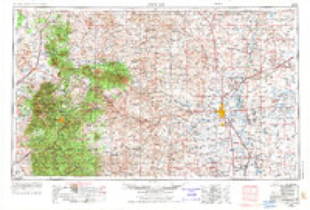
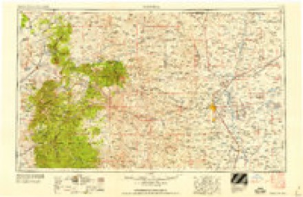
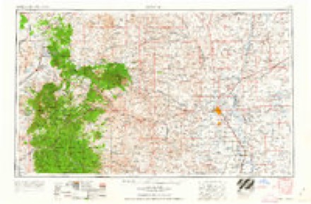
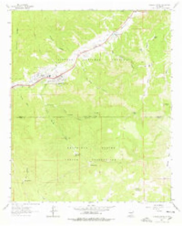
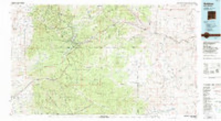
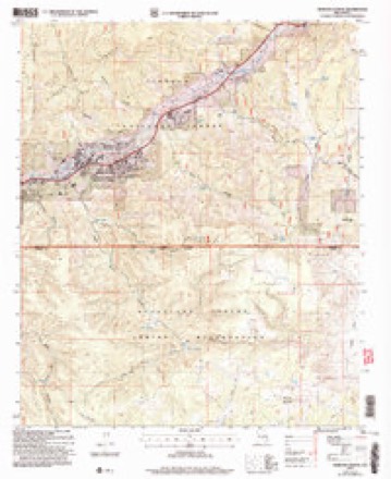
6 surveys from 9 printed sheetsMatched by testing this settlement's coordinate against the published boundary of every sheet in the United States Geological Survey's historical collection. Each opens the scanned sheet at the Survey.
- 1955 USGS Roswell quadrangle1:250000, 3 printings
- 1958 USGS Roswell quadrangle1:250000
- 1962 USGS Roswell quadrangle1:250000
- 1963 USGS Ruidoso Downs quadrangle1:24000, 2 printings
- 1984 USGS Ruidoso quadrangle1:100000
- 2004 USGS Ruidoso Downs quadrangle1:24000
Fires near this place
176 since 1992Regional context, not property-specific evidence. The federal wildfire occurrence database lists 176 fires within 5 miles of Ruidoso Downs between 1992 and 2020, burning about 17,352 acres in total. 42 started naturally. 8 were recorded as arson. Distance is straight-line from the map coordinates, so a fire counted here may appear on a neighbouring settlement's page as well.
| Reported cause | Fires |
|---|---|
| Missing data/not specified/undetermined | 58 |
| Natural | 42 |
| Recreation and ceremony | 26 |
| Debris and open burning | 15 |
| Arson/incendiarism | 8 |
| Power generation/transmission/distribution | 7 |
| Equipment and vehicle use | 6 |
| Misuse of fire by a minor | 5 |
| Smoking | 4 |
| Other causes | 3 |
| Fireworks | 2 |
The most recent of them, most recent first, with the day each was reported and the service that recorded it.
| Date | Cause | Size | Reported by | Name on the report |
|---|---|---|---|---|
| 5 September 2020 | Recreation and ceremony | under an acre | Lincoln National Forest | 120 CAMPFIRE |
| 5 August 1992 | Missing data/not specified/undetermined | under an acre | New Mexico State Forestry Division | MC CARTY |
| 5 August 1992 | Natural | under an acre | Lincoln National Forest | not named |
| 21 August 2012 | Recreation and ceremony | under an acre | Lincoln National Forest | 120A |
| 21 August 2011 | Natural | under an acre | Lincoln National Forest | SMOKEY |
| 21 August 1995 | Natural | under an acre | Lincoln National Forest | EAGLE |
| 20 August 2001 | Missing data/not specified/undetermined | under an acre | Mescalero Agency | FERNANDO |
| 2 August 2019 | Natural | under an acre | Lincoln National Forest | EAGLE |
Settlements close enough to share some of these fires:
Mines and quarries near this place
10 within 5 milesRegional context, not property-specific evidence. The federal mineral resources record lists 10 workings within 5 miles of Ruidoso Downs: 7 unknowns, 1 past producer, 1 occurrence, 1 producer. 1 still produces. What was taken out: Sand and Gravel, Construction, Stone, Stone, Crushed/Broken, Gypsum-Anhydrite. Distance is straight-line from the map coordinates, so a quarry counted here may appear on a neighbouring settlement's page as well.
| Where | Site | Commodity | Status | Recorded |
|---|---|---|---|---|
| Mescalero Gypsum Deposit | Gypsum-Anhydrite | Occurrence | Gypsum | |
| State Hwy Pit No 60-76-S | Stone | Unknown | ||
| Tom's Gravel Pit | Stone, Crushed/Broken | Past Producer | 1992 | |
| Beavers Pit & Crusher | Sand and Gravel, Construction | Producer | ||
| Graham Mine | Sand and Gravel, Construction | Unknown | ||
| Hollywood Pit | Sand and Gravel, Construction | Unknown | ||
| Jim Strong Pit | Sand and Gravel, Construction | Unknown | ||
| Materials Pit | Sand and Gravel, Construction | Unknown | ||
| Materials Pit | Sand and Gravel, Construction | Unknown | ||
| Materials Pit | Sand and Gravel, Construction | Unknown |
Storms near this place
16 since 1996Regional context, not property-specific evidence. The National Weather Service names Ruidoso Downs in 16 storm reports between 1996 and 2024: 7 hail, 7 flash flood, 1 tornado, 1 funnel cloud. No death or injury is recorded in these reports. Each account below is quoted exactly as the forecast office filed it, from the NOAA Storm Events Database, and each date opens the federal record of that event.
| When | Event | Place named | Harm | What the report says |
|---|---|---|---|---|
| September 2001 | Flash Flood | Ruidoso Downs | $100,000 | no account filed |
| August 2000 | Flash Flood | Ruidoso Downs | $20,000 | Peat gravel from new road construction clogged culverts and filled a small retention pond during heavy runoff from a storm that yield about 3 inches of rain in 2 hours. Water then overflowed from the streets into a residential area flowing across lawns and underneath trailer homes. Damage was limited to skirting that was ripped from several homes and an empty propane tank floating away. |
| August 2011 | Flash Flood | Ruidoso Downs | $10,000 | Heavy rain fell early in the afternoon across the White Fire burn scar. Fortunately only minor flooding ensued at the time. However, as another round of showers and thunderstorms moved over the burn scar in the evening, more significant flooding resulted. Culverts that were built along a road near Seeping Springs that crossed Allison Canyon were already at capacity from the earlier rains. The additional precipitation caused them to give way, which lead to rapid flows along Allison Canyon. These waters reach the River Ranch RV Park along Highway 70. The water was estimated to be three feet high, which topped the concrete barriers that were installed to protect the park. Fortunately, the park did not sustain any damage. |
| May 2010 | Tornado (EF0) | Ruidoso Downs | $1,500 | Winds estimated around 85 mph uprooted at least a dozen mature pinon pine trees at 6340 feet in the northern Sacramento Mountains. In addition, a 500-gallon diesel tank that was estimated to be half full was lofted vertically and carried at least 150 yards, and an empty 53 foot box trailed was tipped on its side. There was also minor damage to a horse/tack barn and a fire department truck. |
| June 2024 | Hail | Ruidoso Downs | - | A trained spotter observed half dollar size hail from a slow moving severe thunderstorm northeast of Ruidoso. |
| May 2018 | Funnel Cloud | Ruidoso Downs | - | An observer spotted a funnel cloud with a thunderstorm a few miles northeast of Ruidoso Downs. |
| August 2012 | Flash Flood | Ruidoso Downs | - | The Rio Ruidoso was reported to be out of its banks along U.S. Highway 70 at Fox Cave. |
| June 2012 | Hail | Ruidoso Downs | - | Quarter size hail reported at Ruidoso Downs. |
| August 2011 | Flash Flood | Ruidoso Downs | - | Emergency management reported the Rio Ruidoso out of its banks for a 6 to 10 mile stretch downstream of the White Fire burn scar. High water levels in the canyons and arroyos on the east and south side of the burn scar flowed into the Rio Ruidoso, causing it to flood. Debris from the burn area was piled up on the banks. Near mile marker 272.5 on Highway 70, portions of the Rio de Oso Trailer park was underwater. |
| July 2011 | Flash Flood | Ruidoso Downs | - | Heavy rains led to flooding in Allison Canyon along U.S. Highway 70 near mile marker 268. Fortunately, residents in the River Ranch RV park along the canyon were evacuated prior to the high water reaching the ranch. An estimated 4 to 6 feet of water flowed through the area. Fortunately, the RV park did not sustain much damage. |
| August 2011 | Flash Flood | Ruidoso Downs | - | Though the Rio Ruidoso was running high and fast downstream of Ruidoso Downs, the most significant flooding was within the town itself. Water approximately two feet deep flooded the intersection of Highlands and Joe Welch. An SUV attempted to cross the waters but was unsuccessful. Flooding and debris from the White Fire burn scar was also noted along Highway 70. |
| August 2013 | Hail | Ruidoso Downs | - | no account filed |
| July 2007 | Hail | Ruidoso Downs | - | no account filed |
| June 2007 | Hail | Ruidoso Downs | - | no account filed |
| September 1999 | Hail | Ruidoso Downs | - | no account filed |
| July 1996 | Hail | Ruidoso Downs | - | no account filed |
Nearest settlements
The eight closest, with where each one stands in the county. Distances are straight-line, computed from the Geographic Names Information System coordinates.
| Map | Place | Distance | Sheets |
|---|---|---|---|
| Hollywood | 1.7 miles | 10 | |
| Ruidoso | 3.6 miles | 10 | |
| Ponderosa Heights | 4.3 miles | 10 | |
| Alpine Cellars Village | 5.6 miles | 10 | |
| Alto | 6.3 miles | 11 | |
| Sun Valley | 7.1 miles | 11 | |
| Sierra Vista | 7.2 miles | 11 | |
| Angus | 8.7 miles | 11 |
Elsewhere
Matched on this settlement's Geographic Names Information System number rather than its name, so it cannot be a different place of the same name in another state.
| Wikipedia article on Ruidoso Downs | An encyclopaedic summary. Its text is share-alike, so it is linked here rather than copied. |
| Wikidata item Q2533606 | The structured record the population and elevation above come from. Public domain (CC0). |
Provenance
This settlement is recorded in the Geographic Names Information System as feature 923669. The sheet list is computed by point-in-boundary test against the United States Geological Survey's historical topographic inventory. Both are works of the United States government and carry no copyright under 17 U.S.C. 105.
Wildfire. Short, Karen C. 2022. Spatial wildfire occurrence data for the United States, 1992-2020 [FPA_FOD_20221014]. 6th Edition. Fort Collins, CO: Forest Service Research Data Archive. https://doi.org/10.2737/RDS-2013-0009.6 Collected with United States Government funding and usable without additional permissions or fees.
Mines and quarries. USGS Mineral Resources Data System (MRDS) https://mrdata.usgs.gov/mrds/ A work of the United States government, no copyright under 17 U.S.C. 105.
Storms. NOAA National Centers for Environmental Information, Storm Events Database https://www.ncei.noaa.gov/stormevents/ A work of the United States government, no copyright under 17 U.S.C. 105. Narratives are quoted verbatim from the National Weather Service report and are not edited or summarised.