 Block
From the record
11 National Register listings published here.
Sources: the National Register database, National Park Service
73 topographic sheets and 43 fire insurance atlases across 11 places.
11 National Register listings published here.
Sources: the National Register database, National Park Service
Taken for the Office of War Information and the Farm Security Administration, who photographed the country between 1935 and 1944. Works of United States government photographers, with no known restriction on use. Each opens its catalogue record.
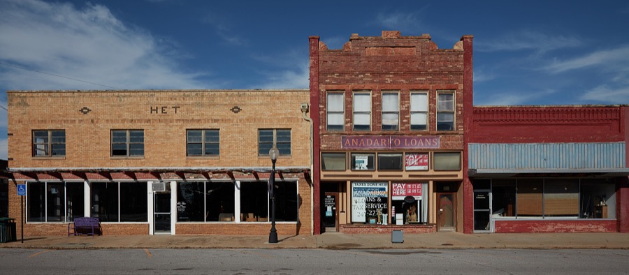
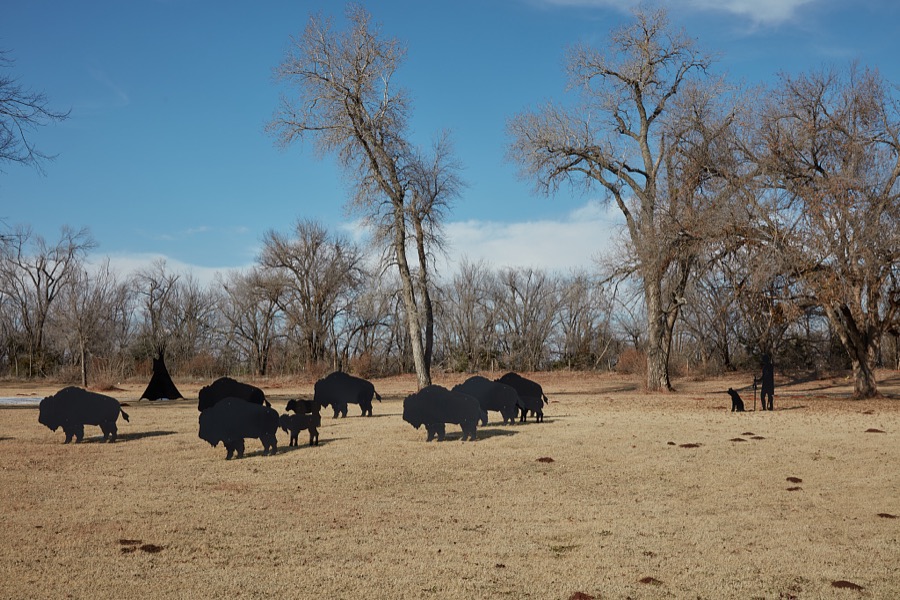
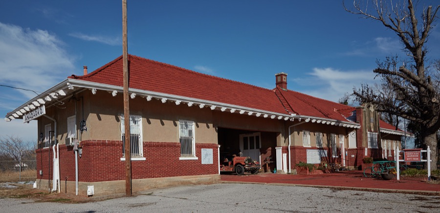
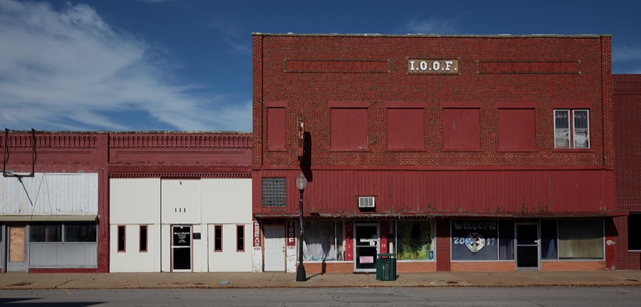
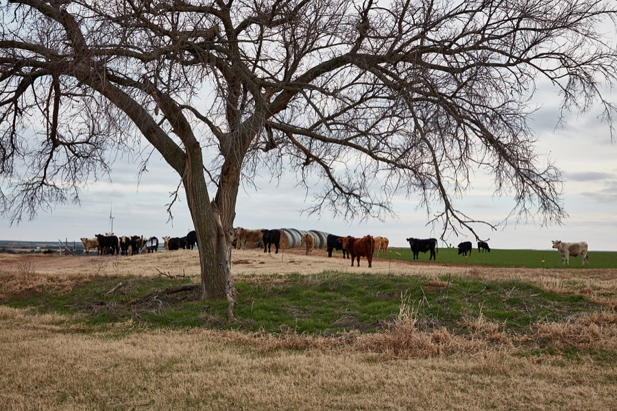
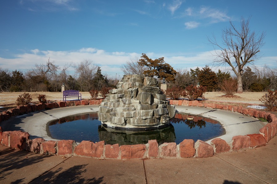
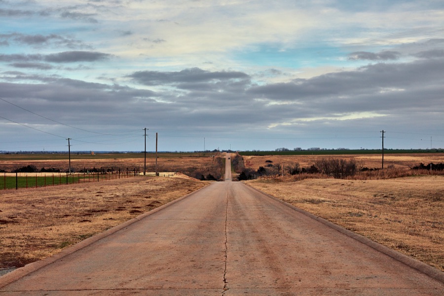
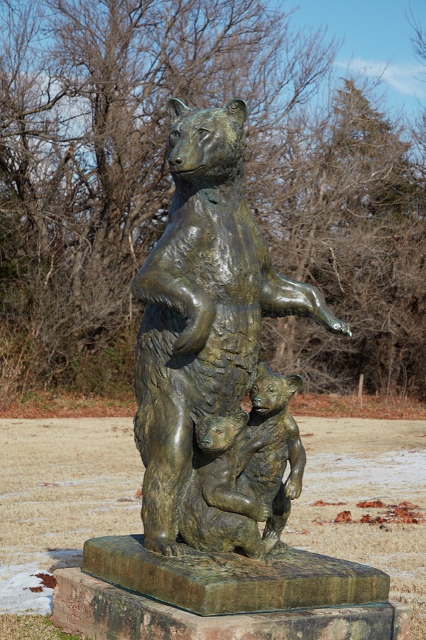

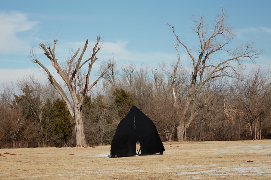
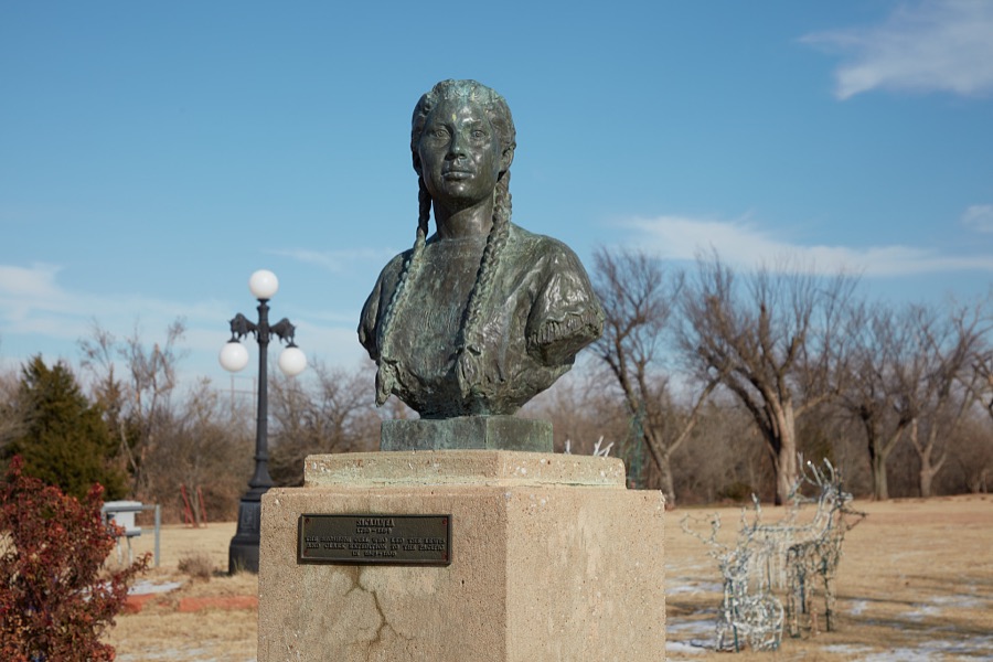
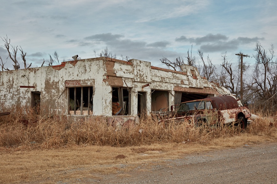
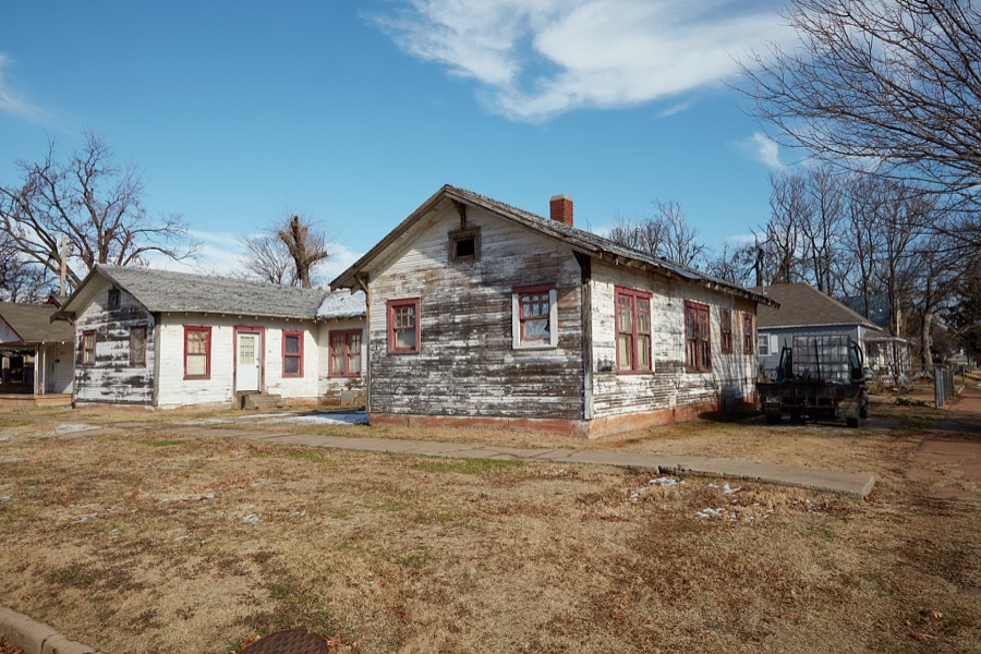

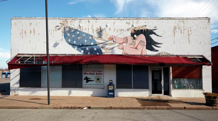
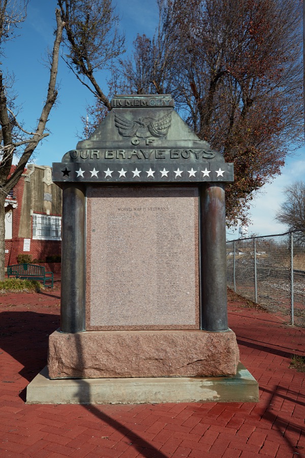
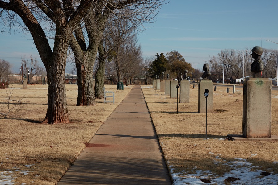
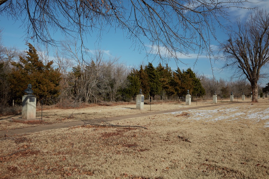
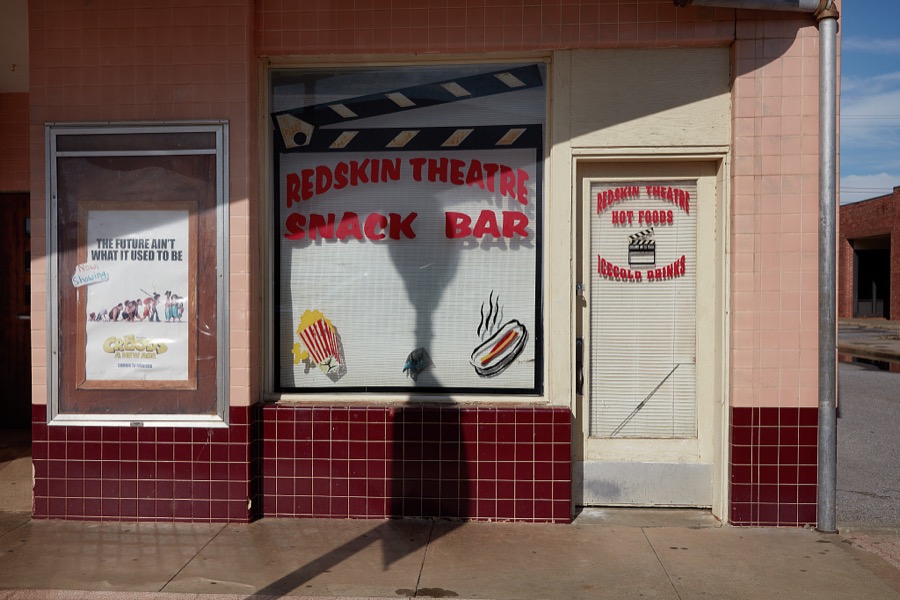
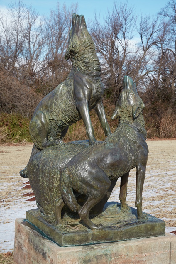
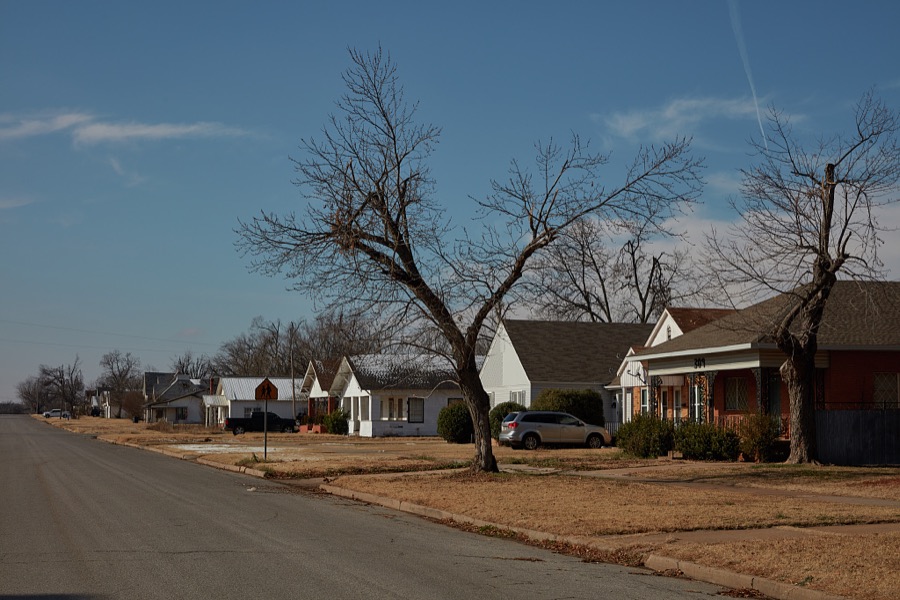
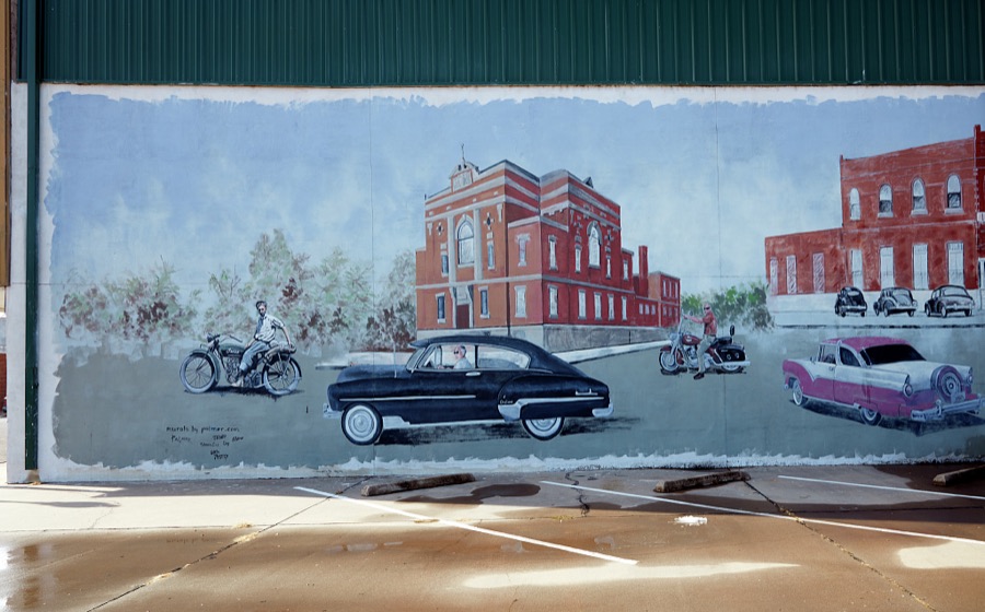
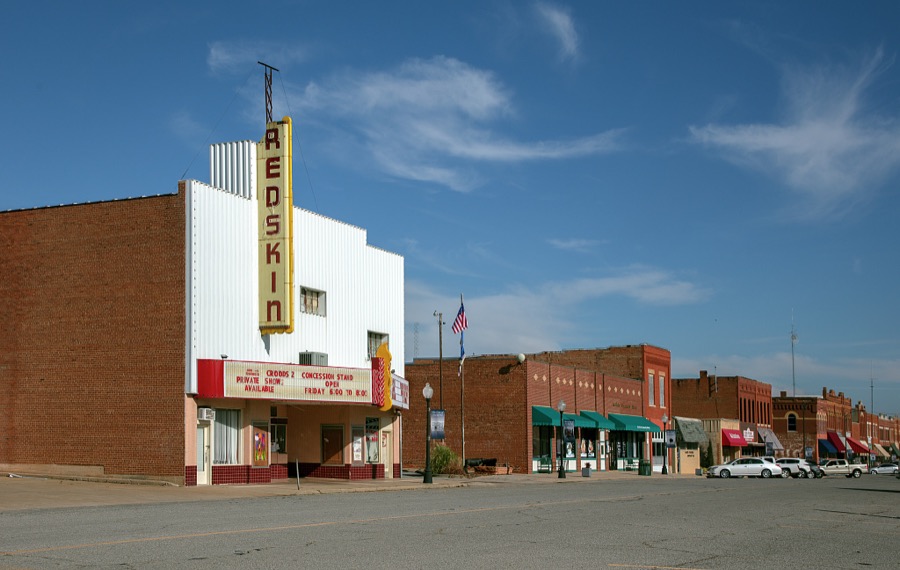
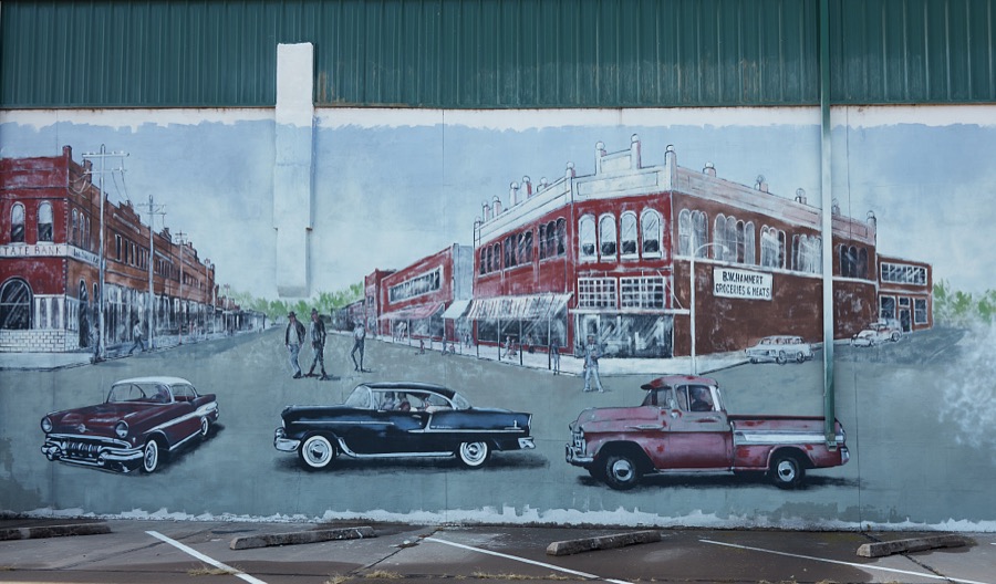
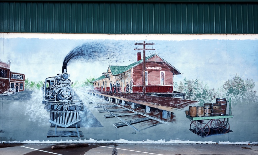
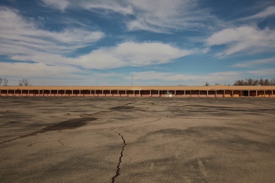
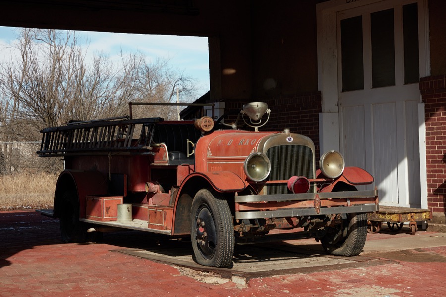
Every property in this county listed on the National Register of Historic Places, with the year it was listed and the federal nomination document.
| Photograph | Property | Type | Listed | Reference |
|---|---|---|---|---|
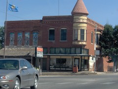 | Amphlett Brothers Drug and Jewelry Store | building | 1982 | 82003669 |
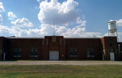 | Anadarko Armory | building | 1994 | 94000479 |
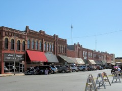 | Anadarko Downtown Historic District | district | 1990 | 82005385 |
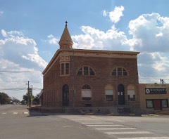 | Apache State Bank | building | 1972 | 72001060 |
| Bridgeport Bridge | structure | 2020 | 100005858 | |
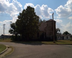 | First Baptist Church (Colored) | building | 2007 | 07001263 |
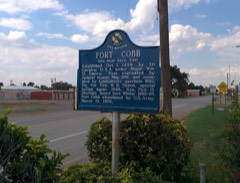 | Fort Cobb Site | site | 1973 | 73001556 |
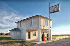 | Provine Service Station | building | 1997 | 97000803 |
| Randlett Park | site | 2003 | 03000878 | |
| Rock Island Passenger Station | building | 2018 | 100002874 | |
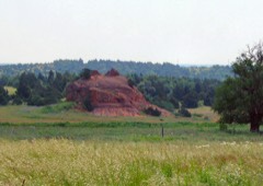 | Rock Mary | site | 1970 | 70000528 |
Sampled issues, machine-read from the Library of Congress scan and published page by page, so every headline and column is searchable text.
Anadarko, Okla., 1901 to 190?. Machine-read from the Library of Congress scan.
Anadarko, Okla., 190? to 1908. Machine-read from the Library of Congress scan.
Anadarko, Okla., 1908 to 191?. Machine-read from the Library of Congress scan.
Anadarko, Okla., 191?. Machine-read from the Library of Congress scan.
Anadarko, Okla., 191? to 1915. Machine-read from the Library of Congress scan.
Selected from the Digital Public Library of America's 1 image records catalogued for this county. Every one shown here carries a public-domain status or a licence that permits reuse on a site that carries advertising; non-commercial, share-alike and restricted images are excluded. The selection is spread across the county's towns (at most eight per town), so no single institution's bulk upload crowds out the rest. Each opens the holding library's record, and the complete set at the Digital Public Library of America is one click away.

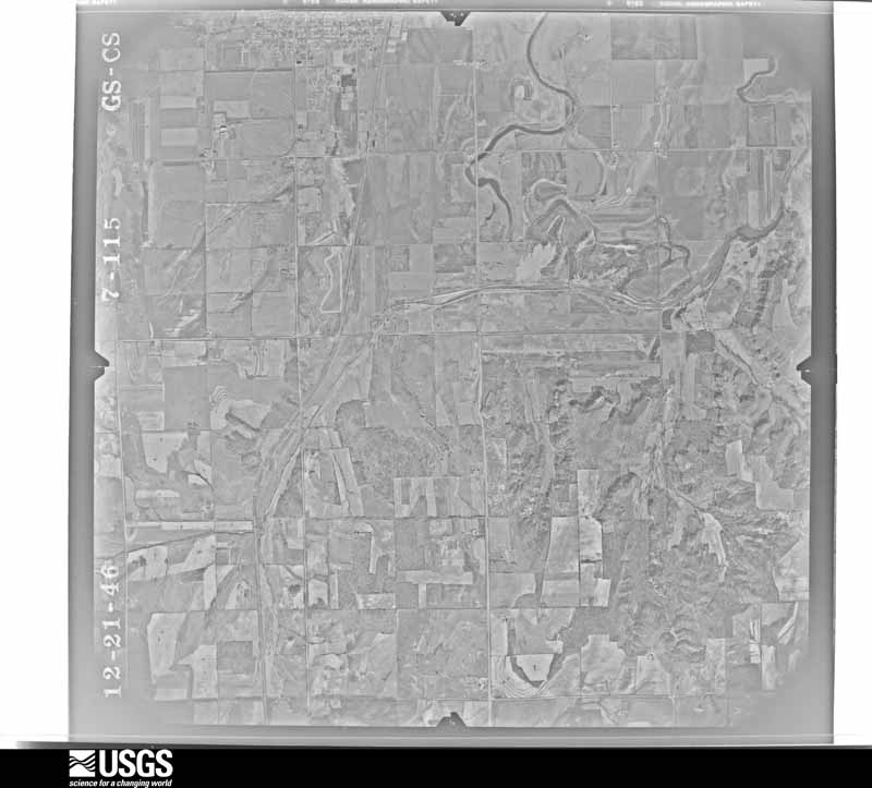
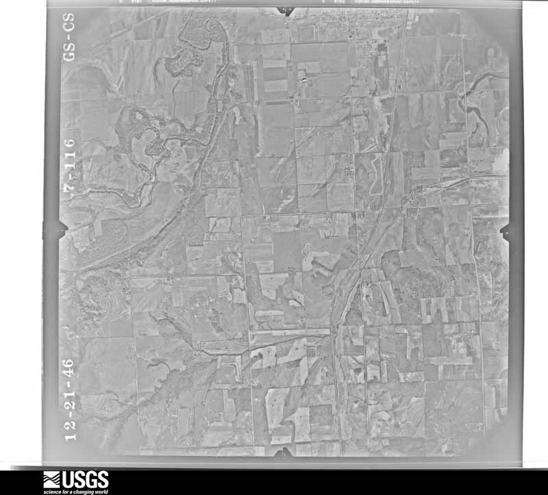
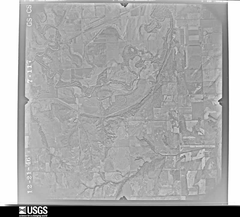
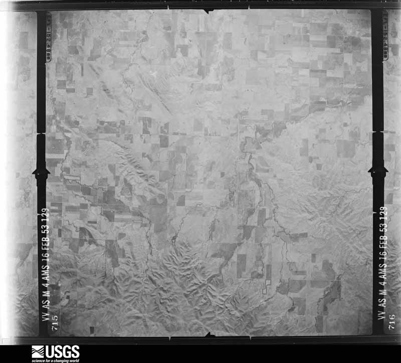
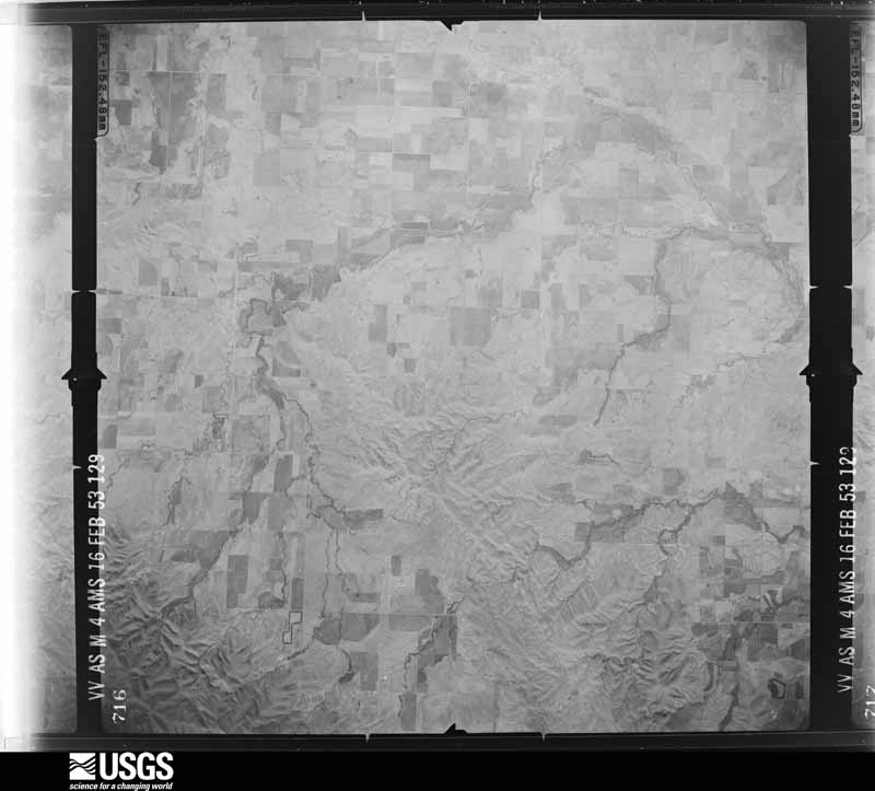
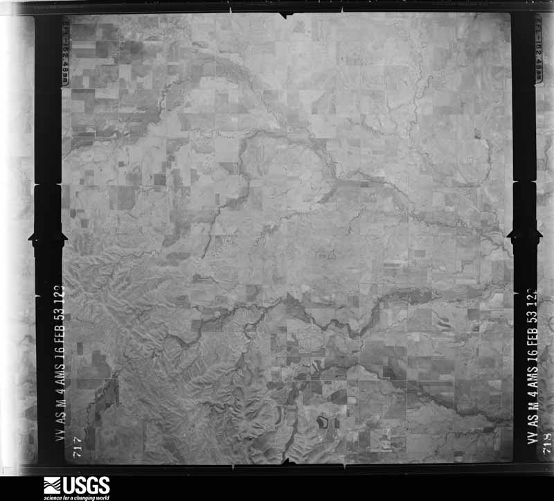
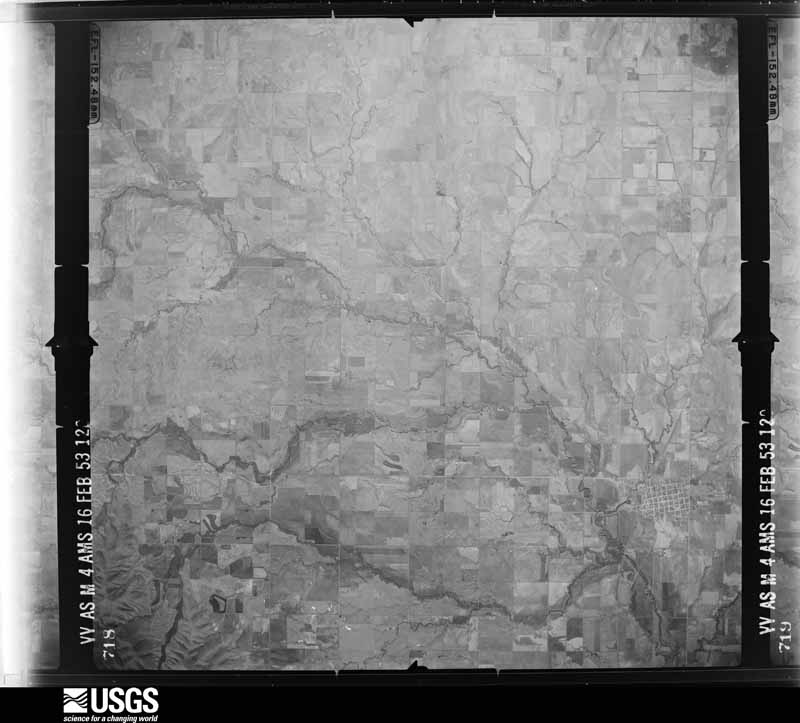
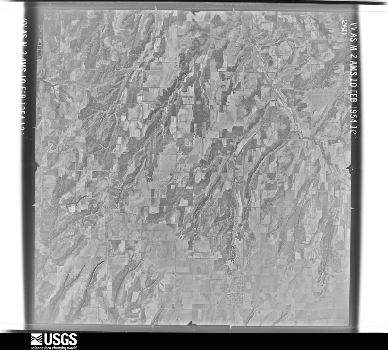
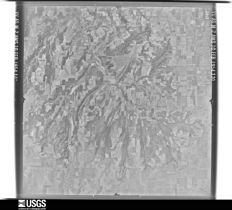
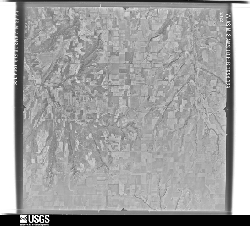
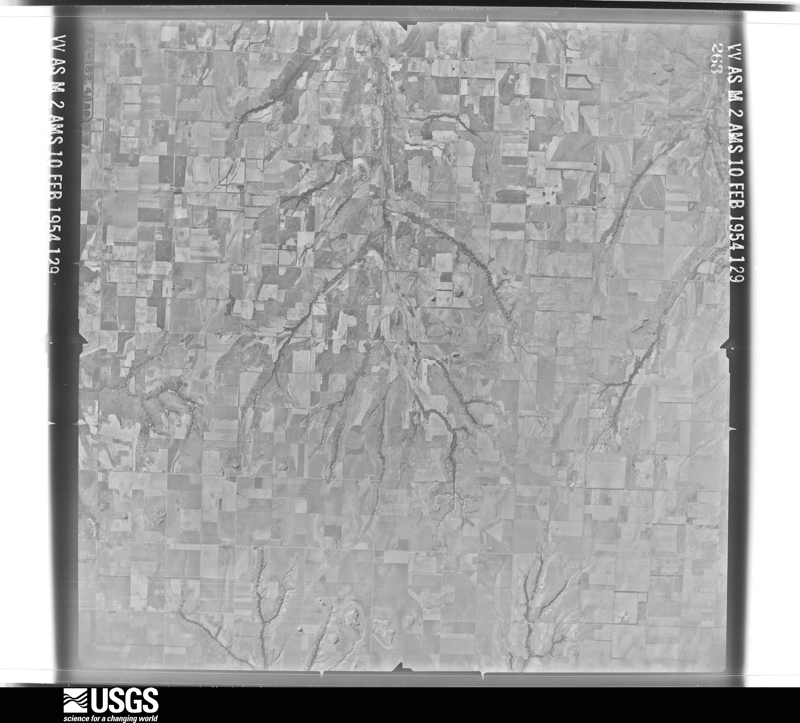
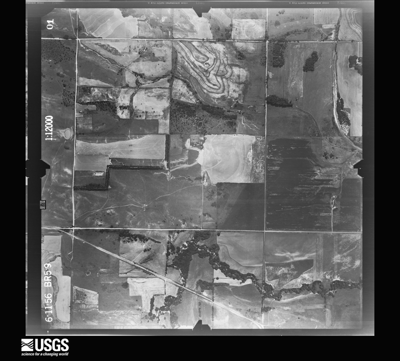
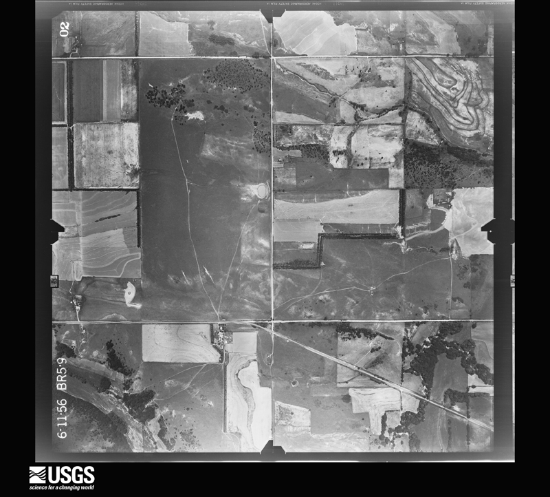
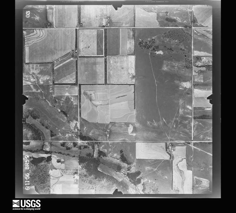
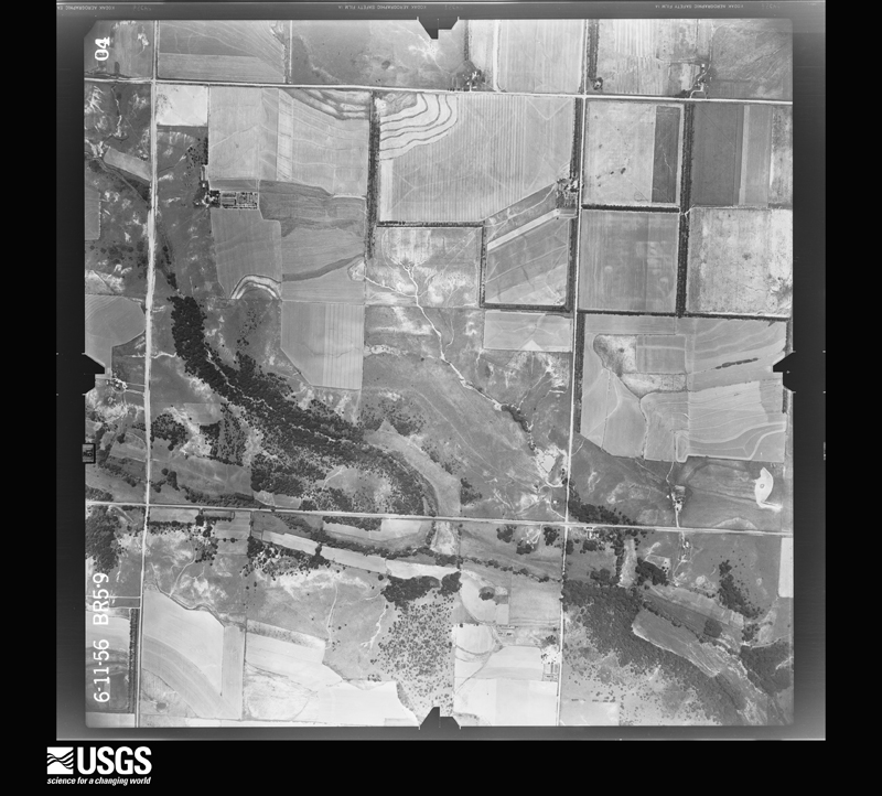
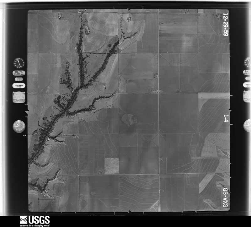
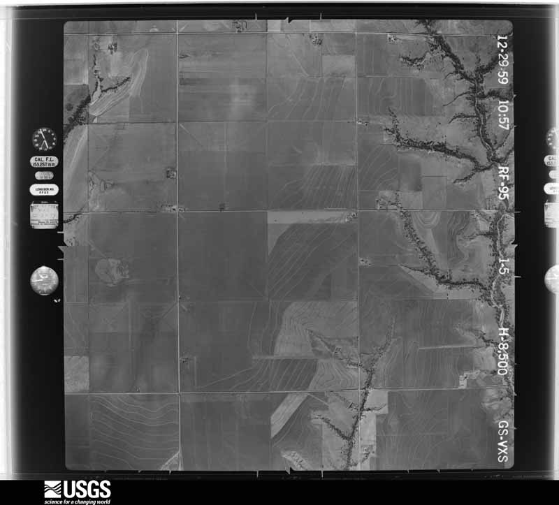
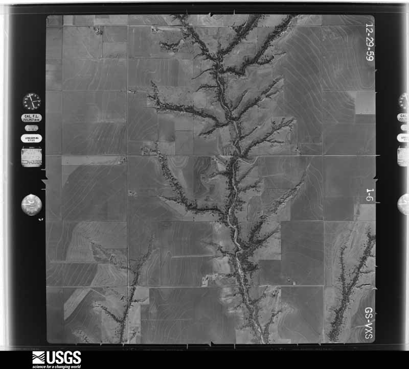
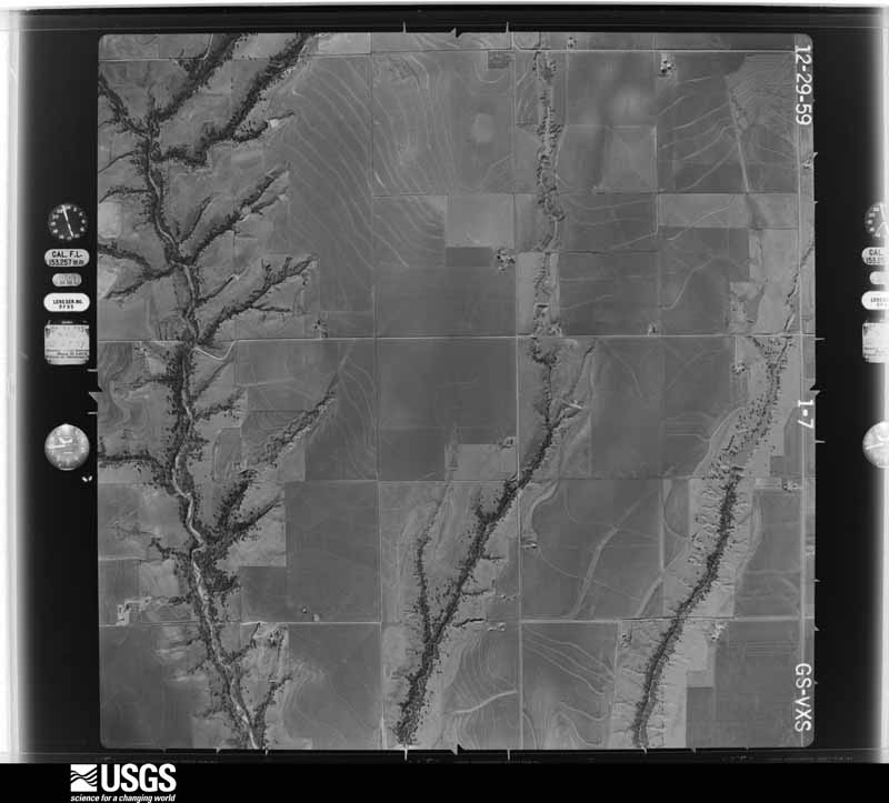
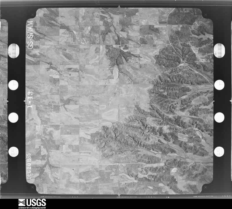
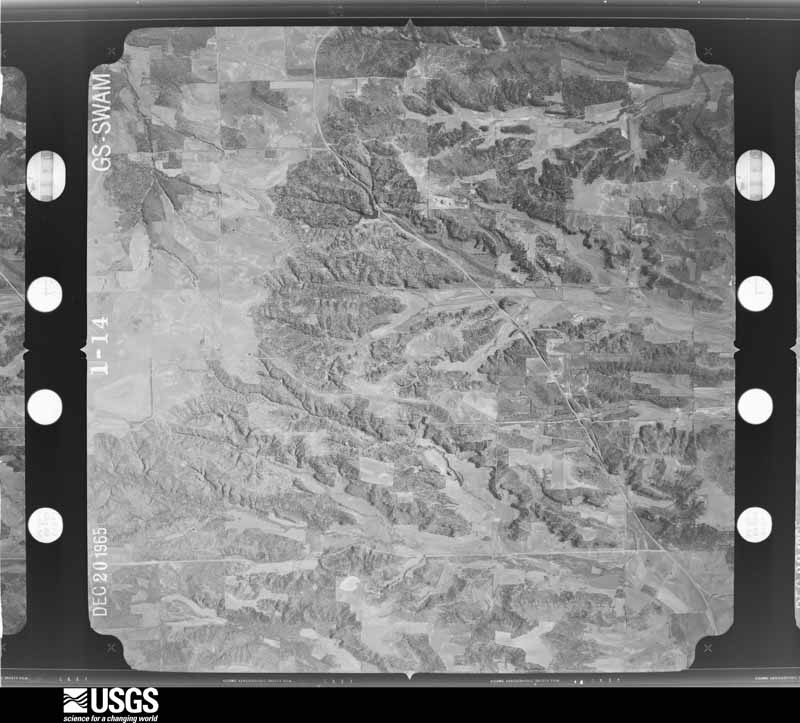
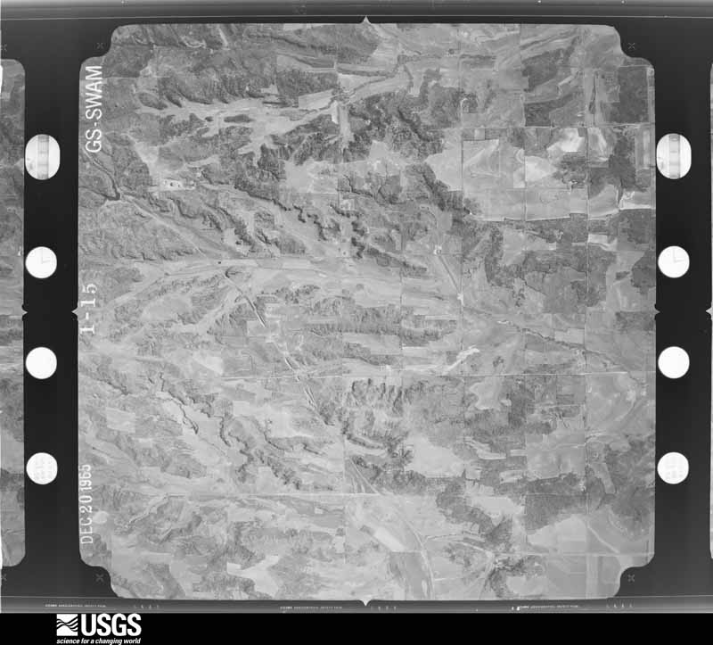
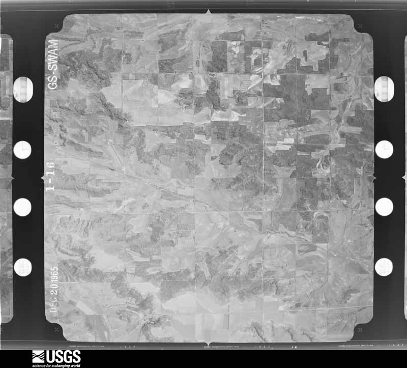
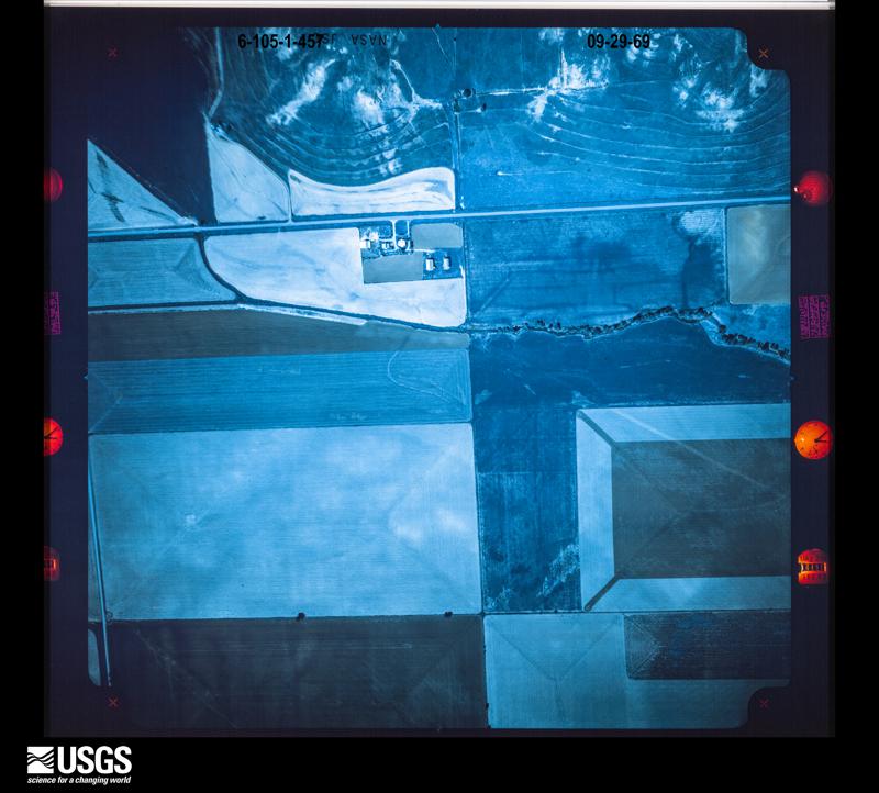
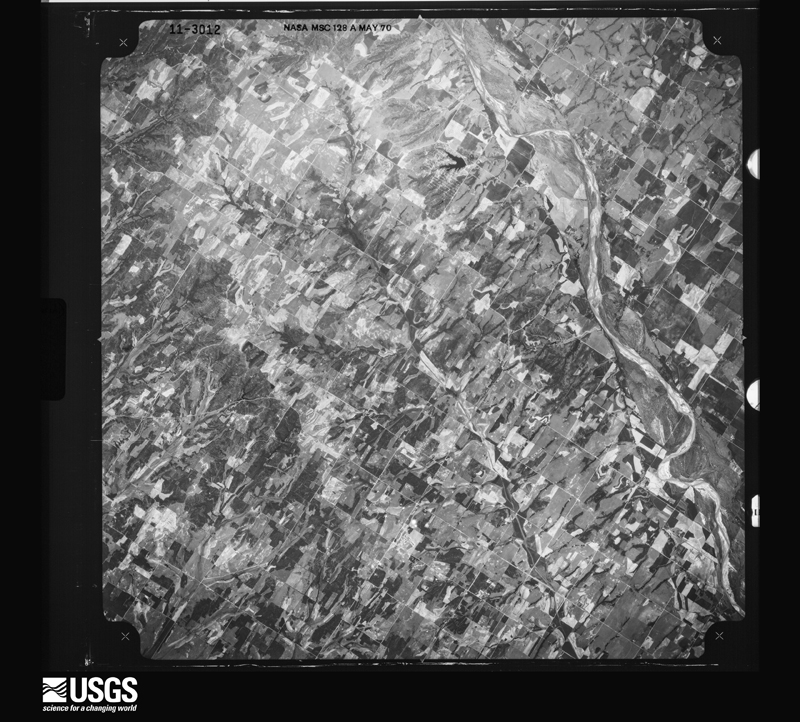
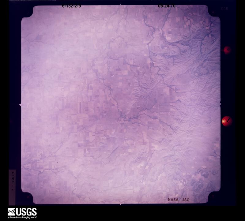
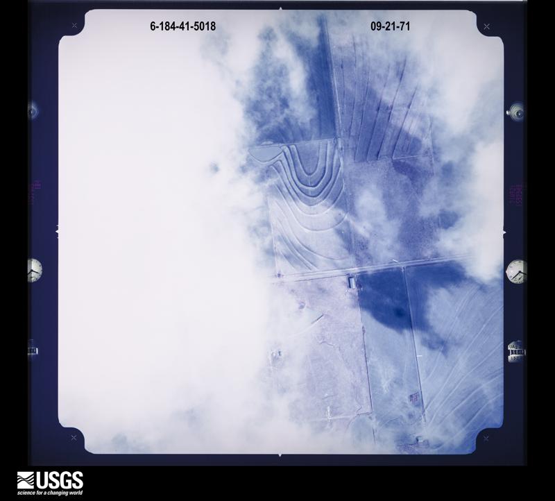
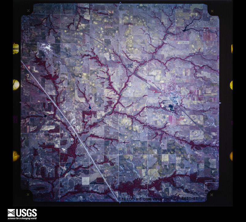
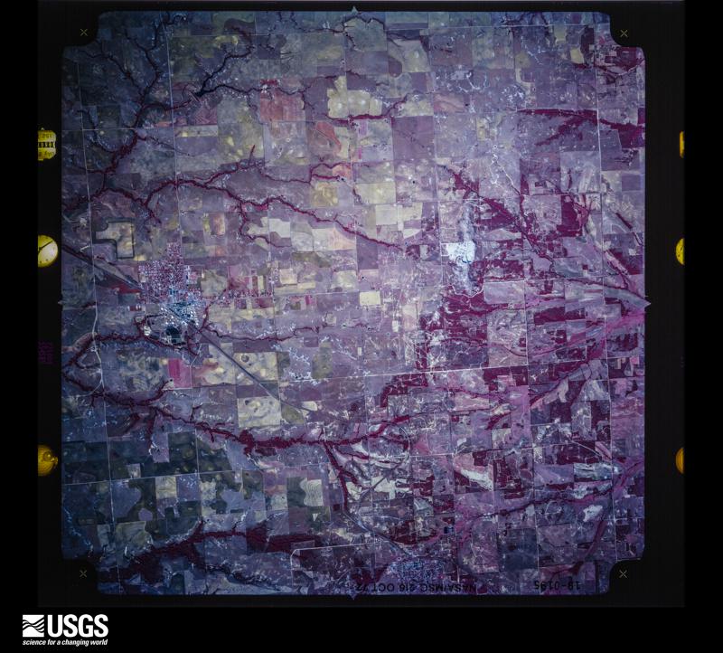
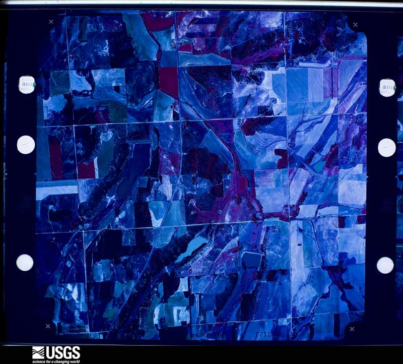
Flown by the U.S. Geological Survey between 1937 and 1989, the Aerial Photo Single Frames collection is the definitive mid-century view of the land: fields, roads and rivers as the camera saw them. The Survey holds 2,353 frames inside the rectangle that bounds this county; the 48 frames below were taken over the county itself, chosen across the decades of flights (at most four a year from that rectangle), so one flight cannot crowd out the rest. The full set is free to browse and download at EarthExplorer under the dataset Aerial Photo Single Frames.


















The thermometers that kept this county's weather, and the gages that measured the flow of its streams, as the federal records hold them. The extremes below are measured values from those records, not estimates.
Who lived here in 1950, one enumeration district at a time, as the Census Bureau described each district. Each row opens its official National Archives result, with Population Schedules and ED Maps available there.
Every wildfire the federal occurrence database records inside this county: 1,138 of them, burning about 46,368 acres. 40 started naturally and 173 were recorded as arson. Each settlement page carries the fires within five miles of it.
| Reported cause | Fires |
|---|---|
| Debris and open burning | 328 |
| Missing data/not specified/undetermined | 204 |
| Equipment and vehicle use | 186 |
| Arson/incendiarism | 173 |
| Power generation/transmission/distribution | 80 |
| Fireworks | 72 |
| Natural | 40 |
| Other causes | 19 |
| Misuse of fire by a minor | 12 |
| Recreation and ceremony | 11 |
| Smoking | 9 |
| Railroad operations and maintenance | 3 |
| Firearms and explosives use | 1 |
The five largest, by the area the report gives. Three of them were set deliberately.
| Date | Cause | Size | Reported by | Name on the report |
|---|---|---|---|---|
| 15 April 2011 | Arson/incendiarism | 3,000 acres | Anadarko Agency | CEMENT |
| 3 August 2012 | Arson/incendiarism | 3,000 acres | Anadarko Agency | BOTONE 3 |
| 20 August 2000 | Missing data/not specified/undetermined | 1,920 acres | Anadarko Agency | KEECHI |
| 18 January 2006 | Equipment and vehicle use | 1,288 acres | Anadarko Agency | STECKER |
| 4 January 2008 | Power generation/transmission/distribution | 1,200 acres | Anadarko Agency | MCINTYRRE |
| 30 September 2000 | Smoking | 681 acres | Anadarko Agency | CYRIL |
| 6 April 2006 | Power generation/transmission/distribution | 640 acres | Anadarko Agency | CEMENT |
| 24 September 2012 | Arson/incendiarism | 615 acres | Anadarko Agency | HOG CREEK # 2 |
Every settlement page carries the fires within five miles of it - see the settlement index below.
The NOAA Storm Events Database holds 1,302 reports for this county, causing 4 deaths, 36 injuries and about $73,355,450 in recorded property damage. Each settlement page carries the reports that name it.
| Kind of event | Reports |
|---|---|
| Hail | 711 |
| Thunderstorm Wind | 400 |
| Tornado | 130 |
| Flash Flood | 46 |
| Flood | 6 |
| Lightning | 4 |
| Heavy Rain | 3 |
| Wildfire | 1 |
| Funnel Cloud | 1 |
The most serious of them, by death, then injury, then recorded damage. The accounts are quoted exactly as the forecast office filed them.
| When | Event | Place named | Harm | What the report says |
|---|---|---|---|---|
| August 2007 | Flash Flood | Carnegie | 3 killed, $10,000 | A van carrying three women was washed off of HWY 58 south of Carnegie as torrential rain fell for several hours. Unfortunately, all three women perished as their vehicle was washed downstream. Another car was washed off the roadway six miles south of Carnegie. No injuries were reported with this accident. Monetary damages were estimated. |
| August 2007 | Flash Flood | Anadarko | 1 killed, $100,000 | High winds and torrential rainfall pounded much of Caddo overnight, with widespread flash flooding reported. While seeking shelter from the severe weather, an elderly lady drowned while in her storm shelter. A car carrying a mother and her two children was swept off the roadway, but all three were rescued without injury. In Fort Cobb, a truck was swept off of HWY 146. The driver was able to escape without injury. One hundred homes sustained at least minor damage. Several of these sustained significant damage. In addition to the numerous streets that were closed in Caddo county, 150 bridges also had to be closed. Monetary damages were estimated. |
| May 1982 | Tornado (F2) | not stated | 13 hurt, $250,000 | no account filed |
| April 1976 | Tornado (F4) | not stated | 6 hurt, $2,500,000 | no account filed |
| February 1951 | Tornado (F2) | not stated | 5 hurt, $25,000 | no account filed |
| May 1999 | Tornado (F3) | Apache | 3 hurt, $50,000 | Tornado A3. See summary at end of May 3rd storm reports. |
| November 1998 | Lightning | Gracemont | 2 hurt, $2,000 | no account filed |
| April 2013 | Thunderstorm Wind | Anadarko | 1 hurt, $250,000 | A storm survey team verified that rear flank downdraft winds of 70 to 80 mph occurred. These winds caused significant structural damage in Anadarko. Two homes and a church had substantial roof damage with partial roof removal. Multiple power poles, power lines, and trees were downed. Other sporadic damage was noted in central and eastern Anadarko. Damages estimated. |
| April 1957 | Tornado (F3) | not stated | 1 hurt, $250,000 | no account filed |
| May 1997 | Thunderstorm Wind | Binger | 1 hurt, $60,000 | Severe thunderstorm winds estimated at up to 90 mph caused widespread damage and one injury in Binger. One man was injured when his mobile home was overturned, pinning him between a tree and some of the debris from the home. His family, including a wife and 4 children, was also inside the house but escaped uninjured.Elsewhere in the area a tree was blown over onto a pickup truck and several storefront windows were blown out in town. The roof was blown off of the grandstand at the local fairgrounds and steel posts were pulled from concrete at a ranch. A farm implement business sustained major damage to both its building and to some of the equipment. The roof was completely removed from the building and several combines were blown into eachother. A combine and hopper were blown across a highway, about 40 yards from their original location. |
| April 2017 | Thunderstorm Wind | Eakly | 1 hurt, $30,000 | Double-wide mobile home was destroyed. One injury. |
| May 1964 | Tornado (F2) | not stated | 1 hurt, $25,000 | no account filed |
| May 1960 | Tornado (F2) | not stated | 1 hurt, $25,000 | no account filed |
| April 1958 | Tornado (F1) | not stated | 1 hurt, $25,000 | no account filed |
| May 2009 | Tornado (EF2) | Gracemont | $50,000,000 | The tornado developed southeast of Gracemont and moved south along and just east of Highway 8/281 toward the east side of Anadarko. Hundreds of trees, power lines/poles, and fences were destroyed along its path, with numerous homes, barns, and outbuildings receiving significant roof and siding damage. More significant damage occurred on the northeast and east sides of Anadarko, with homes sustaining major damage along Country Club Road. The tornadic winds also damaged the roof and walls of a strip mall. The tornado finally lifted 1.5 to 2 miles southeast of Anadarko. In all, monetary damages were estimated at $50 million, which covered both the tornado damage and damage associated with the rear flank downdraft. |
| October 2000 | Flash Flood | South Portion | $6,000,000 | Major flash flooding developed across southern Caddo County after many hours of heavy rain and is believed to have first developed in Apache around 2100 CST when Box Elder Creek and Cache Creek, which merge in Apache, overflowed their banks. The worst flooding was observed during the overnight hours with the water then receding gradually over the next few days. Most affected were the housing subdivisions of Woodland Park and Joseyville on the south side of Apache, where approximately 12 families needed to be rescued from trees and roofs, which were surrounded by 7 feet of water in spots. Nearly 200 people were left homeless. Twenty-seven homes were destroyed (19 mobile homes), and 60 homes and 1 business were damaged. At times water flowed very quickly, pushing and dragging large debris including mobile homes, vehicles, and boats considerable distances. Massive damage was also sustained to Apache Elementary and Middle Schools.Much of downtown Anadarko also flooded with a foot or more of water observed in spots. An estimated 20 homes were destroyed by the flooding, while 60 homes sustained major damage, and 12 apartments and 8 businesses sustained minor damage. Approximately 200 people had to be evacuated from the rising water, most which lived in the northwest part of town. Major damage also occurred to the Boone School and numerous roads and bridges in Boone, about 6 miles west of Apache. At 2210 CST a car was swept off the road in Stecker due to fast moving water. It took several days for the water to recede in some areas, and many roads remained closed for this period. |
| May 1982 | Tornado (F1) | not stated | $2,500,000 | no account filed |
| May 1981 | Tornado (F4) | not stated | $2,500,000 | no account filed |
| April 1965 | Tornado (F2) | not stated | $2,500,000 | no account filed |
| May 2015 | Flash Flood | Cyril | $300,000 | Numerous homes flooded in and around Cyril. |
| May 2015 | Flood | Anadarko | $300,000 | Several roads and houses flooded due to rising river waters. |
| September 2001 | Lightning | Apache | $300,000 | Lightning struck a storage facility complex at Sexton Office Supplies, causing a fire that consumed four buildings. |
| May 1990 | Tornado (F3) | not stated | $250,000 | no account filed |
| May 1983 | Tornado (F2) | not stated | $250,000 | no account filed |
| May 1982 | Tornado (F1) | not stated | $250,000 | no account filed |
| April 1981 | Tornado (F1) | not stated | $250,000 | no account filed |
| May 1977 | Tornado (F2) | not stated | $250,000 | no account filed |
| May 1977 | Tornado (F2) | not stated | $250,000 | no account filed |
| June 1973 | Tornado (F3) | not stated | $250,000 | no account filed |
| June 1973 | Tornado (F2) | not stated | $250,000 | no account filed |
| April 1957 | Tornado (F2) | not stated | $250,000 | no account filed |
| April 1955 | Tornado (F2) | not stated | $250,000 | no account filed |
| May 2001 | Thunderstorm Wind | Carnegie | $200,000 | The high school and junior high school roofs were partially blown off. Additional roof damage was observed on homes. Trees four-feet in diameter were also blown down. |
| August 2000 | Wildfire | Binger | $200,000 | A grass fire which started on the 20th spread rapidly out of control and took a week to extinguish. Nearly 5 square miles of open pasture land and 3 homes and a portion of a girl scout lodge burned. |
| October 2001 | Tornado (F1) | Alfalfa | $150,000 | D3. A single-floor home was unroofed with the debris completely displaced from its foundation. An outer wall of the home was also blown out. Also along the tornado path, sections of irrigation equipment were either toppled or destroyed, and several trees were snapped at the trunk. |
| June 2008 | Thunderstorm Wind | Hydro | $125,000 | A barn was demolished and the roof of a mobile home was destroyed. Also, the awning at the North Side Drug store was ripped off. Monetary damages were estimated. |
| October 2001 | Tornado (F1) | Binger | $125,000 | E3. The Green Acres Fire Station, 7 miles south of Binger, had its sheet-metal roof blown off, with the remaining building partially destroyed. Two brick homes suffered minor damage. A mobile home was completely destroyed, another with minor damage. Several pieces of farm equipment and hundreds of trees were also blown over. Straight-line winds are also believed to have caused most of the widespread tree damage. |
| May 2022 | Tornado (EF0) | Cyril | $100,000 | An NWS storm survey team found evidence of a brief tornado that caused EF-1 damage to homes, trees and outbuildings near State Highway 8 and County Road 1450. |
| August 2007 | Lightning | Apache | $80,000 | A home was struck by lightning and burned to the ground. Monetary damages were estimated. |
| February 2023 | Thunderstorm Wind | Ft Cobb Res Dam | $75,000 | Homes and barns were damaged about 1.5 to 2 miles north of Fort Cobb Lake Dam. |
| October 2001 | Tornado (F1) | Spring Creek | $75,000 | E5. This multiple-vortex tornado developed about 1/2 mile west of where E4 dissipated, and resulted in minor damage to a mobile home and a nearby storage building. Major damage, rated F1, was also sustained to a large area of trees. Straight-line winds are believed to have unroofed a home and destroyed a barn, about 1/2 mile west of US 281. |
| May 1999 | Tornado (F2) | Cement | $75,000 | Tornado A6 (Caddo County portion). See summary at end of May 3rd storm reports. |
| March 2000 | Thunderstorm Wind | Anadarko | $65,000 | Minor roof damage was reported. In addition signs were blown down; store-front windows were broken; trees were downed; a 60-foot antenna was blown off the roof of a fire department, and the roof of Bill's Dollar Store was blown completely off. |
| October 2021 | Tornado (EF2) | Anadarko | $60,000 | Storm chasers initially observed a tornado develop southwest of Anadarko and move east-northeast. Damage was reported to a hangar at the Anadarko airport just south of town. The most significant damage was about 5 miles east of Anadarko where a roof was removed from a home. Although the tornado itself passed just south of Anadarko, the storm produced widespread wind damage within the town of Anadarko (see separate entry). |
| October 2021 | Thunderstorm Wind | Anadarko | $50,000 | While a tornado was occurring just south of Anadarko, thunderstorm winds were also causing damage in Anadarko. The most concentrated area of damage was in the vicinity of Oklahoma Avenue, Broadway Avenue and Main Street near the railroad tracks, or just northeast of the intersection of US-281 and SH-8. A few buildings were damaged including the loss of the brick facade of one building. Trees, power poles and fences were also damaged in the area. |
| May 2004 | Tornado (F1) | Eakly | $50,000 | A media helicopter observed this brief tornado which heavily damaged a mobile home east of Eakly on Highway 152. |
| August 1997 | Thunderstorm Wind | Carnegie | $50,000 | Severe thunderstorm winds removed part of the roof from a junior high school, tossed an irrigation system across a field, snapped utility poles, and severely damaged a business. |
| June 1995 | Thunderstorm Wind | Eakly | $50,000 | no account filed |
| May 1993 | Thunderstorm Wind | Eakley | $50,000 | no account filed |
| October 2021 | Tornado (EF1) | Boone | $40,000 | Numerous storm chasers observed a tornado that developed about 9 miles west of Boone near the Kiowa-Caddo County line. The tornado moved northeast crossing State Highways 58 and 19 causing significant roof damage to a home and breaking power poles. Although this tornado became wrapped in rain and was generally not visible after crossing the highway, additional tree damage was reported east of the highway, and it is believed to have continued northeast approximately three miles. |
| May 2004 | Tornado (F1) | Alfalfa | $40,000 | This brief tornado, which was observed by a media helicopter, caused damage to the roof of the Alfalfa Fire Department and a nearby barn on Highway 58. |
| May 2003 | Tornado (F1) | Binger | $40,000 | This brief F1 tornado began a quarter of a mile north of Highway 152 on NS267 Road then moved east for a mile dissipating a half a mile south of Highway 152 on NS268 Road. The tornado launched a pickup camper 150 yards, snapped large tree limbs, and blew a cotton silo 50 yards. The tornado crossed Highway 152 and damaged a mobile home. The roof was peeled away to the north and exterior walls were removed with insulation blown around. It was still sitting on cinder blocks and it could not be determined by the survey team whether it was tied down. The mobile home appeared to be abandoned. Large tree limbs were downed towards the end of the path. |
| March 2008 | Thunderstorm Wind | Binger | $35,000 | One large wooden pole barn with metal siding on roof was destroyed. Light poles at the Johnny Bench Baseball Field were knocked down. Several houses were slightly damaged due to flying debris. Monetary damages were estimated. |
| February 2023 | Tornado (EF0) | Gracemont | $30,000 | Damage began north of County Road 1280 before moving northeast and passing just west of Gracemont The tornado produced damage at the Gracemont cemetery damaging trees and moving granite headstones. The tornado then turned east-northeast crossing US-281 and dissipating north of County Road 1250. |
| May 2022 | Tornado (EF0) | Hydro | $30,000 | A landspout tornado was observed developing south of Interstate 40 southwest of Hydro. The tornado moved northeast damaging a billboard and destroying a highway sign. The tornado struck a historic Route 66 service station as it crossed interstate 40 causing roof damage. An adjacent office at the site of a historic Route 66 motel also suffered significant roof damage. Tree damage was also noted in the southeast part of the town of Hydro before the landspout tornado dissipated. |
| June 2014 | Flash Flood | Hydro | $30,000 | At least one water rescue occurred when a car was swept off the road into a ditch of of Highway 58. |
| May 2024 | Tornado (EF0) | Hydro | $25,000 | Numerous people observed a tornado develop at Hydro and move south-southeast crossing Interstate 40 near the State Highway 58 interchange. One semi on the interstate was blown over and an Oklahoma Department of Transportation facility was damaged. This tornado developed on the southern fringe of the storm well south of the primary updraft, and was likely an anticyclonic tornado. |
| May 1990 | Tornado (F2) | not stated | $25,000 | no account filed |
| May 1986 | Tornado (F1) | not stated | $25,000 | no account filed |
| May 1983 | Tornado (F2) | not stated | $25,000 | no account filed |
The Survey's mineral resources record lists 66 workings inside this county. 5 still produce and 61 are closed or unrecorded. Each settlement page carries the workings within five miles of it.
| Commodity | Workings |
|---|---|
| Sand and Gravel, Construction | 44 |
| Dolomite | 8 |
| Clay | 7 |
| Stone, Crushed/Broken | 5 |
| Gypsum-Anhydrite | 2 |
The least common of them first, because a county's hundredth gravel pit says nothing its first ten did not.
| Where | Site | Commodity | Status | Recorded |
|---|---|---|---|---|
| Harrison Quarry & Plant | Gypsum-Anhydrite | Producer | ||
| Unknown Gypsum Pit | Gypsum-Anhydrite | Past Producer | ||
| Cyril Quarry & Plant | Stone, Crushed/Broken | Producer | ||
| Dolese Limestone Pit | Stone, Crushed/Broken | Producer | ||
| Unknown Limestone Pit | Stone, Crushed/Broken | Past Producer | ||
| Unknown Limestone Pit | Stone, Crushed/Broken | Past Producer | ||
| Unknown Limestone Pit | Stone, Crushed/Broken | Past Producer | ||
| Unknown Shale Pit | Clay | Past Producer | ||
| Unknown Shale Pit | Clay | Past Producer | ||
| Unknown Shale Pit | Clay | Past Producer | ||
| Unknown Shale Pit | Clay | Past Producer | ||
| Unknown Shale Pit | Clay | Past Producer | ||
| Unknown Shale Pit | Clay | Past Producer | ||
| Unknown Shale Pit | Clay | Past Producer | ||
| Unknown Dolomite Pit | Dolomite | Past Producer | ||
| Unknown Dolomite Pit | Dolomite | Past Producer | ||
| Unknown Dolomite Pit | Dolomite | Past Producer | ||
| Unknown Dolomite Pit | Dolomite | Past Producer | ||
| Unknown Dolomite Pit | Dolomite | Past Producer | ||
| Unknown Dolomite Pit | Dolomite | Past Producer | ||
| Unknown Dolomite Pit | Dolomite | Past Producer | ||
| Unknown Dolomite Pit | Dolomite | Past Producer | ||
| Karlin Co Sand Pit | Sand and Gravel, Construction | Unknown | ||
| Karlin Co Sand Pit | Sand and Gravel, Construction | Past Producer | ||
| Karlin Co Sand and Gravel Pit | Sand and Gravel, Construction | Past Producer | ||
| The Karlin Co.,Inc. | Sand and Gravel, Construction | Producer | ||
| Unknown Sand Pit | Sand and Gravel, Construction | Producer | ||
| Unknown Sand Pit | Sand and Gravel, Construction | Past Producer | ||
| Unknown Sand Pit | Sand and Gravel, Construction | Past Producer | ||
| Unknown Sand Pit | Sand and Gravel, Construction | Past Producer | ||
| Unknown Sand Pit | Sand and Gravel, Construction | Past Producer | ||
| Unknown Sand Pit | Sand and Gravel, Construction | Past Producer | ||
| Unknown Sand Pit | Sand and Gravel, Construction | Past Producer | ||
| Unknown Sand Pit | Sand and Gravel, Construction | Past Producer | ||
| Unknown Sand Pit | Sand and Gravel, Construction | Past Producer | ||
| Unknown Sand Pit | Sand and Gravel, Construction | Past Producer | ||
| Unknown Sand Pit | Sand and Gravel, Construction | Past Producer | ||
| Unknown Sand and Gravel Pit | Sand and Gravel, Construction | Past Producer | ||
| Unknown Sand and Gravel Pit | Sand and Gravel, Construction | Past Producer | ||
| Unknown Sand and Gravel Pit | Sand and Gravel, Construction | Past Producer | ||
| Unknown Sand and Gravel Pit | Sand and Gravel, Construction | Past Producer | ||
| Unknown Sand and Gravel Pit | Sand and Gravel, Construction | Past Producer | ||
| Unknown Sand and Gravel Pit | Sand and Gravel, Construction | Past Producer | ||
| Unknown Sand and Gravel Pit | Sand and Gravel, Construction | Past Producer | ||
| Unknown Sand and Gravel Pit | Sand and Gravel, Construction | Past Producer | ||
| Unknown Sand and Gravel Pit | Sand and Gravel, Construction | Past Producer | ||
| Unknown Sand and Gravel Pit | Sand and Gravel, Construction | Past Producer | ||
| Unknown Sand and Gravel Pit | Sand and Gravel, Construction | Past Producer | ||
| Unknown Sand and Gravel Pit | Sand and Gravel, Construction | Past Producer | ||
| Unknown Sand and Gravel Pit | Sand and Gravel, Construction | Past Producer | ||
| Unknown Sand and Gravel Pit | Sand and Gravel, Construction | Past Producer | ||
| Unknown Sand and Gravel Pit | Sand and Gravel, Construction | Past Producer | ||
| Unknown Sand and Gravel Pit | Sand and Gravel, Construction | Past Producer | ||
| Unknown Sand and Gravel Pit | Sand and Gravel, Construction | Past Producer | ||
| Unknown Sand and Gravel Pit | Sand and Gravel, Construction | Past Producer | ||
| Unknown Sand and Gravel Pit | Sand and Gravel, Construction | Past Producer | ||
| Unknown Sand and Gravel Pit | Sand and Gravel, Construction | Past Producer | ||
| Unknown Sand and Gravel Pit | Sand and Gravel, Construction | Past Producer | ||
| Unknown Sand and Gravel Pit | Sand and Gravel, Construction | Past Producer | ||
| Unknown Sand and Gravel Pit | Sand and Gravel, Construction | Past Producer | ||
| Unknown Sand and Gravel Pit | Sand and Gravel, Construction | Past Producer | ||
| Unknown Sand and Gravel Pit | Sand and Gravel, Construction | Past Producer | ||
| Unknown Sand and Gravel Pit | Sand and Gravel, Construction | Past Producer | ||
| Unknown Sand and Gravel Pit | Sand and Gravel, Construction | Past Producer | ||
| Unknown Sandstone Pit | Sand and Gravel, Construction | Past Producer | ||
| Unknown Sandstone Pit | Sand and Gravel, Construction | Past Producer |
Named settlements recorded in the Geographic Names Information System, each with the topographic sheets covering it. Villages, hamlets and abandoned places alike. Each is shown with the nearest named watercourse or landform and the survey quadrangle it falls on. The 11 places that were also surveyed for fire insurance come first, with the number of atlases and photographs held for them.
Anadarko census division · 73005 · Anadarko East quadrangle
9 sheets, 1945 to 1986
Fire insurance: 9 atlases
Apache census division · 73006 · On Boxelder Creek · Apache quadrangle
11 sheets, 1955 to 1991
Fire insurance: 5 atlases
Binger-Hinton census division · 73009 · On Kickapoo Creek · Binger quadrangle
11 sheets, 1951 to 1986
Fire insurance: 2 atlases
Binger-Hinton census division · 73047 · Bridgeport quadrangle
11 sheets, 1942 to 1985
Fire insurance: 4 atlases
Carnegie census division · 73015 · Carnegie quadrangle
8 sheets, 1955 to 1986
Fire insurance: 4 atlases
Cyril-Cement census division · 73017 · Cyril quadrangle
13 sheets, 1949 to 1991
Fire insurance: 3 atlases
Cyril-Cement census division · 73029 · Cyril quadrangle
13 sheets, 1949 to 1991
Fire insurance: 2 atlases
Fort Cobb census division · 73038 · On Cobb Creek · Fort Cobb quadrangle
13 sheets, 1951 to 1986
Fire insurance: 3 atlases
Anadarko census division · 73042 · On Yellow Creek · Gracemont quadrangle
13 sheets, 1951 to 1986
Fire insurance: 3 atlases
Binger-Hinton census division · 73047 · Hinton quadrangle
10 sheets, 1951 to 1986
Fire insurance: 5 atlases
Binger-Hinton census division · 73053 · Near Devils Canyon · Binger quadrangle
11 sheets, 1951 to 1986
Fort Cobb census division · 73038 · On Punjo Creek · Fort Cobb Dam quadrangle
12 sheets, 1951 to 1986
Carnegie census division · 73048 · On Lake Creek · Alfalfa quadrangle
8 sheets, 1955 to 1986
Anadarko census division · 73005 · On Lost Creek · Anadarko West quadrangle
13 sheets, 1951 to 1986
9 topographic sheets and 9 fire insurance atlases, 1894 to 1930
11 topographic sheets and 5 fire insurance atlases, 1904 to 1930
10 topographic sheets and 5 fire insurance atlases, 1904 to 1928
11 topographic sheets and 4 fire insurance atlases, 1904 to 1916
8 topographic sheets and 4 fire insurance atlases, 1914 to 1938
13 topographic sheets and 3 fire insurance atlases, 1920 to 1930
13 topographic sheets and 3 fire insurance atlases, 1926 to 1941
13 topographic sheets and 3 fire insurance atlases, 1912 to 1930
0 topographic sheets and 3 fire insurance atlases, 1918 to 1928