 Block
From the record
22 National Register listings published here.
Sources: the National Register database, National Park Service
152 topographic sheets and 38 fire insurance atlases across 8 places.
22 National Register listings published here.
Sources: the National Register database, National Park Service
Every property in this county listed on the National Register of Historic Places, with the year it was listed and the federal nomination document.
| Photograph | Property | Type | Listed | Reference |
|---|---|---|---|---|
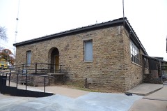 | Arkoma School | building | 1988 | 88001398 |
| Choctaw Agency | site | 1972 | 72001074 | |
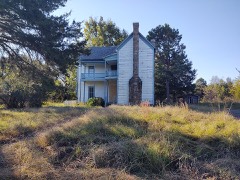 | Peter Conser House | district | 1971 | 71000665 |
| Dog Creek School | building | 1988 | 88001399 | |
| Hotel Lowrey | building | 2020 | 100005860 | |
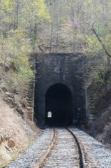 | Jenson Tunnel | structure | 1976 | 76001567 |
 | LeFlore County Courthouse | building | 1984 | 84003099 |
| Old City Hall, Theater and Masonic Lodge | building | 2020 | 100005557 | |
| Old Military Road | site | 1976 | 76002155 | |
| Overstreet House | building | 1980 | 80004285 | |
| Overstreet House | building | 1980 | 80004285 | |
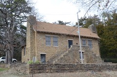 | Poteau Community Building | building | 1988 | 88001403 |
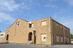 | Poteau School Gymnasium-Auditorium | building | 1988 | 88001404 |
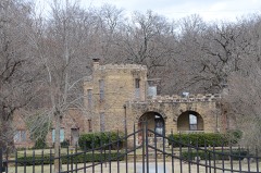 | James E. Reynolds House | building | 1977 | 77001093 |
| Shady Point School | building | 1988 | 88001405 | |
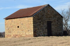 | Skullyville County Jail | building | 1980 | 80004286 |
 | Summerfield School | building | 1988 | 88001406 |
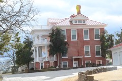 | Terry House | building | 1980 | 80004287 |
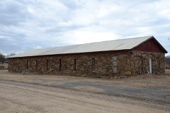 | Trahern's Station | site | 1972 | 72001073 |
 | Tucker School | building | 1988 | 88001407 |
 | Twyman Park | district | 1988 | 88001402 |
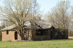 | Williams School | building | 1988 | 88001408 |
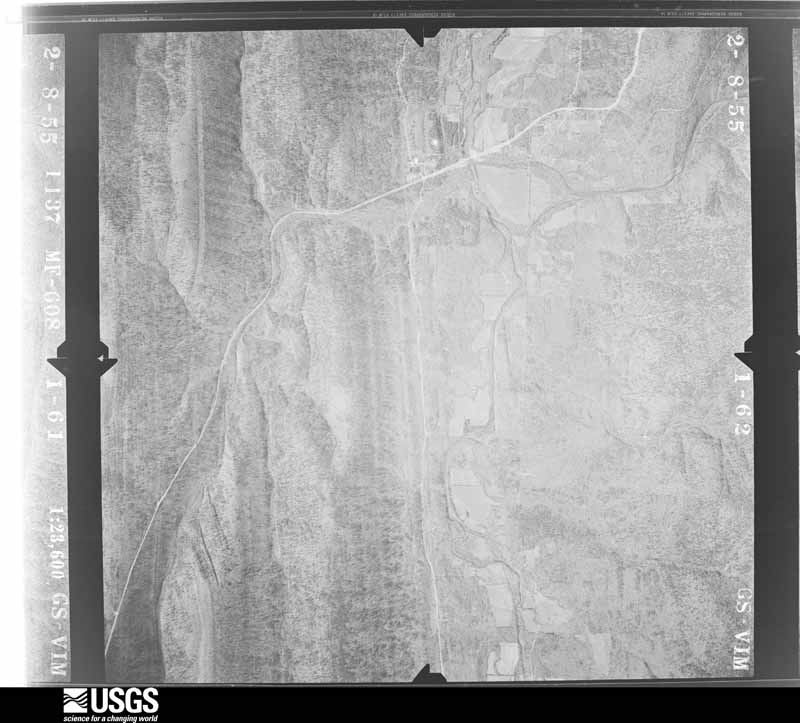
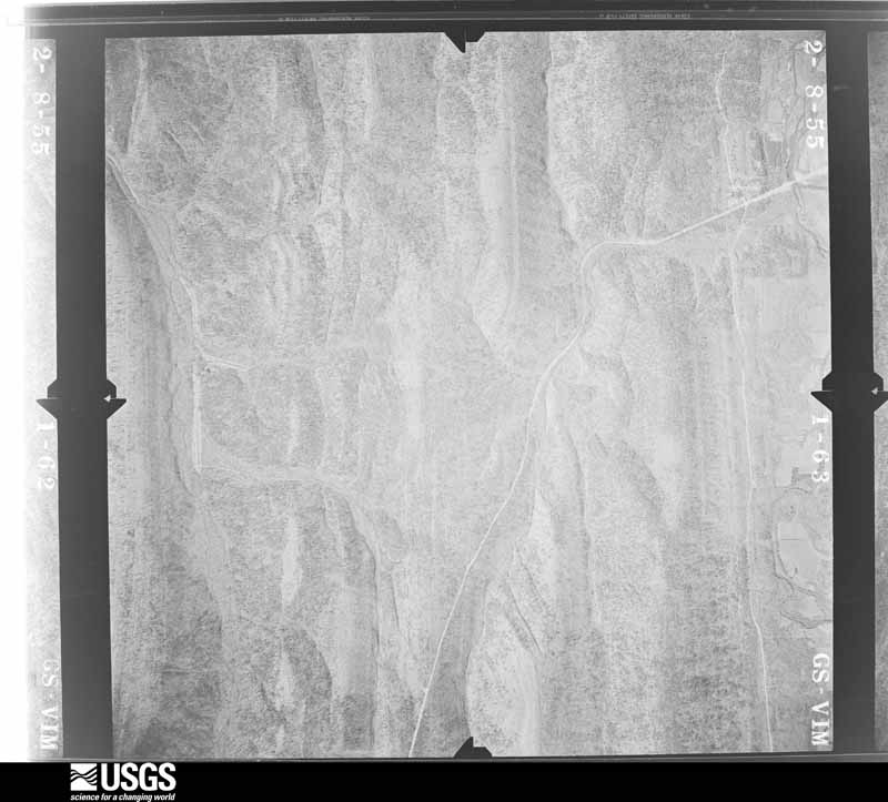
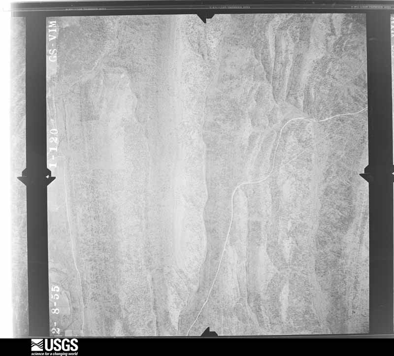
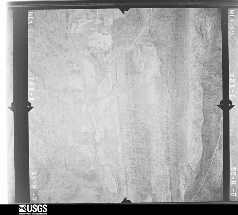
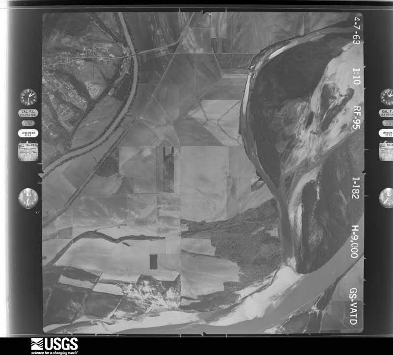
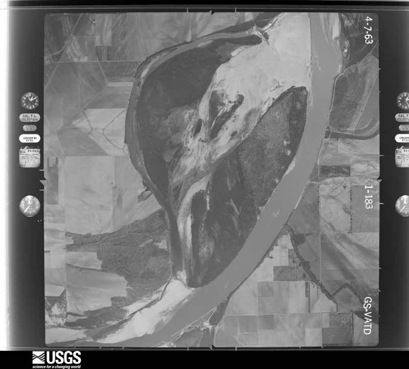
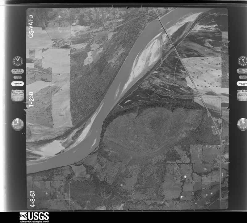
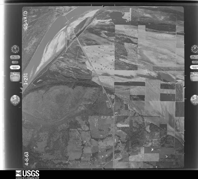
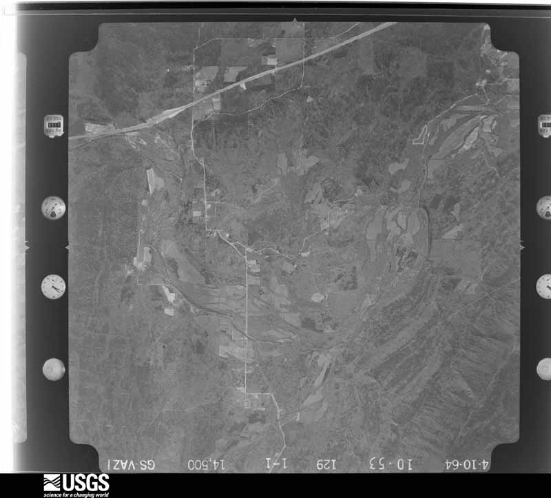
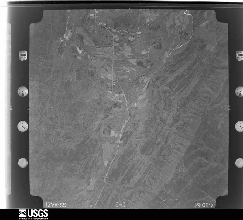
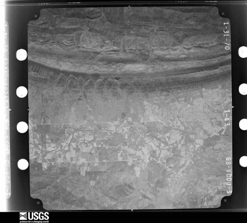
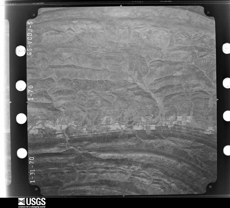
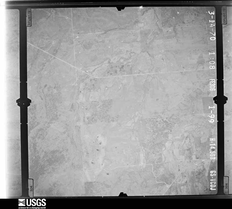
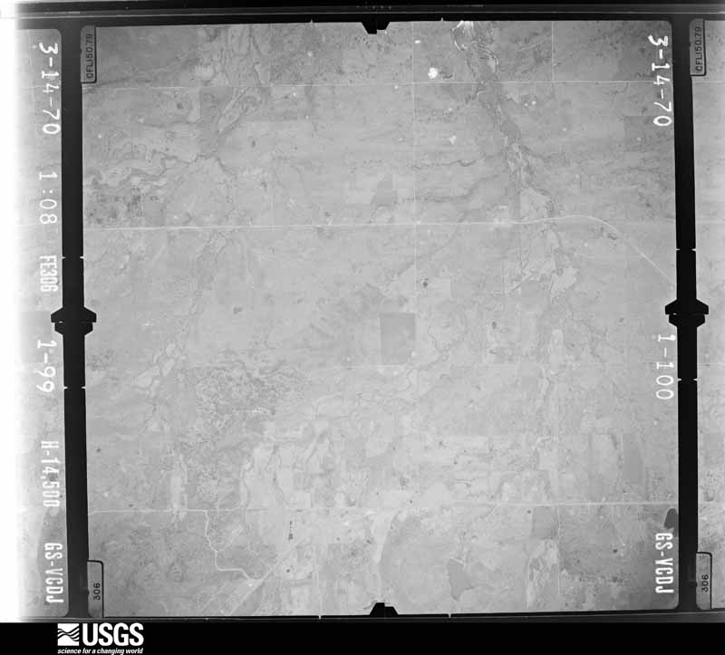
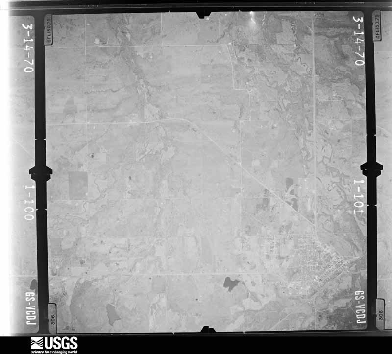
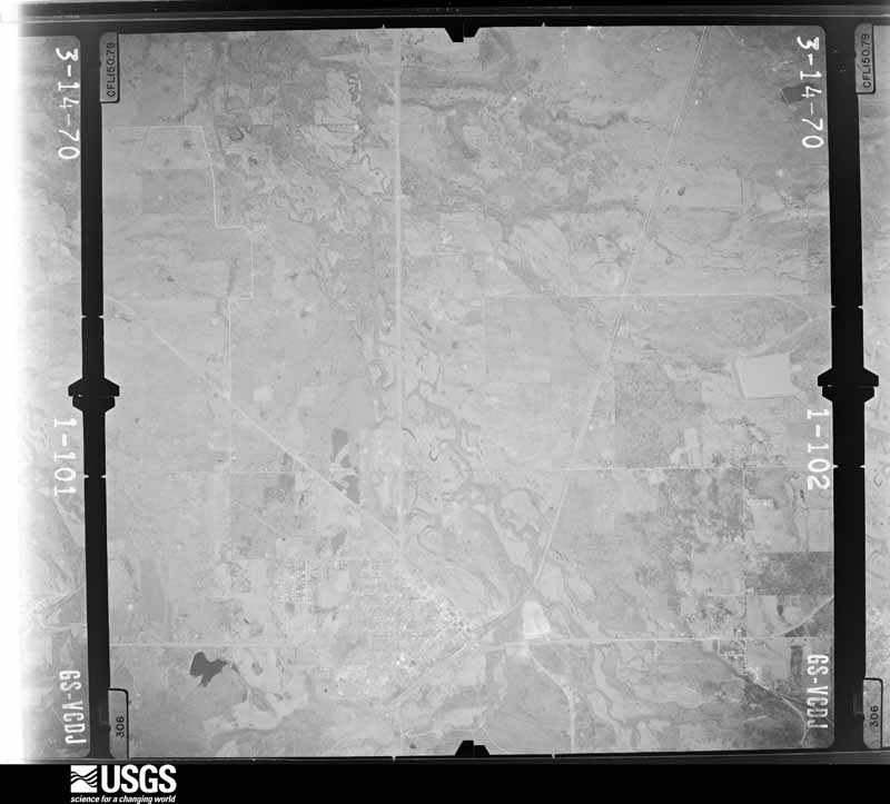
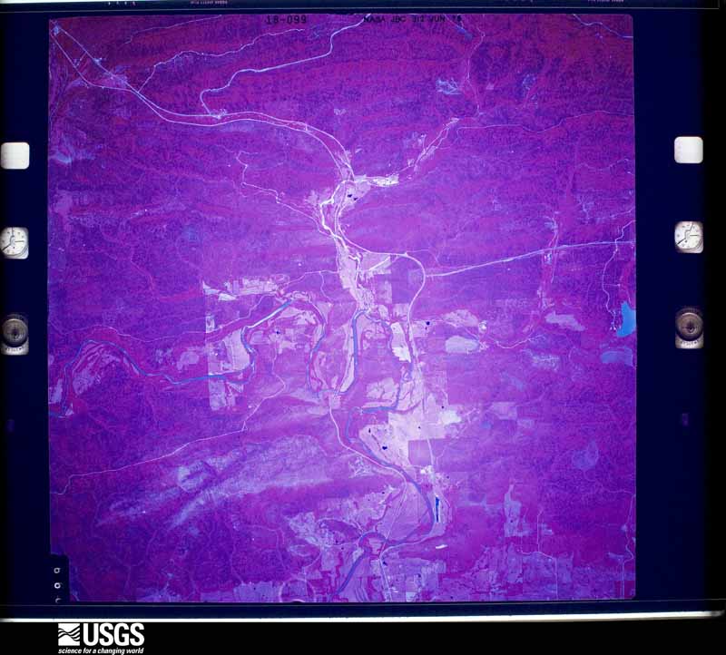
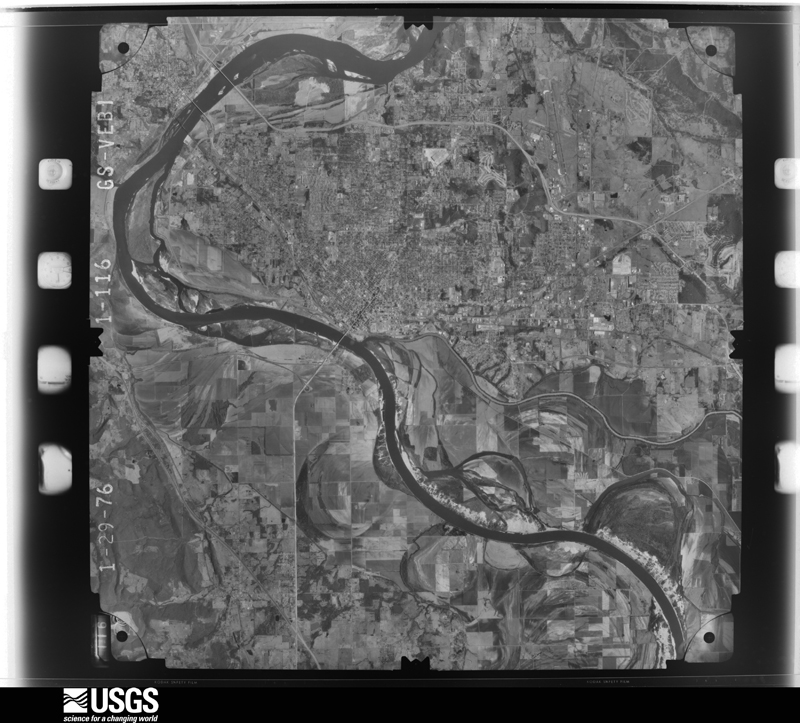
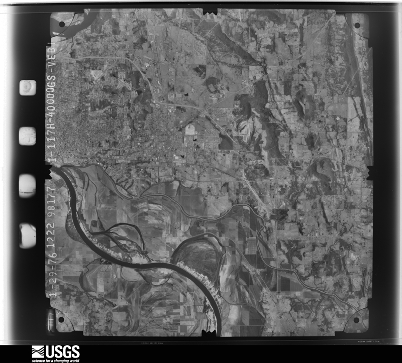
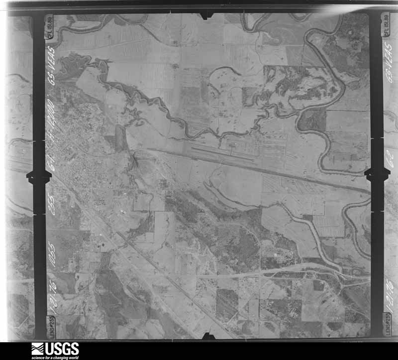
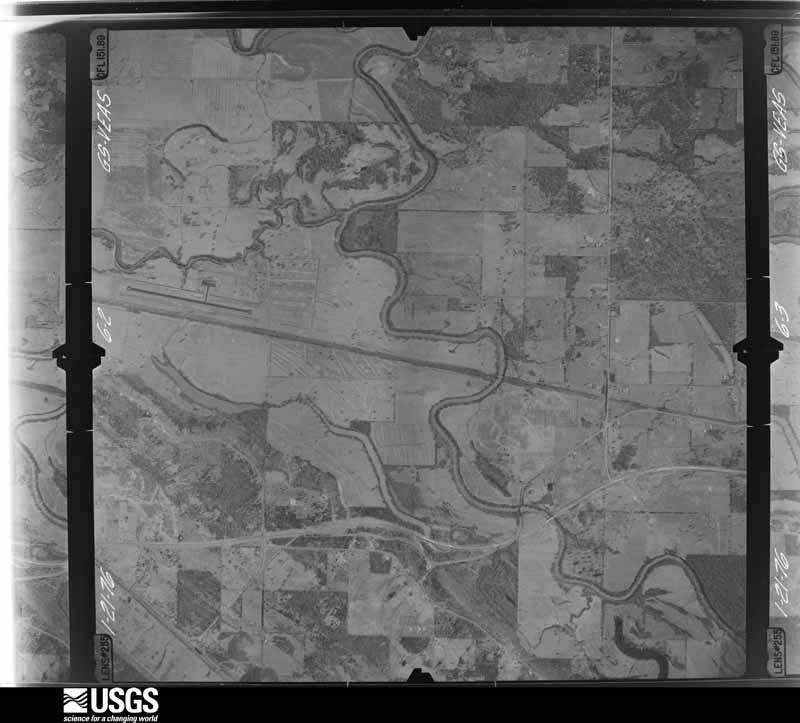
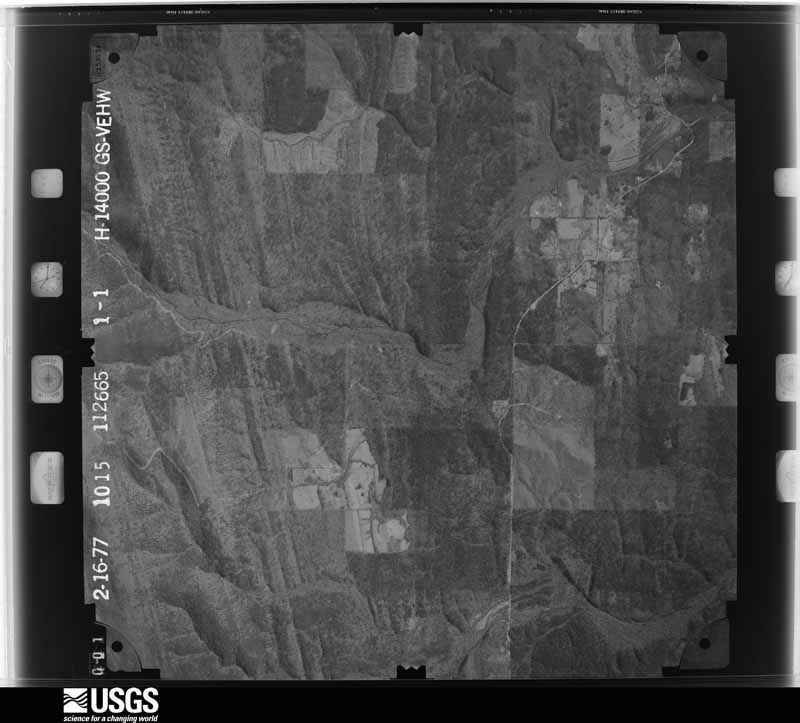
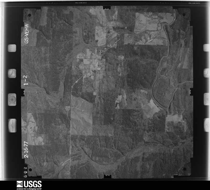
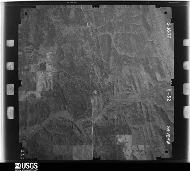
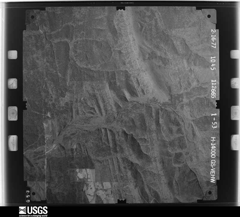
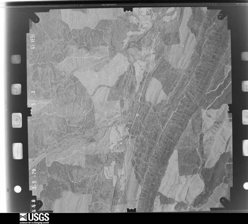
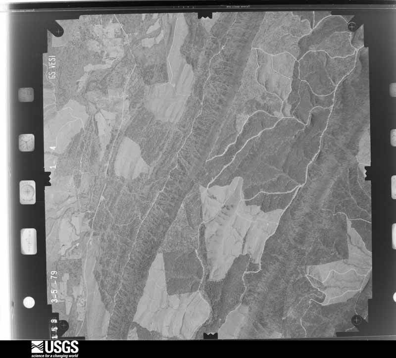
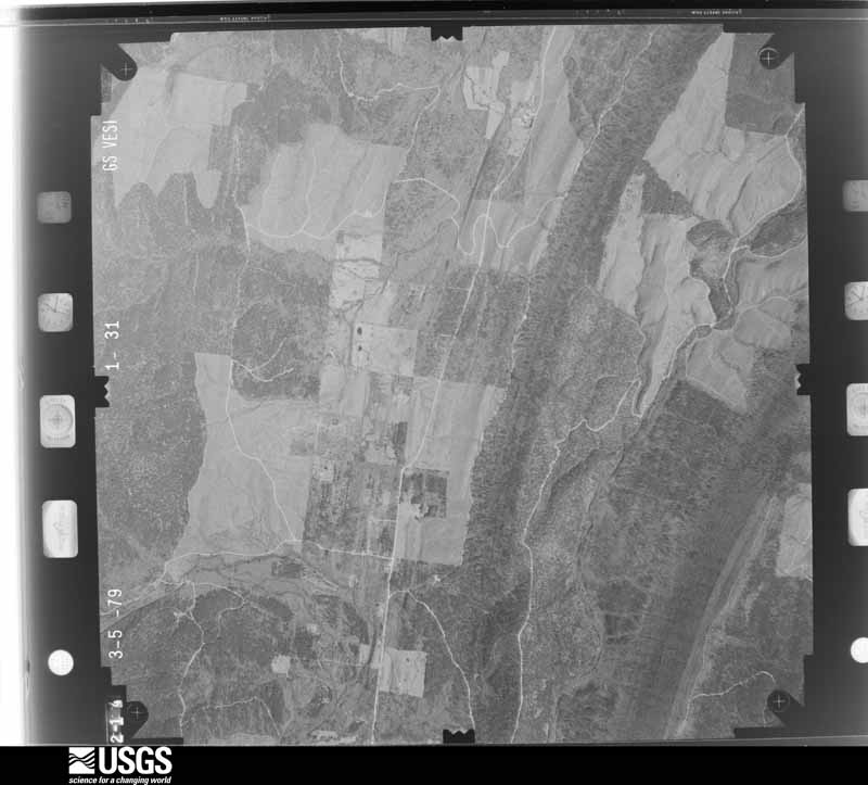
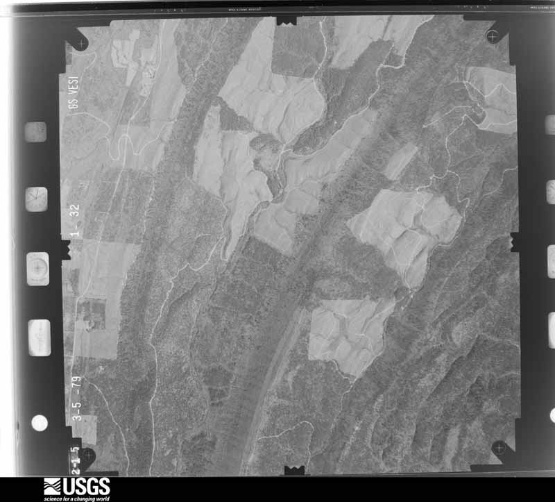
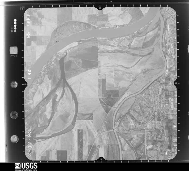
Flown by the U.S. Geological Survey between 1937 and 1989, the Aerial Photo Single Frames collection is the definitive mid-century view of the land: fields, roads and rivers as the camera saw them. The Survey holds 1,739 frames inside the rectangle that bounds this county; the 45 frames below were taken over the county itself, chosen across the decades of flights (at most four a year from that rectangle), so one flight cannot crowd out the rest. The full set is free to browse and download at EarthExplorer under the dataset Aerial Photo Single Frames.
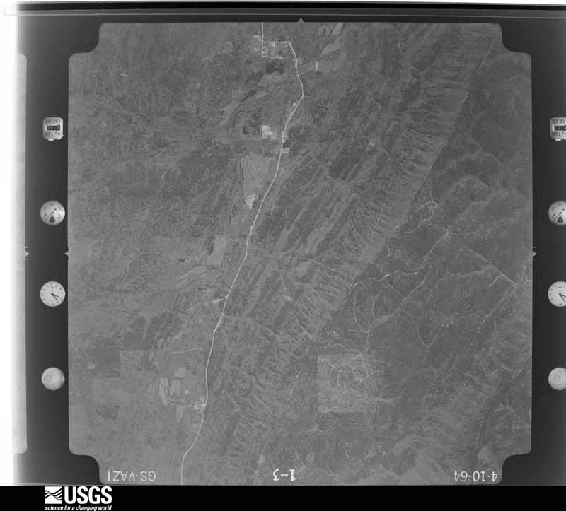
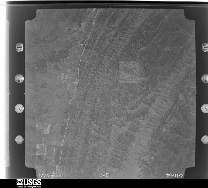
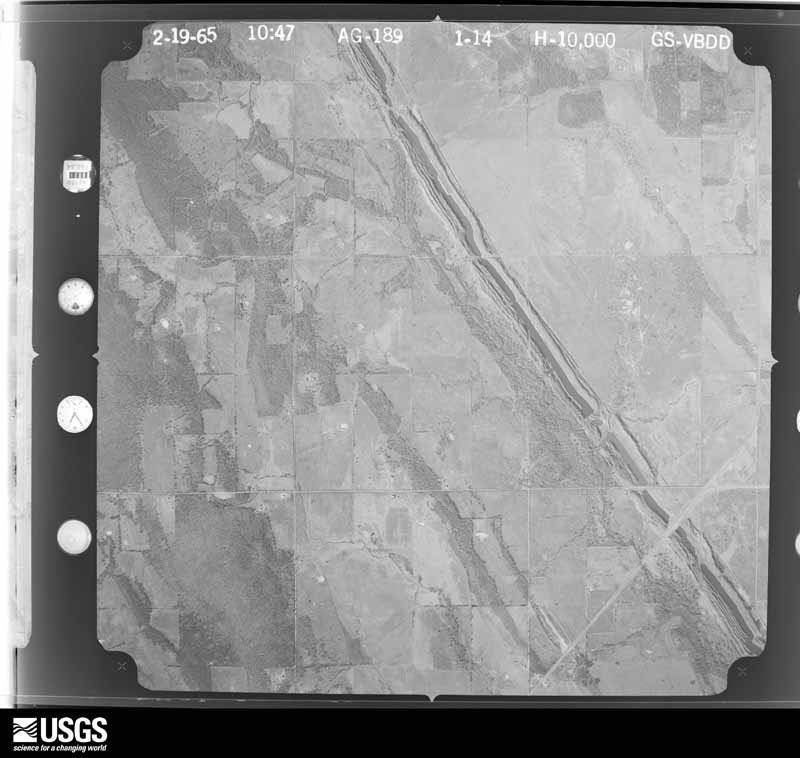
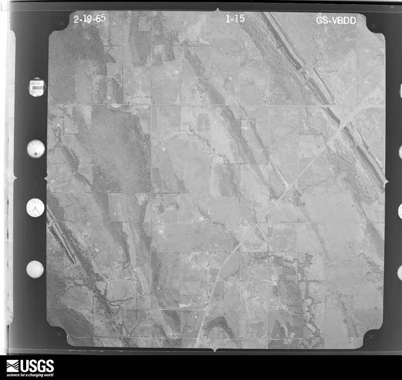
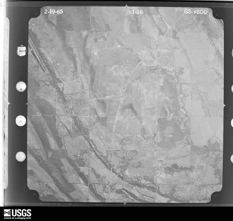
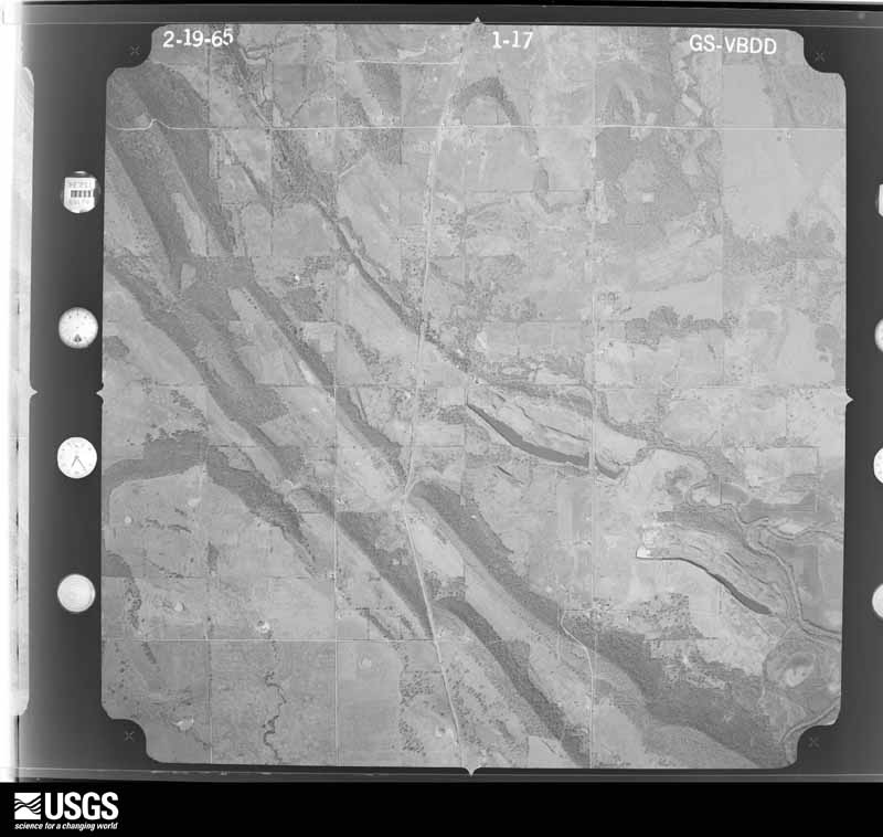
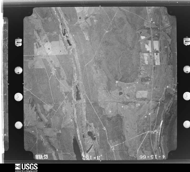

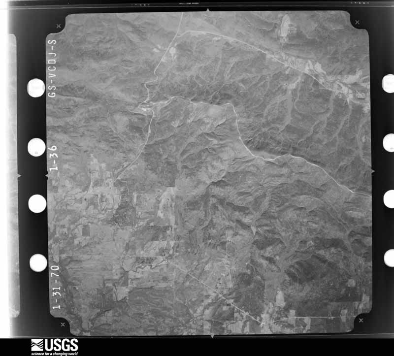



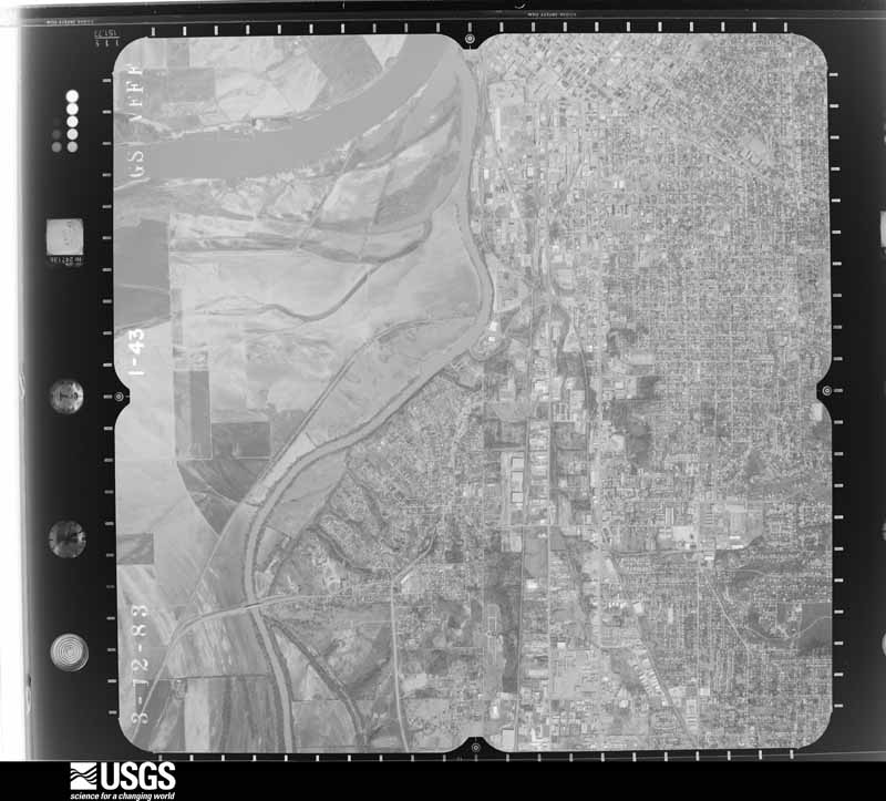
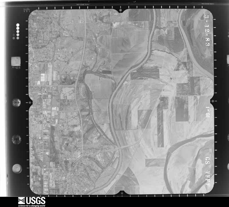
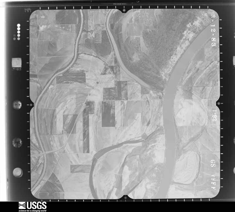
The thermometers that kept this county's weather, and the gages that measured the flow of its streams, as the federal records hold them. The extremes below are measured values from those records, not estimates.
Who lived here in 1950, one enumeration district at a time, as the Census Bureau described each district. Each row opens its official National Archives result, with Population Schedules and ED Maps available there.
Every wildfire the federal occurrence database records inside this county: 3,138 of them, burning about 131,118 acres. 139 started naturally and 1,321 were recorded as arson. Each settlement page carries the fires within five miles of it.
| Reported cause | Fires |
|---|---|
| Arson/incendiarism | 1321 |
| Missing data/not specified/undetermined | 962 |
| Debris and open burning | 371 |
| Equipment and vehicle use | 151 |
| Natural | 139 |
| Railroad operations and maintenance | 68 |
| Recreation and ceremony | 52 |
| Smoking | 33 |
| Misuse of fire by a minor | 23 |
| Power generation/transmission/distribution | 11 |
| Fireworks | 5 |
| Other causes | 2 |
The five largest, by the area the report gives. Two of them were set deliberately.
| Date | Cause | Size | Reported by | Name on the report |
|---|---|---|---|---|
| 19 September 2000 | Missing data/not specified/undetermined | 2,700 acres | Oklahoma Division of Forestry | CALHOUN |
| 1 February 2016 | Arson/incendiarism | 2,400 acres | Oklahoma Division of Forestry | not named |
| 12 February 1996 | Missing data/not specified/undetermined | 1,900 acres | Oklahoma Division of Forestry | not named |
| 19 September 2000 | Missing data/not specified/undetermined | 1,800 acres | Oklahoma Division of Forestry | SUGARLOAF |
| 13 February 1996 | Missing data/not specified/undetermined | 1,800 acres | Oklahoma Division of Forestry | not named |
| 4 August 2011 | Arson/incendiarism | 1,384 acres | Ouachita National Forest | BLUE BRANCH |
| 4 March 2017 | Missing data/not specified/undetermined | 1,330 acres | Oklahoma Division of Forestry | not named |
| 20 February 1996 | Missing data/not specified/undetermined | 1,300 acres | Oklahoma Division of Forestry | not named |
Every settlement page carries the fires within five miles of it - see the settlement index below.
The NOAA Storm Events Database holds 1,256 reports for this county, causing 21 deaths, 167 injuries and about $20,594,280 in recorded property damage. Each settlement page carries the reports that name it.
| Kind of event | Reports |
|---|---|
| Hail | 550 |
| Thunderstorm Wind | 467 |
| Flash Flood | 94 |
| Tornado | 78 |
| Flood | 63 |
| Funnel Cloud | 2 |
| Lightning | 2 |
The most serious of them, by death, then injury, then recorded damage. The accounts are quoted exactly as the forecast office filed them.
| When | Event | Place named | Harm | What the report says |
|---|---|---|---|---|
| May 1961 | Tornado (F4) | not stated | 16 killed, 58 hurt, $250,000 | no account filed |
| March 1976 | Tornado (F5) | not stated | 2 killed, 64 hurt, $2,500,000 | no account filed |
| March 1976 | Tornado (F4) | not stated | 1 killed, 4 hurt, $250,000 | no account filed |
| June 2019 | Flash Flood | Neff | 1 killed | Portions of several county roads were flooded. A motorist drove into flood water on Gilmore Road east of Poteau and was drowned. |
| May 2015 | Flood | Coal Creek | 1 killed | The Poteau River near Panama rose above its flood stage of 29 feet at 2:15 am CDT on May 10th. The river crested at 43.54 feet at 1:00 am CDT on the 12th, resulting in major flooding. Very severe agricultural flooding occurred and many county roads were totally impassable. One flood-related fatality occurred at around 3:30 am CDT on the 11th near Spiro when a man tried to rescue cattle that had been inundated by flood waters. He drown and was found on May 13th. The river fell below flood stage at 11:30 pm CDT on the 15th. |
| April 1980 | Tornado (F3) | not stated | 9 hurt, $2,500,000 | no account filed |
| November 1983 | Tornado (F3) | not stated | 6 hurt, $2,500,000 | no account filed |
| February 1997 | Thunderstorm Wind | Pocola | 4 hurt, $540,000 | no account filed |
| April 2009 | Tornado (EF2) | (Pgo)Page | 4 hurt, $100,000 | A tornado destroyed a mobile home, injuring four occupants, two of which were severely injured. Several other mobile homes were also severely damaged and a permanent home was damaged. Numerous trees were snapped or uprooted. Based on this damage, maximum winds were estimated to be between 120 and 130 mph. |
| March 1985 | Thunderstorm Wind | not stated | 4 hurt | no account filed |
| April 2011 | Tornado (EF1) | Wister | 3 hurt, $40,000 | A tornado rolled a mobile home, injuring three people, damaged the roof of a permanent home, and snapped or uprooted numerous large trees. Maximum estimated wind in the tornado based on this damage was about 105 mph. A storm spotter witnessed this tornado. |
| February 1997 | Thunderstorm Wind | Cameron | 2 hurt, $120,000 | no account filed |
| February 2007 | Thunderstorm Wind | Spiro | 2 hurt, $100,000 | Strong thunderstorm wind destroyed a garage, caused minor damage to about two dozen homes, snapped numerous trees, and blew down power lines. A travel trailer was blown over on its side and two occupants were injured. |
| May 1998 | Tornado (F1) | Calhoun | 2 hurt, $100,000 | At 838 PM CDT, a tornado touched down in the small community of Calhoun. Six homes in Calhoun were damaged, four of which were considered destroyed. One of the six was a mobile home. Two minor injuries occurred when a home was lifted off of its concrete block foundation and destroyed. Wind speed estimates based on the damage suggests velocities were in the upper end of the F1 category, meaning wind in Calhoun were near 110 mph. |
| August 2001 | Thunderstorm Wind | Spiro | 1 hurt, $50,000 | A microburst slammed into the rural Fort Coffee community, destroying one unanchored trailer, and causing other damage over about a 3-4 square mile area. The storm was moving to the WSW at about 20 knots. The microburst had a measured divergent spread of 140 degrees with the left (south) edge of the debris blown to 160 degrees and the right (north) edge of the debris blown to 300 degrees.The destroyed trailer faced south and was hit from the rear by outflow winds from 340 degrees. This wind direction was about 80 degrees from the path of the storm, implying that there was practically no translational speed added into this wind, therefore, it is thought that the trailer was destoyed by no more than a 60 mph wind. The trailer was flipped onto its roof, then came apart, and was spread across the road and into the field to the south. A man and his son were in the trailer at the time of the event. The man suffered a minor neck injury. A couple of barns and a carport were destroyed as well, and several residences sustained damage ranging from shingles loosened to structural damage of a garage and outside wall.The storm cluster producing this microburst had also produced a microburst over the city of Fort Smith, Arkansas. |
| May 2011 | Thunderstorm Wind | Spiro | 1 hurt, $30,000 | Strong thunderstorm wind gusts blew down many trees and power lines. One tree fell on a vehicle, injuring its occupant. Several homes were also damaged by the wind. |
| April 1968 | Tornado (F2) | not stated | 1 hurt, $25,000 | no account filed |
| June 1958 | Tornado (F2) | not stated | 1 hurt, $25,000 | no account filed |
| March 1991 | Tornado (F1) | not stated | 1 hurt | no account filed |
| January 1999 | Hail | Poteau | $2,600,000 | Golfball-sized hail caused major damage in Poteau. Many cars had their windshields broken out, their mirrors and antennae knocked off, and some cars were dented so badly that it knocked off paint. The entire police fleet suffered dents. Roof damage on many buildings was considerable. State Farm Insurance alone had 800 building damage claims and 350 auto claims stemming from the storm. The awning on the Black Angus restaurant on Broadway was shredded by the force of the hail. State Farm reported $1.6 million in claims, and the Reed-Williams Insurance Company reported $1 million in claims two weeks after the storm, and more claims were still coming in. All in all, this was a historic hailstorm for Poteau. |
| March 2000 | Tornado (F2) | Hodgen | $1,200,000 | A tornado touched down 1.5 miles northwest of Hodgen and moved southeast passing near the town of Hodgen before lifting 2 miles southeast of Hodgen. Three mobile homes were destroyed and as many as eight others were damaged. In addition, two broiler houses were destroyed, killing all the chickens inside.A few other agriculture structures were damaged and a few power lines were blown down. |
| March 2006 | Tornado (F1) | Shady Pt | $700,000 | A tornado associated with the north end of a bowing convective line segment destroyed two chicken houses, severely damaged several homes, destroyed sheds and outbuildings, snapped and uprooted a number of trees, and blew down power lines and power poles. |
| May 2015 | Tornado (EF2) | Smacker | $500,000 | This tornado developed near Kerr Mansion, south-southwest of Poteau. It moved north-northeast then turned more northward west of Poteau and eventually curved north-northwest as it moved through Shady Point and west of Panama before dissipating. Several homes were severely damaged within the path, a number of other homes received roof damage, at least two mobile homes were destroyed, barns and outbuildings were destroyed, a cellular communications tower was partially collapsed, numerous trees were snapped or uprooted, and power poles were blown down by this tornado. Based on this damage, maximum estimated wind in the tornado was 110 to 120 mph. |
| November 1983 | Tornado (F3) | not stated | $250,000 | no account filed |
| May 1982 | Tornado (F2) | not stated | $250,000 | no account filed |
| May 1960 | Tornado (F3) | not stated | $250,000 | no account filed |
| March 1956 | Tornado (F2) | not stated | $250,000 | no account filed |
| April 2017 | Tornado (EF2) | Neff | $150,000 | A tornado developed southwest of Cameron and moved generally north. It destroyed mobile homes, damaged homes, destroyed outbuildings, snapped numerous trees and power poles, uprooted numerous trees, and rolled several vehicles. Based on this damage, maximum estimated wind in the tornado was 110 to 120 mph. |
| May 2015 | Flash Flood | Talihina | $150,000 | Numerous buildings in town were flooded, including the housing authority, the Choctaw Nation Hospital, and a nursing home. |
| June 2005 | Lightning | Talihina | $120,000 | Lightning struck a diner causing a fire that burned it down. |
| May 1999 | Tornado (F1) | Cowlington | $110,000 | An F1 tornado touchdown in Cowlington. The tornado damaged eight single-family homes, destroyed two mobile homes, and damaged two trailers. A mattress was lodged in a tree behind a mobile home in which its roof was peeled back. The tornado also uprooted several trees. |
| April 2026 | Hail | Wister | $100,000 | Tennis ball size hail damaged homes, businesses, and vehicles. |
| April 2026 | Hail | Poteau | $100,000 | Tennis ball size hail damaged homes and vehicles. |
| May 2022 | Tornado (EF1) | Heavener Arpt | $100,000 | This tornado developed east of Horsepen Creek and south of Poteau Mountain Road, where trees were uprooted. The tornado moved northeast across Poteau Mountain Road, snapping and uprooting numerous trees, and then it destroyed an outbuilding, damaged a home, destroyed an RV, and blew the roof from an uninhabited home. The tornado became about 8/10 of a mile wide as it approached Gassaway Loop and then crossed Highway 83. Numerous trees were snapped and uprooted, and outbuildings were destroyed through this area. The tornado continued to produce tree damage and outbuilding damage as it crossed Gilmore and Midway Roads, and then dissipated north of Midway Road. Based on this damage, maximum estimated wind in the tornado was 105 to 110 mph. |
| May 2015 | Flash Flood | Talihina | $100,000 | Widespread flooding occurred in this part of the county. Five apartments were inundated with up to six inches of water. Several class rooms at the high school field house were flooded. Two businesses and a duplex were flooded. Numerous county roads were flooded and impassable, including Highway 82, Highway 63, Highway 1. |
| May 2011 | Tornado (EF2) | Reichert | $100,000 | A tornado destroyed a mobile home, damaged several permanent homes, snapped dozens of power poles, and snapped or uprooted numerous large trees. Maximum estimated wind in the tornado based on this damage was about 115 mph. |
| November 2011 | Flash Flood | Conser | $100,000 | Multiple roads across southern Le Flore County were flooded and impassable. Water rescues were conducted at Cedar Lake where recreational vehicles were washed away. |
| June 2004 | Hail | Panama | $100,000 | Baseball size hail damaged roofs of buildings and vehicles. The largest of the stones was spotty. Otherwise more damage would have occurred. |
| March 2000 | Hail | Wister | $100,000 | no account filed |
| March 2000 | Hail | Heavener | $100,000 | no account filed |
| July 2004 | Flash Flood | North Portion | $83,000 | Heavy thunderstorm rains which totalled 5.32 inches at Spiro and 3.06 inches at Panama caused flash flooding across the northern part of Le Flore county. Several county roads were flooded or impassable. Some of the roads received excessive damage. |
| April 2026 | Hail | Wister | $75,000 | Golf ball size hail damaged homes, businesses, and vehicles. |
| April 2023 | Hail | Spiro | $75,000 | Tennis ball size hail damaged homes and vehicles. |
| November 2022 | Tornado (EF1) | Heavener | $75,000 | This tornado developed just south of Highway 128 on the southeast side of Heavener, where several homes were damaged, outbuildings were destroyed, and trees were snapped or uprooted. It moved northeast into mountainous, and heavily wooded terrain, snapping and uprooting numerous trees on Middle Mountain and Poteau Mountain before dissipating near Cowskin Ridge. Based on this damage, maximum estimated wind in the tornado was 100 to 110 mph. |
| September 2020 | Flash Flood | Shady Pt | $75,000 | Multiple empty mobile homes at a mobile home sales lot were floated away by rising flood water. |
| May 2015 | Flash Flood | Pocola | $75,000 | A low water bridge was washed out by high water. Portions of Barnes Road were washed out by flooding. |
| November 2022 | Tornado (EF1) | Ludlow | $70,000 | This is the second segment of a two segment tornado, which developed in heavily wooded terrain in far northern McCurtain County. In Le Flore County, numerous trees were snapped or uprooted, a couple homes were damaged, and several outbuildings were destroyed from southeast of Honobia to northeast of Honobia. Based on this damage, maximum estimated wind in this segment of the tornado was 100 to 110 mph. |
| June 1999 | Thunderstorm Wind | Pocola | $70,000 | Strong winds damaged three mobile homes in Pocola. Trees falling onto power lines caused power outages to 2,000 electric customers in Pocola, Scullyville, and Murry Spur. |
| April 2026 | Hail | Talihina | $50,000 | Golf ball size hail damaged homes, businesses, and vehicles. |
| May 2022 | Hail | Wister | $50,000 | Golf ball size hail damaged homes, businesses, and vehicles. |
| April 2022 | Hail | Braden | $50,000 | Golf ball size hail damaged homes, businesses, and vehicles. |
| April 2022 | Hail | Arkoma | $50,000 | Golf ball size hail damaged homes, businesses, and vehicles. |
| September 2020 | Flash Flood | Shady Pt | $50,000 | Multiple houses were flooded in Shady Point, and at least one car was stalled in flood water. Multiple people were rescued from one of the flooded homes. |
| May 2015 | Tornado (EF1) | Talihina | $50,000 | A tornado severely damaged a home and snapped or uprooted trees. Based on this damage, maximum estimated wind in the tornado was 100 to 110 mph. |
| October 2014 | Tornado (EF1) | Stony Pt | $50,000 | A tornado tore portions of the roofs and walls from two chicken houses, uprooted several hardwood trees, and snapped numerous large tree limbs. Based on this damage, maximum estimated wind in the tornado was 85 to 90 mph. |
| September 2010 | Flash Flood | Cowlington | $50,000 | Several county roads were damaged by flooding in the northwestern portion of the county. |
| June 2009 | Thunderstorm Wind | Arkoma | $50,000 | Thunderstorm winds estimated at 80 miles an hour blew out windows and damaged roofs. |
| April 2009 | Hail | Muse | $50,000 | Hail as large as baseballs caused widespread roof and window damage near Muse. |
| April 2008 | Thunderstorm Wind | Cowlington | $50,000 | Thunderstorm winds estimated at 70 miles an hour uprooted trees. Homes were damaged. |
| September 2007 | Flash Flood | Heavener | $50,000 | Heavy rains caused flooding of numerous secondary roads across southern Le Flore county. A few bridges were washed out near Big Cedar. |
The Survey's mineral resources record lists 31 workings inside this county. 6 still produce and 25 are closed or unrecorded. Each settlement page carries the workings within five miles of it.
| Commodity | Workings |
|---|---|
| Stone, Crushed/Broken | 17 |
| Sand and Gravel, Construction | 8 |
| Clay | 5 |
| Flagstone | 1 |
The least common of them first, because a county's hundredth gravel pit says nothing its first ten did not.
| Where | Site | Commodity | Status | Recorded |
|---|---|---|---|---|
| Perkings Quarry | Flagstone | Producer | ||
| Chandler Clay Mine | Clay | Producer | ||
| Unknown Shale Pit | Clay | Past Producer | ||
| Unknown Shale Pit | Clay | Past Producer | ||
| Unknown Shale Pit | Clay | Past Producer | ||
| Unknown Shale Pit | Clay | Past Producer | ||
| Building Stone Quarry | Sand and Gravel, Construction | Producer | ||
| Miller Pit | Sand and Gravel, Construction | Producer | ||
| Unknown Gravel Pit | Sand and Gravel, Construction | Past Producer | ||
| Unknown Gravel Pit | Sand and Gravel, Construction | Past Producer | ||
| Unknown Gravel Pit | Sand and Gravel, Construction | Past Producer | ||
| Unknown Gravel Pit | Sand and Gravel, Construction | Past Producer | ||
| Unknown Gravel Pit | Sand and Gravel, Construction | Past Producer | ||
| Unknown Gravel Pit | Sand and Gravel, Construction | Past Producer | ||
| Hamilton Pit | Stone, Crushed/Broken | Producer | ||
| Rock Island Stone | Stone, Crushed/Broken | Producer | ||
| Unknown Sandstone Pit | Stone, Crushed/Broken | Past Producer | ||
| Unknown Sandstone Pit | Stone, Crushed/Broken | Past Producer | ||
| Unknown Sandstone Pit | Stone, Crushed/Broken | Past Producer | ||
| Unknown Sandstone Pit | Stone, Crushed/Broken | Past Producer | ||
| Unknown Sandstone Pit | Stone, Crushed/Broken | Past Producer | ||
| Unknown Sandstone Pit | Stone, Crushed/Broken | Past Producer | ||
| Unknown Sandstone Pit | Stone, Crushed/Broken | Past Producer | ||
| Unknown Sandstone Pit | Stone, Crushed/Broken | Past Producer | ||
| Unknown Sandstone Pit | Stone, Crushed/Broken | Past Producer | ||
| Unknown Sandstone Pit | Stone, Crushed/Broken | Past Producer | ||
| Unknown Sandstone Pit | Stone, Crushed/Broken | Past Producer | ||
| Unknown Sandstone Pit | Stone, Crushed/Broken | Past Producer | ||
| Unknown Sandstone Pit | Stone, Crushed/Broken | Past Producer | ||
| Unknown Sandstone Pit | Stone, Crushed/Broken | Past Producer | ||
| Unknown Sandstone Pit | Stone, Crushed/Broken | Past Producer |
Named settlements recorded in the Geographic Names Information System, each with the topographic sheets covering it. Villages, hamlets and abandoned places alike. Each is shown with the nearest named watercourse or landform and the survey quadrangle it falls on. The 8 places that were also surveyed for fire insurance come first, with the number of atlases and photographs held for them.
Panama-Bokoshe census division · 74930 · Near Bald Knob · Bokoshe quadrangle
16 sheets, 1900 to 1978
Fire insurance: 2 atlases
Cameron census division · 74932 · On Cameron Mountain · Spiro quadrangle
14 sheets, 1900 to 1978
Fire insurance: 4 atlases
Heavener census division · 74937 · Heavener quadrangle
17 sheets, 1900 to 1989
Fire insurance: 3 atlases
Heavener census division · 74940 · Wister quadrangle
17 sheets, 1900 to 1989
Fire insurance: 4 atlases
Poteau census division · 74953 · Near Terry Hill · Poteau East quadrangle
16 sheets, 1900 to 1978
Fire insurance: 7 atlases
Spiro census division · 74959 · Spiro quadrangle
14 sheets, 1900 to 1978
Fire insurance: 5 atlases
Talihina census division · 74571 · Talihina quadrangle
18 sheets, 1901 to 1991
Fire insurance: 7 atlases
Wister census division · 74966 · On Mountain Creek · Wister quadrangle
17 sheets, 1900 to 1989
Fire insurance: 6 atlases
Talihina census division · 74939 · On Big Cedar Creek · Big Cedar quadrangle
18 sheets, 1900 to 1989
Panama-Bokoshe census division · 74944 · On Wolf Creek · Potato Peaks quadrangle
17 sheets, 1900 to 1978
Spiro census division · 74901 · On Wells Creek · Fort Coffee quadrangle
15 sheets, 1900 to 1978
Wister census division · 74966 · On Little Caston Creek · Summerfield quadrangle
15 sheets, 1900 to 1989
Pocola census division · 74902 · Near Cedar Knob · Hackett quadrangle
23 sheets, 1887 to 1987
Pocola census division · 74902 · Near George Mountain · South Fort Smith quadrangle
25 sheets, 1879 to 1987
Spiro census division · 74959 · On Coal Creek · Panama quadrangle
14 sheets, 1900 to 1978
Wister census division · 74966 · In Compton Hollow · Talihina quadrangle
18 sheets, 1901 to 1991
Spiro census division · 74959 · On Coal Creek · Muldrow SW quadrangle
16 sheets, 1900 to 1978
Panama-Bokoshe census division · 74956 · On Owl Creek · Potato Peaks quadrangle
17 sheets, 1900 to 1978
Heavener census division · 74937 · Near Lost Mountain · Heavener quadrangle
17 sheets, 1900 to 1989
Heavener census division · 74937 · On Sugar Creek · Hontubby quadrangle
18 sheets, 1900 to 1989
Heavener census division · 74940 · On Fanny Creek · Wister quadrangle
17 sheets, 1900 to 1989
Heavener census division · 74937 · On Haw Creek · Hontubby quadrangle
18 sheets, 1900 to 1989
Heavener census division · 74937 · On Cane Creek · Bates quadrangle
21 sheets, 1887 to 1989
Heavener census division · 74939 · On Black Fork · Hodgen quadrangle
17 sheets, 1900 to 1989
South Le Flore census division · 74549 · On Little Rock Creek · Honobia quadrangle
16 sheets, 1900 to 1989
Heavener census division · 74937 · On Hontubby Creek · Hontubby quadrangle
18 sheets, 1900 to 1989
Heavener census division · 74937 · Near Pine Mountain · Wister quadrangle
17 sheets, 1900 to 1989
Wister census division · 74966 · On Little Mountain Creek · Potato Peaks quadrangle
17 sheets, 1900 to 1978
Wister census division · 74966 · Near Crusher Hollow · Talihina quadrangle
18 sheets, 1901 to 1991
Panama-Bokoshe census division · 74956 · On Red Branch · Potato Peaks quadrangle
17 sheets, 1900 to 1978
Wister census division · 74942 · On Cedar Creek · Leflore quadrangle
16 sheets, 1900 to 1989
South Le Flore census division · 74957 · On Rock Creek · Ludlow quadrangle
16 sheets, 1900 to 1989
Cameron census division · 74947 · On Cowskin Creek · Heavener quadrangle
17 sheets, 1900 to 1989
Poteau census division · 74953 · On Polk Creek · Poteau East quadrangle
16 sheets, 1900 to 1978
Panama-Bokoshe census division · 74951 · On Buck Creek · Panama quadrangle
14 sheets, 1900 to 1978
Heavener census division · 74937 · Near Standpipe Hill · Hontubby quadrangle
18 sheets, 1900 to 1989
Heavener census division · 74937 · On Britton Branch · Hodgen quadrangle
17 sheets, 1900 to 1989
Heavener census division · 74937 · On Britton Branch · Hodgen quadrangle
17 sheets, 1900 to 1989
Cameron census division · 74932 · On Ivy Branch · Hackett quadrangle
23 sheets, 1887 to 1987
Panama-Bokoshe census division · 74956 · On Rock Creek · Panama quadrangle
14 sheets, 1900 to 1978
Heavener census division · 74939 · On McMurtery Branch · Hontubby quadrangle
18 sheets, 1900 to 1989
Spiro census division · 74959 · On Cache Creek · Muldrow SW quadrangle
16 sheets, 1900 to 1978
Heavener census division · 74937 · On Line Creek · Bates quadrangle
21 sheets, 1887 to 1989
Cameron census division · 74953 · On Wilson Creek · Bates quadrangle
21 sheets, 1887 to 1989
Spiro census division · 74959 · On Tucker Bottom · Muldrow SW quadrangle
16 sheets, 1900 to 1978
Wister census division · 74966 · On Little Caston Creek · Summerfield quadrangle
15 sheets, 1900 to 1989
Panama-Bokoshe census division · 74563 · On Peach Creek · McCurtain SW quadrangle
15 sheets, 1900 to 1978
Talihina census division · 74577 · On Deadman Creek · Whitesboro quadrangle
16 sheets, 1900 to 1989
South Le Flore census division · 74957 · On Murry Creek · Zafra quadrangle
23 sheets, 1890 to 1989
16 topographic sheets and 7 fire insurance atlases, 1899 to 1942
18 topographic sheets and 7 fire insurance atlases, 1896 to 1924
17 topographic sheets and 6 fire insurance atlases, 1899 to 1913
14 topographic sheets and 5 fire insurance atlases, 1904 to 1925
14 topographic sheets and 4 fire insurance atlases, 1899 to 1913
17 topographic sheets and 4 fire insurance atlases, 1904 to 1925
17 topographic sheets and 3 fire insurance atlases, 1913 to 1937
The complete index, with nothing left out. Each of these is a separate record with its own page: a federal survey report, or the case file that argued a property on to the National Register. Both are public domain and reproduced word for word.