 Block
Navina, Oklahoma
13 topographic sheets cover this place, the earliest surveyed in 1892 and the latest in 1990. It stands in the Guthrie census division. It lies in ZIP code area 73044. The Survey maps it on the Navina quadrangle.
Topographic sheets covering this place
7 surveys from 13 printed sheetsMatched by testing this settlement's coordinate against the published boundary of every sheet in the United States Geological Survey's historical collection. Each opens the scanned sheet at the Survey.
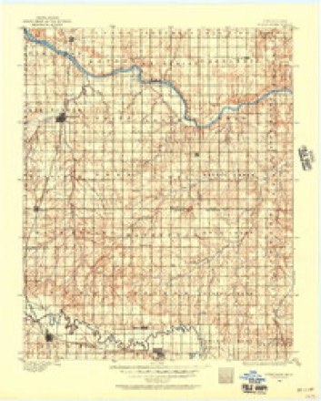
- 1892 USGS Kingfisher quadrangle1:125000
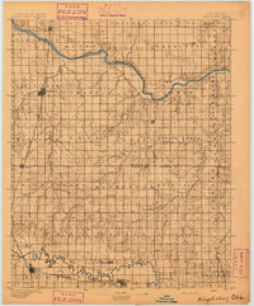
- 1895 USGS Kingfisher quadrangle1:125000, 4 printings
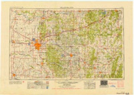
- 1954 USGS Oklahoma City quadrangle1:250000
- 1957 USGS Oklahoma City quadrangle1:250000, 3 printings
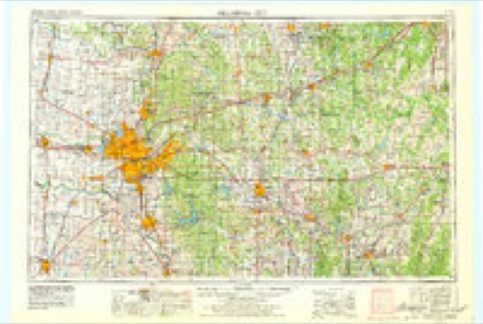
- 1963 USGS Oklahoma City quadrangle1:250000
- 1970 USGS Navina quadrangle1:24000, 2 printings
- 1990 USGS Oklahoma City North quadrangle1:100000
Mines and quarries near this place
2 within 5 milesRegional context, not property-specific evidence. The federal mineral resources record lists 2 workings within 5 miles of Navina: 1 producer, 1 past producer. 1 still produces. What was taken out: Sand and Gravel, Construction. Distance is straight-line from the map coordinates, so a quarry counted here may appear on a neighbouring settlement's page as well.
| Where | Site | Commodity | Status | Recorded |
|---|---|---|---|---|
| Unknown Sand Pit | Sand and Gravel, Construction | Producer | ||
| Unknown Sand Pit | Sand and Gravel, Construction | Past Producer |
Storms near this place
19 since 1993Regional context, not property-specific evidence. The National Weather Service names Navina in 19 storm reports between 1993 and 2025: 12 hail, 4 thunderstorm wind, 2 tornado, 1 flash flood. The reports record 2 deaths and 23 injuries. Each account below is quoted exactly as the forecast office filed it, from the NOAA Storm Events Database, and each date opens the federal record of that event.
| When | Event | Place named | Harm | What the report says |
|---|---|---|---|---|
| May 2011 | Tornado (EF3) | Navina | 2 killed, 23 hurt | This tornado is labeled B2 (Segment #3 of the Calumet-El Reno-Piedmont-Guthrie tornado). The tornado moved into Logan County and resulted in two additional fatalities (both of whom were outside when the tornado struck) near Cashion. The tornado destroyed several manufactured homes (both double- and single-wide) after entering Logan county. Large high-transmission line tresses collapsed. Trees were debarked with only stumps remaining. Several buildings had most of their exterior walls collapse, with only the inner walls remaining. EF-2 to occasionally EF-3 damage occurred as the tornado neared Guthrie. Luckily, most of the town of Guthrie was spared to the tornado as it moved west and then north of the center of the city. Finally, the tornado dissipated northeast of Guthrie with some minor tree damage. After it was all said and done, the tornado continued for 63 miles, and lasted around an hour and 45 minutes. Monetary damage estimates were not available. |
| May 2024 | Thunderstorm Wind | Navina | $10,000 | Social media image showing shingles removed from the roof a residence. Time is radar estimated. |
| May 2024 | Thunderstorm Wind | Navina | $10,000 | Several large trees and power poles snapped along portions of Waterloo Road between Western Avenue and Oklahoma Highway 74. Time is radar estimated. |
| November 2008 | Hail | Navina | $2,000 | The hail was reported on Highway 74. A car windshield was broken as a result of the hail. Monetary damages were estimated. |
| June 2025 | Thunderstorm Wind | Navina | - | An observation near the intersection of Oklahoma State Highway 74 and Seward Road. |
| April 2024 | Hail | Navina | - | MPing report. |
| June 2024 | Hail | Navina | - | MPing report. Based on radar evidence, hailfall likely occurred prior (2045-2050 LST) to report time. |
| June 2024 | Hail | Navina | - | MPing report. |
| April 2023 | Hail | Navina | - | MPing report. |
| July 2023 | Flash Flood | Navina | - | Heavy rainfall caused Cottonwood Creek to rise out of its banks, flooding portions of County Line Road. Time is estimated. |
| March 2015 | Hail | Navina | - | Reported at Charter Oak Rd between Pennsylvania and Western. |
| September 2012 | Hail | Navina | - | Twin Lakes FD reported 1.75 hail. |
| May 2010 | Tornado (EF0) | Navina | - | Logan County portion of tornado #H1. The tornado moved into Logan County from Kingfisher County just southeast of Cashion. The tornado moved northeast another half of a mile damaging tree limbs and an antenna. |
| November 2021 | Hail | Navina | - | no account filed |
| April 2017 | Hail | Navina | - | no account filed |
| May 2010 | Hail | Navina | - | no account filed |
| June 2005 | Hail | Navina | - | no account filed |
| September 2002 | Hail | Navina | - | no account filed |
| May 1993 | Thunderstorm Wind | Navina | - | no account filed |
Nearest settlements
The eight closest, with where each one stands in the county. Distances are straight-line, computed from the Geographic Names Information System coordinates.
| Map | Place | Distance | Sheets |
|---|---|---|---|
| Seward | 3.8 miles | 10 | |
| Cedar Valley | 4.5 miles | 13 | |
| Cimarron City | 6.6 miles | 13 | |
| Indian Springs | 6.8 miles | 13 | |
| Crescent Springs | 7.1 miles | 13 | |
| Lakeview | 7.2 miles | 10 | |
| Guthrie | 9.0 miles | 10 | |
| Crescent | 10.8 miles | 13 |
Elsewhere
Matched on this settlement's Geographic Names Information System number rather than its name, so it cannot be a different place of the same name in another state.
| Wikidata item Q100251771 | The structured record the population and elevation above come from. Public domain (CC0). |
Provenance
This settlement is recorded in the Geographic Names Information System as feature 1100662. The sheet list is computed by point-in-boundary test against the United States Geological Survey's historical topographic inventory. Both are works of the United States government and carry no copyright under 17 U.S.C. 105.
Mines and quarries. USGS Mineral Resources Data System (MRDS) https://mrdata.usgs.gov/mrds/ A work of the United States government, no copyright under 17 U.S.C. 105.
Storms. NOAA National Centers for Environmental Information, Storm Events Database https://www.ncei.noaa.gov/stormevents/ A work of the United States government, no copyright under 17 U.S.C. 105. Narratives are quoted verbatim from the National Weather Service report and are not edited or summarised.