 Block
Block
Lucerne, Ohio
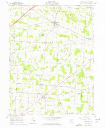
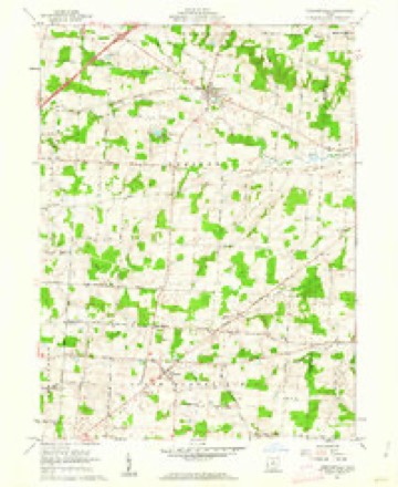
9 topographic sheets cover this place, the earliest surveyed in 1915 and the latest in 1966. It stands in Wayne Township. It lies in ZIP code area 43019. The Survey maps it on the Chesterville quadrangle.
Then and now
1915 to 1966The same ground, surveyed 51 years apart. Drag the handle to wipe between them. Both sheets are United States Geological Survey originals; neither has been altered.
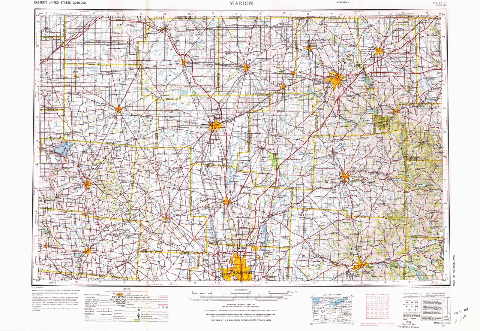
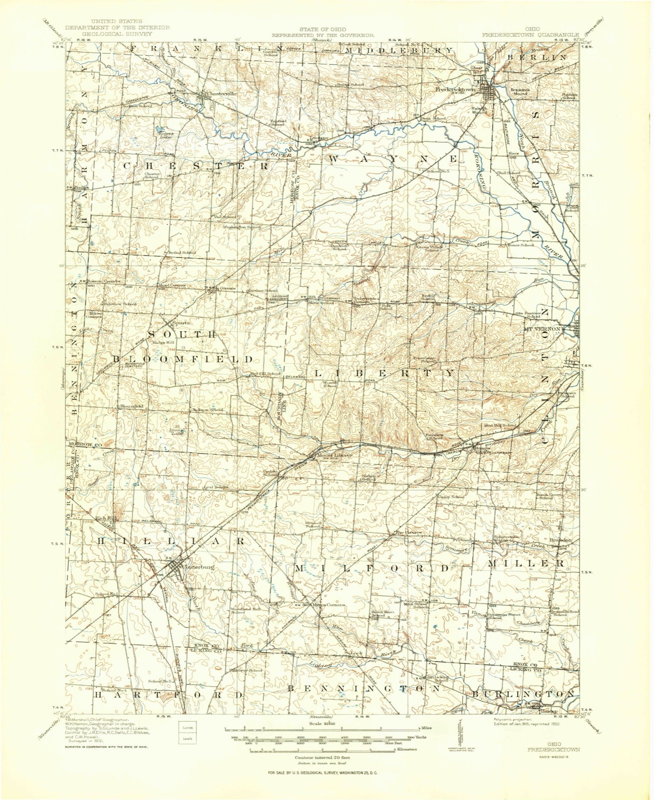
Topographic sheets covering this place
9 sheetsMatched by testing this settlement's coordinate against the published boundary of every sheet in the United States Geological Survey's historical collection. Each opens the scanned sheet at the Survey.
- 1915 USGS Fredericktown quadrangle1:62500
- 1943 USGS Fredericktown quadrangle1:62500
- 1950 USGS Marion quadrangle1:250000
- 1961 USGS Chesterville quadrangle1:24000
- 1961 USGS Chesterville quadrangle1:24000
- 1962 USGS Marion quadrangle1:250000
- 1966 USGS Marion quadrangle1:250000
- 1966 USGS Marion quadrangle1:250000
- 1966 USGS Marion quadrangle1:250000





In the county-history sources
338,832 words on this townshipHistory of Knox County, Ohio, Its Past and Present, Containing a Condensed, Comprehensive History of Ohio, Including an Outline History of the Northwest; a Complete History of Knox County ... a Record of Its Soldiers in the Late War; Portraits of Its Early Settlers and Prominent Men ... Biographies and Histories of Pioneer Families, Etc, published 1881 names this settlement in its chapter on Wayne Township. These are the passages that mention it, exactly as the scans read.
It is not unlikely that many other works of this mysterious people existed in this vicinity, but all have disappeared, except those mentioned. What could be expected to survive the ravages of a thou sand years or more? The wonder is that any trace of this people remain.
It was probably within the limits of this township that the Indian horse-theives were killed, by Hughes and Ratliff from the Licking valley, in Licking county. They were overtaken and killed in the bottom, just south of Fredericktown - probably on the south branch of Owl creek. The facts are that in 1801, a party of Indians stole some horses from a little enclosure near the cabins of Elias Hughes and John Ratliff, who, in 1798, had located on the Bowling green about four miles below the present city of Newark, on Licking river. Hughes and Ratliff were the first settlers of Licking county, were related, the latter being a nephew of the former, and lived near each other with their families on a beautiful natural prairie. At the time the horses were stolen, a Mr. Bland, who lived further down, at the mouth of the Licking, was a visitor at Hughes' cabin, and his horse was among the number stolen. In the morning, finding the horses gone, these three men started in pursuit, following the trail of the savages, gaining rapidly upon them, and overtaking them on Owl creek, at the place mentioned. They came upon their camp at daybreak in the morning, shot the Indians, recovered their horses, and returned unmolested to their cabins on the Licking. It is said that Bland and Rat- liff relented when they saw they had the Indians in their power, and were in favor of taking the horses and letting the Indian thieves go; but Elias Hughes was not that kind of a man ; he was an old Indian fighter and hater, and he expressed his views in such emphatic language that the others gave up to his way of thinking and the Indians were killed.
Mr. and Mrs. Oilman Bryant lived to celebrate their golden wedding, which proved to be a rare and interesting occasion. It was celebrated in Mt. Vernon, at the residence of theii sonin-law, Mr. James W. Miller, March 2, 1859. The following, as taken from the published account of the affair at that time, will be interesting to their descendants and friends;
Machine-read from a century-old scan, so expect the errors a machine makes: misspelled names, dropped words, stray characters.
Read the whole chapter on Wayne Township - it names this place 1 more 1 time.
Specimens collected near this place
12 of 468 shownRegional context, not property-specific evidence. Museums hold 468 specimens collected within 10 miles of Lucerne between 1835 and 1974: 417 Animalia, 42 Fungi, 8 Plantae, 1 Protozoa. 12 distinct Species records are shown. Collected by A. Hall, A. P. Morgan, Adler, K. K. and others. Each is a physical object with a catalogue number, and each entry opens the museum's record. This is what was collected and kept, not a survey of what lives here - nothing can be concluded from a species being absent.
| Image | Species | Year | Collected by | Where, as recorded |
|---|---|---|---|---|
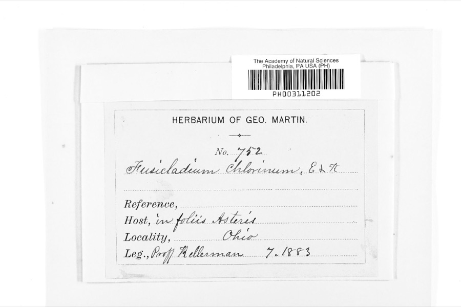 | Fusicladium Bonord. | 1883 | W. A. Kellermann | |
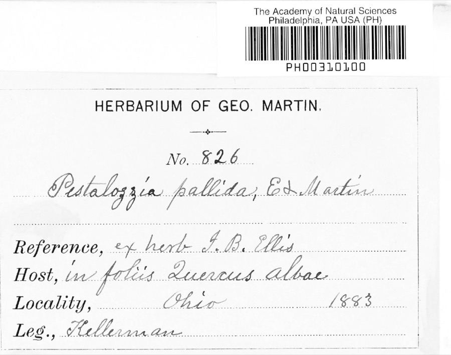 | Pestalotia De Not., 1841 | 1883 | W. A. Kellermann | No locality on label |
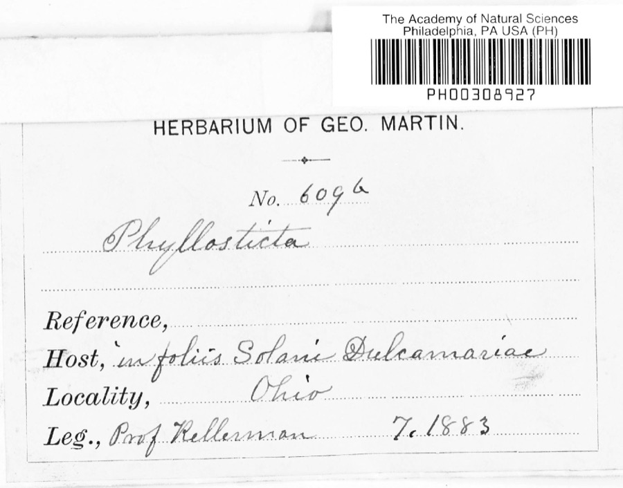 | Phyllosticta Pers., 1818 | 1883 | Kellerman | |
 | Polystichum acrostichoides (Michx.) Schott | 1835 | Joseph C. Frank | Ohio, s.loc. |
 | Notophthalmus viridescens (Rafinesque, 1820) | 1837 | Müller | Ohio |
 | Pooecetes gramineus (J.F.Gmelin, 1789) | 1863 | Turati (comte), Ercole | |
 | Delphinium exaltatum Aiton | 1877 | E Sheets | |
 | Hydrastis canadensis L. | 1877 | E Sheets | |
 | Sturnella magna magna (Linnaeus, 1758) | 1877 | not recorded | unspecified |
 | Accipiter striatus velox (A.Wilson, 1812) | 1879 | Willard L. Maris | |
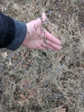 | Lobelia inflata L. | 1881 | Andriessen, H. | near Fredericktown, OH |
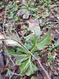 | Ascochyta Lib., 1830 | 1883 | Kellerman |
All 468 specimens within 10 miles, at the Global Biodiversity Information Facility.
Mines and quarries near this place
3 within 5 milesRegional context, not property-specific evidence. The federal mineral resources record lists 3 workings within 5 miles of Lucerne: 3 producers. All of them still produce. What was taken out: Sand and Gravel, Construction. Distance is straight-line from the map coordinates, so a quarry counted here may appear on a neighbouring settlement's page as well.
| Where | Site | Commodity | Status | Recorded |
|---|---|---|---|---|
| Chesterville Pit | Sand and Gravel, Construction | Producer | Sedimentary | |
| Chesterville Pit | Sand and Gravel, Construction | Producer | ||
| Fredericktown Pit | Sand and Gravel, Construction | Producer |
Nearest settlements
The eight closest, with where each one stands in the county. Distances are straight-line, computed from the Geographic Names Information System coordinates.
| Map | Place | Distance | Sheets |
|---|---|---|---|
| Dorema | 3.0 miles | 11 | |
| Green Valley | 3.7 miles | 11 | |
| Dalrymple Corners | 4.3 miles | 11 | |
| Batemantown | 4.7 miles | 12 | |
| Fredericktown | 4.8 miles | 11 | |
| Knox | 5.3 miles | 11 | |
| Waterford | 5.6 miles | 12 | |
| Lake View | 6.0 miles | 11 |
Elsewhere
Matched on this settlement's Geographic Names Information System number rather than its name, so it cannot be a different place of the same name in another state.
| Wikipedia article on Lucerne | An encyclopaedic summary. Its text is share-alike, so it is linked here rather than copied. |
| Wikidata item Q20657985 | The structured record the population and elevation above come from. Public domain (CC0). |
Provenance
This settlement is recorded in the Geographic Names Information System as feature 1061450. The sheet list is computed by point-in-boundary test against the United States Geological Survey's historical topographic inventory. Both are works of the United States government and carry no copyright under 17 U.S.C. 105.
Specimens. Global Biodiversity Information Facility (GBIF), https://www.gbif.org/. Only records licensed CC0 or CC BY are used. Records licensed CC BY-NC are excluded because this site carries advertising. Images are checked individually and any whose licence is non-commercial, no-derivatives or unreadable is refused.
Mines and quarries. USGS Mineral Resources Data System (MRDS) https://mrdata.usgs.gov/mrds/ A work of the United States government, no copyright under 17 U.S.C. 105.