 Block
Block
Hayward, Ohio
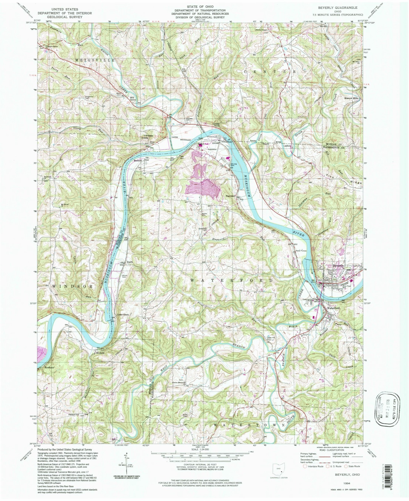
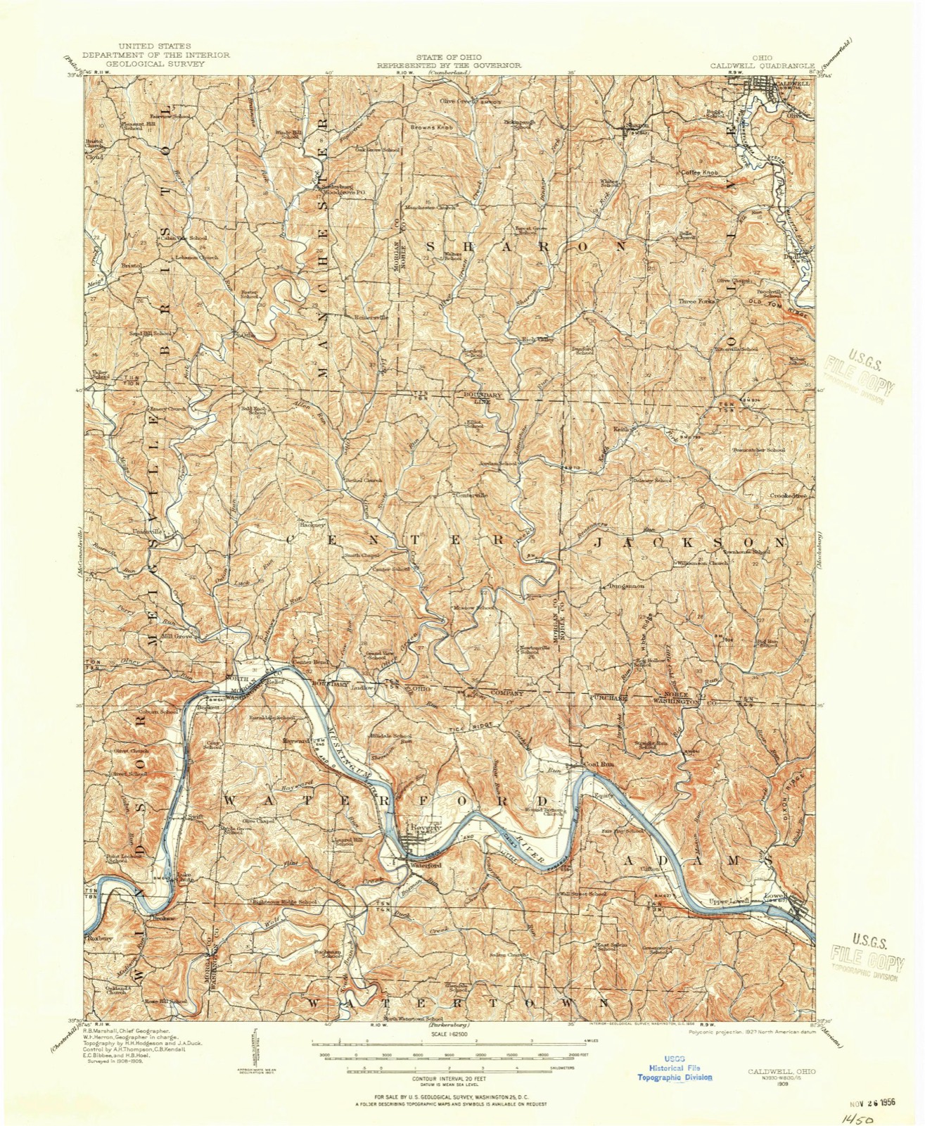
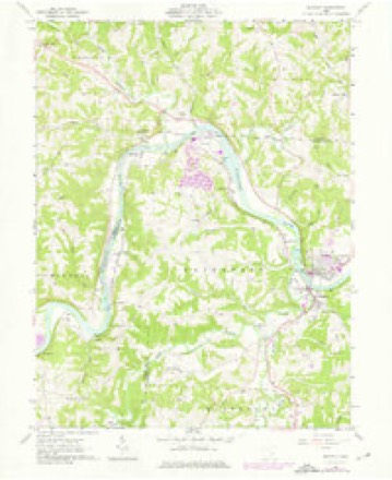
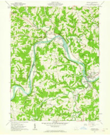
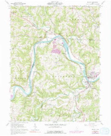
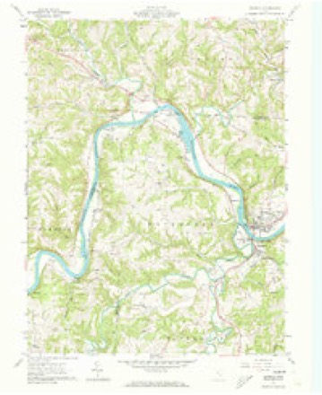
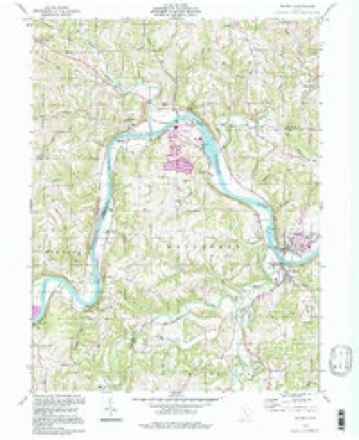
14 topographic sheets cover this place, the earliest surveyed in 1909 and the latest in 1994. It stands in Waterford Township. It lies in ZIP code area 45786. It stands on Sherman Run. The Survey maps it on the Beverly quadrangle.
Then and now
1909 to 1994The same ground, surveyed 85 years apart. Drag the handle to wipe between them. Both sheets are United States Geological Survey originals; neither has been altered.
Compare 1909 against another survey:
Topographic sheets covering this place
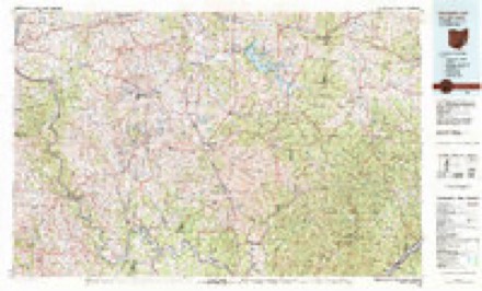
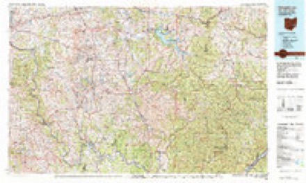
14 sheetsMatched by testing this settlement's coordinate against the published boundary of every sheet in the United States Geological Survey's historical collection. Each opens the scanned sheet at the Survey.
- 1909 USGS Caldwell quadrangle1:62500
- 1912 USGS Caldwell quadrangle1:62500
- 1949 USGS Clarksburg quadrangle1:250000
- 1956 USGS Clarksburg quadrangle1:250000
- 1956 USGS Clarksburg quadrangle1:250000
- 1961 USGS Beverly quadrangle1:24000
- 1961 USGS Beverly quadrangle1:24000
- 1961 USGS Beverly quadrangle1:24000
- 1961 USGS Beverly quadrangle1:24000
- 1961 USGS Clarksburg quadrangle1:250000
- 1980 USGS Senecaville quadrangle1:100000
- 1980 USGS Senecaville Lake quadrangle1:100000
- 1988 USGS Clarksburg quadrangle1:250000
- 1994 USGS Beverly quadrangle1:24000





In the county-history sources
41,950 words on this townshipHistory of Washington County, Ohio, published 1881 names this settlement in its chapter on Waterford Township. These are the passages that mention it, exactly as the scans read.
It appears from deeds and transfers that the greater part of the peninsula farms was at one time owned by Dr. Seth Baker. Jonathan Sprague, Thomas Featherston, and Dr. Pardee, owned individual lots. Rotheus Hayward afterwards purchased the lower part and Joseph Chambers the upper part.
Passage source: History of Washington County, Ohio, published 1881.
Stephen Devol, jr., was born at Tiverton, Rhode Island, March 2, 1786. He came to Ohio with the family and was seventeen years old at time of the death of his father. His educational facilities were necessarily very limited, but he became inured to hard, patient labor, and until the beginning of the sickness which terminated his life, Mr. Devol rarely sought rest. He married for his first wife Betsy Gray, December 5, 1808. She was a daughter of Captain William Gray, of the Waterford garrison. Two children were the fruit of this marriage - Tillinghast, the oldest, born 1809, followed flat-boating and steamboating and acquired considerable money. He died at St. Louis. While Hiram, the second child, was yet a. babe, Mr. Devol was bereaved of both wife and child. April 10, 1811 was muster-day, and Mrs. Devol desired to cross the river to witness the drill of the militia company of which her husband was a member. While crossing, the skiff which was in charge of her little brother Willie Gray, became unmanageable and upset near the shore. Mrs. Devol and her child were drowned; her brother escaped by crawling to the shore on the bottom of the river, and she was born in Connecticut, June 23, 1795. By her first husband, Mathew Buell, she had three children - William, Louisa and Helen, the last of whom married James Sheldon, and resides in Zanesville. By this marriage Mr. Devol had five children, viz: Theodore, born February 28, 1820; Hiram, born February 7, 1824, died September 6, 1829; Emily (Hayward), born September 1827; Hiram F., born August 6, 1841; Betsy (McCaddon), born January 12, 1835, and Louisa (Shaw), December 29, 1836.
Passage source: History of Washington County, Ohio, published 1881.
Mr. and Mrs. Devol spent the last years of their life at the house of their daughter, Mrs. Hayward. They lived to see their children all comfortably situated in life, and the burdens of invalid old age were lightened by the sympathetic care of an affectionate daughter.
Passage source: History of Washington County, Ohio, published 1881.
Machine-read from a century-old scan, so expect the errors a machine makes: misspelled names, dropped words, stray characters.
Read the whole chapter on Waterford Township - it names this place 10 more 10 times.
Fires near this place
31 since 2012Regional context, not property-specific evidence. The federal wildfire occurrence database lists 31 fires within 5 miles of Hayward between 2012 and 2020, burning about 32 acres in total. None started naturally. None was recorded as arson. Distance is straight-line from the map coordinates, so a fire counted here may appear on a neighbouring settlement's page as well.
| Reported cause | Fires |
|---|---|
| Debris and open burning | 17 |
| Missing data/not specified/undetermined | 10 |
| Smoking | 2 |
| Power generation/transmission/distribution | 2 |
The most recent of them, most recent first, with the day each was reported and the service that recorded it.
| Date | Cause | Size | Reported by | Name on the report |
|---|---|---|---|---|
| 24 September 2016 | Missing data/not specified/undetermined | under an acre | Ohio Department of Natural Resources | 5588 |
| 23 September 2016 | Smoking | under an acre | Ohio Department of Natural Resources | 5587 |
| 5 June 2015 | Debris and open burning | under an acre | Ohio Department of Natural Resources | 1461 |
| 25 June 2016 | Smoking | under an acre | Ohio Department of Natural Resources | 5045 |
| 27 May 2018 | Power generation/transmission/distribution | 1.0 acres | Ohio Department of Natural Resources | 14245 |
| 27 April 2014 | Missing data/not specified/undetermined | 4.0 acres | Ohio Department of Natural Resources | not named |
| 24 April 2014 | Debris and open burning | 1.0 acres | Ohio Department of Natural Resources | not named |
| 22 April 2018 | Missing data/not specified/undetermined | 1.2 acres | Ohio Department of Natural Resources | 13508 |
Settlements close enough to share some of these fires:
Specimens collected near this place
12 of 668 shownRegional context, not property-specific evidence. Museums hold 668 specimens collected within 10 miles of Hayward between 1888 and 1974: 575 Animalia, 87 Plantae, 6 Fungi. 12 distinct Species records are shown. Collected by Adler, K. K., Albaugh, D. W. (Douglas W.), Albaugh, Douglas W and others. Each is a physical object with a catalogue number, and each entry opens the museum's record. This is what was collected and kept, not a survey of what lives here - nothing can be concluded from a species being absent.
| Image | Species | Year | Collected by | Where, as recorded |
|---|---|---|---|---|
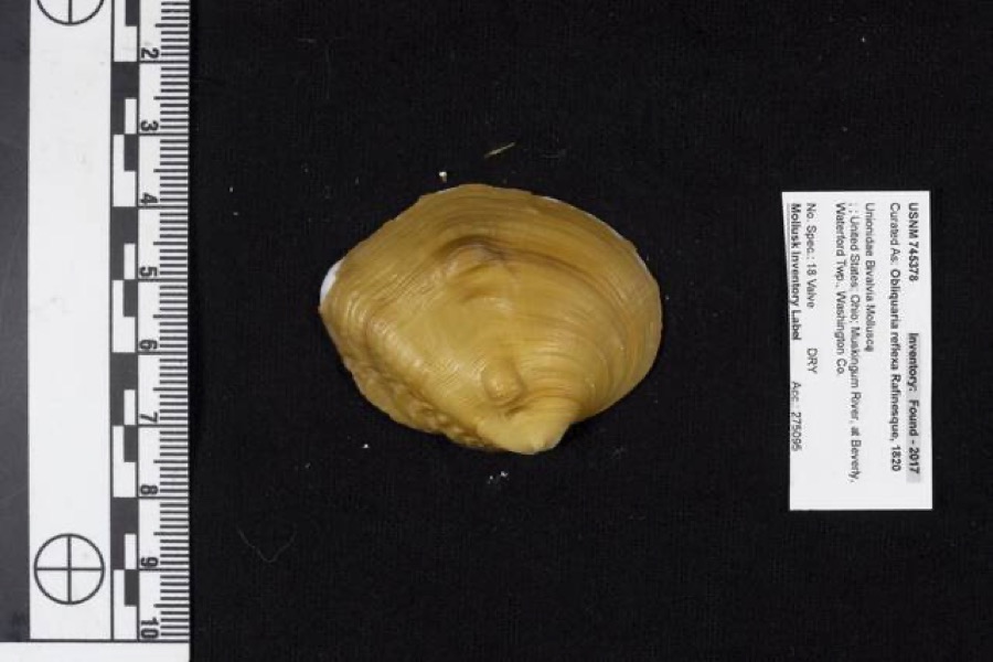 | Obliquaria reflexa Rafinesque, 1820 | 1962 | D. Stansbery | Waterford Township, Muskingum River, Beverly |
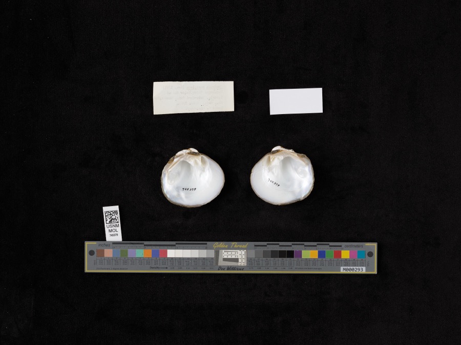 | Quadrula pustulosa (I.Lea, 1831) | 1962 | D. Stansbery | Muskingum River, Waterford, Below Dam At Beverly |
 | Ammocrypta pellucida (Putnam, 1863) | 1888 | C. Gilbert & J. Henshall | Beverly, Ohio, Muskingum River. |
.jpg) | Crystallaria cincotta Welsh & Wood, 2008 | 1888 | Gilbert, C. & Henshall, J. A. (James A.) | Muskingum River, dst Beverly dam RM 24.8, 0.6 miles west of Beverly OH, Waterford township |
 | Hypentelium nigricans (Lesueur, 1817) | 1888 | C. Gilbert & J. Henshall | Beverly, Ohio, Muskingum River. |
 | Notropis whipplei (Girard, 1856) | 1888 | C. Gilbert & J. Henshall | Beverly, Ohio |
 | Percopsis omiscomaycus (Walbaum, 1792) | 1888 | C. Gilbert & J. Henshall | Beverly, Ohio, Muskingum River. |
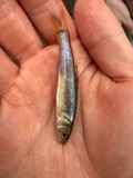 | Pimephales vigilax (Baird & Girard, 1853) | 1888 | C. Gilbert & J. Henshall | Beverly, Ohio, Muskingum River. |
 | Ammodramus savannarum pratensis (Vieillot, 1818) | 1904 | not recorded | Meigs Creek |
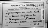 | Cylindrosporium padi P.Karst. | 1910 | W. T. Mitchell & Son | Beverly |
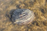 | Megalonaias nervosa (Rafinesque, 1820) | 1918 | Riggs, G P | Lowell Dam #3 |
 | Calla palustris L. | 1927 | G. Eifrig | Hayward |
All 668 specimens within 10 miles, at the Global Biodiversity Information Facility.
Mines and quarries near this place
1 within 5 milesRegional context, not property-specific evidence. The federal mineral resources record lists 1 working within 5 miles of Hayward: 1 past producer. None of them still produces. What was taken out: Thorium, REE, Iron, Chromium. Distance is straight-line from the map coordinates, so a quarry counted here may appear on a neighbouring settlement's page as well.
| Where | Site | Commodity | Status | Recorded |
|---|---|---|---|---|
| Interlake Inc/ Beverly, Ohio | Thorium, REE, Iron, Chromium | Past Producer |
Storms near this place
7 since 2008Regional context, not property-specific evidence. The National Weather Service names Hayward in 7 storm reports between 2008 and 2024: 5 flood, 1 thunderstorm wind, 1 hail. No death or injury is recorded in these reports. Each account below is quoted exactly as the forecast office filed it, from the NOAA Storm Events Database, and each date opens the federal record of that event.
| When | Event | Place named | Harm | What the report says |
|---|---|---|---|---|
| March 2008 | Flood | Hayward | $5,000 | no account filed |
| April 2018 | Flood | Hayward | $2,000 | The Muskingum River in Beverly flooded, causing minor flooding of low areas, farmland and several camps. The river rose above its 29 foot flood stage during the afternoon of the 3rd. It crested at just over 32 feet mid morning on the 4th, and returned to within its banks just after midnight on the 5th. |
| May 2022 | Flood | Hayward | $500 | The Muskingum River near the town of Beverly rose above its 29 foot flood stage during the late morning hours of May 7th. The river crested just after noon and returned to its banks before the evening time frame. Primarily low lying areas adjacent to the river were impacted by the flooding, but a few homes and camp sites were impacted by high water as well. |
| June 2022 | Thunderstorm Wind | Hayward | $250 | A tree fell down onto a local roadway outside of Hayward. |
| February 2018 | Flood | Hayward | - | The Muskingum River at Beverly rose above its flood stage of 29 feet early on the 22nd. It crested at 31.5 feet late that afternoon, and returned to within its banks pre-dawn on the 23rd. |
| February 2018 | Flood | Hayward | - | The Muskingum River at Beverly rose above its flood stage of 29 feet during the mid morning on the 25th. It crested at 29.2 feet around noon, and returned to within its banks late that afternoon. |
| April 2024 | Hail | Hayward | - | no account filed |
Nearest settlements
The eight closest, with where each one stands in the county. Distances are straight-line, computed from the Geographic Names Information System coordinates.
Provenance
This settlement is recorded in the Geographic Names Information System as feature 1062809. The sheet list is computed by point-in-boundary test against the United States Geological Survey's historical topographic inventory. Both are works of the United States government and carry no copyright under 17 U.S.C. 105.
Wildfire. Short, Karen C. 2022. Spatial wildfire occurrence data for the United States, 1992-2020 [FPA_FOD_20221014]. 6th Edition. Fort Collins, CO: Forest Service Research Data Archive. https://doi.org/10.2737/RDS-2013-0009.6 Collected with United States Government funding and usable without additional permissions or fees.
Specimens. Global Biodiversity Information Facility (GBIF), https://www.gbif.org/. Only records licensed CC0 or CC BY are used. Records licensed CC BY-NC are excluded because this site carries advertising. Images are checked individually and any whose licence is non-commercial, no-derivatives or unreadable is refused.
Mines and quarries. USGS Mineral Resources Data System (MRDS) https://mrdata.usgs.gov/mrds/ A work of the United States government, no copyright under 17 U.S.C. 105.
Storms. NOAA National Centers for Environmental Information, Storm Events Database https://www.ncei.noaa.gov/stormevents/ A work of the United States government, no copyright under 17 U.S.C. 105. Narratives are quoted verbatim from the National Weather Service report and are not edited or summarised.