 Block
Block
Coal Run, Ohio
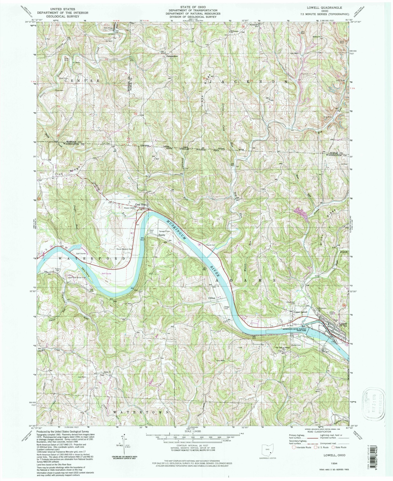
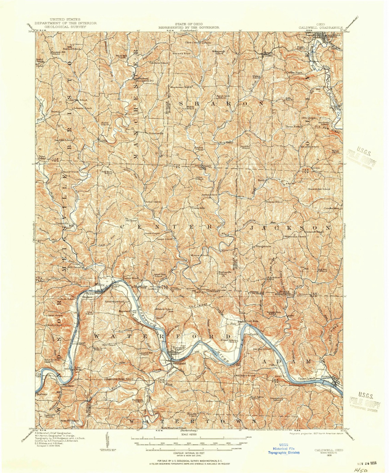
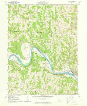
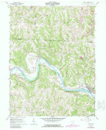
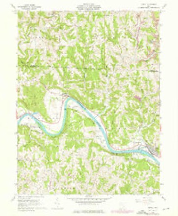
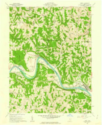
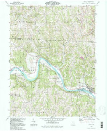
14 topographic sheets cover this place, the earliest surveyed in 1909 and the latest in 1994. It stands in Waterford Township. It lies in ZIP code area 45744. It stands on Cushing Run. The Survey maps it on the Lowell quadrangle. It stands 650 feet above sea level.
Then and now
1909 to 1994The same ground, surveyed 85 years apart. Drag the handle to wipe between them. Both sheets are United States Geological Survey originals; neither has been altered.
Compare 1909 against another survey:
Topographic sheets covering this place
14 sheetsMatched by testing this settlement's coordinate against the published boundary of every sheet in the United States Geological Survey's historical collection. Each opens the scanned sheet at the Survey.
- 1909 USGS Caldwell quadrangle1:62500
- 1912 USGS Caldwell quadrangle1:62500
- 1949 USGS Clarksburg quadrangle1:250000
- 1956 USGS Clarksburg quadrangle1:250000
- 1956 USGS Clarksburg quadrangle1:250000
- 1961 USGS Clarksburg quadrangle1:250000
- 1961 USGS Lowell quadrangle1:24000
- 1961 USGS Lowell quadrangle1:24000
- 1961 USGS Lowell quadrangle1:24000
- 1961 USGS Lowell quadrangle1:24000
- 1980 USGS Senecaville quadrangle1:100000
- 1980 USGS Senecaville Lake quadrangle1:100000
- 1988 USGS Clarksburg quadrangle1:250000
- 1994 USGS Lowell quadrangle1:24000





In the county-history sources
41,950 words on this townshipHistory of Washington County, Ohio, published 1881 names this settlement in its chapter on Waterford Township. These are the passages that mention it, exactly as the scans read.
At the lower end of Round Bottom is situated the thriving little village of Coal Run. It sprang into existence upon the completion of the Muskingum improvements, and until the building of the Duck Creek railroad was one of the best shipping points on the river. The produce of the eastern part of Morgan and southern part of Noble was marketed here. This trade made a village which coal mines continue to support.
Passage source: History of Washington County, Ohio, published 1881.
The geology of the region around Coal Run may be worthy of attention. The upper rock stratum is heavy white sand, selected portions of which would be fine enough for glass making. Other portions might be profitably used for hearthstones for furnaces. There isa seam of coal lying under this sandrock, but it is too thin for profitable mining. There is also a stratum of limestone which is of proper quality for making excellent cement.
Passage source: History of Washington County, Ohio, published 1881.
In 1852 the growing village felt the need of a church; money was raised by subscription among all classes of citizens, anda neat frame house, called the Union church, was built. It was intended for the use of all denominations, but the church-going people were nearly all Disciples and Methodists, so that its use was confined to those two denominations. " The old adage "that two families cannot live in the same house" is, perhaps, also true of churches. In 1858 the Methodist congregation, which, through the labors of Rev. George Willis, had perfected its organization the year previous, decided to build a house for its own use. The Methodist congregation has had the services of a regular pastor since the date of organization. A list of ministers will be found in connection with the Beverly church, with which Coal Run has been connected since 1858. The most prominent of the first members were Silas Thurlow and wife, John Flag, Martha Thurlow, Elijah Sprague, Lewis Pyle, Thomas Hilton and wife, Ann P. Wilson, Mrs. Henry, Erastus Eddy and wife, and John Sprague and wife.
Passage source: History of Washington County, Ohio, published 1881.
Machine-read from a century-old scan, so expect the errors a machine makes: misspelled names, dropped words, stray characters.
Read the whole chapter on Waterford Township - it names this place 8 more 8 times.
Fires near this place
22 since 2008Regional context, not property-specific evidence. The federal wildfire occurrence database lists 22 fires within 5 miles of Coal Run between 2008 and 2020, burning about 78 acres in total. None started naturally. None was recorded as arson. Distance is straight-line from the map coordinates, so a fire counted here may appear on a neighbouring settlement's page as well.
| Reported cause | Fires |
|---|---|
| Debris and open burning | 11 |
| Missing data/not specified/undetermined | 8 |
| Power generation/transmission/distribution | 2 |
| Equipment and vehicle use | 1 |
The most recent of them, most recent first, with the day each was reported and the service that recorded it.
| Date | Cause | Size | Reported by | Name on the report |
|---|---|---|---|---|
| 7 May 2015 | Power generation/transmission/distribution | under an acre | Ohio Department of Natural Resources | 1210 |
| 7 April 2010 | Missing data/not specified/undetermined | 2.0 acres | Ohio Department of Natural Resources | not named |
| 27 April 2014 | Missing data/not specified/undetermined | 4.0 acres | Ohio Department of Natural Resources | not named |
| 22 April 2018 | Missing data/not specified/undetermined | 1.2 acres | Ohio Department of Natural Resources | 13508 |
| 9 March 2020 | Missing data/not specified/undetermined | 2.5 acres | Ohio Department of Natural Resources | 15464 |
| 9 March 2020 | Missing data/not specified/undetermined | 1.0 acres | Ohio Department of Natural Resources | 15465 |
| 9 March 2013 | Debris and open burning | under an acre | Ohio Department of Natural Resources | not named |
| 31 March 2015 | Debris and open burning | 1.0 acres | Ohio Department of Natural Resources | 626 |
Settlements close enough to share some of these fires:
Specimens collected near this place
12 of 707 shownRegional context, not property-specific evidence. Museums hold 707 specimens collected within 10 miles of Coal Run between 1884 and 1974: 627 Animalia, 74 Plantae, 6 Fungi. 12 distinct Species records are shown. Collected by A. D. Selby, Adams, N.; Adams, S., Albaugh, D. W. (Douglas W.) and others. Each is a physical object with a catalogue number, and each entry opens the museum's record. This is what was collected and kept, not a survey of what lives here - nothing can be concluded from a species being absent.
| Image | Species | Year | Collected by | Where, as recorded |
|---|---|---|---|---|
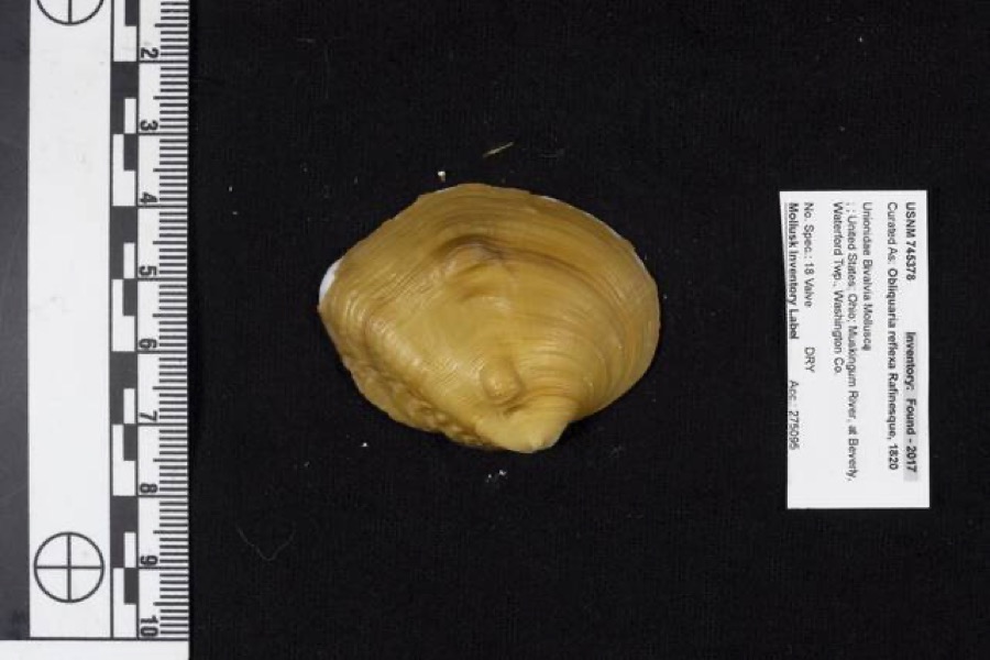 | Obliquaria reflexa Rafinesque, 1820 | 1962 | D. Stansbery | Waterford Township, Muskingum River, Beverly |
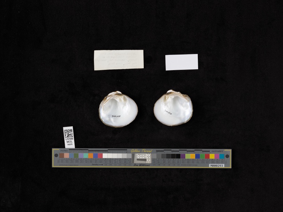 | Quadrula pustulosa (I.Lea, 1831) | 1962 | D. Stansbery | Muskingum River, Waterford, Below Dam At Beverly |
 | Trillium sessile L. | 1884 | None | Macksburg |
 | Ammocrypta pellucida (Putnam, 1863) | 1888 | C. Gilbert & J. Henshall | Beverly, Ohio, Muskingum River. |
.jpg) | Crystallaria cincotta Welsh & Wood, 2008 | 1888 | Gilbert, C. & Henshall, J. A. (James A.) | Muskingum River, dst Beverly dam RM 24.8, 0.6 miles west of Beverly OH, Waterford township |
 | Hypentelium nigricans (Lesueur, 1817) | 1888 | C. Gilbert & J. Henshall | Beverly, Ohio, Muskingum River. |
 | Notropis whipplei (Girard, 1856) | 1888 | C. Gilbert & J. Henshall | Beverly, Ohio |
 | Percopsis omiscomaycus (Walbaum, 1792) | 1888 | C. Gilbert & J. Henshall | Beverly, Ohio, Muskingum River. |
 | Pimephales vigilax (Baird & Girard, 1853) | 1888 | C. Gilbert & J. Henshall | Beverly, Ohio, Muskingum River. |
 | Eragrostis hypnoides (Lam.) Britton, Sterns & Poggenb. | 1896 | A. D. Selby | Rainbow. |
 | Ammodramus savannarum pratensis (Vieillot, 1818) | 1904 | not recorded | Meigs Creek |
 | Calla palustris L. | 1927 | G. Eifrig | Hayward |
All 707 specimens within 10 miles, at the Global Biodiversity Information Facility.
Mines and quarries near this place
2 within 5 milesRegional context, not property-specific evidence. The federal mineral resources record lists 2 workings within 5 miles of Coal Run: 1 past producer, 1 producer. 1 still produces. What was taken out: Thorium, REE, Iron, Chromium, Stone, Crushed/Broken. Distance is straight-line from the map coordinates, so a quarry counted here may appear on a neighbouring settlement's page as well.
| Where | Site | Commodity | Status | Recorded |
|---|---|---|---|---|
| Guernsey Limestone Quarry | Stone, Crushed/Broken | Producer | ||
| Interlake Inc/ Beverly, Ohio | Thorium, REE, Iron, Chromium | Past Producer |
Nearest settlements
The eight closest, with where each one stands in the county. Distances are straight-line, computed from the Geographic Names Information System coordinates.
Elsewhere
Matched on this settlement's Geographic Names Information System number rather than its name, so it cannot be a different place of the same name in another state.
| Wikipedia article on Coal Run | An encyclopaedic summary. Its text is share-alike, so it is linked here rather than copied. |
| Wikidata item Q5137782 | The structured record the population and elevation above come from. Public domain (CC0). |
Provenance
This settlement is recorded in the Geographic Names Information System as feature 1060980. The sheet list is computed by point-in-boundary test against the United States Geological Survey's historical topographic inventory. Both are works of the United States government and carry no copyright under 17 U.S.C. 105.
Wildfire. Short, Karen C. 2022. Spatial wildfire occurrence data for the United States, 1992-2020 [FPA_FOD_20221014]. 6th Edition. Fort Collins, CO: Forest Service Research Data Archive. https://doi.org/10.2737/RDS-2013-0009.6 Collected with United States Government funding and usable without additional permissions or fees.
Specimens. Global Biodiversity Information Facility (GBIF), https://www.gbif.org/. Only records licensed CC0 or CC BY are used. Records licensed CC BY-NC are excluded because this site carries advertising. Images are checked individually and any whose licence is non-commercial, no-derivatives or unreadable is refused.
Mines and quarries. USGS Mineral Resources Data System (MRDS) https://mrdata.usgs.gov/mrds/ A work of the United States government, no copyright under 17 U.S.C. 105.