 Block
Block
Waterford, Ohio
14 topographic sheets cover this place, the earliest surveyed in 1909 and the latest in 1994. It stands in Waterford Township. It lies in ZIP code area 45786. It stands on Boseman Run. The Survey maps it on the Beverly quadrangle. 384 people lived here at the 2020 count. It stands 650 feet above sea level.
Population over time
2 figuresWaterford fell from 450 to 384 between 2010 and 2020. These are the recorded population figures Wikidata holds for this place, reached through the Geographic Names Information System number this page is keyed on rather than by name, so they belong to this place and not to another of the same name. Most are census counts, but not all are: an early figure may be a founding or settlement estimate. The change column is computed, and is left blank where more than 20 years separate a figure from the one before it, because a gap that long is not a change between two counts.
| Year | People | Change |
|---|---|---|
| 2010 | 450 | |
| 2020 | 384 | -66 (-15%) |
Then and now
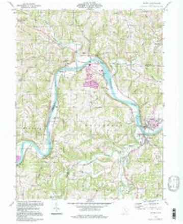
1909 to 1994The same ground, surveyed 85 years apart. Drag the handle to wipe between them. Both sheets are United States Geological Survey originals; neither has been altered.
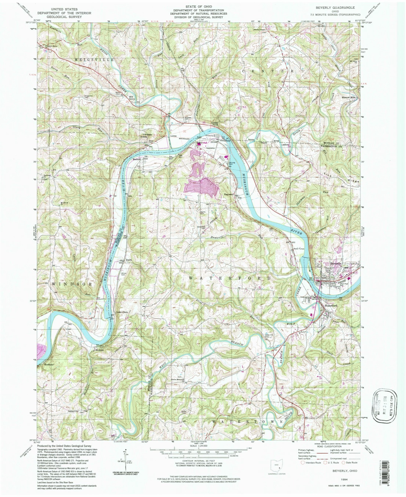
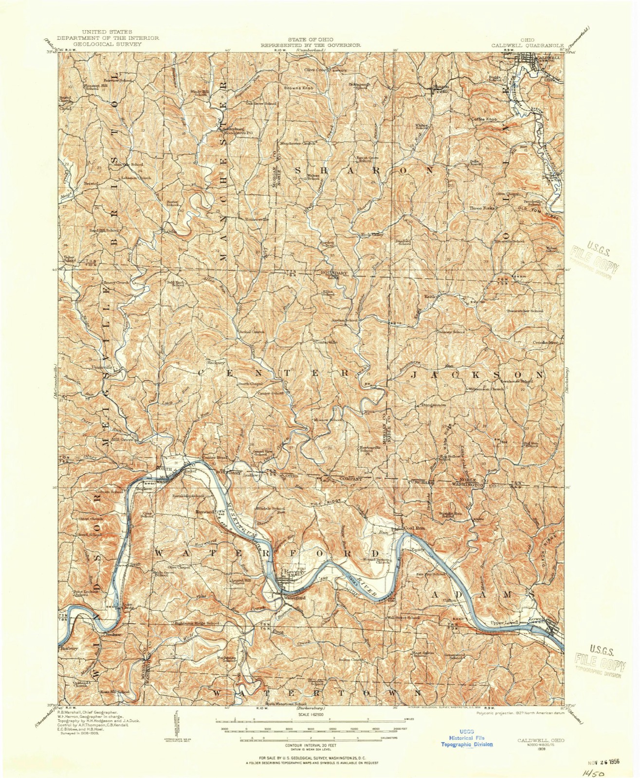
Compare 1909 against another survey:
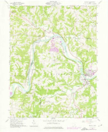
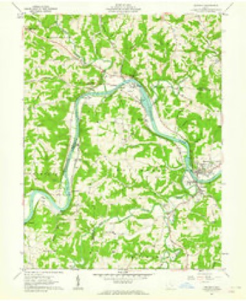
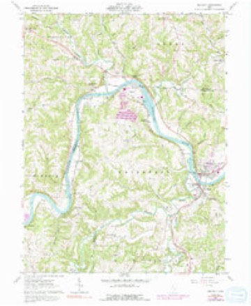
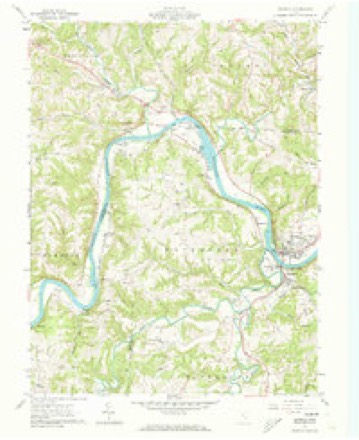
Topographic sheets covering this place
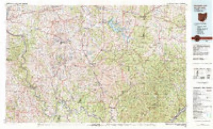
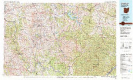
14 sheetsMatched by testing this settlement's coordinate against the published boundary of every sheet in the United States Geological Survey's historical collection. Each opens the scanned sheet at the Survey.
- 1909 USGS Caldwell quadrangle1:62500
- 1912 USGS Caldwell quadrangle1:62500
- 1949 USGS Clarksburg quadrangle1:250000
- 1956 USGS Clarksburg quadrangle1:250000
- 1956 USGS Clarksburg quadrangle1:250000
- 1961 USGS Beverly quadrangle1:24000
- 1961 USGS Beverly quadrangle1:24000
- 1961 USGS Beverly quadrangle1:24000
- 1961 USGS Beverly quadrangle1:24000
- 1961 USGS Clarksburg quadrangle1:250000
- 1980 USGS Senecaville quadrangle1:100000
- 1980 USGS Senecaville Lake quadrangle1:100000
- 1988 USGS Clarksburg quadrangle1:250000
- 1994 USGS Beverly quadrangle1:24000





In the county-history sources
41,950 words on this townshipHistory of Washington County, Ohio, published 1881 names this settlement in its chapter on Waterford Township. These are the passages that mention it, exactly as the scans read.
The scene which on the following morning was presented to these adventurous pioneers furnishes food for the imagination. The alluvial bottom, both up and down the river, was heavily timbered with sugar, oak, and beech, and with a thick undergrowth of sapplings. About eighty rods back lay an extensive plain, which had at one time probably been an Indian clearing. Annual fires had prevented the growth of timber, and the whole area, about one mile long and half a mile wide, was covered with a matting of briers and underbrush. The forest on the fertile bottom on the opposite side of the river was unbroken. The bold cliff farthur up, beyond the bend, towered above the tall trees intervening. The settlers industriously plied their axes, and in a few days each family was living in a comfortable log cabin, and within a month each had cleared and fenced a small lot for a garden. Early in May another party came up from Marietta, and the settlement then consisted of the following families and single men: Those with families were Gilbert Devol, William Gray, William Sprague, Jonathan Sprague, Major John White, Noah Fearing, Major Coburn, Joshua Sprague, Henry Maxon, Andrew Story, Benjamin Beadle, Allen Devol, David Wilson, William Wilson, Wanton Devol, and Nathan Kinny. The single men were Asa Coburn, Nicholas Coburn, Phineas Coburn, Andrew Webster, Jonathan Devol, Samuel Cushing, Wilbur Sprague, Daniel Convers, Joseph Kitchen, and Andrew McClure.
Passage source: History of Washington County, Ohio, published 1881.
The whole area of Waterford township lies within the tract donated by the Ohio company to encourage settlement, as has previously been explained in the general history of the county. But the presence of Indians of uncertain disposition, made it necessary that the settlement should be compact, so that the inhabitants might be able to give each other assistance in case of danger. A tract beginning where the town of Beverly now stands and extending about two miles down the river, was laid out in ten and fifteen acre lots. These lots were drawn by holders of titles to full lots lying further back.
Passage source: History of Washington County, Ohio, published 1881.
After providing plans of residence, the first work which engaged the attention of the associates, was prepairing for the spring crop. It was a fortunate circumstance, not only for the Waterford settlers, but also for those of Marietta and Belpre, that the plain was, already cleared. Ona dry day in May, while a strong wind was blowing, fire 'was applied to the accumulated covering of leaves and decaying logs, and in a few hours the surface was ready for the planters' hoe. About. eighty acres were planted in corn which grew rapidly in the mellow mold, and, aided by a favorable season, ripened early, thus escaping the destructive frost early in October, which threatened famine in Marietta and Belpre. Those settlements received considerable assistance during the following year from Waterford, where about three thousand bushels of sound corn was produced. The Waterford associates were saved at least one month's labor by the happy circumstance of this plain being already cleared. The soil having long been exposed to the sun, was warm and ready to receive the crop, and there were no trunks of deadened trees to retard its growth. The first block-house was built early in the summer of 1789 on the east side of the river. This was done in obedience to an order from General Putnam, notifying them of the murder of Captain King, of Belpre. <A military company was organized, with William Gray captain, David Wilson sergeant and Andrew Webster corporal. Although the associates took these precautions and prepared themselves for an emergency, they had little fear of danger. Indians frequently visited them and traded with them, and Allen Devol says in his written statement, all worked at clearing, sowing and planting, without much fear, until the news of the massacre of Big Bottom.
Passage source: History of Washington County, Ohio, published 1881.
Machine-read from a century-old scan, so expect the errors a machine makes: misspelled names, dropped words, stray characters.
Read the whole chapter on Waterford Township - it names this place 93 more 93 times.
Fires near this place
33 since 2010Regional context, not property-specific evidence. The federal wildfire occurrence database lists 33 fires within 5 miles of Waterford between 2010 and 2020, burning about 43 acres in total. None started naturally. None was recorded as arson. Distance is straight-line from the map coordinates, so a fire counted here may appear on a neighbouring settlement's page as well.
| Reported cause | Fires |
|---|---|
| Debris and open burning | 20 |
| Missing data/not specified/undetermined | 9 |
| Smoking | 2 |
| Equipment and vehicle use | 1 |
| Power generation/transmission/distribution | 1 |
The most recent of them, most recent first, with the day each was reported and the service that recorded it.
| Date | Cause | Size | Reported by | Name on the report |
|---|---|---|---|---|
| 24 September 2016 | Missing data/not specified/undetermined | under an acre | Ohio Department of Natural Resources | 5588 |
| 23 September 2016 | Smoking | under an acre | Ohio Department of Natural Resources | 5587 |
| 5 June 2015 | Debris and open burning | under an acre | Ohio Department of Natural Resources | 1461 |
| 25 June 2016 | Smoking | under an acre | Ohio Department of Natural Resources | 5045 |
| 7 April 2019 | Debris and open burning | under an acre | Ohio Department of Natural Resources | 15177 |
| 7 April 2010 | Missing data/not specified/undetermined | 2.0 acres | Ohio Department of Natural Resources | not named |
| 27 April 2014 | Missing data/not specified/undetermined | 4.0 acres | Ohio Department of Natural Resources | not named |
| 24 April 2014 | Debris and open burning | 1.0 acres | Ohio Department of Natural Resources | not named |
Settlements close enough to share some of these fires:
Specimens collected near this place
12 of 691 shownRegional context, not property-specific evidence. Museums hold 691 specimens collected within 10 miles of Waterford between 1888 and 1974: 628 Animalia, 58 Plantae, 5 Fungi. 12 distinct Species records are shown. Collected by A. D. Selby, Albaugh, D. W. (Douglas W.), Albaugh, Douglas W and others. Each is a physical object with a catalogue number, and each entry opens the museum's record. This is what was collected and kept, not a survey of what lives here - nothing can be concluded from a species being absent.
| Image | Species | Year | Collected by | Where, as recorded |
|---|---|---|---|---|
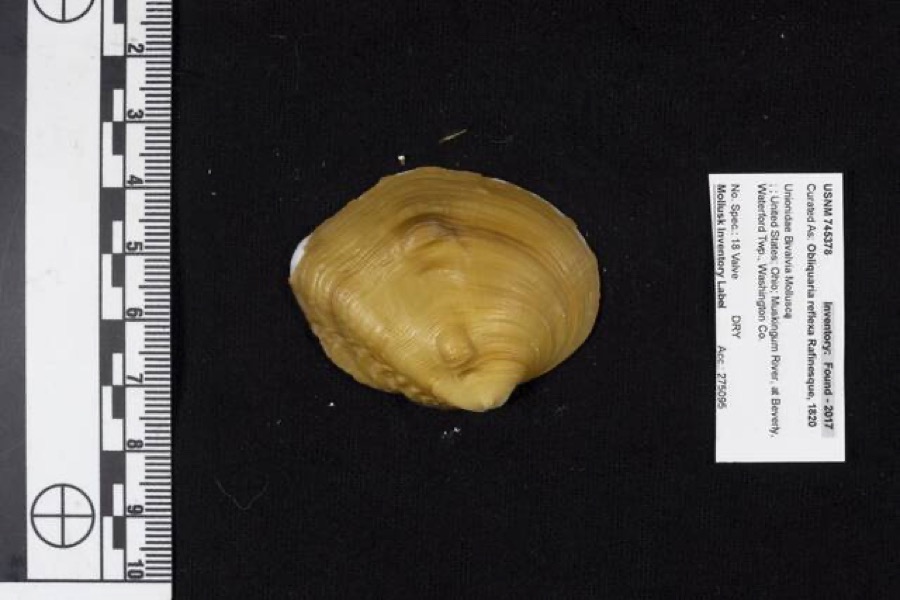 | Obliquaria reflexa Rafinesque, 1820 | 1962 | D. Stansbery | Waterford Township, Muskingum River, Beverly |
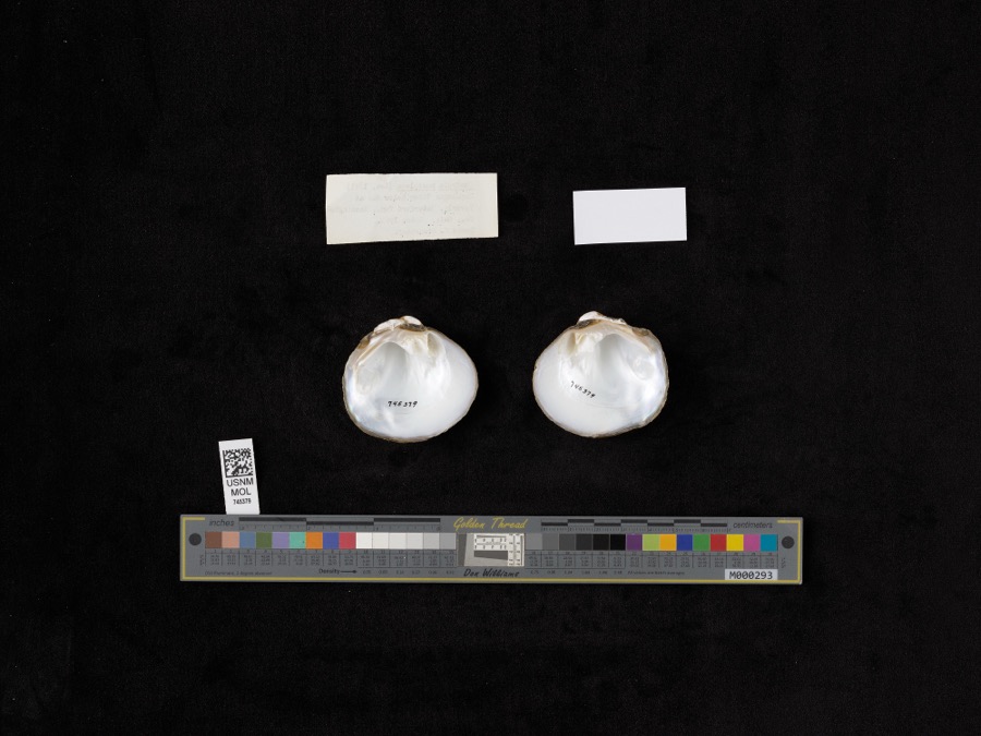 | Quadrula pustulosa (I.Lea, 1831) | 1962 | D. Stansbery | Muskingum River, Waterford, Below Dam At Beverly |
 | Ammocrypta pellucida (Putnam, 1863) | 1888 | C. Gilbert & J. Henshall | Beverly, Ohio, Muskingum River. |
.jpg) | Crystallaria cincotta Welsh & Wood, 2008 | 1888 | Gilbert, C. & Henshall, J. A. (James A.) | Muskingum River, dst Beverly dam RM 24.8, 0.6 miles west of Beverly OH, Waterford township |
 | Hypentelium nigricans (Lesueur, 1817) | 1888 | C. Gilbert & J. Henshall | Beverly, Ohio, Muskingum River. |
 | Notropis whipplei (Girard, 1856) | 1888 | C. Gilbert & J. Henshall | Beverly, Ohio |
 | Percopsis omiscomaycus (Walbaum, 1792) | 1888 | C. Gilbert & J. Henshall | Beverly, Ohio, Muskingum River. |
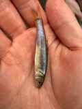 | Pimephales vigilax (Baird & Girard, 1853) | 1888 | C. Gilbert & J. Henshall | Beverly, Ohio, Muskingum River. |
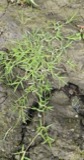 | Eragrostis hypnoides (Lam.) Britton, Sterns & Poggenb. | 1896 | A. D. Selby | Rainbow. |
 | Ammodramus savannarum pratensis (Vieillot, 1818) | 1904 | not recorded | Meigs Creek |
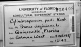 | Cylindrosporium padi P.Karst. | 1910 | W. T. Mitchell & Son | Beverly |
 | Calla palustris L. | 1927 | G. Eifrig | Hayward |
All 691 specimens within 10 miles, at the Global Biodiversity Information Facility.
Mines and quarries near this place
1 within 5 milesRegional context, not property-specific evidence. The federal mineral resources record lists 1 working within 5 miles of Waterford: 1 past producer. None of them still produces. What was taken out: Thorium, REE, Iron, Chromium. Distance is straight-line from the map coordinates, so a quarry counted here may appear on a neighbouring settlement's page as well.
| Where | Site | Commodity | Status | Recorded |
|---|---|---|---|---|
| Interlake Inc/ Beverly, Ohio | Thorium, REE, Iron, Chromium | Past Producer |
Storms near this place
13 since 2000Regional context, not property-specific evidence. The National Weather Service names Waterford in 13 storm reports between 2000 and 2024: 7 hail, 3 thunderstorm wind, 2 flood, 1 tornado. No death or injury is recorded in these reports. Each account below is quoted exactly as the forecast office filed it, from the NOAA Storm Events Database, and each date opens the federal record of that event.
| When | Event | Place named | Harm | What the report says |
|---|---|---|---|---|
| May 2000 | Tornado (F1) | Waterford | $150,000 | The tornado occurred on County Route 32 near the old power plant in Waterford. On its one mile trek, the tornado destroyed a barn, threw a piece of wood from the barn through the wall of a house and into its kitchen, and shifted several trailers, cottages, and outbuildings off their foundations. The storm deposited roofing debris on the other side of the Muskingum River, in the town of Beverly. |
| August 2009 | Hail | Waterford | $10,000 | no account filed |
| July 2011 | Thunderstorm Wind | Waterford | $5,000 | Several trees were blown down. |
| August 2021 | Thunderstorm Wind | Waterford | $3,000 | Multiple trees were blown down around the communities of Barlow and Lower Salem. |
| April 2024 | Flood | Waterford | - | South Branch of Wolf Creek exceeded its banks and caused flooding along several roads in the area. |
| February 2018 | Flood | Waterford | - | The Muskingum River at Beverly rose above its flood stage of 29 feet early on the morning of the 16th. It crested at 31.8 feet around 6 PM that evening, before returning to its banks mid morning on the 17th. |
| March 2024 | Hail | Waterford | - | no account filed |
| April 2024 | Hail | Waterford | - | no account filed |
| March 2012 | Hail | Waterford | - | no account filed |
| June 2009 | Hail | Waterford | - | no account filed |
| August 2009 | Hail | Waterford | - | no account filed |
| June 2005 | Thunderstorm Wind | Waterford | - | no account filed |
| April 2002 | Hail | Waterford | - | no account filed |
Nearest settlements
The eight closest, with where each one stands in the county. Distances are straight-line, computed from the Geographic Names Information System coordinates.
Elsewhere
Matched on this settlement's Geographic Names Information System number rather than its name, so it cannot be a different place of the same name in another state.
| Wikipedia article on Waterford | An encyclopaedic summary. Its text is share-alike, so it is linked here rather than copied. |
| Wikidata item Q3472378 | The structured record the population and elevation above come from. Public domain (CC0). |
Provenance
This settlement is recorded in the Geographic Names Information System as feature 1049295. The sheet list is computed by point-in-boundary test against the United States Geological Survey's historical topographic inventory. Both are works of the United States government and carry no copyright under 17 U.S.C. 105.
Wildfire. Short, Karen C. 2022. Spatial wildfire occurrence data for the United States, 1992-2020 [FPA_FOD_20221014]. 6th Edition. Fort Collins, CO: Forest Service Research Data Archive. https://doi.org/10.2737/RDS-2013-0009.6 Collected with United States Government funding and usable without additional permissions or fees.
Specimens. Global Biodiversity Information Facility (GBIF), https://www.gbif.org/. Only records licensed CC0 or CC BY are used. Records licensed CC BY-NC are excluded because this site carries advertising. Images are checked individually and any whose licence is non-commercial, no-derivatives or unreadable is refused.
Mines and quarries. USGS Mineral Resources Data System (MRDS) https://mrdata.usgs.gov/mrds/ A work of the United States government, no copyright under 17 U.S.C. 105.
Storms. NOAA National Centers for Environmental Information, Storm Events Database https://www.ncei.noaa.gov/stormevents/ A work of the United States government, no copyright under 17 U.S.C. 105. Narratives are quoted verbatim from the National Weather Service report and are not edited or summarised.