 Block
Block
Buena Vista, Ohio
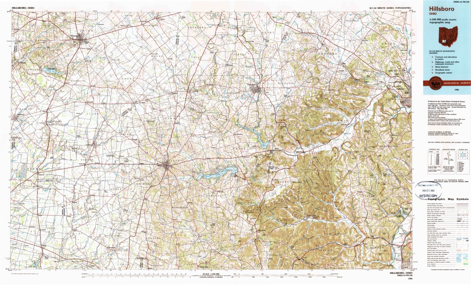
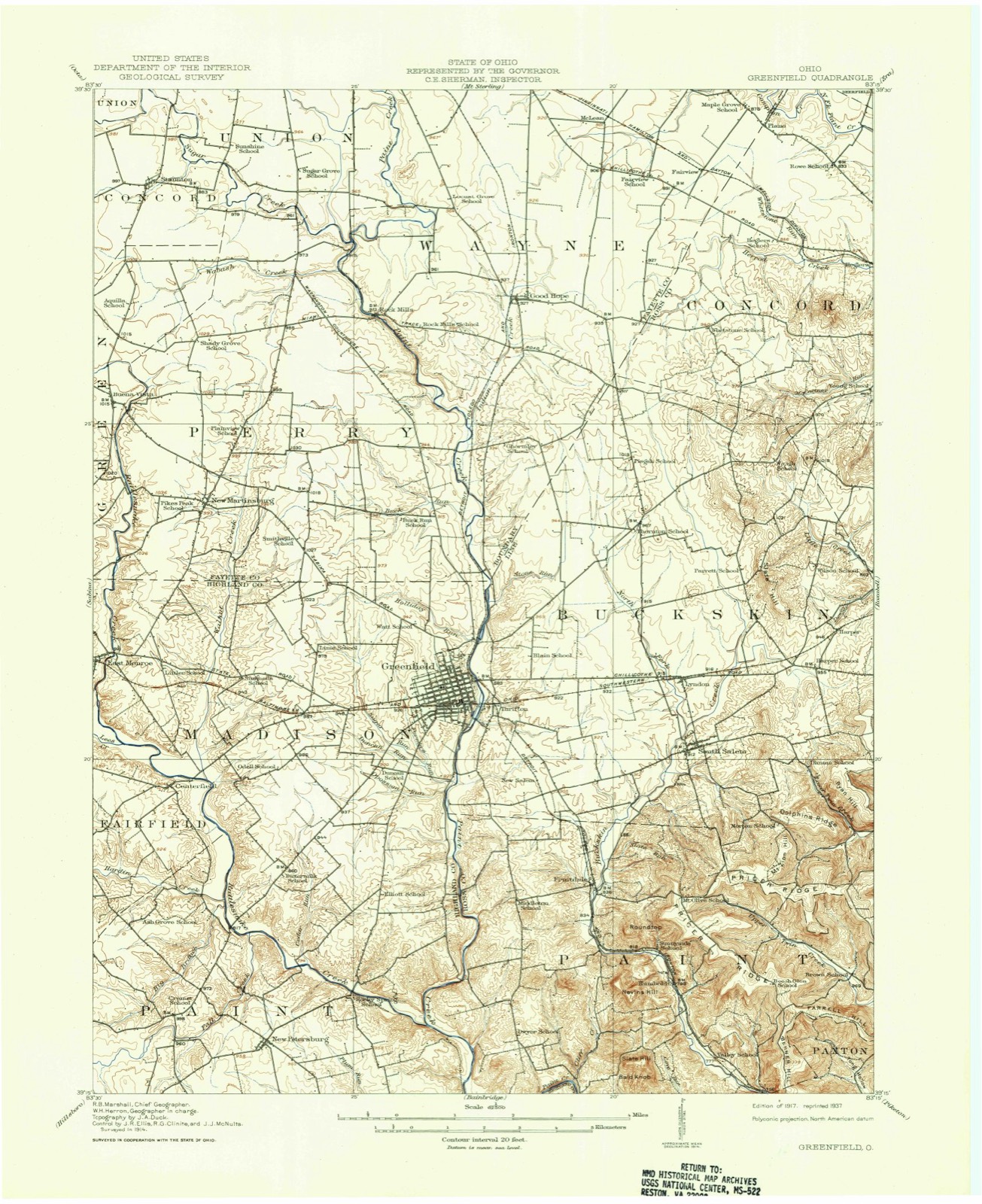
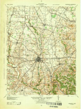
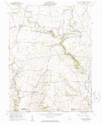
11 topographic sheets cover this place, the earliest surveyed in 1917 and the latest in 1986. It stands in Green Township. It lies in ZIP code area 43160. The Survey maps it on the New Martinsburg quadrangle. It stands 1,010 feet above sea level.
Then and now
1917 to 1986The same ground, surveyed 69 years apart. Drag the handle to wipe between them. Both sheets are United States Geological Survey originals; neither has been altered.
Topographic sheets covering this place
11 sheetsMatched by testing this settlement's coordinate against the published boundary of every sheet in the United States Geological Survey's historical collection. Each opens the scanned sheet at the Survey.
- 1917 USGS Greenfield quadrangle1:62500
- 1917 USGS Greenfield quadrangle1:62500
- 1944 USGS Greenfield quadrangle1:62500
- 1947 USGS Columbus quadrangle1:250000
- 1960 USGS New Martinsburg quadrangle1:24000
- 1961 USGS Columbus quadrangle1:250000
- 1962 USGS Columbus quadrangle1:250000
- 1967 USGS Columbus quadrangle1:250000
- 1967 USGS Columbus quadrangle1:250000
- 1986 USGS Hillsboro quadrangle1:100000
- 1986 USGS Hillsboro quadrangle1:100000





In the county-history sources
4,615 words on this townshipHistory of Fayette County, Ohio : Her People, Industries and Institutions, published 1914 names this settlement in its chapter on Green Township. These are the passages that mention it, exactly as the scans read.
Moons is the only village within the township. It was once known as Buena Vista and still earlier as "Goatsville," which happened on account of ?o many Dunkards residing there, that some wag said they reminded him.
Passage source: History of Fayette County, Ohio : Her People, Industries and Institutions, published 1914.
It was in 1832 when John \V. Simpson and Stephen Tudor came to this location to buy land. The former bought a lot of James Larkins, and the latter took other land. The main street was at that time a so-called township road, but the next year was changed to a state road. Simpson returned to Highland county and married, then came back, erected a small cabin, and removed thereto. This was evidently couple No. i to settle as man and wife in old Buena Vista, now known as Moons.
Passage source: History of Fayette County, Ohio : Her People, Industries and Institutions, published 1914.
Stephen Tudor, a carpenter, remained in the new settlement until 1835, then sold, William Moon finally getting the land he had lived upon. John Simpson opened the first store in Buena Vista and frequently refused to sell as many yards of calico as a lady asked for, on the theory that it never paid to be entirely out of any given article. Early dealers here were Bell & Jenkins, of ^Vashington, Isaac Tracy, Messrs. Moon, Vickers and Silas Iron.
Passage source: History of Fayette County, Ohio : Her People, Industries and Institutions, published 1914.
Machine-read from a century-old scan, so expect the errors a machine makes: misspelled names, dropped words, stray characters.
Read the whole chapter on Green Township - it names this place 1 more 1 time.
Specimens collected near this place
12 of 182 shownRegional context, not property-specific evidence. Museums hold 182 specimens collected within 10 miles of Buena Vista between 1901 and 1975: 176 Animalia, 3 Fungi, 3 Plantae. 12 distinct Species records are shown. Collected by Bowles, P. (Pearl), Brubaker, J. A. & Higgins, Brubaker, J. A. & Link, B. and others. Each is a physical object with a catalogue number, and each entry opens the museum's record. This is what was collected and kept, not a survey of what lives here - nothing can be concluded from a species being absent.
| Image | Species | Year | Collected by | Where, as recorded |
|---|---|---|---|---|
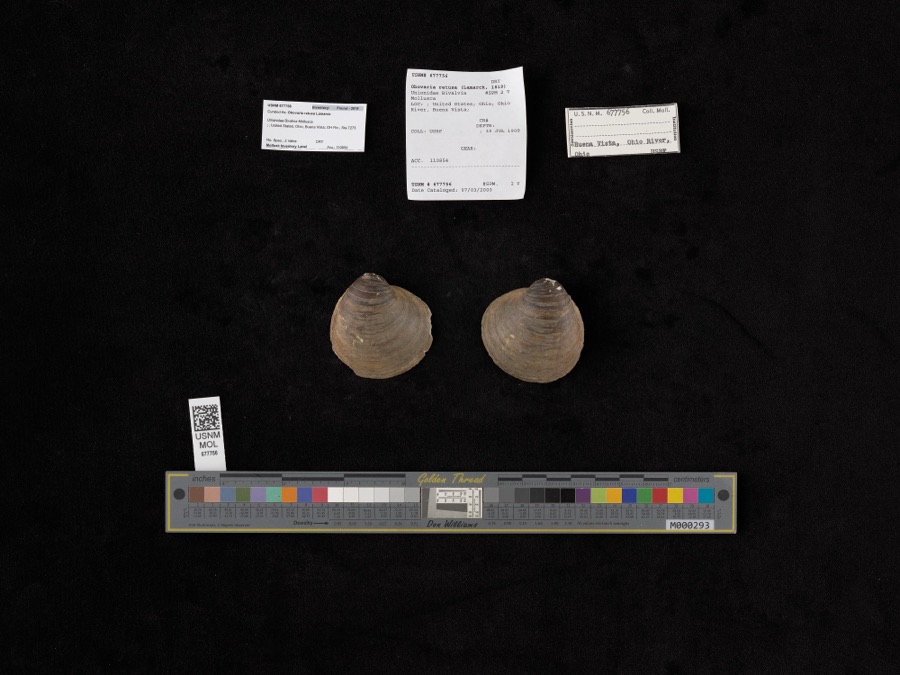 | Obovaria retusa (Lamarck, 1819) | 1909 | Bureau of Fisheries | Ohio River, Buena Vista |
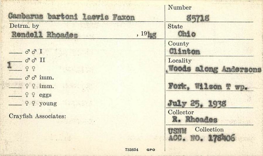 | Cambarus ortmanni Williamson, 1907 | 1938 | R. Rhoades | Woods along Anderson Fork, Wilson Township |
 | Gymnosporangium globosum (Farl.) Farl. | 1901 | Hartley C. P. | Sabina |
 | Accipiter cooperii (Bonaparte, 1828) | 1907 | Hegler, A. (Almer) | Fairview, Fayette, Ohio, USA |
 | Buteo jamaicensis borealis (Gmelin, 1788) | 1907 | Hegler, A. (Almer) | Fairview Sta., Fayette, Ohio, USA |
_2.jpg) | Buteo lagopus sanctijohannis (Gmelin, 1788) | 1907 | Hegler, A. (Almer) | Fairview Sta., Fayette, Ohio, USA |
 | Falco rusticolus obsoletus (J.F.Gmelin, 1788) | 1907 | Hegler, A. (Almer) | Washington C.H., Fayette, Ohio, USA |
| Tiphiidae | 1925 | Pallister, J. C. (John C.) | Madison, Fayette Co., Ohio, USA | |
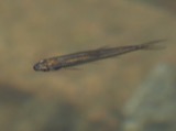 | Notropis heterolepis Eigenmann & Eigenmann, 1893 | 1926 | Wickliff, E. L. (Edward L.) | Rattlesnake Creek, no more precise locality provided, SW corner of Fayette County OH |
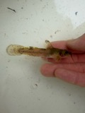 | Noturus miurus Jordan, 1877 | 1926 | Wickliff, E. L. (Edward L.) | water unknown, #10 Fayette Co, n/a, township n/a |
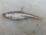 | Opsopoeodus emiliae Hay, 1881 | 1926 | Wickliff, E. L. (Edward L.) | Sugar Creek, near NE corner of Clinton County OH locality is approximate based off Fishes of Ohio distribution map |
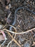 | Plethodon richmondi Netting & Mittleman, 1938 | 1929 | Walker, C. F. (Charles F.) | Perry Twp., Fayette Co., Ohio |
All 182 specimens within 10 miles, at the Global Biodiversity Information Facility.
Mines and quarries near this place
1 within 5 milesRegional context, not property-specific evidence. The federal mineral resources record lists 1 working within 5 miles of Buena Vista: 1 producer. All of them still produce. What was taken out: Stone, Crushed/Broken. Distance is straight-line from the map coordinates, so a quarry counted here may appear on a neighbouring settlement's page as well.
| Where | Site | Commodity | Status | Recorded |
|---|---|---|---|---|
| Sugar Creek Quarry | Stone, Crushed/Broken | Producer |
Storms near this place
5 since 1997Regional context, not property-specific evidence. The National Weather Service names Buena Vista in 5 storm reports between 1997 and 2019: 3 thunderstorm wind, 1 flash flood, 1 flood. No death or injury is recorded in these reports. Each account below is quoted exactly as the forecast office filed it, from the NOAA Storm Events Database, and each date opens the federal record of that event.
| When | Event | Place named | Harm | What the report says |
|---|---|---|---|---|
| March 2019 | Thunderstorm Wind | Buena Vista | $100,000 | Multiple trees and power poles were downed across the county, several barns were damaged, and a few houses had siding damage. |
| July 2015 | Thunderstorm Wind | Buena Vista | $4,000 | An outdoor shed was blown over. |
| July 1997 | Thunderstorm Wind | Buena Vista | $3,000 | Many trees downed. |
| May 2008 | Flood | Buena Vista | $2,000 | Stafford Road and US Route 62 near Greenfield-Sabina Road were both flooded. |
| May 2002 | Flash Flood | Buena Vista | $2,000 | The cross roads of Snow Hill and Greenfield-Sabina were covered by water. |
Nearest settlements
The eight closest, with where each one stands in the county. Distances are straight-line, computed from the Geographic Names Information System coordinates.
| Map | Place | Distance | Sheets |
|---|---|---|---|
| Georgetown | 1.4 miles | 11 | |
| New Martinsburg | 2.4 miles | 11 | |
| Staunton | 3.7 miles | 11 | |
| Rock Mills | 4.7 miles | 11 | |
| Ghormley (historical) | 6.2 miles | 11 | |
| Glendon | 6.7 miles | 12 | |
| Jasper Mills | 6.8 miles | 12 | |
| Good Hope | 7.1 miles | 12 |
Elsewhere
Matched on this settlement's Geographic Names Information System number rather than its name, so it cannot be a different place of the same name in another state.
| Wikipedia article on Buena Vista | An encyclopaedic summary. Its text is share-alike, so it is linked here rather than copied. |
| Wikidata item Q4985415 | The structured record the population and elevation above come from. Public domain (CC0). |
Provenance
This settlement is recorded in the Geographic Names Information System as feature 1056737. The sheet list is computed by point-in-boundary test against the United States Geological Survey's historical topographic inventory. Both are works of the United States government and carry no copyright under 17 U.S.C. 105.
Specimens. Global Biodiversity Information Facility (GBIF), https://www.gbif.org/. Only records licensed CC0 or CC BY are used. Records licensed CC BY-NC are excluded because this site carries advertising. Images are checked individually and any whose licence is non-commercial, no-derivatives or unreadable is refused.
Mines and quarries. USGS Mineral Resources Data System (MRDS) https://mrdata.usgs.gov/mrds/ A work of the United States government, no copyright under 17 U.S.C. 105.
Storms. NOAA National Centers for Environmental Information, Storm Events Database https://www.ncei.noaa.gov/stormevents/ A work of the United States government, no copyright under 17 U.S.C. 105. Narratives are quoted verbatim from the National Weather Service report and are not edited or summarised.