 Block
Block
Benton Ridge, Ohio
9 topographic sheets cover this place, the earliest surveyed in 1956 and the latest in 1986. It stands in Blanchard Township. It lies in ZIP code area 45816. The Survey maps it on the McComb quadrangle. 272 people lived here at the 2020 count. It stands 791 feet above sea level.
Population over time
2 figuresBenton Ridge fell from 299 to 272 between 2010 and 2020. These are the recorded population figures Wikidata holds for this place, reached through the Geographic Names Information System number this page is keyed on rather than by name, so they belong to this place and not to another of the same name. Most are census counts, but not all are: an early figure may be a founding or settlement estimate. The change column is computed, and is left blank where more than 20 years separate a figure from the one before it, because a gap that long is not a change between two counts.
| Year | People | Change |
|---|---|---|
| 2010 | 299 | |
| 2020 | 272 | -27 (-9%) |
Then and now
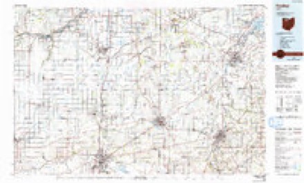
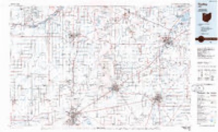
1956 to 1986The same ground, surveyed 30 years apart. Drag the handle to wipe between them. Both sheets are United States Geological Survey originals; neither has been altered.
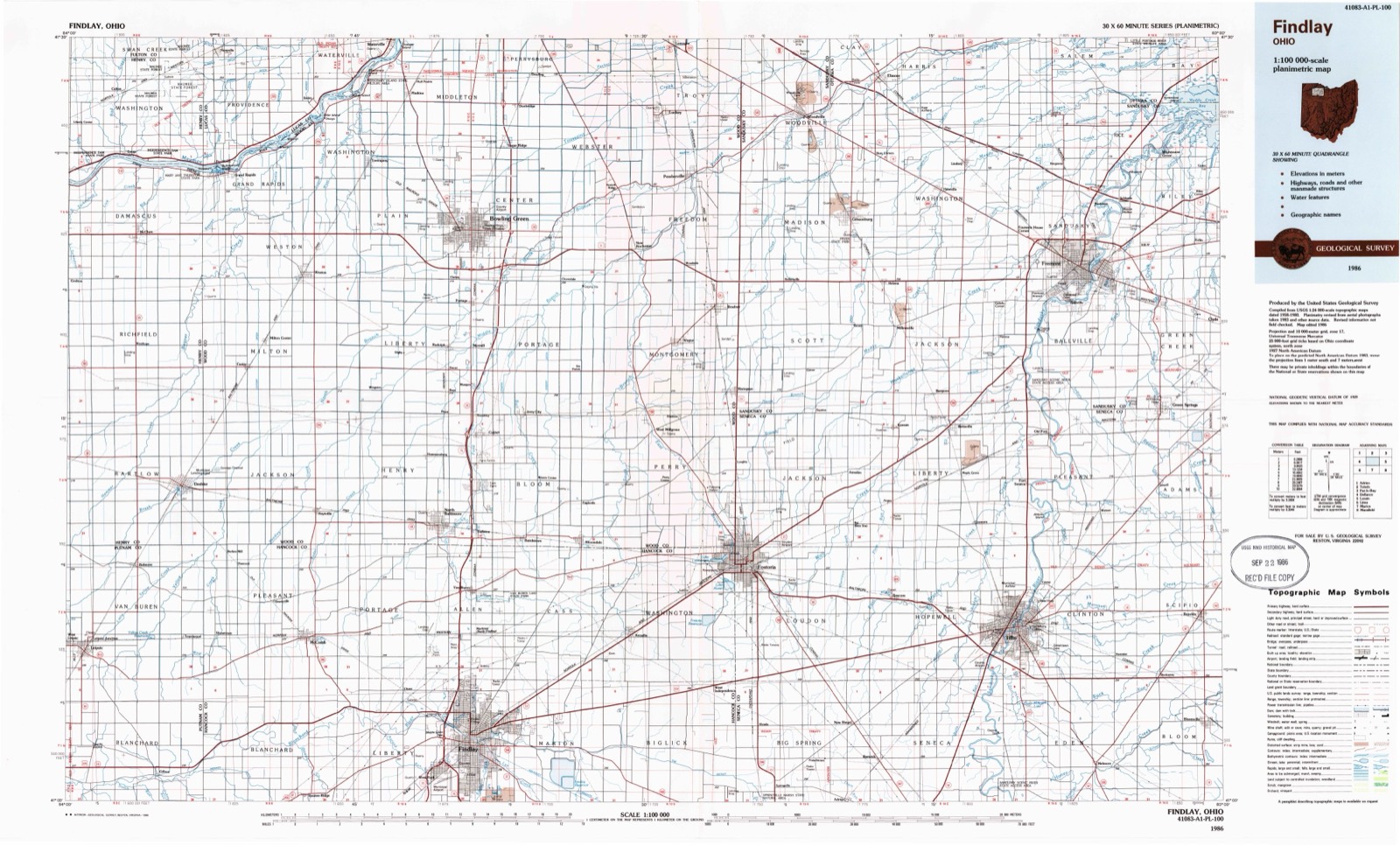
Topographic sheets covering this place
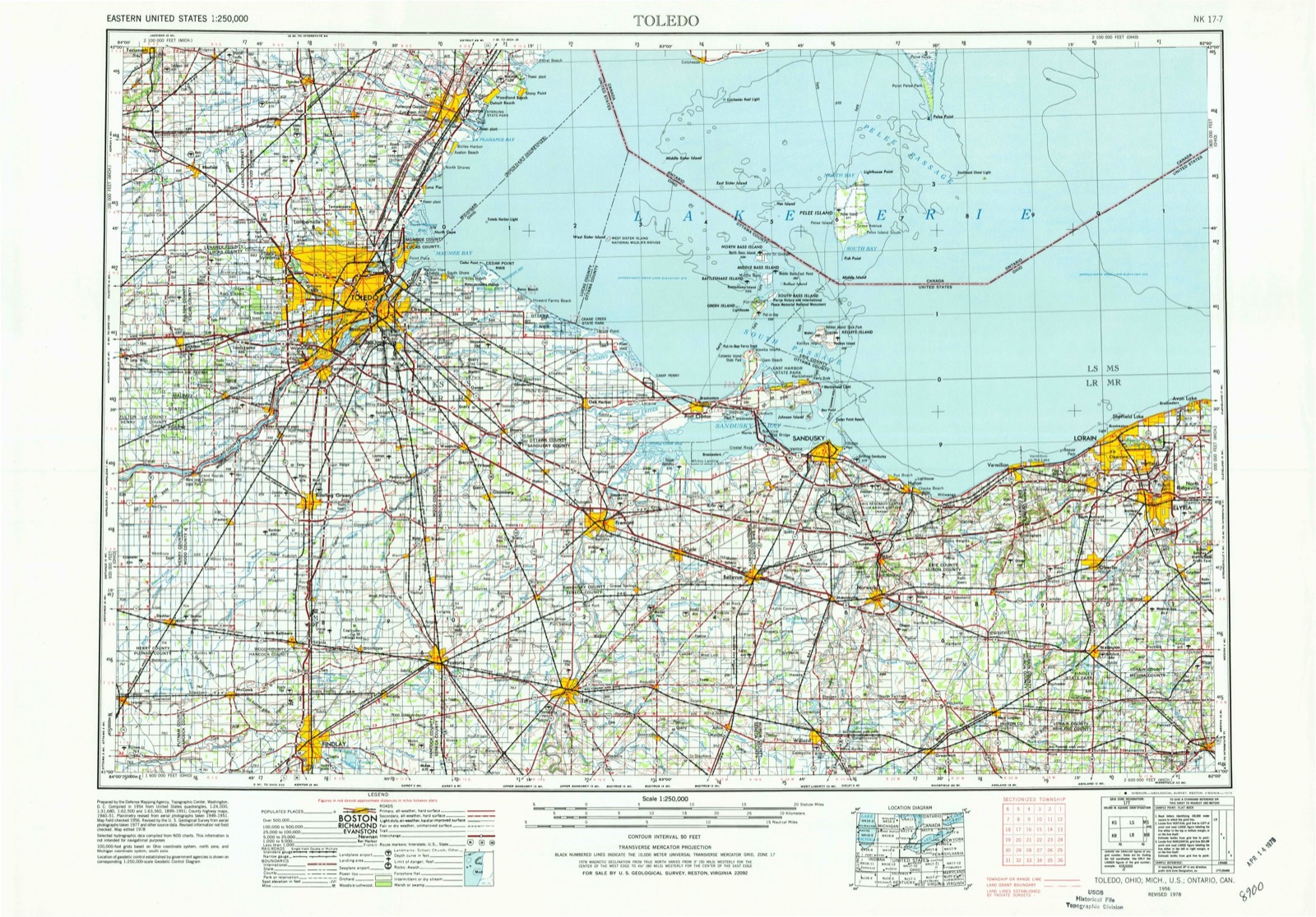
9 sheetsMatched by testing this settlement's coordinate against the published boundary of every sheet in the United States Geological Survey's historical collection. Each opens the scanned sheet at the Survey.
- 1956 USGS Toledo quadrangle1:250000
- 1956 USGS Toledo quadrangle1:250000
- 1956 USGS Toledo quadrangle1:250000
- 1956 USGS Toledo quadrangle1:250000
- 1960 USGS Mc Comb quadrangle1:24000
- 1960 USGS Mc Comb quadrangle1:24000
- 1961 USGS Toledo quadrangle1:250000
- 1986 USGS Findlay quadrangle1:100000
- 1986 USGS Findlay quadrangle1:100000





In the county-history sources
17,843 words on this townshipHistory of Hancock County [Ohio] from Its Earliest Settlement to the Present Time, Together with Remeiniscenses of Pioneer Life, Incidents, Statistical Tables, and Biographical Sketches, published 1881 names this settlement in its chapter on Blanchard Township. These are the passages that mention it, exactly as the scans read.
This locality, on account of the abundance of fish and game, was one of the resorts of the Indians on their hunting expeditions. And indeed hunting and fishing were not -only among the amusements of the whites, but they were works of necessity with them, in order to support themselves. The fish-net and the rifle was a part of the furniture of every well regulated log cabin, and by the skillful use of these, the tables of the pioneer were spread with fish, johnny cake and venison, to which the neighboi and stranger alike were always welcome.
Passage source: History of Hancock County [Ohio] from Its Earliest Settlement to the Present Time, Together with Remeiniscenses of Pioneer Life, Incidents, Statistical Tables, and Biographical Sketches, published 1881.
This town situated on the ridge running east and west through the county, and nine miles west of Findley, was laid out in November, 1835, by William Mires, on the east half of the north-west quarter of section thirty-five, and originally composed but thirty-six lots. In 1855, William Powell made an addition of five lots, and in 1867 he made a further addition of eleven lots, and in ] 868 he made a. third addition of ten lots.
Passage source: History of Hancock County [Ohio] from Its Earliest Settlement to the Present Time, Together with Remeiniscenses of Pioneer Life, Incidents, Statistical Tables, and Biographical Sketches, published 1881.
The town was named in honor of the sturdy old Missouri Senator, Thomas H. Benton. The location is a beautiful and healthy one, and is surrounded by a rich and productive agricultural country. The immediate vicinity of the town was settled at a very early day by the Powells - William, Jacob, John and Daniel, - David M. Baldwin, Jacob Engle, Solomon Foglesong, Knepper, Michael Fishel, Owen Hughes and other like enterprising frontiersmen.
Passage source: History of Hancock County [Ohio] from Its Earliest Settlement to the Present Time, Together with Remeiniscenses of Pioneer Life, Incidents, Statistical Tables, and Biographical Sketches, published 1881.
Machine-read from a century-old scan, so expect the errors a machine makes: misspelled names, dropped words, stray characters.
Read the whole chapter on Blanchard Township - it names this place 2 more 2 times.
Specimens collected near this place
12 of 210 shownRegional context, not property-specific evidence. Museums hold 210 specimens collected within 10 miles of Benton Ridge between 1883 and 1975: 199 Animalia, 11 Fungi. 12 distinct Species records are shown. Collected by Auten, CL & LC Hubbs, Collector(s): David E. Ferguson and others. Each is a physical object with a catalogue number, and each entry opens the museum's record. This is what was collected and kept, not a survey of what lives here - nothing can be concluded from a species being absent.
| Image | Species | Year | Collected by | Where, as recorded |
|---|---|---|---|---|
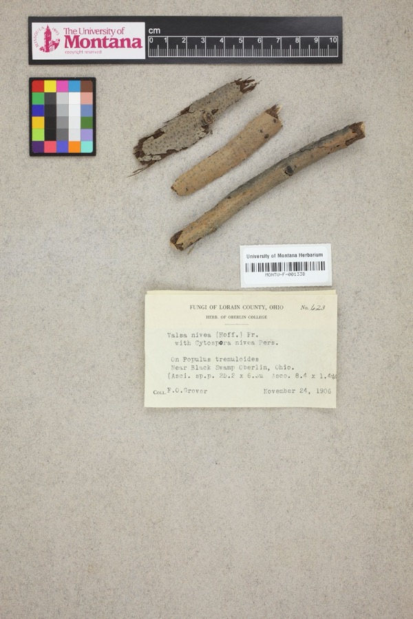 | Valsa nivea (Hoffm.) Fr. | 1906 | F. O. Grover | Near Black Swamp, Oberlin. |
 | Notropis boops Gilbert, 1884 | 1883 | Kirsch, P. H | Blanchard River, Findlay |
 | Esox americanus vermiculatus Lesueur, 1846 | 1893 | P. Kirsch | Blanchard River, Findlay, Ohio |
 | Micropterus dolomieu Lacepède, 1802 | 1893 | P. Kirsch | Blanchard River, Findley, Ohio |
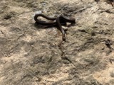 | Regina septemvittata (Say, 1825) | 1893 | not recorded | Findlay, Blanchard River |
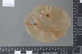 | Fusarium culmorum (Wm.G.Sm.) Sacc. | 1919 | Lewis H. L. | Findlay |
| Helminthosporium gramineum Rabenh. ex Schltdl. | 1919 | Lewis H. L. | Findlay | |
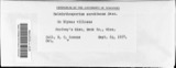 | Helminthosporium sorokinianum Sacc. | 1919 | Lewis H. L. | Findlay |
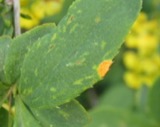 | Puccinia graminis Pers. | 1919 | Lewis H. L. | Findlay |
 | Catostomus commersonii (Lacepède, 1803) | 1925 | CL & LC Hubbs | Eagle Creek, due S of Findlay; Maumee River drainage |
 | Cyprinella spiloptera (Cope, 1867) | 1925 | CL & LC Hubbs | Eagle Creek, due S of Findlay; Maumee River drainage |
 | Etheostoma blennioides Rafinesque, 1819 | 1925 | CL & LC Hubbs | Eagle Creek, due S of Findlay; Maumee River drainage |
All 210 specimens within 10 miles, at the Global Biodiversity Information Facility.
Storms near this place
10 since 1999Regional context, not property-specific evidence. The National Weather Service names Benton Ridge in 10 storm reports between 1999 and 2020: 6 thunderstorm wind, 4 hail. No death or injury is recorded in these reports. Each account below is quoted exactly as the forecast office filed it, from the NOAA Storm Events Database, and each date opens the federal record of that event.
| When | Event | Place named | Harm | What the report says |
|---|---|---|---|---|
| June 2017 | Thunderstorm Wind | Benton Ridge | $35,000 | Thunderstorm winds snapped a couple utility poles and some trees resulting in a few power outages. |
| May 2010 | Thunderstorm Wind | Benton Ridge | $25,000 | Thunderstorm winds toppled three utility poles. |
| July 2012 | Thunderstorm Wind | Benton Ridge | $20,000 | Thunderstorm winds downed a few trees. Scattered power outages were reported. |
| June 2010 | Thunderstorm Wind | Benton Ridge | $10,000 | Thunderstorm winds toppled at least one utility pole. |
| June 2015 | Thunderstorm Wind | Benton Ridge | $2,000 | Thunderstorm winds downed a tree near the intersection of U.S. 224 and Township Road 116. One lane was blocked by the tree. |
| June 2020 | Thunderstorm Wind | Benton Ridge | $200 | A trained spotter reported 16 inch diameter tree was downed at Ohio State Route 235 at County Road 84. |
| March 2009 | Hail | Benton Ridge | - | Quarter size hail was observed. |
| August 2007 | Hail | Benton Ridge | - | Penny size hail was observed just south of Benton Ridge. |
| July 2005 | Hail | Benton Ridge | - | Penny size hail was observed. |
| July 1999 | Hail | Benton Ridge | - | no account filed |
Nearest settlements
The eight closest, with where each one stands in the county. Distances are straight-line, computed from the Geographic Names Information System coordinates.
| Map | Place | Distance | Sheets |
|---|---|---|---|
| Moffitt (historical) | 3.1 miles | 9 | |
| Rawson | 3.2 miles | 12 | |
| Lewisville (historical) | 3.2 miles | 9 | |
| Mount Cory | 4.9 miles | 12 | |
| Cannonsburg | 6.2 miles | 12 | |
| West Park | 6.4 miles | 13 | |
| Murphys | 6.5 miles | 13 | |
| Chase | 6.5 miles | 13 |
Elsewhere
Matched on this settlement's Geographic Names Information System number rather than its name, so it cannot be a different place of the same name in another state.
| Wikipedia article on Benton Ridge | An encyclopaedic summary. Its text is share-alike, so it is linked here rather than copied. |
| Wikidata item Q2199264 | The structured record the population and elevation above come from. Public domain (CC0). |
Provenance
This settlement is recorded in the Geographic Names Information System as feature 1064415. The sheet list is computed by point-in-boundary test against the United States Geological Survey's historical topographic inventory. Both are works of the United States government and carry no copyright under 17 U.S.C. 105.
Specimens. Global Biodiversity Information Facility (GBIF), https://www.gbif.org/. Only records licensed CC0 or CC BY are used. Records licensed CC BY-NC are excluded because this site carries advertising. Images are checked individually and any whose licence is non-commercial, no-derivatives or unreadable is refused.
Storms. NOAA National Centers for Environmental Information, Storm Events Database https://www.ncei.noaa.gov/stormevents/ A work of the United States government, no copyright under 17 U.S.C. 105. Narratives are quoted verbatim from the National Weather Service report and are not edited or summarised.