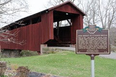
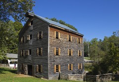
Listed on the National Register of Historic Places in
1978. A historic map-sheet match is not published yet. The record needs a coordinate-quality review before it can be joined to a sheet boundary.
From the record
“While quite a young man he read medicine, and settled in Baltimore in 1859. He attended lectures for two years after he came to Baltimore and at the end of that time, March 28, 1861, he was married to Mary Holmes who was born at Carroll, October 6, 1838.”
History of Fairfield County, Ohio, and Representative Citizens (1912). Machine-read text.
one of 29 National Register listings in Fairfield County · listed in 1978 · category: Structure · one of 1 National Historic Landmarks in Fairfield County.
National Register reference number.78002060- the number the National Park Service assigned this property when it was listed, and the key its nomination file is catalogued under at the National Archives.
What happened here
An account from the chapter on Liberty township, The inset identifies its exact
source book and publication year.
The first season they planted about three acres of corn, but they did not even get a peck of ripe corn. The squirrels visited the cornfield in day-time, and the raccoons in the night. Jacob told me that his father, Abraham, went out with his rifle one morning and killed thirty-eight squirrels ofi" of one tree, and then he was not able to count the remainder on the same tree.
For 55 years Mr. Humrighous was an undertaker of Royalton - in that time he buried 2,500 people, within a radius of ten miles. At the time of his death in 1893 he was the second oldest undertaker in the United States. He was born on the Huston farm near Royalton in 181 1. He married Magdaline Wagner near Carroll, Ohio.
The little red brick schoo'l house, known as Greenfield .\cadeniy, was torn down a few years since and a frame dwelling erected in its place. The old building was about five miles distant from Lancaster, on the Carroll pike, and just a few yards this side of the Presbyterian church in Greenfield township. Of the boys whose names have been recorded, but few remain. Death has claimed the large majority of them. Dr. David Carpenter, Dr. H. W. Carpenter, Judge Brasee, Oliver P. Chaney, E. C. Kreider, are well known men. E. P. Ashbrook, now more than four score, is living in Illinois. Isaac Claypool is also one of the living, as is L. L. Rockey, of Liberty. David Pence and Samuel H. Anderson are well known fartners of Pleasant township.
Regional context, not property-specific
evidence. The
federal wildfire occurrence database
lists 5 fires within 5 miles of John Bright No. 1 Iron Bridge between
2008 and 2020, burning about 29 acres in total. None started naturally. None was recorded as arson.
Distance is straight-line from the map coordinates, so a fire counted
here may appear on a neighbouring settlement's page as well.
Reported cause
Fires
Debris and open burning
2
Power generation/transmission/distribution
1
Missing data/not specified/undetermined
1
Equipment and vehicle use
1
The most recent of
them, most recent first, with the day each was reported and the service
that recorded it.
Regional context, not property-specific
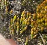
evidence. Museums hold 2,116 specimens
collected within 10 miles of John Bright No. 1 Iron Bridge between 1843 and
1975: 1,786 Animalia, 259 Fungi, 63 Plantae, 6 Protozoa, 2 Chromista. 12 distinct Species records are shown.
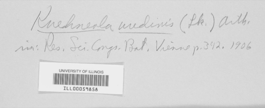
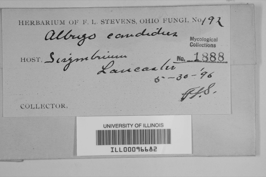
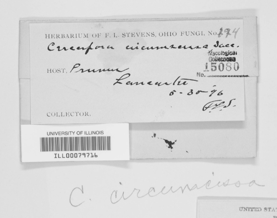
Collected by Asa Gray; W. S. Sullivant, Bales, B. R., Bangham, R. V. and others. Each is a
physical object with a catalogue
number, and each entry opens the museum's record. This is what was
collected and kept, not a survey of what lives here - nothing can be
concluded from a species being absent.
Regional context, not property-specific
evidence. The federal mineral resources record lists
3 workings within 5 miles of John Bright No. 1 Iron Bridge: 3 producers.
All of them still produce. What was taken out: Sand and Gravel, Construction. Distance is straight-line from the
map coordinates, so a quarry counted here may appear on a neighbouring
settlement's page as well.
Regional context, not property-specific
evidence. The National Weather Service names
Carroll, the town this property stands in, in 9 storm reports between 1996 and 2025: 5 hail, 4 thunderstorm wind.
No death or injury is recorded in these reports. Each account below is quoted exactly as the forecast office
filed it, from the NOAA Storm Events Database, and each date
opens the federal record of that event.
No historic map-sheet match is published
for this property yet. That does not mean no map exists. This record needs
a coordinate-quality review before it can be joined to a sheet boundary.
Browse the county's mapped places while that work is
pending.
From the nomination file
1,654 words on record
When this property was proposed for the
National Register, someone wrote the case for it: what the building is,
and why it matters. That document is a federal record in the public domain.
It is quoted below word for word, never summarised. The text was read off the scanned case file by machine, so the
occasional stray character is the recogniser's and the 1970s
typewriter's.
Description of the property
The flow of the stream is against this south abutment. The bridge floor says "Hocking Valley Bridge Works, Lancaster, Ohio".
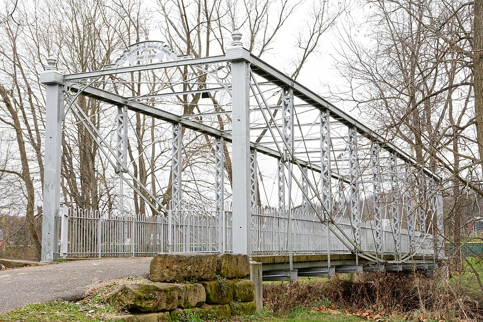
A small plate near the top CONDITION UNEXPOSED EXCELLENT later addition The structure under consideration is an unusual one-span steel eye-bar suspension CHECK ONE on the National Register.John Bright #Ol Bridge is an all steel span except for rods, one on each side of the trusses.At the same joint on each truss vertical where channels riveted together to form box beams that are fastened to 2'square rein- a combination is the nearby John Bright #O2 Covered Bridge, which is now listed mediate posts)which are fabricated box beams consisting of 2 steel channels 6 wide the truss is fastened to the suspension rod, there is a suspension hangar which is Valley Bridge Works at that time was August Borneman, well-known builder of both 3"plates running longitudinally from abutment to abutment.The 8 steel joists are bridge spanning Poplar Creek on the Havensport Road road 263)2 miles came from Carnegie Steel.Under the center of the bridge is a wooden support con covered with a layer of asphalt, applied no doubt when road resurfacing was done northeast of Carroll in Liberty Township, Fairfield County,Ohio.
width is ll' and the overall width is l6'.The bridge end posts are 2-6" steel consists of 2"x 4" timbers laid on edge. -GOOD -RUINS Hocking Valley Bridge Works, probably in the 1880's. Proprietor of the Hocking Corced steel plates on top of the abutments. There are truss verticals (or inter- with 1 3/4 "ribs and with steel bar lattices rivited to the sides. These lattice steel channels.
We feel that the old John Bright #Ol Bridge is an outstanding example of early steel XTRANSPORTATION earliest settlers in this erea, coming here in 1832.The entire area was once known The John Bright #ol Bridge is named for the pioneer Bright Family who were among the LITERATURE _1700-1799 - PHILOSOPHY -MUSIC X1800-1899 verted arch suspension truss covered bridge, also built by August Borneman, proprietor -LANDSCAPE ARCHITECTURE,* - RELIGION c ery, a composite pier for bridges, and one truss bridge. This truss bridge was a sideration here.
Register and under consideration, is a Howe patent truss.A search of patent records We feel that it is entirely possible that this was an experimental shows us that August Borneman was quite an inventor.He held patents on farm machin- the Havensport Road was opened in 183l to provide a route to the Ohio and Erie Canal of the Hocking Valley Bridge Works.The covered bridge was built in 188l and the - INVENTION 9
Quoted from the National Register nomination
for reference 78002060, 8 pages, held by the National Archives in Record
Group 79. See the
catalogue record.
Listed places nearby
6 within 8 miles
Other National Register properties close
enough to walk or drive between, ordered by distance from this one. Both
positions come from the same geocoding pass that matched these properties
to their map sheets.
Listing record. National Park Service National Register of Historic Places, listed-properties dataset, current to 2026-05-22.
Map join. Address geocoded through the United States Census geocoder, then tested against the published boundary of every sheet in the USGS Historical Topographic Map Collection.
How this page is made. Listing fields come from federal records; map-sheet coverage is a labelled coordinate-to-boundary calculation, not a source-field claim.
Wildfire. Short, Karen C. 2022. Spatial wildfire occurrence data for the United States, 1992-2020 [FPA_FOD_20221014]. 6th Edition. Fort Collins, CO: Forest Service Research Data Archive. https://doi.org/10.2737/RDS-2013-0009.6 Collected with United States Government funding and usable without additional permissions or fees.
Specimens. Global Biodiversity Information Facility (GBIF), https://www.gbif.org/. Only records licensed CC0 or CC BY are used. Records licensed CC BY-NC are excluded because this site carries advertising. Images are checked individually and any whose licence is non-commercial, no-derivatives or unreadable is refused.
Mines and quarries. USGS Mineral Resources Data System (MRDS) https://mrdata.usgs.gov/mrds/ A work of the United States government, no copyright under 17 U.S.C. 105.
Storms. NOAA National Centers for Environmental Information, Storm Events Database https://www.ncei.noaa.gov/stormevents/ A work of the United States government, no copyright under 17 U.S.C. 105. Narratives are quoted verbatim from the National Weather Service report and are not edited or summarised.
 Block
Block