 Block
Block
Clarksfield, Ohio
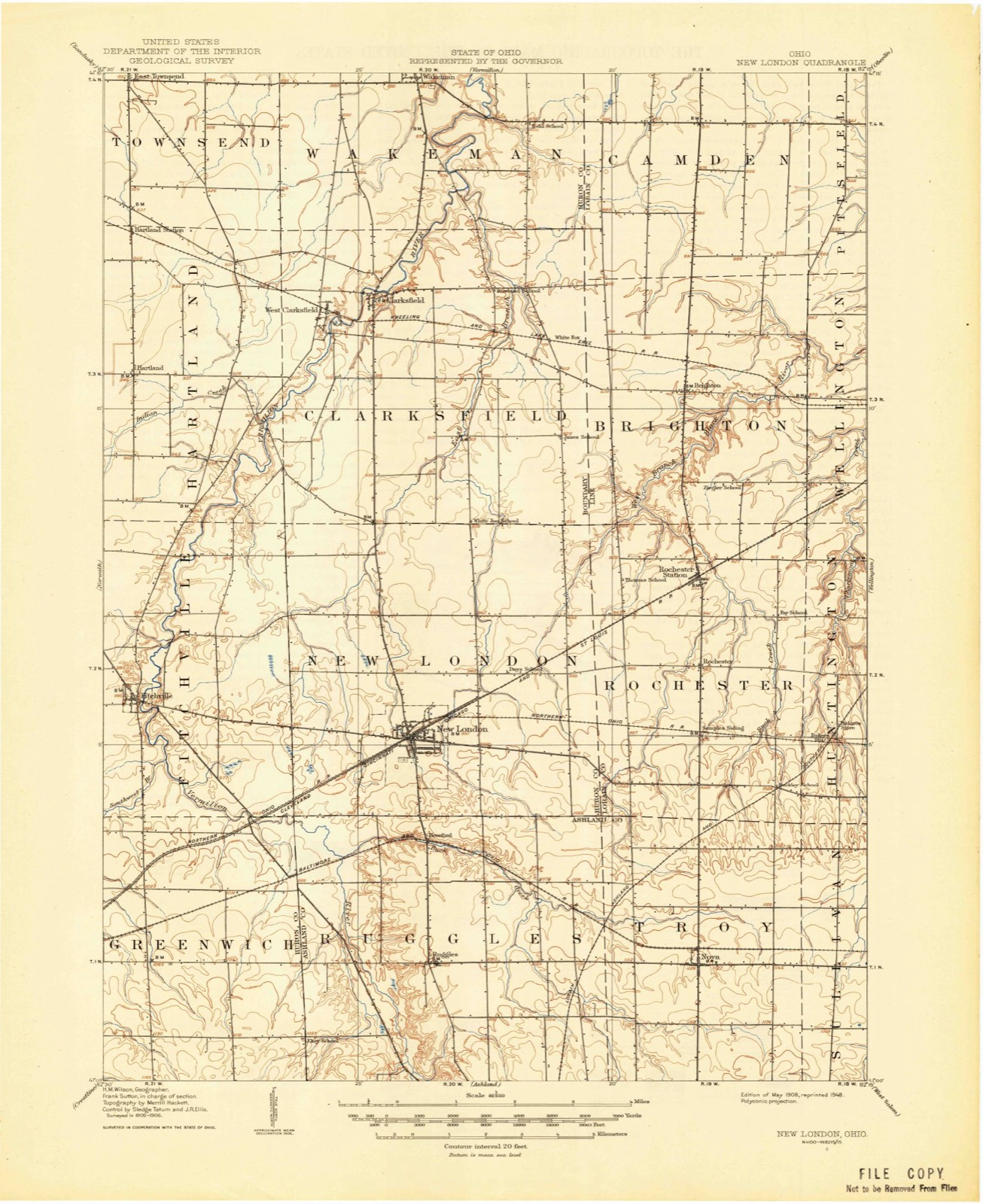
10 topographic sheets cover this place, the earliest surveyed in 1908 and the latest in 1986. It stands in Clarksfield Township. It lies in ZIP code area 44889. The Survey maps it on the Clarksfield quadrangle.
Then and now
1908 to 1986The same ground, surveyed 78 years apart. Drag the handle to wipe between them. Both sheets are United States Geological Survey originals; neither has been altered.

Topographic sheets covering this place
10 sheetsMatched by testing this settlement's coordinate against the published boundary of every sheet in the United States Geological Survey's historical collection. Each opens the scanned sheet at the Survey.
- 1908 USGS New London quadrangle1:62500
- 1956 USGS Toledo quadrangle1:250000
- 1956 USGS Toledo quadrangle1:250000
- 1956 USGS Toledo quadrangle1:250000
- 1956 USGS Toledo quadrangle1:250000
- 1960 USGS Clarksfield quadrangle1:24000
- 1960 USGS Clarksfield quadrangle1:24000
- 1961 USGS Toledo quadrangle1:250000
- 1986 USGS Lorain quadrangle1:100000
- 1986 USGS Lorain quadrangle1:100000







In the county-history sources
7,228 words on this townshipHistory of Huron County Ohio Its Progress and Development, published 1909 names this settlement in its chapter on Clarksfield Township. These are the passages that mention it, exactly as the scans read.
In dividing the Firelands in 1808 the township of Clarksfield was assigned to the holders of the original claims of one hundred and seventeen persons whose claims amounted to eight thousand, three hundred and thirty-nine pounds, worth then twenty-seven thousand, seven hundred and ninety-seven dollars, but these claims had been scaled down to seventeen thousand, nine hundred and twenty-four dollars, which is a little more than a dollar an acre. After the state of Ohio had incorporated the company known by the long name of the "Proprietors of the Half Million Acres of Land Lying South of Lake Erie, Called Sufferers' Land," the directors assessed a tax of two cents on the pound on the original losses for the purpose of defraying the necessary expense of surveying and dividing the lands. Many of the owners failed to pay this trifling tax and the lands were sold at ^Publick Vendue," as the deeds state, in 1808. Comfort Hoyt, Jr., was one of the tax collectors and among other claims sold to Zadock Starr claims amounting to seven hundred and forty-seven dollars for ten dollars and six cents; to Ezra Wildman claims amounting to five hundred and sixty-nine dollars for seven dollars and eighty-four cents ; to John Dodd claims amounting to eight hundred and sixty-two dollars for nine dollars and sixty-four cents, and other claims at like discounts. This indicates that the original claimants were often indifferent or too poor to pay the tax. Undoubtedly the most of the original sufferers or their heirs realized but little from the grant of the land. When the drawing for the division of the Firelands was made on the 9th of November, 1808, the several sections of Clarksfield township were drawn by the following persons and their claims entitled them to the number of acres opposite their names: First, or southeast section,
Passage source: History of Huron County Ohio Its Progress and Development, published 1909.
At the first meeting of the commissioners of Huron. county, held at the county seat north of Milan, near Abbott's bridge, on the rst day of August, 1815. Ver- million township was organized to contain the whole of the twentieth range, that is, the townships of Vermillion, Florence, Wakeman, Clarksfield, New London and Ruggles. It also included "all of that portion of Huron county east of the Firelands," which was a considerable of the present county of Lorain. March 2, 1818, New London township was organized to comprise the townships of Ruggles, New London and Clarksfield. March 8, 1820, the commissioner "ordered that townships number three, in the twentieth and twenty-first ranges (Clarksfield and Hartland), be and the same are hereby organized into a separate township with all the privileges belonging thereto, by the name of Bethel." In 1826 the two townships were organized under their present names.
Passage source: History of Huron County Ohio Its Progress and Development, published 1909.
At the December meeting of the county commissioners in 1815 a road was ordered to be laid out as follows: "Beginning at the end of the north and south road which is now laid out from the lake to the south line of Jessup (now Florence), thence to continue through the twentieth range to the south line of said twentieth range through the settlement in New London." This road was cut out during the winter and is the one upon which the village of Clarksfield is located. The settlement in New London was south of the present town of New London. On the 28th day of March, 1816, two brothers, Hosea and Hiram Townsend, left Florence with an ox team on their way from Massachusetts to New London, and are said to have been the first persons to drive a team over this road. In 1810 Benjamin Stiles of New York city purchased of John Dodd one thousand, two hundred and ninety-five acres of land in Clarksfield township, at one dollar per acre. In 1817, Samuel Husted purchased of John Dodd an undivided interest in seven hundred and eight-two acres for one thousand, six hundred dollars. At this time all of the third section except one tier of lots on the south side was owned in common by Ezra Dibble, Comfort Hoyt, Jr., Timothy Chittenden, Jr., Benjamin Stiles and Samuel Husted. May 14, 1817, they quit claimed to each other definite portions of this land, Chittenden getting five hundred and ninety-five acres; Dibble & Hoyt, six hundred and ninety-three; Stiles, one thousand, three hundred, and Husted, seven hundred and fifty-two. May 19, 1817, John Dodd sold to Nathaniel and Ezra Wood, brothers, of Danbury, Connecticut, a piece of land in common in the second section, to contain one hundred and twenty-six acres, for two hundred fifty-two dollars and fifty-six cents. Another deed located the land in lot seventeen and Nathaniel soon sold his interest to Ezra. In the same year, 1817, Abraham Gray purchased of Dodd and Dibble lot thirteen in the second section (the lot next east of the Daniel Rowland farm).
Passage source: History of Huron County Ohio Its Progress and Development, published 1909.
Machine-read from a century-old scan, so expect the errors a machine makes: misspelled names, dropped words, stray characters.
Read the whole chapter on Clarksfield Township - it names this place 17 more 17 times.
Specimens collected near this place
12 of 543 shownRegional context, not property-specific evidence. Museums hold 543 specimens collected within 10 miles of Clarksfield between 1887 and 1975: 366 Plantae, 108 Animalia, 65 Fungi, 3 Unrecorded, 1 Protozoa. 12 distinct Species records are shown. Collected by A. Woolman, C. E. Jennings, C. Rutter and others. Each is a physical object with a catalogue number, and each entry opens the museum's record. This is what was collected and kept, not a survey of what lives here - nothing can be concluded from a species being absent.
| Image | Species | Year | Collected by | Where, as recorded |
|---|---|---|---|---|
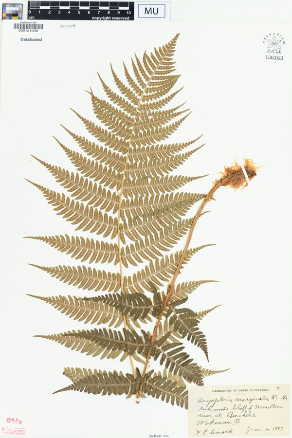 | Dryopteris marginalis (L.) A.Gray | 1887 | Leonard, F.E. | "Rich woods, bluff of Vermillion River at Beecher's. |
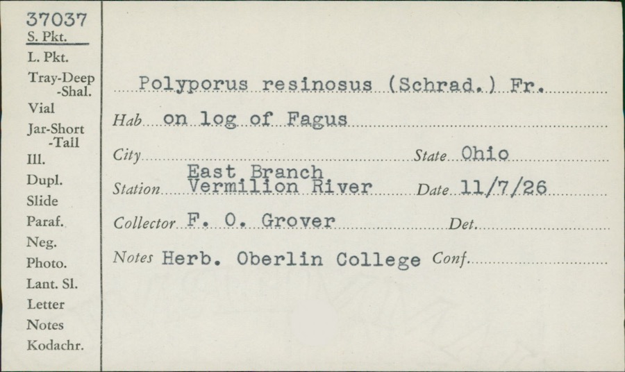 | Polyporus resinosus (Schrad.) Fr. | 1926 | F.O. Grover | East Branch, Vermilion River |
 | Cephalanthus occidentalis L. | 1888 | Shafer, J.A. | W of Brighton near Cleveland |
 | Chrysemys picta (Schneider, 1783) | 1893 | not recorded | Clarksfield, Vermillion River |
 | Etheostoma caeruleum Storer, 1845 | 1893 | not recorded | Vermillion River, Clarksfield, Ohio |
 | Etheostoma nigrum Rafinesque, 1820 | 1893 | A. Woolman | Ohio, Wakeman, Vermillion River |
 | Gymnosporangium clavipes Cooke & Peck | 1893 | Hall W. B. | Wakeman |
 | Micropterus dolomieu Lacepède, 1802 | 1893 | A. Woolman | Vermillion River, Clarksfield, Ohio |
 | Moxostoma erythrurum (Rafinesque, 1818) | 1893 | A. Woolman | Vermillion River, Clarksfield, Ohio |
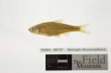 | Notropis chrysocephalus (Rafinesque, 1820) | 1893 | A. Woolman | Ohio, Wakeman, Vermillion River |
 | Notropis cornutus (Mitchill, 1817) | 1893 | not recorded | Vermillion River, Clarksfield, Ohio |
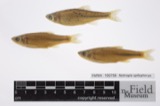 | Notropis spilopterus spilopterus | 1893 | A. Woolman | Ohio, Wakeman, Vermillion River |
All 543 specimens within 10 miles, at the Global Biodiversity Information Facility.
Storms near this place
4 since 2003Regional context, not property-specific evidence. The National Weather Service names Clarksfield in 4 storm reports between 2003 and 2020: 3 thunderstorm wind, 1 tornado. No death or injury is recorded in these reports. Each account below is quoted exactly as the forecast office filed it, from the NOAA Storm Events Database, and each date opens the federal record of that event.
| When | Event | Place named | Harm | What the report says |
|---|---|---|---|---|
| November 2017 | Tornado (EF1) | West Clarksfield | $250,000 | An EF1 tornado touched down along Wakeman Town Line Road just north of State Route 18. A home near the initial touchdown sustained significant roof damage and some hardwood trees in the area were damaged. The tornado continued east northeast and damaged a couple buildings as it crossed Fitchville River Road. The tornado then turned to the northeast. A barn on St. Johns Road lost most of its roof. Debris from the roof was found up to a quarter mile away. The tornado continued on the ground for a couple hundred yards more before finally lifting over open farmland. Dozens of trees were snapped or uprooted along the damage path. This tornado was on the ground just under two miles and had a damage path up to 100 yards in the width. |
| May 2003 | Thunderstorm Wind | Clarksfield | $5,000 | Thunderstorm winds downed two trees along State Route 18. |
| June 2005 | Thunderstorm Wind | Clarksfield | $2,000 | A tree was reported down in Clarksfield, and a sign blown over in Hartland from thunderstorm winds. |
| August 2020 | Thunderstorm Wind | West Clarksfield | - | Power pole downed across Wakeman Townline Road, near Crandall Road. Time estimated via radar. |
Nearest settlements
The eight closest, with where each one stands in the county. Distances are straight-line, computed from the Geographic Names Information System coordinates.
| Map | Place | Distance | Sheets |
|---|---|---|---|
| West Clarksfield | 0.9 miles | 10 | |
| White Fox | 3.2 miles | 11 | |
| Wakeman | 4.2 miles | 14 | |
| Hartland Station | 4.4 miles | 10 | |
| Hartland | 4.4 miles | 10 | |
| East Townsend | 5.6 miles | 10 | |
| Collins | 6.1 miles | 14 | |
| West Hartland | 6.8 miles | 12 |
Provenance
This settlement is recorded in the Geographic Names Information System as feature 1056808. The sheet list is computed by point-in-boundary test against the United States Geological Survey's historical topographic inventory. Both are works of the United States government and carry no copyright under 17 U.S.C. 105.
Specimens. Global Biodiversity Information Facility (GBIF), https://www.gbif.org/. Only records licensed CC0 or CC BY are used. Records licensed CC BY-NC are excluded because this site carries advertising. Images are checked individually and any whose licence is non-commercial, no-derivatives or unreadable is refused.
Storms. NOAA National Centers for Environmental Information, Storm Events Database https://www.ncei.noaa.gov/stormevents/ A work of the United States government, no copyright under 17 U.S.C. 105. Narratives are quoted verbatim from the National Weather Service report and are not edited or summarised.