 Block
Block
Wakeman, Ohio
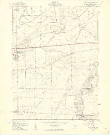
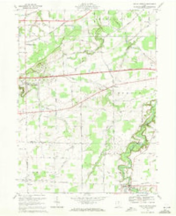
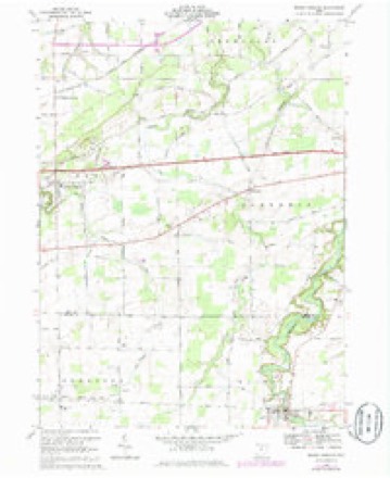
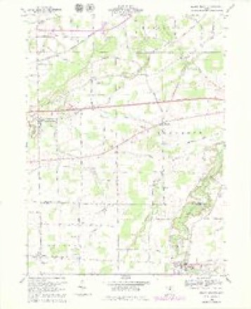
14 topographic sheets cover this place, the earliest surveyed in 1903 and the latest in 1986. It stands in Wakeman Township. It lies in ZIP code area 44889. The Survey maps it on the Berlin Heights quadrangle. 990 people lived here at the 2020 count.
Population over time
2 figuresWakeman fell from 1,047 to 990 between 2010 and 2020. These are the recorded population figures Wikidata holds for this place, reached through the Geographic Names Information System number this page is keyed on rather than by name, so they belong to this place and not to another of the same name. Most are census counts, but not all are: an early figure may be a founding or settlement estimate. The change column is computed, and is left blank where more than 20 years separate a figure from the one before it, because a gap that long is not a change between two counts.
| Year | People | Change |
|---|---|---|
| 2010 | 1,047 | |
| 2020 | 990 | -57 (-5%) |
Then and now
1903 to 1986The same ground, surveyed 83 years apart. Drag the handle to wipe between them. Both sheets are United States Geological Survey originals; neither has been altered.

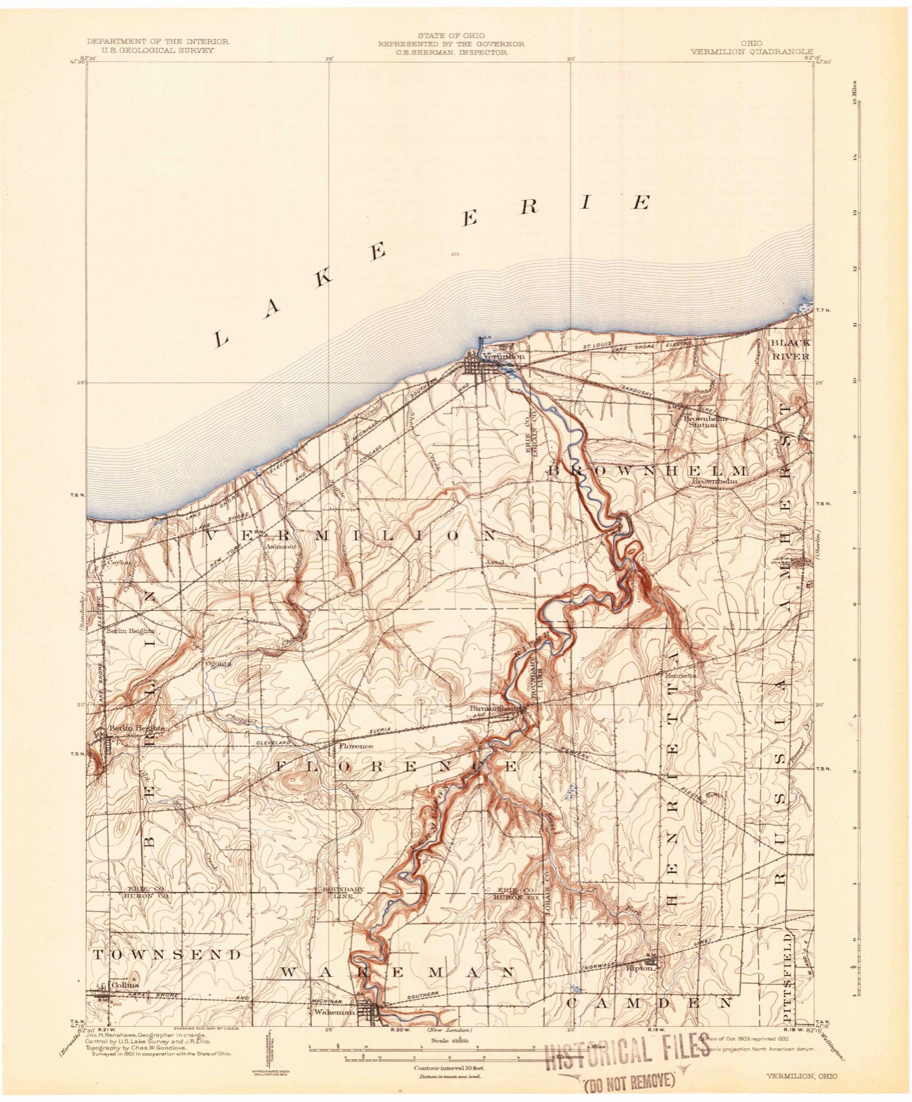
Topographic sheets covering this place
14 sheetsMatched by testing this settlement's coordinate against the published boundary of every sheet in the United States Geological Survey's historical collection. Each opens the scanned sheet at the Survey.
- 1903 USGS Vermilion quadrangle1:62500
- 1903 USGS Vermilion quadrangle1:62500
- 1956 USGS Toledo quadrangle1:250000
- 1956 USGS Toledo quadrangle1:250000
- 1956 USGS Toledo quadrangle1:250000
- 1956 USGS Toledo quadrangle1:250000
- 1959 USGS Berlin Heights quadrangle1:24000
- 1959 USGS Berlin Heights quadrangle1:24000
- 1961 USGS Toledo quadrangle1:250000
- 1969 USGS Berlin Heights quadrangle1:24000
- 1969 USGS Berlin Heights quadrangle1:24000
- 1969 USGS Berlin Heights quadrangle1:24000
- 1986 USGS Lorain quadrangle1:100000
- 1986 USGS Lorain quadrangle1:100000







What happened here
An account from the chapter on Wakeman township, The inset identifies its exact source book and publication year.
George H. Gates
George H. Gates, who is serving efficiently as court bailiff of Huron county, is a native son of the Buckeye state, born in Newark, Ohio, May 26, 1858, his parents being Jacob and Rose (Chamberlin) Gates. The father was an engineer on the Pan Handle Railroad and was killed at Coshocton the morning prior to Thanksgiving day of 1872.
In the county-history sources
331,951 words on this townshipHistory of Huron County Ohio Its Progress and Development, published 1909 names this settlement in its chapter on Wakeman Township. These are the passages that mention it, exactly as the scans read.
Wakeman was attached to Florence for township purposes until February, 1824, at which time, on petition of the inhabitants, it was set off by the county commissioners, and organized independently. The election was held at the log school house near Mr. Canfield's, in April following.
Passage source: History of Huron County Ohio Its Progress and Development, published 1909.
The first religious meeting in Wakeman was held at the house of Augustin Canfield, Sunday evening, January 10, 1819. Rev. Lot B. Sullivan, a missionary, was the preacher. Mr. and Mrs. Canfield, Dr. Clark and wife led the singing. They were the pioneer choir of Wakeman for many years.
Passage source: History of Huron County Ohio Its Progress and Development, published 1909.
The first wedding in Wakeman was that of Marshall Johnson and Marinda Bradley. They were married in October, 1820, at the house of Abram Bronson, Dr. Clark performing the ceremony. The next couple married was Nathaniel Hine, of Berlin, and Ruth Sherman, in the winter of 1821.
Passage source: History of Huron County Ohio Its Progress and Development, published 1909.
Machine-read from a century-old scan, so expect the errors a machine makes: misspelled names, dropped words, stray characters.
Read the whole chapter on Wakeman Township - it names this place 127 more 127 times.
Specimens collected near this place
12 of 108 shownRegional context, not property-specific evidence. Museums hold 108 specimens collected within 10 miles of Wakeman between 1887 and 1975: 70 Animalia, 20 Plantae, 15 Fungi, 3 Unrecorded. 12 distinct Species records are shown. Collected by A. Woolman, C. Rutter, D. P. Rogers and others. Each is a physical object with a catalogue number, and each entry opens the museum's record. This is what was collected and kept, not a survey of what lives here - nothing can be concluded from a species being absent.
| Image | Species | Year | Collected by | Where, as recorded |
|---|---|---|---|---|
 | Dryopteris marginalis (L.) A.Gray | 1887 | Leonard, F.E. | "Rich woods, bluff of Vermillion River at Beecher's. |
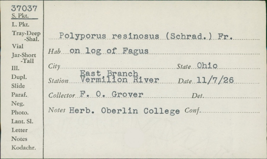 | Polyporus resinosus (Schrad.) Fr. | 1926 | F.O. Grover | East Branch, Vermilion River |
 | Cephalanthus occidentalis L. | 1888 | Shafer, J.A. | W of Brighton near Cleveland |
 | Chrysemys picta (Schneider, 1783) | 1893 | not recorded | Clarksfield, Vermillion River |
 | Etheostoma caeruleum Storer, 1845 | 1893 | not recorded | Vermillion River, Clarksfield, Ohio |
 | Etheostoma nigrum Rafinesque, 1820 | 1893 | A. Woolman | Ohio, Wakeman, Vermillion River |
 | Gymnosporangium clavipes Cooke & Peck | 1893 | Hall W. B. | Wakeman |
 | Micropterus dolomieu Lacepède, 1802 | 1893 | A. Woolman | Vermillion River, Clarksfield, Ohio |
 | Moxostoma erythrurum (Rafinesque, 1818) | 1893 | A. Woolman | Vermillion River, Clarksfield, Ohio |
 | Notropis chrysocephalus (Rafinesque, 1820) | 1893 | A. Woolman | Ohio, Wakeman, Vermillion River |
 | Notropis cornutus (Mitchill, 1817) | 1893 | not recorded | Vermillion River, Clarksfield, Ohio |
 | Notropis spilopterus spilopterus | 1893 | A. Woolman | Ohio, Wakeman, Vermillion River |
All 108 specimens within 10 miles, at the Global Biodiversity Information Facility.
Mines and quarries near this place
2 within 5 milesRegional context, not property-specific evidence. The federal mineral resources record lists 2 workings within 5 miles of Wakeman: 1 past producer, 1 producer. 1 still produces. What was taken out: Stone, Crushed/Broken. Distance is straight-line from the map coordinates, so a quarry counted here may appear on a neighbouring settlement's page as well.
| Where | Site | Commodity | Status | Recorded |
|---|---|---|---|---|
| Sandstone Quarry | Stone, Crushed/Broken | Past Producer | Sedimentary | |
| Sandstone Quarry | Stone, Crushed/Broken | Producer |
Storms near this place
34 since 1998Regional context, not property-specific evidence. The National Weather Service names Wakeman in 34 storm reports between 1998 and 2025: 23 thunderstorm wind, 9 hail, 2 lightning. The reports record 2 deaths and 1 injury. Each account below is quoted exactly as the forecast office filed it, from the NOAA Storm Events Database, and each date opens the federal record of that event.
| When | Event | Place named | Harm | What the report says |
|---|---|---|---|---|
| June 2008 | Lightning | Wakeman | 1 killed, 1 hurt | A married couple was struck by lightning while standing outside of their rural Huron County home. The husband was temporarily knocked unconscious and sustained burns to his ankle. His 51 year old wife was also knocked unconscious. She was taken to a nearby hospital where she died early the next day. Witnesses stated that it had just quit raining and that the sun had just come out at the time of the lightning strike. |
| June 1999 | Lightning | Wakeman | 1 killed | A 59 year old man man was struck by lightning bolt that traveled through a nearby tree. The man had been camping and was taken to a nearby hospital where he was pronounced dead. |
| August 2011 | Thunderstorm Wind | Wakeman | $40,000 | Thunderstorm downburst winds estimated to be at least 75 mph toppled over three dozen trees along a mile long damage path in the Wakeman area. |
| May 2004 | Thunderstorm Wind | Wakeman | $25,000 | Thunderstorm winds downed several trees. A business in Wakeman was damaged by a fallen tree. |
| November 2017 | Thunderstorm Wind | Wakeman | $20,000 | Thunderstorm winds downed a large tree. The tree landed on a car causing extensive damage. |
| July 2006 | Thunderstorm Wind | Wakeman | $12,000 | Numerous trees and large limbs were reported down. |
| November 2017 | Thunderstorm Wind | Wakeman | $10,000 | Thunderstorm winds downed a large tree. The tree landed on a parked vehicle causing some damage. |
| July 2016 | Thunderstorm Wind | Wakeman | $10,000 | Amateur radio operator reported a tree down near the intersection of Route 20 and 303. Power lines were down east of Wakeman. |
| July 2007 | Thunderstorm Wind | Wakeman | $10,000 | A few trees and power lines were reported down. |
| August 2023 | Thunderstorm Wind | Wakeman | $7,500 | Downed tree damaged transformer and caused transformer fire in Wakeman. |
| July 2005 | Thunderstorm Wind | Wakeman | $6,000 | A few trees were reported down from thunderstorm winds. |
| April 2002 | Hail | Wakeman | $5,000 | Dime size hail was reported. |
| July 2001 | Thunderstorm Wind | Wakeman | $5,000 | Thunderstorm winds downed a few trees. |
| August 2000 | Thunderstorm Wind | Wakeman | $5,000 | Thunderstorm winds downed several large limbs. |
| July 1999 | Thunderstorm Wind | Wakeman | $5,000 | Trees downed. |
| November 2013 | Thunderstorm Wind | Wakeman | $4,500 | The Sheriff reported a few trees brought down by thunderstorm winds near Wakeman. |
| May 2010 | Thunderstorm Wind | Wakeman | $2,000 | Thunderstorm winds downed a few large tree limbs. |
| May 2008 | Thunderstorm Wind | Wakeman | $2,000 | Thunderstorm winds downed a couple large tree limbs. |
| July 2005 | Thunderstorm Wind | Wakeman | $2,000 | A few large limbs were reported down. |
| June 2002 | Hail | Wakeman | $2,000 | Dime size hail was observed two miles northeast of Wakeman. |
| June 2025 | Thunderstorm Wind | Wakeman | - | Numerous trees downed in Wakeman resulted from convective outflow, and therefore straight-line winds, enhanced by a mesovortex. |
| June 2025 | Thunderstorm Wind | Wakeman | - | Numerous trees downed near intersection of OH Route 303 and Butler Road, about two-miles ESE of Wakeman. |
| May 2024 | Hail | Wakeman | - | Hail up to quarter-size fell for about five-minutes in Wakeman. |
| April 2023 | Thunderstorm Wind | Wakeman | - | Trees downed in Wakeman. |
| July 2019 | Thunderstorm Wind | Wakeman | - | Multiple trees and power lines were blown down. |
| June 2012 | Thunderstorm Wind | Wakeman | - | Trained spotters estimated thunderstorm winds at 60 mph. |
| June 2012 | Thunderstorm Wind | Wakeman | - | A trained spotter measured a 70 mph wind gust. |
| July 2012 | Thunderstorm Wind | Wakeman | - | A trained spotter measured a 62 mph thunderstorm wind gust. |
| April 2006 | Hail | Wakeman | - | Nickel size hail was observed. |
| May 2004 | Hail | Wakeman | - | Penny size hail was observed. |
| May 2010 | Hail | Wakeman | - | no account filed |
| June 2008 | Hail | Wakeman | - | no account filed |
| July 1999 | Hail | Wakeman | - | no account filed |
| May 1998 | Hail | Wakeman | - | no account filed |
Nearest settlements
The eight closest, with where each one stands in the county. Distances are straight-line, computed from the Geographic Names Information System coordinates.
| Map | Place | Distance | Sheets |
|---|---|---|---|
| Clarksfield | 4.2 miles | 10 | |
| West Clarksfield | 4.6 miles | 10 | |
| Collins | 4.9 miles | 14 | |
| East Townsend | 4.9 miles | 10 | |
| White Fox | 5.4 miles | 11 | |
| Hartland Station | 5.7 miles | 10 | |
| Hartland | 7.3 miles | 10 | |
| West Hartland | 8.2 miles | 12 |
Elsewhere
Matched on this settlement's Geographic Names Information System number rather than its name, so it cannot be a different place of the same name in another state.
| Wikipedia article on Wakeman | An encyclopaedic summary. Its text is share-alike, so it is linked here rather than copied. |
| Wikidata item Q2673168 | The structured record the population and elevation above come from. Public domain (CC0). |
Provenance
This settlement is recorded in the Geographic Names Information System as feature 1065446. The sheet list is computed by point-in-boundary test against the United States Geological Survey's historical topographic inventory. Both are works of the United States government and carry no copyright under 17 U.S.C. 105.
Specimens. Global Biodiversity Information Facility (GBIF), https://www.gbif.org/. Only records licensed CC0 or CC BY are used. Records licensed CC BY-NC are excluded because this site carries advertising. Images are checked individually and any whose licence is non-commercial, no-derivatives or unreadable is refused.
Mines and quarries. USGS Mineral Resources Data System (MRDS) https://mrdata.usgs.gov/mrds/ A work of the United States government, no copyright under 17 U.S.C. 105.
Storms. NOAA National Centers for Environmental Information, Storm Events Database https://www.ncei.noaa.gov/stormevents/ A work of the United States government, no copyright under 17 U.S.C. 105. Narratives are quoted verbatim from the National Weather Service report and are not edited or summarised.