 Block
Block
East Townsend, Ohio
10 topographic sheets cover this place, the earliest surveyed in 1908 and the latest in 1986. It stands in Townsend Township. It lies in ZIP code area 44826. The Survey maps it on the Clarksfield quadrangle.
Then and now
1908 to 1986The same ground, surveyed 78 years apart. Drag the handle to wipe between them. Both sheets are United States Geological Survey originals; neither has been altered.

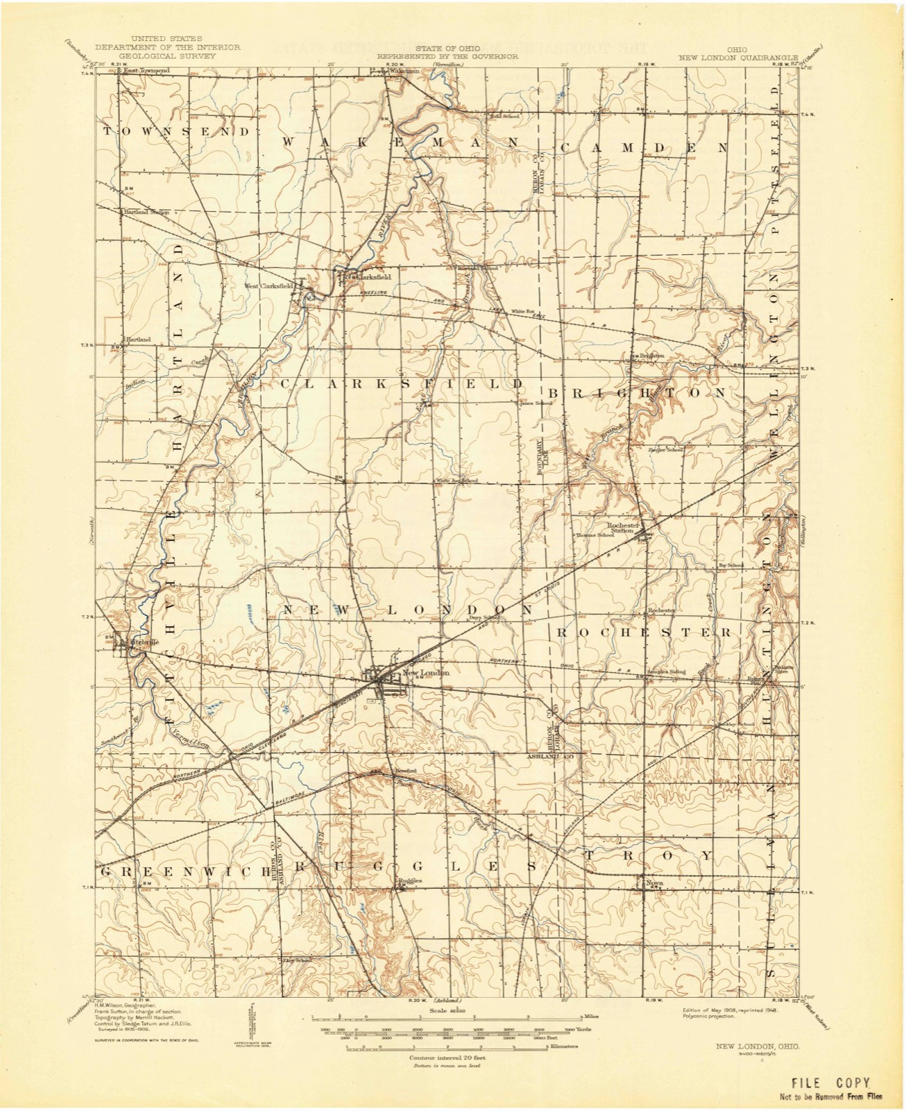
Topographic sheets covering this place
10 sheetsMatched by testing this settlement's coordinate against the published boundary of every sheet in the United States Geological Survey's historical collection. Each opens the scanned sheet at the Survey.
- 1908 USGS New London quadrangle1:62500
- 1956 USGS Toledo quadrangle1:250000
- 1956 USGS Toledo quadrangle1:250000
- 1956 USGS Toledo quadrangle1:250000
- 1956 USGS Toledo quadrangle1:250000
- 1960 USGS Clarksfield quadrangle1:24000
- 1960 USGS Clarksfield quadrangle1:24000
- 1961 USGS Toledo quadrangle1:250000
- 1986 USGS Lorain quadrangle1:100000
- 1986 USGS Lorain quadrangle1:100000







In the county-history sources
2,113 words on this townshipHistory of Huron County Ohio Its Progress and Development, published 1909 names this settlement in its chapter on Townsend Township. These are the passages that mention it, exactly as the scans read.
The first postoffice was established in 1833 or 1834, with Daniel Phillips as postmaster, who kept the office in his house, on lot ninety-two, in the first section. The office was called East Townsend, which name it has retained until the present time, for the reason that there was an office in Sandusky county of the name of Townsend.
Passage source: History of Huron County Ohio Its Progress and Development, published 1909.
Machine-read from a century-old scan, so expect the errors a machine makes: misspelled names, dropped words, stray characters.
Specimens collected near this place
12 of 732 shownRegional context, not property-specific evidence. Museums hold 732 specimens collected within 10 miles of East Townsend between 1887 and 1975: 417 Plantae, 245 Animalia, 66 Fungi, 3 Unrecorded, 1 Protozoa. 12 distinct Species records are shown. Collected by A. Woolman, B Zahuranec & party, Baumgartner, L. and others. Each is a physical object with a catalogue number, and each entry opens the museum's record. This is what was collected and kept, not a survey of what lives here - nothing can be concluded from a species being absent.
| Image | Species | Year | Collected by | Where, as recorded |
|---|---|---|---|---|
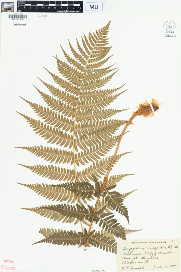 | Dryopteris marginalis (L.) A.Gray | 1887 | Leonard, F.E. | "Rich woods, bluff of Vermillion River at Beecher's. |
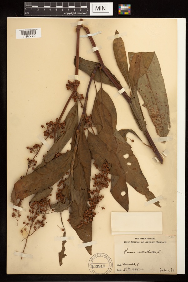 | Rumex verticillatus L. | 1896 | Stair, L. D. | |
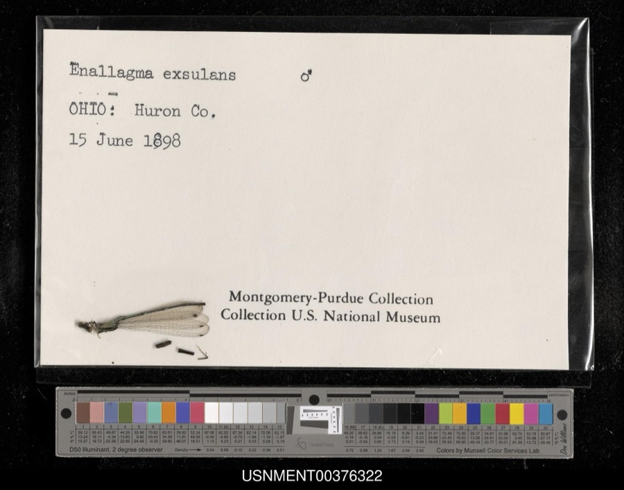 | Enallagma exsulans (Hagen, 1861) | 1898 | [Not Stated] | [Not Stated] |
 | Cephalanthus occidentalis L. | 1888 | Shafer, J.A. | W of Brighton near Cleveland |
 | Chrysemys picta (Schneider, 1783) | 1893 | not recorded | Clarksfield, Vermillion River |
 | Dryopteris carthusiana (Vill.) H.P.Fuchs | 1893 | Collector(s): Edwin Lincoln Moseley | Milan, Huron River |
 | Etheostoma caeruleum Storer, 1845 | 1893 | not recorded | Vermillion River, Clarksfield, Ohio |
 | Etheostoma nigrum Rafinesque, 1820 | 1893 | A. Woolman | Ohio, Wakeman, Vermillion River |
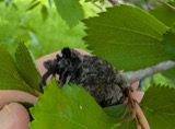 | Gymnosporangium clavipes Cooke & Peck | 1893 | Hall W. B. | Wakeman |
 | Micropterus dolomieu Lacepède, 1802 | 1893 | A. Woolman | Vermillion River, Clarksfield, Ohio |
 | Moxostoma erythrurum (Rafinesque, 1818) | 1893 | A. Woolman | Vermillion River, Clarksfield, Ohio |
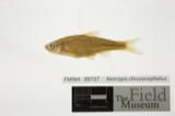 | Notropis chrysocephalus (Rafinesque, 1820) | 1893 | A. Woolman | Ohio, Wakeman, Vermillion River |
All 732 specimens within 10 miles, at the Global Biodiversity Information Facility.
Mines and quarries near this place
2 within 5 milesRegional context, not property-specific evidence. The federal mineral resources record lists 2 workings within 5 miles of East Townsend: 1 past producer, 1 producer. 1 still produces. What was taken out: Stone, Crushed/Broken. Distance is straight-line from the map coordinates, so a quarry counted here may appear on a neighbouring settlement's page as well.
| Where | Site | Commodity | Status | Recorded |
|---|---|---|---|---|
| Sandstone Quarry | Stone, Crushed/Broken | Past Producer | Sedimentary | |
| Sandstone Quarry | Stone, Crushed/Broken | Producer |
Storms near this place
5 since 2010Regional context, not property-specific evidence. The National Weather Service names East Townsend in 5 storm reports between 2010 and 2026: 3 thunderstorm wind, 1 hail, 1 tornado. No death or injury is recorded in these reports. Each account below is quoted exactly as the forecast office filed it, from the NOAA Storm Events Database, and each date opens the federal record of that event.
| When | Event | Place named | Harm | What the report says |
|---|---|---|---|---|
| June 2025 | Tornado (EF1) | East Townsend | $20,000 | This EF1 tornado with estimated peak winds of 100 mph travelled east-northeastward during its lifespan and began on the south side of Collins, near the intersection of U.S. Route 20 and Hartland Center Road. The tornado produced mainly tree damage along its path in Huron County, although some tree limbs or entire trees were downed onto residences, which caused minor structural damage. As the tornado progressed east-northeastward, it crossed Derussey Road, Wakeman Townline Road, Ogan Road, Fitchville River Road, West River Road, North River Street, Lincoln Road, and Butler Road before entering Lorain County near the Firelands Boy Scout Reservation. |
| March 2026 | Thunderstorm Wind | East Townsend | $3,000 | Power poles downed in Collins. |
| June 2010 | Thunderstorm Wind | East Townsend | $1,000 | Thunderstorm winds downed a large tree. |
| July 2020 | Thunderstorm Wind | East Townsend | - | Tree and power poles down where US-20 intersects Hartland Center Road and Derussey Road in Collins area. |
| April 2014 | Hail | East Townsend | - | Amateur Radio operator reported three quarter inch size hail. |
Nearest settlements
The eight closest, with where each one stands in the county. Distances are straight-line, computed from the Geographic Names Information System coordinates.
| Map | Place | Distance | Sheets |
|---|---|---|---|
| Collins | 0.7 miles | 14 | |
| Hartland Station | 2.6 miles | 10 | |
| West Hartland | 4.0 miles | 12 | |
| East Norwalk | 4.4 miles | 13 | |
| Wakeman | 4.9 miles | 14 | |
| Hartland | 5.1 miles | 10 | |
| West Clarksfield | 5.3 miles | 10 | |
| Clarksfield | 5.6 miles | 10 |
Provenance
This settlement is recorded in the Geographic Names Information System as feature 1064590. The sheet list is computed by point-in-boundary test against the United States Geological Survey's historical topographic inventory. Both are works of the United States government and carry no copyright under 17 U.S.C. 105.
Specimens. Global Biodiversity Information Facility (GBIF), https://www.gbif.org/. Only records licensed CC0 or CC BY are used. Records licensed CC BY-NC are excluded because this site carries advertising. Images are checked individually and any whose licence is non-commercial, no-derivatives or unreadable is refused.
Mines and quarries. USGS Mineral Resources Data System (MRDS) https://mrdata.usgs.gov/mrds/ A work of the United States government, no copyright under 17 U.S.C. 105.
Storms. NOAA National Centers for Environmental Information, Storm Events Database https://www.ncei.noaa.gov/stormevents/ A work of the United States government, no copyright under 17 U.S.C. 105. Narratives are quoted verbatim from the National Weather Service report and are not edited or summarised.