 Block
Block
West Clarksfield, Ohio
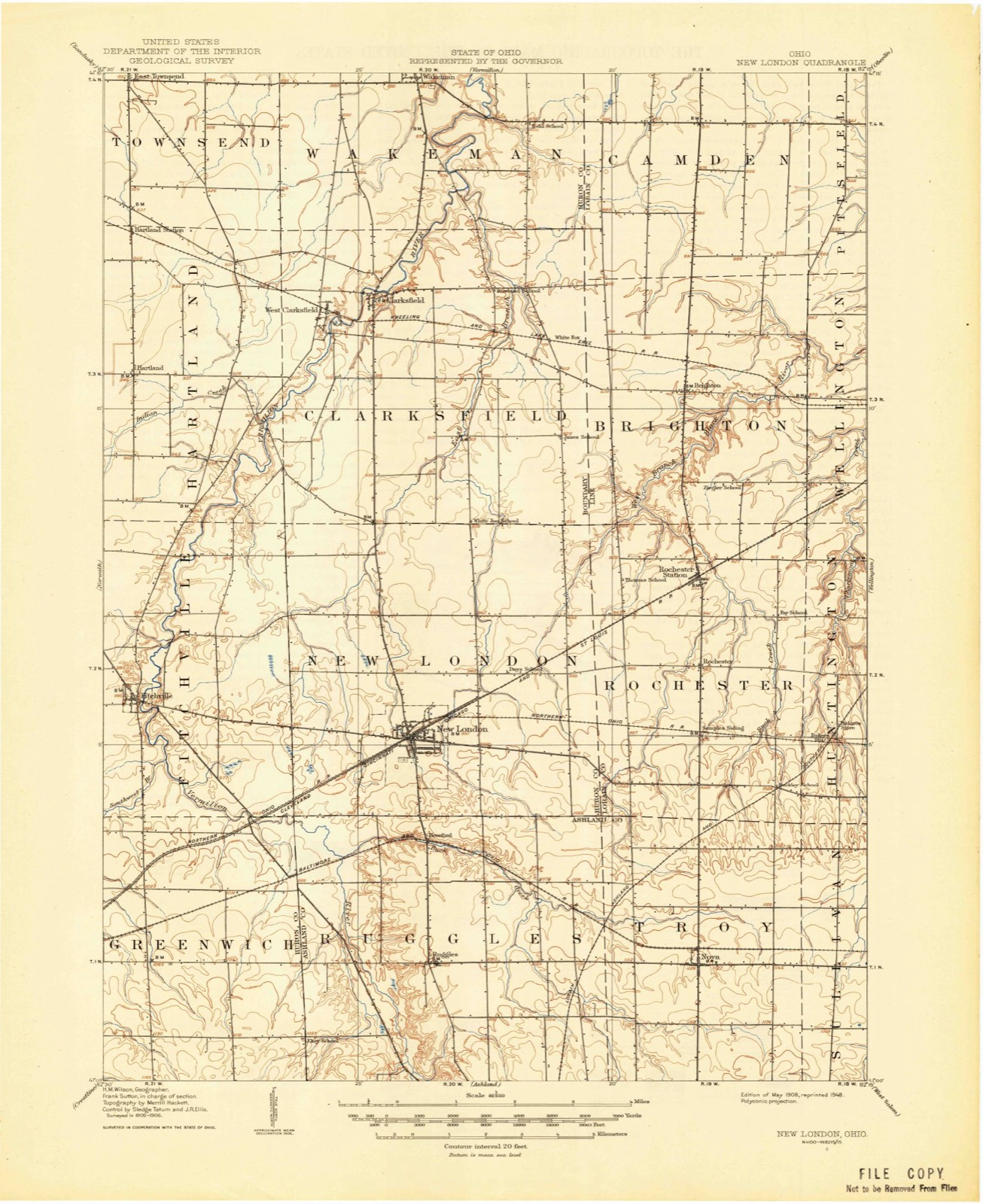
10 topographic sheets cover this place, the earliest surveyed in 1908 and the latest in 1986. It stands in Clarksfield Township. It lies in ZIP code area 44889. The Survey maps it on the Clarksfield quadrangle.
Then and now
1908 to 1986The same ground, surveyed 78 years apart. Drag the handle to wipe between them. Both sheets are United States Geological Survey originals; neither has been altered.

Topographic sheets covering this place
10 sheetsMatched by testing this settlement's coordinate against the published boundary of every sheet in the United States Geological Survey's historical collection. Each opens the scanned sheet at the Survey.
- 1908 USGS New London quadrangle1:62500
- 1956 USGS Toledo quadrangle1:250000
- 1956 USGS Toledo quadrangle1:250000
- 1956 USGS Toledo quadrangle1:250000
- 1956 USGS Toledo quadrangle1:250000
- 1960 USGS Clarksfield quadrangle1:24000
- 1960 USGS Clarksfield quadrangle1:24000
- 1961 USGS Toledo quadrangle1:250000
- 1986 USGS Lorain quadrangle1:100000
- 1986 USGS Lorain quadrangle1:100000







In the county-history sources
7,228 words on this townshipHistory of Huron County Ohio Its Progress and Development, published 1909 names this settlement in its chapter on Clarksfield Township. These are the passages that mention it, exactly as the scans read.
The first settlers, coming as they did from New England, were people of considerable education as a rule, and they began to erect school houses very soon after they were established in their new homes. Captain Husted gave Ezra Wood credit for one day's work at school house in December, 1818. The first school house in that township was built of logs, south of the Hollow not far from the Hough house, in 1819 and Miss Alzina Barker was the first teacher. This building was burned in 1829. It was supposed that some of the young men set fire to it in hopes of getting a better building. A frame building was soon afterward built just north of the river on the east side of the road. Soon after the first school house was built at the Hollow another was erected in the Stiles settlement some distance south of the present village of West Clarksfield. During the first years the schools were supported by those inhabitants who sent children to school, the expense being borne according to the number sent. But three months of school were taught in a year.
Passage source: History of Huron County Ohio Its Progress and Development, published 1909.
There was a society of Free Will Baptists here at one time. When the Millerite doctrine began to be preached here, some of the members of the Baptist church embraced the new faith but when the prophecy that the world would come to an end on a certain day in April, 1844, did not prove to be true, some of these joined the Congregational church, under the preaching of John Todd. There was a larger society of Close Communion Baptists here, among whom were J. J. Cobb and wife, Robert W. Hurlbut and wife, Ezra Wood, the Fletchers. Aaron and Levi Rowland, Esex Call and family, Asa Percy, William Wood, Ransom Day and wife, Mrs. I. B. Scott and Mrs. Henry Kress, the last two being the only ones to hold their membership when the society disbanded. In 1845 a new school house was built across the street from the Congregational church and the building which had been used was made over into a church. J. J. Cobb helped much in the work. Elder Hall was the first minister in the new church building. The church society was kept up for about ten years and then there was a division and some of the members withdrew and organized a society at Rowland's corners. About 1837 a Methodist church was organized at East Clarksfield and a church building was afterwards erected at Whitefox corners and is still in use. We have been unable to get any history of the early days of this church. Two other Methodist churches have been built in the township, one at Barrett's corners and the other at West Clarksfield.
Passage source: History of Huron County Ohio Its Progress and Development, published 1909.
Machine-read from a century-old scan, so expect the errors a machine makes: misspelled names, dropped words, stray characters.
Specimens collected near this place
12 of 632 shownRegional context, not property-specific evidence. Museums hold 632 specimens collected within 10 miles of West Clarksfield between 1887 and 1975: 407 Plantae, 153 Animalia, 68 Fungi, 3 Unrecorded, 1 Protozoa. 12 distinct Species records are shown. Collected by A. Woolman, Baumgartner, L., C. E. Jennings and others. Each is a physical object with a catalogue number, and each entry opens the museum's record. This is what was collected and kept, not a survey of what lives here - nothing can be concluded from a species being absent.
| Image | Species | Year | Collected by | Where, as recorded |
|---|---|---|---|---|
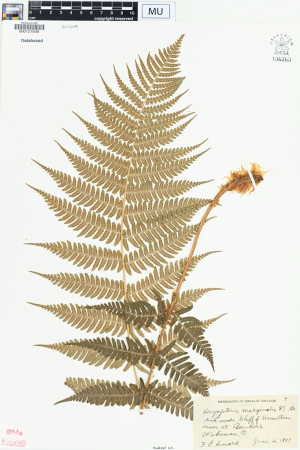 | Dryopteris marginalis (L.) A.Gray | 1887 | Leonard, F.E. | "Rich woods, bluff of Vermillion River at Beecher's. |
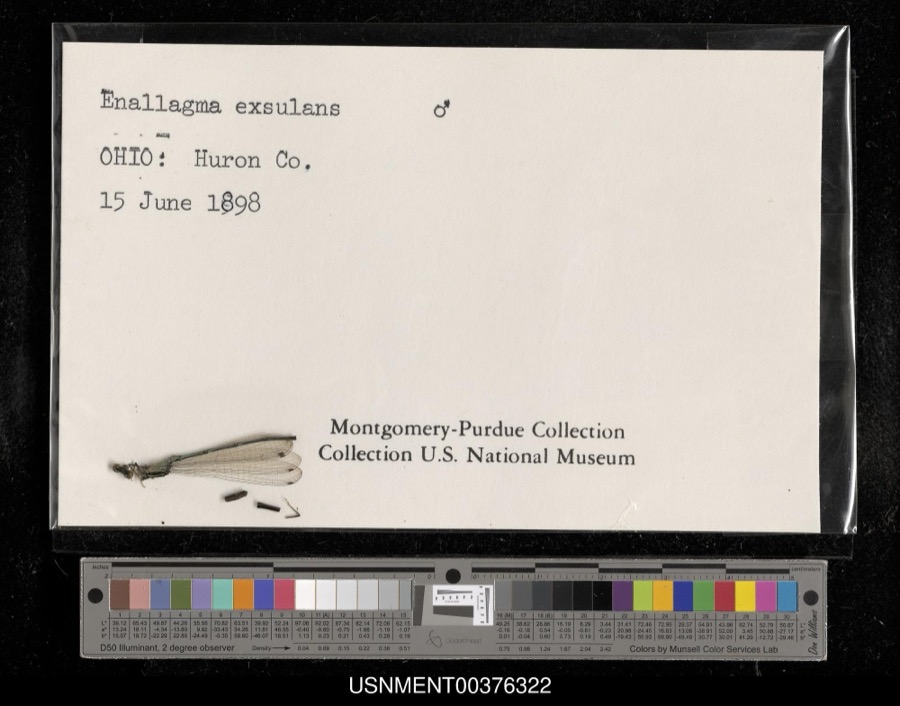 | Enallagma exsulans (Hagen, 1861) | 1898 | [Not Stated] | [Not Stated] |
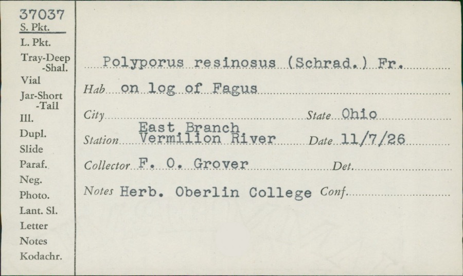 | Polyporus resinosus (Schrad.) Fr. | 1926 | F.O. Grover | East Branch, Vermilion River |
 | Cephalanthus occidentalis L. | 1888 | Shafer, J.A. | W of Brighton near Cleveland |
 | Chrysemys picta (Schneider, 1783) | 1893 | not recorded | Clarksfield, Vermillion River |
 | Etheostoma caeruleum Storer, 1845 | 1893 | not recorded | Vermillion River, Clarksfield, Ohio |
 | Etheostoma nigrum Rafinesque, 1820 | 1893 | A. Woolman | Ohio, Wakeman, Vermillion River |
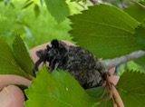 | Gymnosporangium clavipes Cooke & Peck | 1893 | Hall W. B. | Wakeman |
 | Micropterus dolomieu Lacepède, 1802 | 1893 | A. Woolman | Vermillion River, Clarksfield, Ohio |
 | Moxostoma erythrurum (Rafinesque, 1818) | 1893 | A. Woolman | Vermillion River, Clarksfield, Ohio |
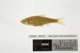 | Notropis chrysocephalus (Rafinesque, 1820) | 1893 | A. Woolman | Ohio, Wakeman, Vermillion River |
 | Notropis cornutus (Mitchill, 1817) | 1893 | not recorded | Vermillion River, Clarksfield, Ohio |
All 632 specimens within 10 miles, at the Global Biodiversity Information Facility.
Storms near this place
2 since 2017Regional context, not property-specific evidence. The National Weather Service names West Clarksfield in 2 storm reports between 2017 and 2020: 1 tornado, 1 thunderstorm wind. No death or injury is recorded in these reports. Each account below is quoted exactly as the forecast office filed it, from the NOAA Storm Events Database, and each date opens the federal record of that event.
| When | Event | Place named | Harm | What the report says |
|---|---|---|---|---|
| November 2017 | Tornado (EF1) | West Clarksfield | $250,000 | An EF1 tornado touched down along Wakeman Town Line Road just north of State Route 18. A home near the initial touchdown sustained significant roof damage and some hardwood trees in the area were damaged. The tornado continued east northeast and damaged a couple buildings as it crossed Fitchville River Road. The tornado then turned to the northeast. A barn on St. Johns Road lost most of its roof. Debris from the roof was found up to a quarter mile away. The tornado continued on the ground for a couple hundred yards more before finally lifting over open farmland. Dozens of trees were snapped or uprooted along the damage path. This tornado was on the ground just under two miles and had a damage path up to 100 yards in the width. |
| August 2020 | Thunderstorm Wind | West Clarksfield | - | Power pole downed across Wakeman Townline Road, near Crandall Road. Time estimated via radar. |
Nearest settlements
The eight closest, with where each one stands in the county. Distances are straight-line, computed from the Geographic Names Information System coordinates.
| Map | Place | Distance | Sheets |
|---|---|---|---|
| Clarksfield | 0.9 miles | 10 | |
| Hartland | 3.5 miles | 10 | |
| Hartland Station | 3.7 miles | 10 | |
| White Fox | 3.9 miles | 11 | |
| Wakeman | 4.6 miles | 14 | |
| East Townsend | 5.3 miles | 10 | |
| Collins | 5.8 miles | 14 | |
| West Hartland | 6.0 miles | 12 |
Elsewhere
Matched on this settlement's Geographic Names Information System number rather than its name, so it cannot be a different place of the same name in another state.
| Wikidata item Q122569846 | The structured record the population and elevation above come from. Public domain (CC0). |
Provenance
This settlement is recorded in the Geographic Names Information System as feature 1049306. The sheet list is computed by point-in-boundary test against the United States Geological Survey's historical topographic inventory. Both are works of the United States government and carry no copyright under 17 U.S.C. 105.
Specimens. Global Biodiversity Information Facility (GBIF), https://www.gbif.org/. Only records licensed CC0 or CC BY are used. Records licensed CC BY-NC are excluded because this site carries advertising. Images are checked individually and any whose licence is non-commercial, no-derivatives or unreadable is refused.
Storms. NOAA National Centers for Environmental Information, Storm Events Database https://www.ncei.noaa.gov/stormevents/ A work of the United States government, no copyright under 17 U.S.C. 105. Narratives are quoted verbatim from the National Weather Service report and are not edited or summarised.