 Block
Block
Clayton, Ohio
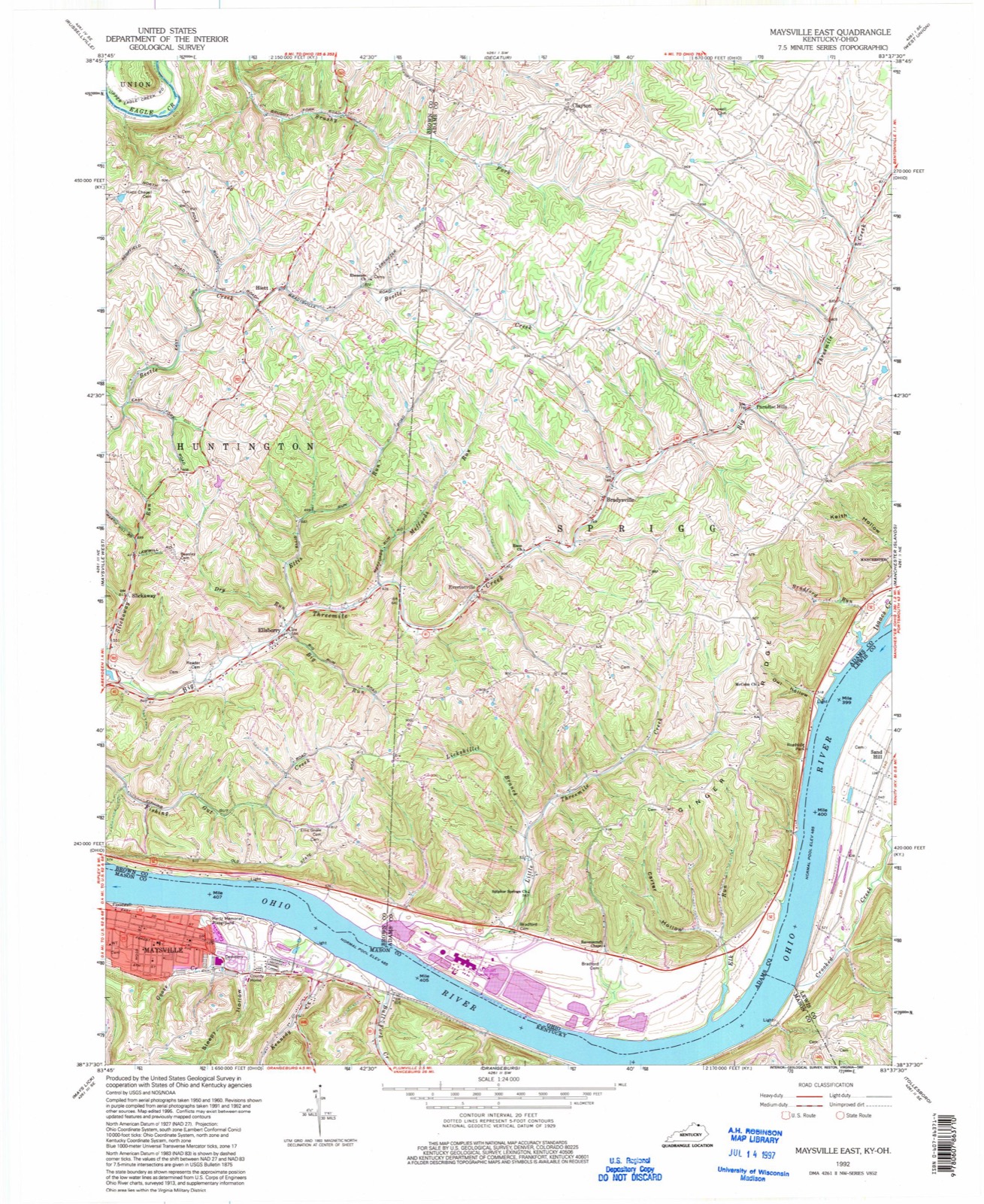
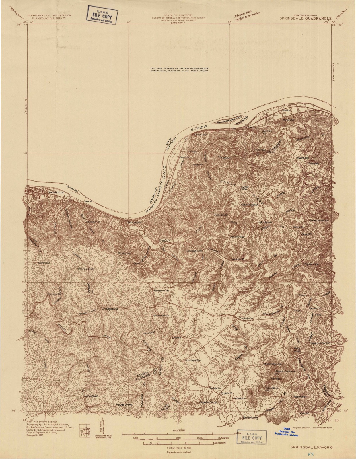
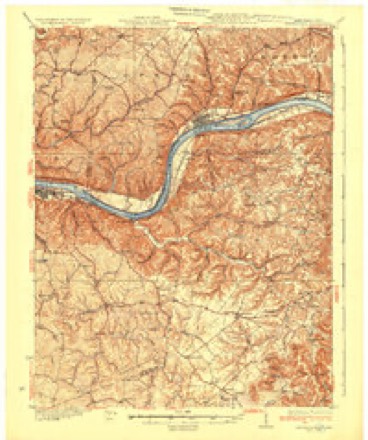
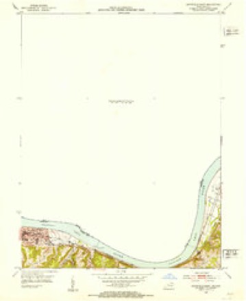
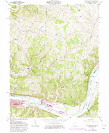
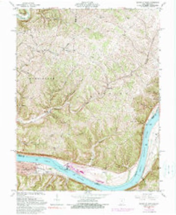
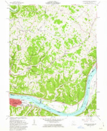
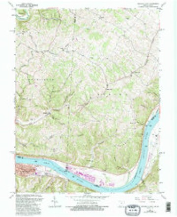
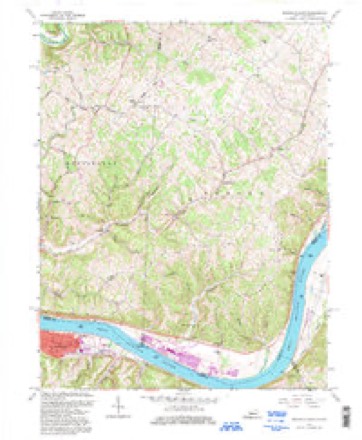
15 topographic sheets cover this place, the earliest surveyed in 1929 and the latest in 1992. It stands in Sprigg Township. It lies in ZIP code area 45144. The Survey maps it on the Maysville East quadrangle.
Then and now
1929 to 1992The same ground, surveyed 63 years apart. Drag the handle to wipe between them. Both sheets are United States Geological Survey originals; neither has been altered.
Compare 1929 against another survey:
Topographic sheets covering this place
15 sheetsMatched by testing this settlement's coordinate against the published boundary of every sheet in the United States Geological Survey's historical collection. Each opens the scanned sheet at the Survey.
- 1929 USGS Springdale quadrangle1:48000
- 1929 USGS Springdale quadrangle1:62500
- 1935 USGS Springdale quadrangle1:62500
- 1952 USGS Maysville East quadrangle1:24000
- 1957 USGS Huntington quadrangle1:250000
- 1957 USGS Huntington quadrangle1:250000
- 1957 USGS Huntington quadrangle1:250000
- 1960 USGS Huntington quadrangle1:250000
- 1961 USGS Maysville East quadrangle1:24000
- 1961 USGS Maysville East quadrangle1:24000
- 1961 USGS Maysville East quadrangle1:24000
- 1961 USGS Maysville East quadrangle1:24000
- 1986 USGS Maysville quadrangle1:100000
- 1991 USGS Maysville quadrangle1:100000
- 1992 USGS Maysville East quadrangle1:24000
What happened here
An account from the chapter on Sprigg township, The inset identifies its exact source book and publication year.
Ellis Palmer
Was a Pennsylvanian, and had a brother most cruelly tortured and murdered by the Indians there. He vowed vengeance against all Indians, whether friends or enemies. It is probable that he has been the means of sending many a red man to the happy hunting ground. It is related that on one occasion an Indian in passing through the neighborhood stayed overnight with Will G Ibert, just over the Brown county line.
In the county-history sources
18,686 words on this townshipCaldwell's Illustrated Historical Atlas of Adams County, Ohio. 1797-1880, published 1880 names this settlement in its chapter on Sprigg Township. These are the passages that mention it, exactly as the scans read.
This village lies in the north-west corner of the township The neighboring country looks poor and uninviting. It contains some eight or ten houses - has two stores and one blacksmith shop,- but no post-office. Their .mail is brought from -Bentonville by private conveyance, as apportunity offers, and left at one of the stores for distribution to the community. There was a store kept here as early as 1838 or 1839, by Vincent Cropper, and about 1840, George Bryan laid off a few lots for a village, but the plat was never recorded. Mr. Bryan being an ardent Whig, called his new town Clayton, in honorof Henry Clay, or .James M. Clayton, the distinguished Senator from Delaware.
Passage source: Caldwell's Illustrated Historical Atlas of Adams County, Ohio. 1797-1880, published 1880.
The first bouse was built in 1812, of hewed logs. After being used twenty-five years, it was accidently burned. In 1839 a new frame house 40x45 was built about half a mile east of the first one. In 1845 this house was abandoned and finally sold, a part of the members uniting with others in the neighborhood of Clayton, formed a church there, while another portion united with the Bentonville church. The old graveyard is still used.
Passage source: Caldwell's Illustrated Historical Atlas of Adams County, Ohio. 1797-1880, published 1880.
But little can be gathered of the history of this chqrch. It appears to have been Gi^nized about 1830, at what is known as the Buckeye school house, some two miles southwest of Bentonville. In 1832, they built a brick house where the present frame one stands. This house was used until about 1850, when it was replaced by the present frame.- Alexander McLanc organized the church and preached for the congregation foivsome vea rs. Mathew Gardner preached here occasionally after its organization.
Passage source: Caldwell's Illustrated Historical Atlas of Adams County, Ohio. 1797-1880, published 1880.
Machine-read from a century-old scan, so expect the errors a machine makes: misspelled names, dropped words, stray characters.
Read the whole chapter on Sprigg Township - it names this place 4 more 4 times.
Fires near this place
19 since 2003Regional context, not property-specific evidence. The federal wildfire occurrence database lists 19 fires within 5 miles of Clayton between 2003 and 2019, burning about 121 acres in total. None started naturally. 4 were recorded as arson. Distance is straight-line from the map coordinates, so a fire counted here may appear on a neighbouring settlement's page as well.
| Reported cause | Fires |
|---|---|
| Debris and open burning | 9 |
| Missing data/not specified/undetermined | 6 |
| Arson/incendiarism | 4 |
The most recent of them, most recent first, with the day each was reported and the service that recorded it.
| Date | Cause | Size | Reported by | Name on the report |
|---|---|---|---|---|
| 10 September 2019 | Debris and open burning | under an acre | Ohio Department of Natural Resources | 15287 |
| 7 May 2008 | Arson/incendiarism | under an acre | Ohio Department of Natural Resources | not named |
| 1 May 2018 | Missing data/not specified/undetermined | 2.0 acres | Ohio Department of Natural Resources | 10230 |
| 20 April 2014 | Missing data/not specified/undetermined | under an acre | Ohio Department of Natural Resources | not named |
| 19 April 2014 | Debris and open burning | under an acre | Ohio Department of Natural Resources | not named |
| 14 April 2003 | Missing data/not specified/undetermined | 2.0 acres | Ohio Department of Natural Resources | not named |
| 1 April 2003 | Missing data/not specified/undetermined | 15 acres | Ohio Department of Natural Resources | not named |
| 8 March 2003 | Arson/incendiarism | 5.0 acres | Ohio Department of Natural Resources | not named |
Settlements close enough to share some of these fires:
Specimens collected near this place
12 of 69 shownRegional context, not property-specific evidence. Museums hold 69 specimens collected within 10 miles of Clayton between 1929 and 1974: 59 Animalia, 8 Plantae, 2 Fungi. 12 distinct Species records are shown. Collected by A JOHN, A. Cronquist, ANSEL JOHN and others. Each is a physical object with a catalogue number, and each entry opens the museum's record. This is what was collected and kept, not a survey of what lives here - nothing can be concluded from a species being absent.
| Image | Species | Year | Collected by | Where, as recorded |
|---|---|---|---|---|
 | Ambystoma maculatum (Shaw, 1802) | 1929 | Walker, C. F. (Charles F.) & Hine, J. S. (James Stewart) | Wooded swamp, Monroe Twp, Adams Co., Ohio |
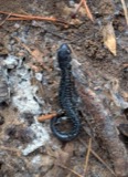 | Plethodon glutinosus (Green, 1818) | 1929 | Hine, J. S. (James Stewart) & Walker, C. F. (Charles F.) | 1 mi. NE Wrightsville, Monroe Twp., Adams Co., Ohio |
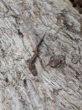 | Plethodon cinereus (Green, 1818) | 1930 | Dury, R. (Ralph) | Liberty Twp., Adams Co., Ohio |
| Acipenser fulvescens Rafinesque, 1817 | 1931 | Trautman, M. B. (Milton Bernard) | Ohio River, within Sprigg township, near Manchester, Sprigg township | |
 | Carpiodes velifer (Rafinesque, 1820) | 1931 | Trautman, M. B. (Milton Bernard) | Ohio River, (off U.S. 52), at Manchester OH, Sprigg Township |
| Notropis blennius (Girard, 1856) | 1938 | Rhoades, R. (Randall) | Ohio River, Manchester Island, ~1.8 mi E of Manchester, Tollesboro CCD | |
| Orconectes juvenilis (Hagen, 1870) | 1939 | R. Rhoades | Ohio River, 3 mi. below Aberdeen, Huntingon Township | |
| Orconectes propinquus (Girard, 1852) | 1939 | R. Rhoades | Ohio River, S. side of Manchester Island | |
 | Orconectes rusticus (Girard, 1852) | 1939 | R. Rhoades | Big Three Mile Creek 1 mi. above Bradyville, Sprigg Township |
| Lotus tenuis Waldst. & Kit. ex Willd. | 1945 | A. Cronquist | along roadside 1 mile north of West Union | |
 | Bufo americanus Holbrook, 1836 | 1948 | ANSEL JOHN | 4 MI S OF DECATUR |
| Regina septemvittata (Say, 1825) | 1948 | A JOHN | OWL CREEK 4 MI S OF DECATUR |
All 69 specimens within 10 miles, at the Global Biodiversity Information Facility.
Mines and quarries near this place
1 within 5 milesRegional context, not property-specific evidence. The federal mineral resources record lists 1 working within 5 miles of Clayton: 1 producer. All of them still produce. What was taken out: Calcium. Distance is straight-line from the map coordinates, so a quarry counted here may appear on a neighbouring settlement's page as well.
| Where | Site | Commodity | Status | Recorded |
|---|---|---|---|---|
| Maysville Kiln | Calcium | Producer |
Storms near this place
2 since 2019Regional context, not property-specific evidence. The National Weather Service names Clayton in 2 storm reports between 2019 and 2024: 1 thunderstorm wind, 1 tornado. The reports record 1 injury. Each account below is quoted exactly as the forecast office filed it, from the NOAA Storm Events Database, and each date opens the federal record of that event.
| When | Event | Place named | Harm | What the report says |
|---|---|---|---|---|
| April 2024 | Tornado (EF1) | Clayton | 1 hurt, $200,000 | The tornado began south of the intersection of Brier Ridge Road and Robinson Hollow Road, southwest of West Union. Damage to trees and structures occurred here, with one manufactured structure on Robinson Hollow Road completely destroyed. From here, the tornado continued northeast and caused outbuilding and tree damage along Fryman Road.||The tornado then caused damage along Eagle Creek Road and Tomlin Road, with the Kirker Covered Bridge losing all of it's roofing panels. Several well constructed outbuildings were heavily damaged on Tomlin Road and multiple large hardwood trees were snapped. Similar magnitude damage was observed along State Route 136 and McClanahan Road, where hardwood trees were snapped and some structures were damaged. Winds in this area were estimated to be around 100 mph. ||To the northeast, along Old Cincinnati Pike and Stan Roberts Road, the damage intensity lessened slightly as the tornado expanded to the maximum estimated with of 500 yards. Uprooted and snapped trees continued to be observed along State Route 125, Nehus Road, Chaparal Road, and State Route 247. Damage became less persistent to the northeast, but considerable tree loss at the Adams Lake State Park indicated the tornado was still on the ground northeast of West Union. The tornado is believed to have dissipated to the west of State Route 41. |
| June 2019 | Thunderstorm Wind | Clayton | $1,000 | A tree was knocked down along Brier Ridge Road. |
Nearest settlements
The eight closest, with where each one stands in the county. Distances are straight-line, computed from the Geographic Names Information System coordinates.
| Map | Place | Distance | Sheets |
|---|---|---|---|
| Paradise Hills | 2.9 miles | 15 | |
| Bentonville | 3.3 miles | 14 | |
| Bradysville | 3.3 miles | 15 | |
| Evertonville | 4.1 miles | 15 | |
| Fairview | 4.6 miles | 9 | |
| Manchester | 5.2 miles | 14 | |
| Panhandle | 5.9 miles | 10 | |
| Catbird | 6.4 miles | 14 |
Provenance
This settlement is recorded in the Geographic Names Information System as feature 1039153. The sheet list is computed by point-in-boundary test against the United States Geological Survey's historical topographic inventory. Both are works of the United States government and carry no copyright under 17 U.S.C. 105.
Wildfire. Short, Karen C. 2022. Spatial wildfire occurrence data for the United States, 1992-2020 [FPA_FOD_20221014]. 6th Edition. Fort Collins, CO: Forest Service Research Data Archive. https://doi.org/10.2737/RDS-2013-0009.6 Collected with United States Government funding and usable without additional permissions or fees.
Specimens. Global Biodiversity Information Facility (GBIF), https://www.gbif.org/. Only records licensed CC0 or CC BY are used. Records licensed CC BY-NC are excluded because this site carries advertising. Images are checked individually and any whose licence is non-commercial, no-derivatives or unreadable is refused.
Mines and quarries. USGS Mineral Resources Data System (MRDS) https://mrdata.usgs.gov/mrds/ A work of the United States government, no copyright under 17 U.S.C. 105.
Storms. NOAA National Centers for Environmental Information, Storm Events Database https://www.ncei.noaa.gov/stormevents/ A work of the United States government, no copyright under 17 U.S.C. 105. Narratives are quoted verbatim from the National Weather Service report and are not edited or summarised.